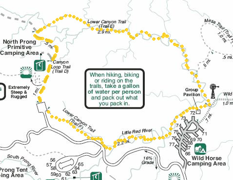
This is a scenic 6.6-mile loop through the lower canyons in the north
central part of the park.
It is open to hikers, runners, cyclists, and equestrians. I marked it in
gold on the map section below.Most of the loop was new to Jim and me this year.
Last year we went out and back on the Canyon Loop Trail (D)
and one to two miles west on the Upper Canyon Trail (not shown, off to
the top left of map below) but not on the Lower Canyon Trail (E) or
Little Red River Trail (F).
To see this trail in context, check the full-sized pdf. map at this
link.
Jim incorporated these trails into his various long loop runs through
the park. Cody and I hiked the loop just once, in the clockwise
direction. All the photos in this entry are from that hike -- another beautiful day at Caprock Canyons!
This loop can be accessed via the park road at either the Wild Horse
campground or the North Prong parking area, or by trail from several
other locations.
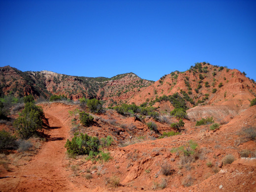
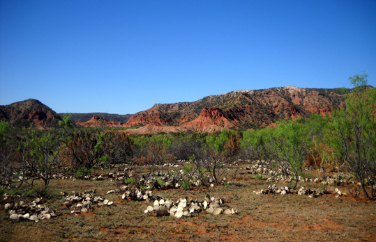
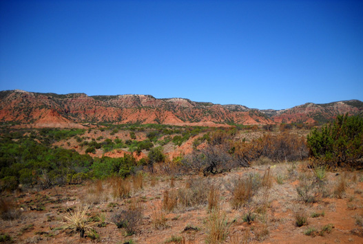
On the day I took these pictures I drove the hilly park road out to the North Prong parking
area. The drive itself is quite scenic, with views of the canyons in all
directions before descending to the Little Red River and one of its
tributaries:
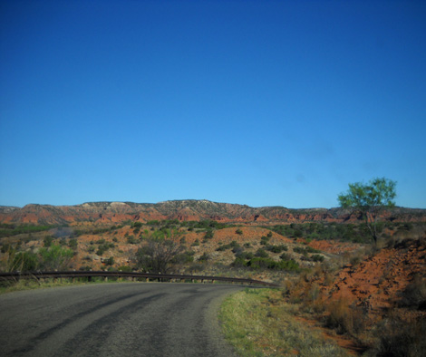
That's one of the two very steep hills on the park road
(16% grade). There is an equally tough descent and ascent -- if
not steeper -- on the Little Red River Trail to the river itself
and back up again, but the rest of this loop is mild in comparison.
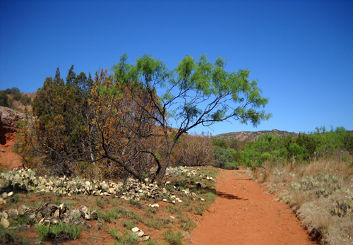
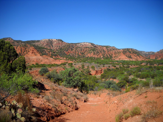
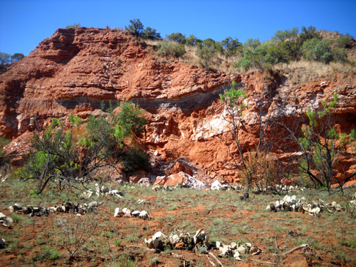
CANYON LOOP TRAIL (D)
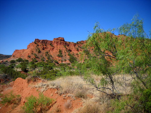
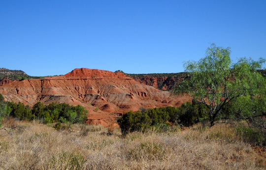
Some of the best scenery is right at the trailhead for the Canyon
Loop Trail:
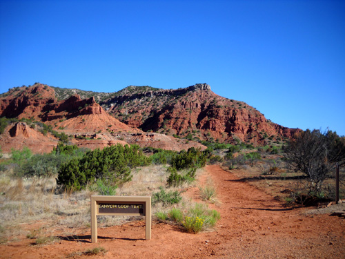
This is a popular trail because of its easy access,
gentle grades, and great views of the rock formations all around them.
Folks who are unable to hike the trail for any distance
can see some beautiful scenery in just the first half mile or mile of
the trail -- or even from the window of their vehicle in the
parking lot if they don't have the time or ability to walk, run, or ride
their bike or horse.
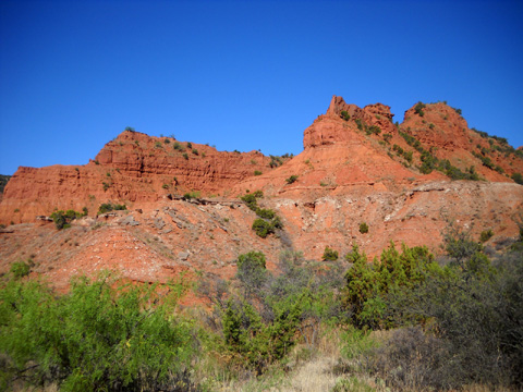
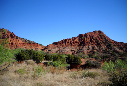
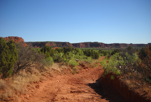
The trail is wide, hard-packed, and mostly smooth for
about half a mile as it ascends gradually to what I call "the portal"
between the two fluted hills below:
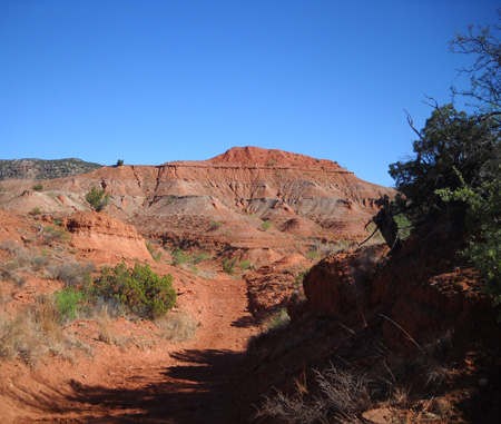
The trail remains wide and undulating for another mile past
that opening as it heads north and intersects with the Upper (C) and
Lower (E) Canyon Trails:
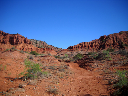
Soon after the "portal" there is an intersection with
the Haynes Ridge Overlook Trail (B) that basically goes straight up to a
ridge that bisects the Upper Canyon Loop in the western part of the park
(more about that in the next entry). Neither of us has gone up that
trail yet, partly because it is marked "extremely steep and rugged" on
the park map.
Beyond that intersection is a short trail to the North
Prong primitive camping area.
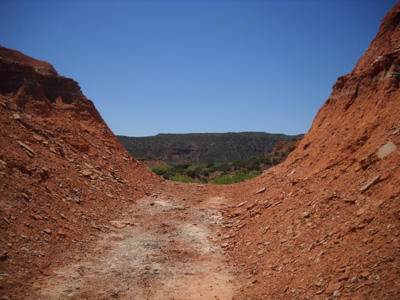
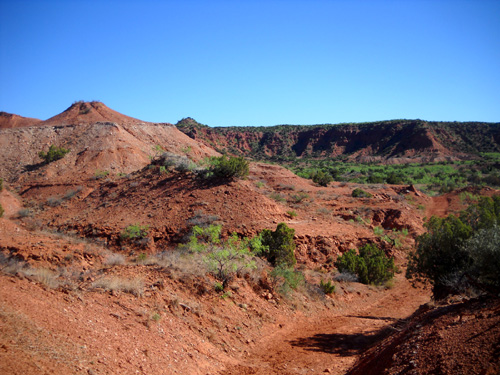
These photos are a little farther along the Canyon Loop
Trail going north:
Did I mention the park is extremely dry this spring??
Note the cracks in the trail:
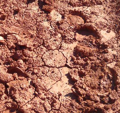
This trail is more like dried clay than sand. The
surface was very hard this week.
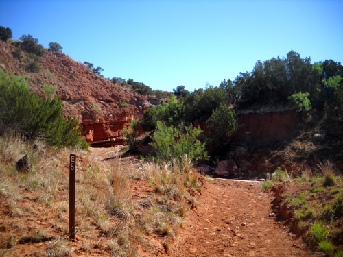
The intersection of the Upper, Lower, and Canyon Loop trails is
well-marked and has a bench. Some trail users turn around here and
return to the parking area for a nice three-mile trek. Others continue
to the right or left for more adventure.
This sign warning trail users to have adequate water before
proceeding can be found in several locations around the park:
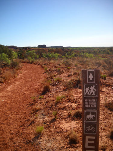
"No water? You should turn back."
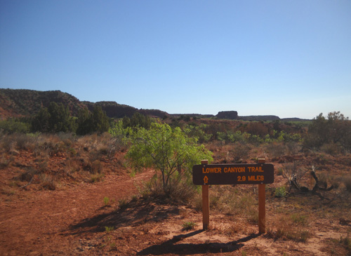
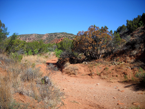
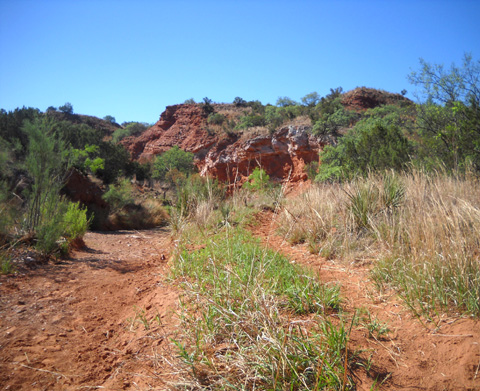
LOWER CANYON TRAIL (E)
Cody and I turned right at the intersection onto the Lower Canyon
Trail, which heads in a general southeastern direction toward the
equestrian campground for about three miles.
The trail surface is similar to the Canyon Loop Trail but flatter for
the first half mile.
The rangers were busy in this part of the park with controlled burns
during the winter. This is another "schizo" trail where one side was
burned and the other wasn't:
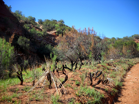
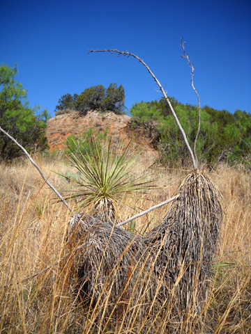
Burned yuccas (above) and
non-burned yuccas (below)
Crispy cacti
Pretty soon the Lower Canyon Trail started roller-coastering through
about a dozen dry stream beds:
It's mostly the same creek or river that courses through the canyon;
the trail goes up and down each time it crosses the streambeds and
sometimes follows the beds for a short distance. Every one of the
crossings was bone dry in this section of the park.
Equestrians would probably have more fun just following the stream
beds when they're as dry as they are now. The water has cut some
interesting rock walls. Because of the rocks and sand in the streams,
however, the trail is easier to
negotiate if you're on foot or wheels (bicycles only; no
motorized vehicles are allowed on these trails, thank goodness).
Stream bed (L) or trail (R)?
It's your choice.
Continued on
next page so it's easier to load the
photos . . .
Happy trails,
Sue
"Runtrails & Company" - Sue Norwood, Jim O'Neil,
and Cody the Ultra Lab
Previous
Next
© 2011 Sue Norwood and Jim O'Neil
