(Continued from
last page.)
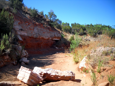
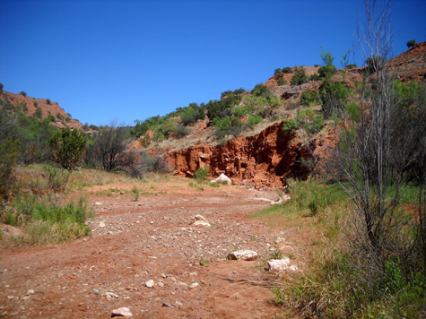
Many of the streams beds have rocks and deep sand that are tougher to
negotiate than the very hard trail surface but they certainly add
interest to the trail. I wandered up and down several of the crossings
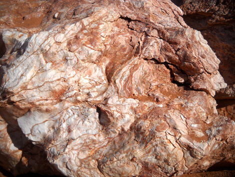
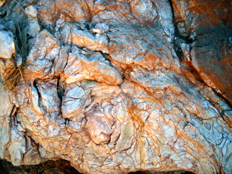
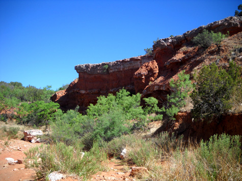
to inspect the layers of rocks in the walls and the boulders lying about:
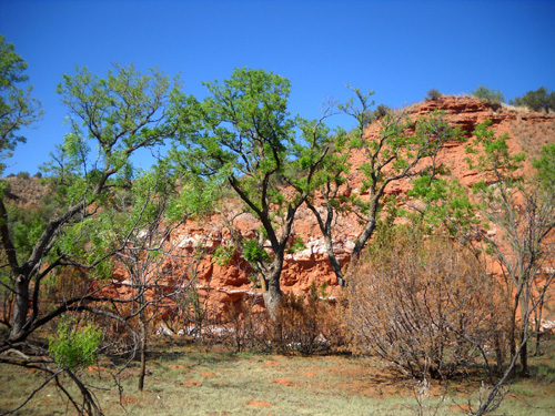
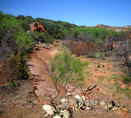
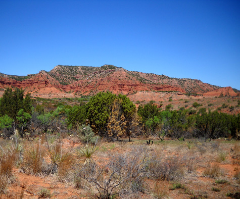
I turned one corner and found myself in a little green oasis. These
taller trees by the river have gotten enough moisture during the winter
to withstand the current drought and the controlled burn:
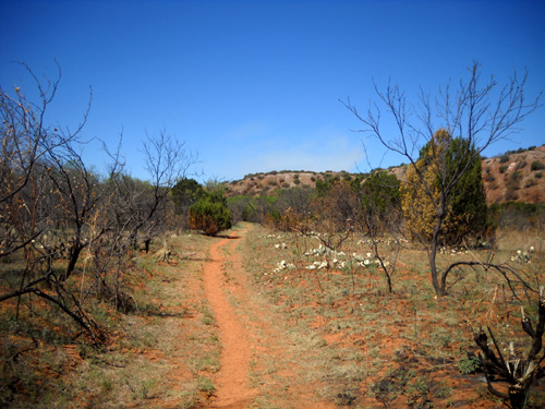
Continuing farther up the trail toward the equestrian campground .
. .
The single-track Mesa Trail intersects with the Lower
Canyon Trail after about 2˝ miles:
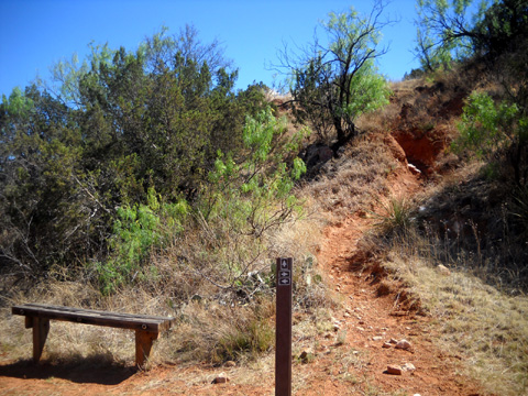
Jim has run the Mesa Trail but I haven't.
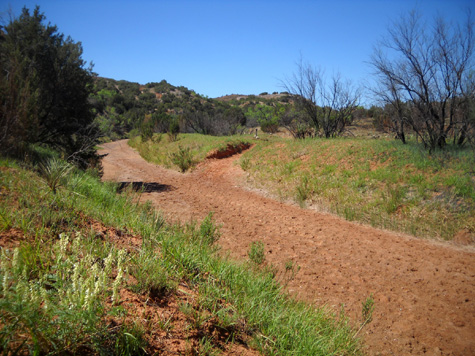
The Lower Canyon Trail flattens out for about 1/8 mile
before the intersection with the Little Red River, Wild Horse, and
equestrian campground trails:
This part of the trail looks like it could be a
creek if it rains or snows a lot.
The Wild Horse Trail goes east one mile to connect to the Canyon Rim
Trail, described in a previous entry, and south 7/10ths mile to the Wild
Horse camping area for equestrians.
At that intersection I turned west and followed the Little Red
River/Lower Canyon Trail along the riverbed for the next 2.2 miles back
to the North Prong parking area.
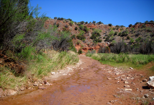
LITTLE RED RIVER/LOWER CANYON TRAIL (F)
This trail starts off as flat single-track
but soon goes into and out of the riverbed numerous
times as it
winds through the lower canyons:
The first crossing was fairly dry but there was some
water in the riverbed on either side of the trail:
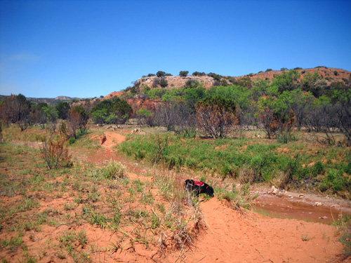
We crossed the riverbed on this trail about ten times.
There was only a little bit of water at each crossing,
barely enough for Cody to get a drink. I imagine the stream crossings
are a bit of a challenge when there's more rainfall or snow runoff. In
fact, last year Jim was on this trail and turned back at one point
because there was so much water in the river.
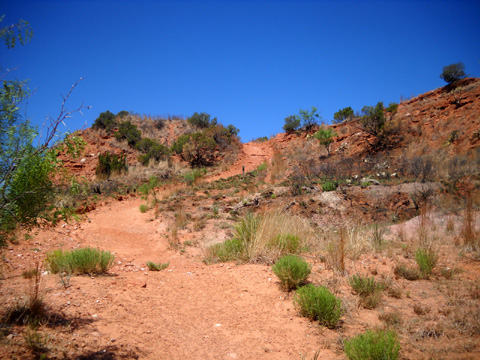
After approximately a mile the trail widens and ascends
to a bluff over the river:
Mesa overlooking the river
Shortly after this spot, the Little Red River Trail
takes a dive down to the river on a steep, narrow trail with loose
rocks. Both Jim and I missed the trail the first time we were there
because it isn't marked and it just disappears over the edge of the
bluff like a ditch formed from runoff. We each mistakenly
followed the wider trail down to the park road, where it ends.
OK. Let's try that again. Note that we did this same
process separately . . .
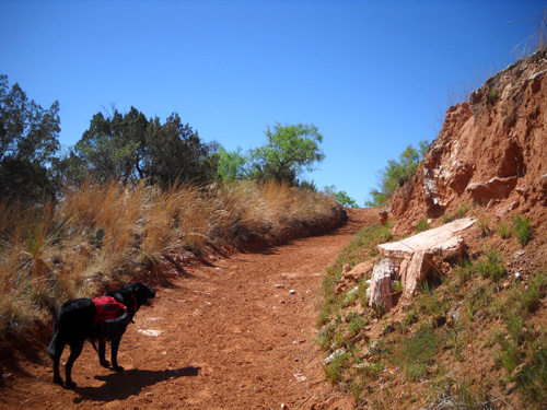
Back up to the rim, find the more obscure trail, realize
it is the one we want, then slip-slide down the steep, rocky slope to the river. The next two pictures look back up that hill:
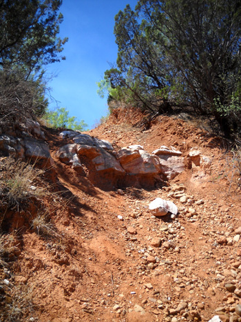
The very top of that slope (first of the two photos
above) might be a little dangerous for horses or bikes
going downhill. It was so steep that I went down
the first set of rocks backwards to protect my knees. I think it would
be easier for most people and horses to go uphill (CCW on the loop or
eastbound on this section of trail).
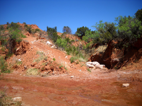
There was water in this part of the river, too, and I
got my feet a little wet here.
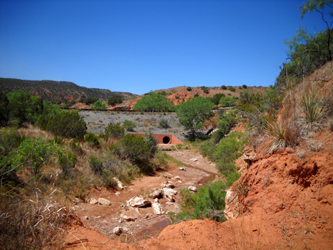
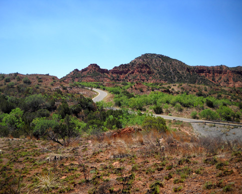
The trail crosses the river a couple hundred feet from
the park road bridge. I took this photo of the bridge as I ascended the
trail on the
other side of the river:
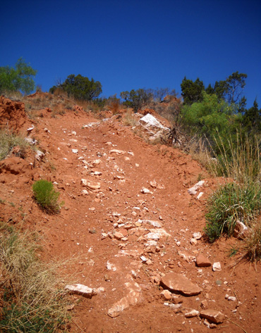
The trail on that side is no picnic, either. In fact,
it's just as steep, slide-y, and even longer because the next mesa is higher:
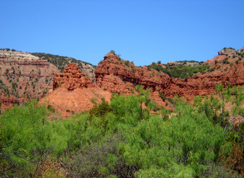
At the top of the bluff there are great views back to
Eagle's Point (below) and in every other direction:
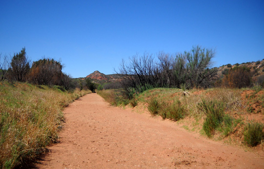
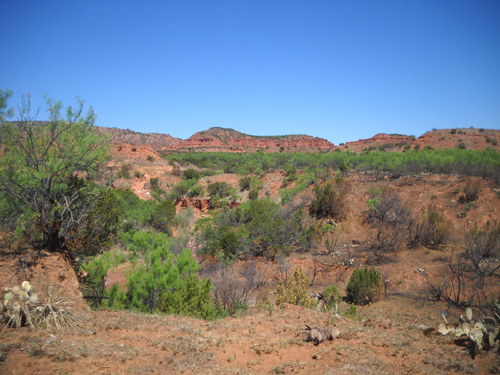
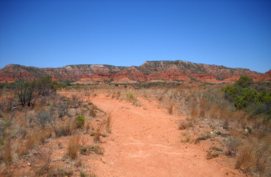
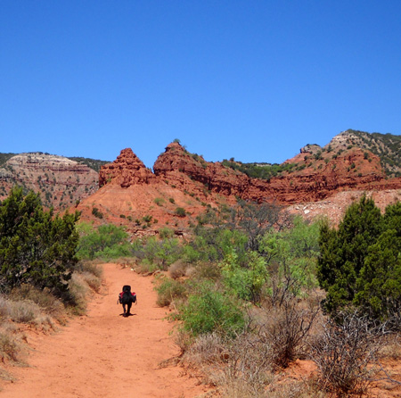
The last half mile of Little Red River/Lower Canyon
Trail F is wider, smoother, and flatter. Going westbound I had scenic
views of all the colorful mountains near the North Prong parking
area:
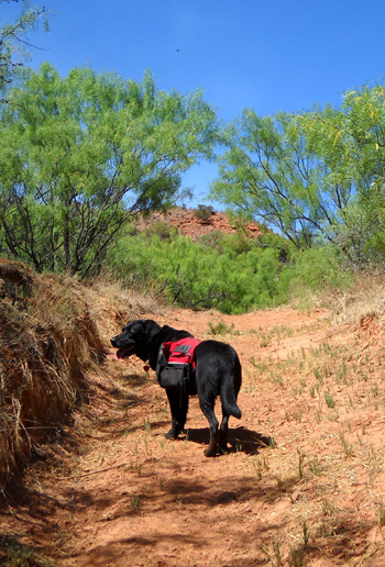
THE NOSE KNOWS
Cody has a fantastic nose. Even on trails that are
completely new to him, he always knows when we're about
Ľ to ˝
mile from
the truck and he surges on ahead, like a man on a mission:
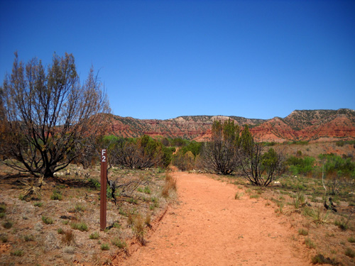
I didn't recognize the rocks from this direction and
didn't realize we were that close to the parking area. I misunderstood the
map and though we had another mile to go. Suddenly we turned a bend .
. . and there was the parking lot!
Cody's nose was right. It always is.
Next entry: a more challenging loop on the western
side of the park
Happy trails,
Sue
"Runtrails & Company" - Sue Norwood, Jim O'Neil,
and Cody the Ultra Lab
Previous
Next
© 2011 Sue Norwood and Jim O'Neil
