For context about the trail loop I'll describe in this entry, here's a mini
version of the park map again:
The Upper Canyon Trail loop is in the upper left corner of the map. Click on this
link for a pdf. version of the map that is large enough to read.
I highlighted the loop in gold and red on this more detailed map section:
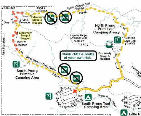
I'll explain more about the red dashes in a minute.
Today I accomplished my goal of hiking clockwise around this 8+-mile
loop, all of which was new to me except a couple miles on the Canyon
Loop Trail (D) and northeastern end of the Upper Canyon Trail (C).
The red X is where I parked.
Since the trail is not a closed loop, I had to walk the last mile on the
park road between the North and South Prong parking areas. The main
reason I chose to go clockwise is that road -- it's more downhill
going west at the end of the hike. I could have parked in either parking lot
and gone either direction on the loop.
I still haven't done the bisecting Haynes Ridge Overlook Trail (Trail
B) but
that's only because I didn't have time this trip. It gives me something
to look forward to the next time we're here! I talked to a hiker who
verified that the views are great along that ridge and the trail is
easy -- once you're up there. It's just very tough getting up and
down at either end.
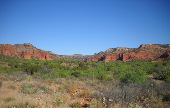
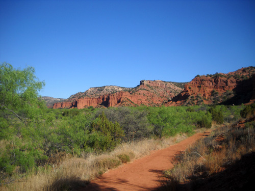
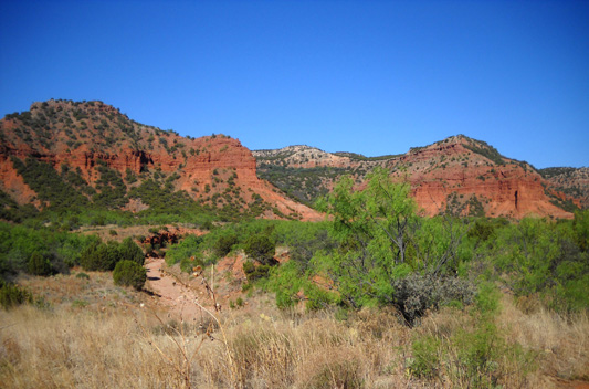
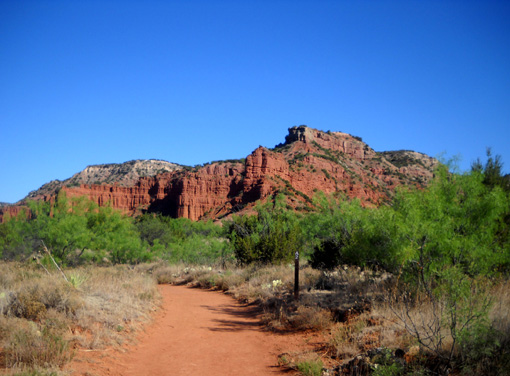
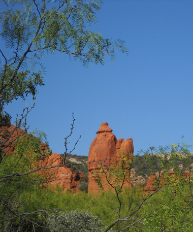
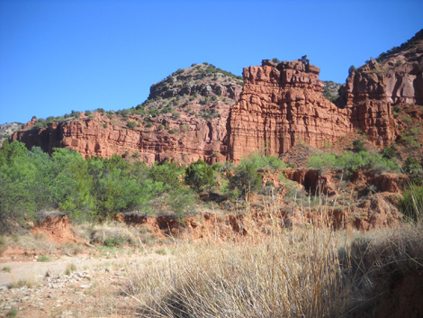
View of the first canyon from the
South Prong parking area. Upper Canyon Trail A
winds 'way back through the
bottomlands below Haynes Ridge, which is to the right.
The Upper Canyon Trail is the most difficult trail in this park.
There are very good reasons why bikes and horses aren't allowed on most of this
loop. That doesn't mean everyone obeys the signs, however.
Note the two places marked "extremely steep and rugged." I
marked the worst parts in red dashes on the loop in the map above.
That warning is
definitely accurate for the section of trail just north of the South
Prong primitive camping area. The section near Fern Cave isn't as
bad. I lucked out choosing the clockwise direction;
it was easier on my knees to go up the steepest and roughest section rather than come
down it.
I had no clue what I was getting myself into when I ventured out on
this trail. I never talked to anyone who was familiar with it. I wasn't sure if Cody or I could get up and down those
two sections safely.
I figured if the first one was too rough for either of us, I'd turn
around and try it from the other direction. That's an advantage
of a loop.
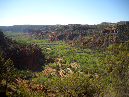
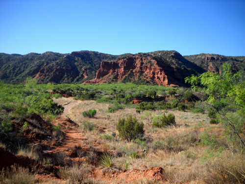
Looking back at the long canyon
through which I hiked. I was part way up the first mountain
marked "extremely steep and
rugged" when I took this photo. Note the trail far below.
Not to worry. The killer climb was a little hairy but we did it! The views
(such as the photo above) were
absolutely worth the work and adrenaline expended. It's one of those
things that's kinda scary when you do it . . . but you can't wait to do
it all over again.
Note: if you have a fear of heights, do NOT do this section of trail
much beyond (north of) the South Prong primitive camping area if you're
going clockwise. If you
come in from the east and north on the Upper Canyon Trail (CCW on the
loop), acrophobia is much less likely -- as long as you turn around
at the Haynes Ridge intersection and go back the way you came. I don't
have a fear of heights but it was still a little freaky on some of the
ledges where the footing was poor.
I took more photos during this hike than I care to admit. In order to
include a fair sampling, this entry is four pages long. Enjoy
the views! Most of the pictures are in chronological order as I hiked
the loop.
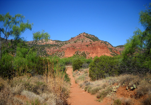
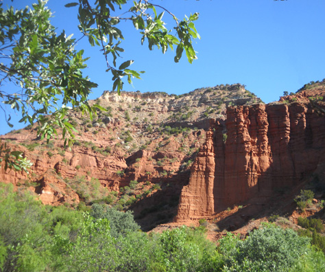
UPPER CANYON TRAIL (A)
I drove to the end of the park road early this morning and left the
truck at the South
Prong tent camping area parking lot. There is a covered interpretive
area here and beautiful views west and north into the canyon:
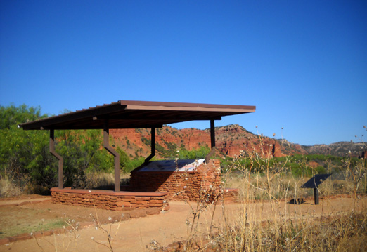
The photo at the top of this entry shows a wide view of the entire
canyon.
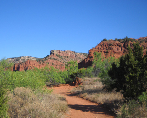
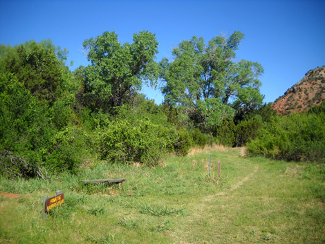
The trailhead is a few yards from the kiosk:
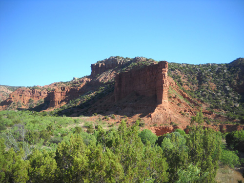
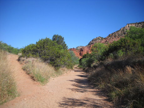
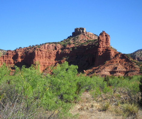
Soon one of the more impressive rock
walls comes into view:
Last year I walked down the trail to this spot, took some pictures,
and turned around for lack of time to explore the canyon. I knew I had
to come back again.
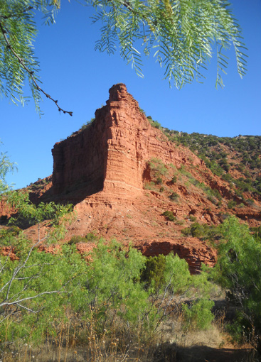
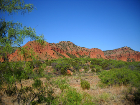
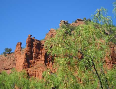
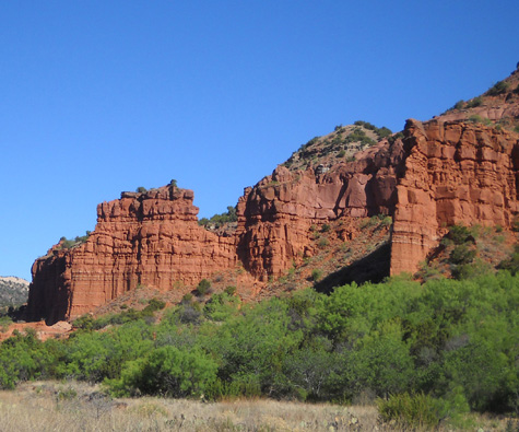
This time I kept on going and was rewarded with one great view after
another. The canyon walls on both sides of the trail fascinated me.
That's why I took so many pictures!
The first 1˝ miles of this trail
undulate in and out of the streams that flow through this canyon. Only
two or three of the creek beds had any water in them this week:
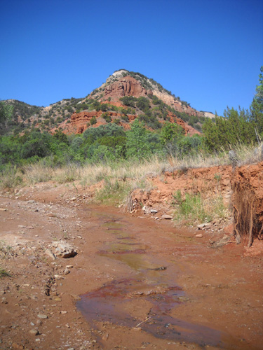
Sometimes the trail follows a stream
bed for a few yards, then climbs back out onto the footpath:
The trail surface is mostly smooth,
wide, and hard-packed. The dry creek beds have more sand and rocks and
are harder to walk through.
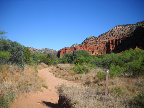
Continuing along the trail northbound . . .
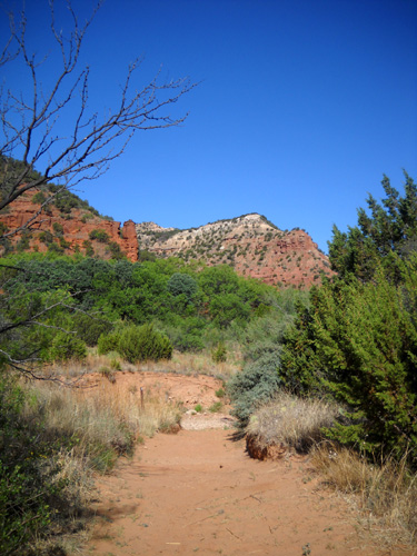
In a little over a mile the trail enters a little green grassy area
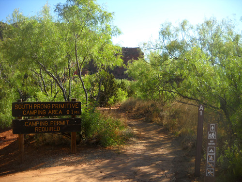
with a side trail to the South Prong primitive camping area:
That's just the first 1Ľ miles of the
Upper Canyon Trail (A). It gets even better the farther you go into the
canyon.
I think this is the prettiest trail in the whole park, and they're all
scenic.
If you have only a limited time in this park, I recommend you choose
this trail through the canyon and back.
Continued on
next page: photos from South Prong
primitive camping area to Haynes Ridge Overlook Trail
Happy trails,
Sue
"Runtrails & Company" - Sue Norwood, Jim O'Neil,
and Cody the Ultra Lab
Previous
Next
© 2011 Sue Norwood and Jim O'Neil
