My intention for this hike was to explore at least one trail that was
new to me. I had two new marked trails left, and several unmarked ones.
All of them require starting on other trails I've already hiked.It
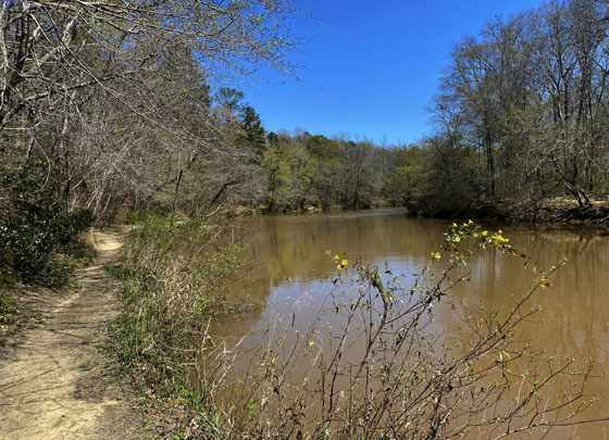
was a beautiful, warm, sunny weekday in late March with more tiny new
leaves on the trees and shrubs than on the previous hike I did in the
park a few weeks earlier. There were even a few flowers blooming here
and there:
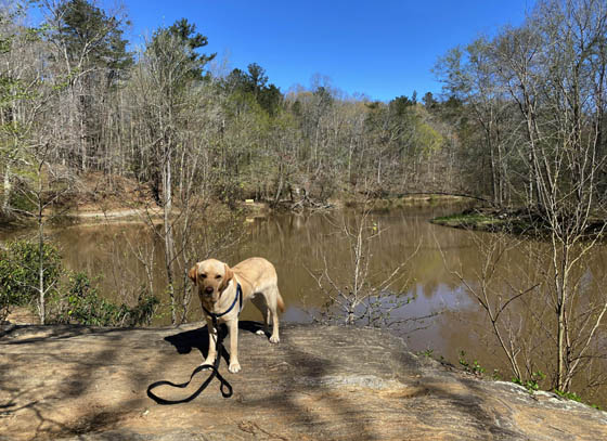
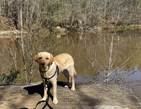
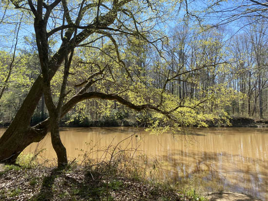
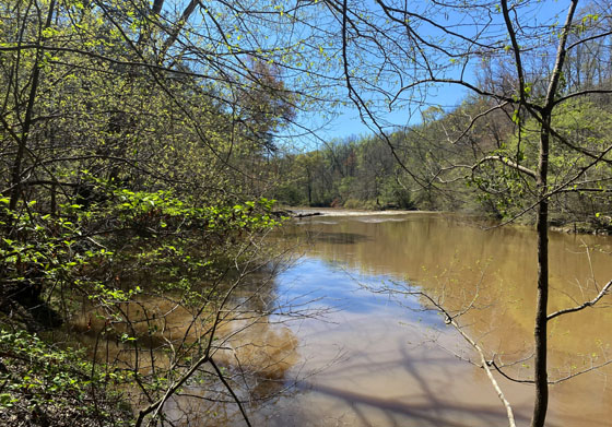
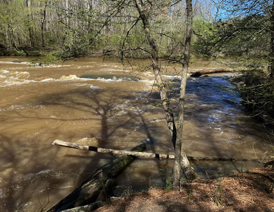
A lot of rain had fallen recently in North Georgia and it had
made its way down to Sweetwater Creek. The creek was running higher,
faster, and more chocolate brown than I'd seen it before.
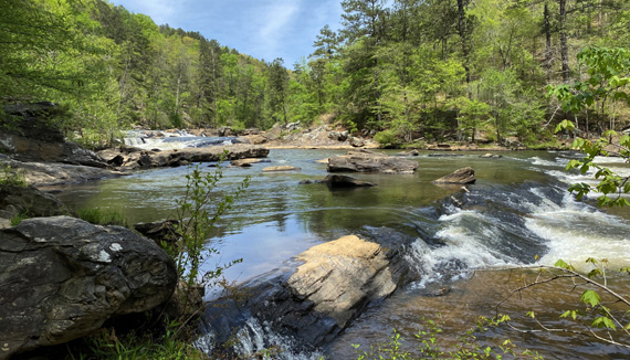
These shoals are visible from the Red Trail, the popular route to the
New Manchester textile mill ruins:
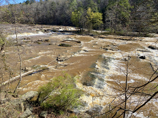
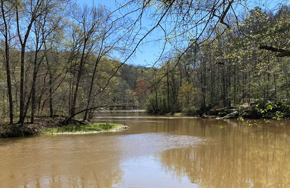
Hmm. High water might cause a problem with my original plan for the day --
to explore the remaining section of the Red Trail that runs next to
the creek south of the New Manchester textile mill ruins for about half
a mile before rejoining the White Trail. Parts of that trail could
possibly be under water or washed out. It happens.
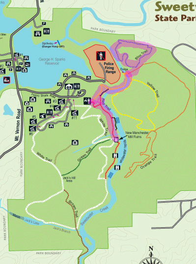
Here's my route for this hike, which I modified after
seeing how high the creek was:
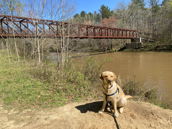
Dapper Don and I began hiking at about 10 AM from the visitor center
and headed south on the Red Trail to the old ruins. Although there were more
vehicles in the parking area than I'd seen before, we saw very few
people on the trails we hiked.
We've been on this trail numerous times but I'll show more photos
from this hike because it's so scenic.
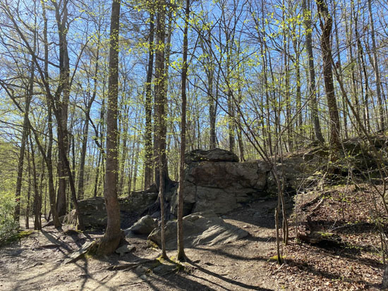
Rock outcropping along the Red
Trail
Narrow mill run leading
downstream toward the old mill; Sweetwater Creek is on the left.
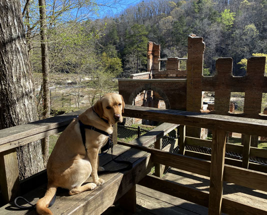
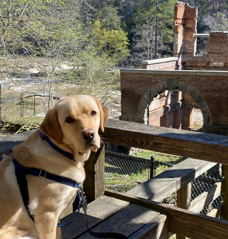
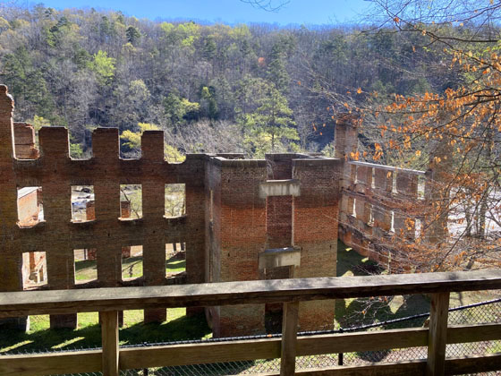
The old mill ruins are fenced off to preserve what's
left of the structure and keep people safe. There are good views of the
building from the trail and several decks.
I don't believe the rangers have resumed guided tours of
the ruins yet. Although the park has been open during the COVID
pandemic, programs like that were suspended. I've read all the
historical signs about the mill and folks who lived in this area at one
time but haven't done that tour yet.
Just past the mill is a very long set of wooden steps that does down
to the creek (and another deck). The Red Trail heads down those steps
and continues downstream right next to the creek:
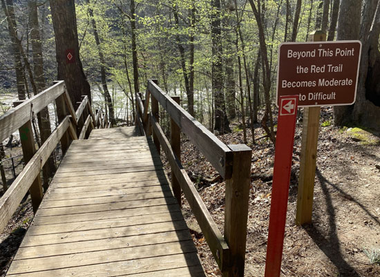
From what I've read and heard, that trail is indeed
"difficult" because of all the rocks. That's why I haven't done it yet!
I don't have as good balance or flexibility as I did when I was younger.
With the creek as high and fast as it was on this day, I
decided to postpone that little adventure to a day when the trail and
rocks would be more dry.
OK, WHAT'S PLAN B?
Plan B was to hike the other marked trail that is new to
me, the Blue Trail Loop. It's on the other side of the creek. I took
these photos after Dapper Don and I turned around and headed back north
on the Red and Yellow Trails to the big bridge:
Above and below: Don on a
rock outcropping along the Red Trail;
the creek looks quite still when
it isn't losing elevation.
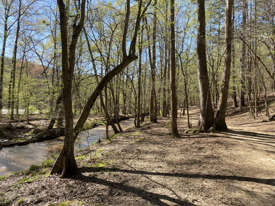
View of creek along the Yellow
Trail; there were more green leaves on this hike.
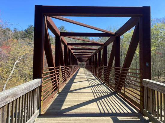
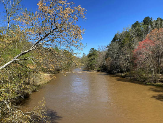
View upstream from the bridge
Once across the bridge, the Orange Trail goes straight
on a wide Jeep road and the Yellow Trail turns right and continues as single track.
On this hike, I followed the Orange Trail up the 4WD road for a few
hundred feet to the sign (below) for the Blue Trail:
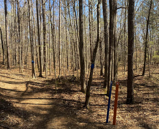
The Blue Trail is rated moderate in difficulty. I considered the mostly-smooth, undulating path
to be rather easy as it wound through the trees for about a mile and a half.
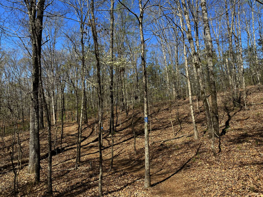
I walked CCW on this hike, continuing uphill through the
forest until the trail peaked about halfway through the loop. I think
that's the more interesting direction because of the nice views ahead as you
approach the creek about halfway through the loop. When the leaves
are out, the views aren't as expansive so maybe the direction wouldn't
matter as much if it's later in the spring and summer.
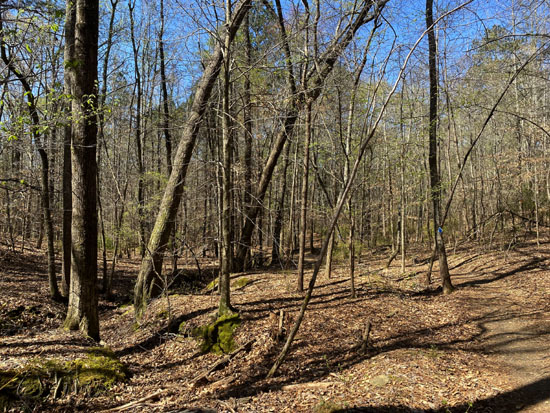
The trail dips down to the creek for a little while,
then heads back uphill until the loop closes near its
intersection with the Orange Trail.
We turned right (west) on the Orange Trail and went back down to and
across the bridge, retracing our steps on the Yellow Trail.
When the Yellow Trail turned west away from the creek, we headed up the
hill to the visitor center and our car.
Scene along the Yellow Trail
Total distance of this pleasant hike was just under five
miles. I'd rate it as easy to moderate, depending on one's fitness
level. I'll do it again someday, probably in conjunction with the Yellow
Trail on that side of the river.
Next entry: the fifth hike in this series at Sweetwater Creek
State Park - White, Green, White, Red Trails in a figure-eight loop
Happy trails,
Sue
"Runtrails & Company" - Sue Norwood, Jim O'Neil,
Casey-Girl, Holly-Holly, & Dapper Don
Previous
Next
© 2021 Sue Norwood and Jim O'Neil