I loved this convoluted hike and will do it again! In the two weeks
since my
previous hike at this park, many new
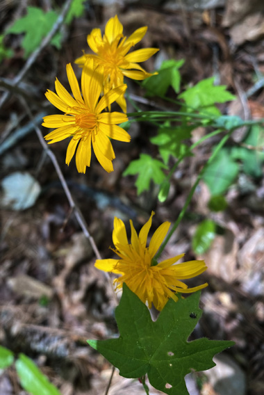
green leaves had sprouted and lots of wildflowers were in bloom.
Although I have hiked all of the White Trail previously, most times it's
been in bits and pieces. On this particular hike in mid-April I was on
about three-fourths of it, plus all of the Green Trail connector and
half of the Red Trail.
There are numerous combinations of trails you can do at Sweetwater
Creek State Park and it's fun to mix and match them.
Intersection of White Trail with
the lower end of the Brown Trail connector
When I did this hike, the only marked trail in the park that I had not
hiked was the southern half of the Red Trail that is right by
the creek. My intention was to do that section near the end of this hike.
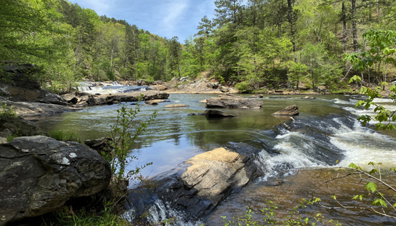
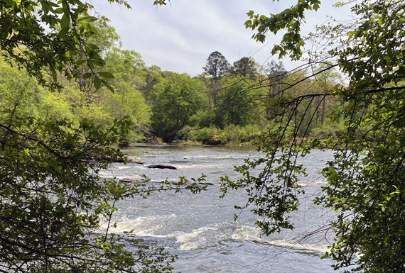
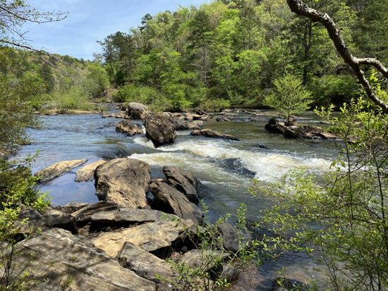
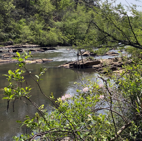
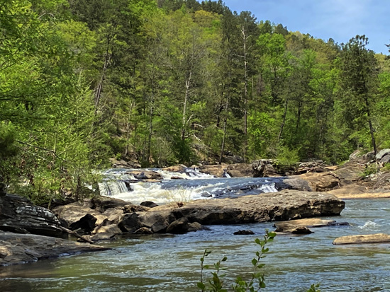
The photo at the top of this and every other 2021 entry page is a
beautiful view of the creek that I took on this hike. Those shoals are
a little below the intersection of the Red and White Trails described in the quote
above.
The weekday morning of this spring hike was drizzly so Dapper Don and
I waited until it cleared up before driving to the park. We got started
hiking about noon. By then the sun was out. Although it was humid, the
high temperature was only about 70 F. so hiking was comfortable.
We saw very few people on the 5.41 mile double loop we hiked,
highlighted in purple below.
A FIGURE-8 ROUTE
Starting from the visitor center, we walked the White Trail down to
the Green Trail (located near the New Manchester Mill ruins), hiked up
the Green Trail (westbound) to the other side of the White Trail at the
Jack's Hill area, and turned left (south) on the White Trail,
going in the opposite direction of the description in the quote at the
beginning of this entry:

We followed the White Trail CCW down to Jack's Lake and along Jack's
Branch to the low point on this hike at Sweetwater Creek.
We continued NE along the creek to the intersection with the lower end
of the Red Trail, decided not to do the rocky "missing section" of the
Red Trail by the creek because I didn't have my trekking pole with me,
and finished the hike on the smooth portion of the Red Trail north of the ruins.
I'll divide the hike into segments and show the remaining photos in the order
I took them.
SOUTH & WEST ON WHITE + GREEN TRAILS TO JACK'S HILL AREA
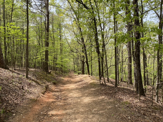
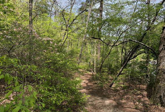
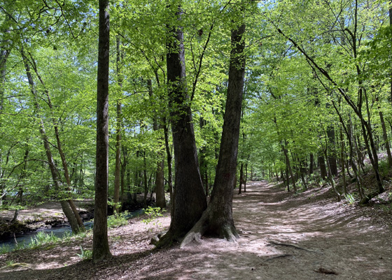
The section of the White Trail that winds south for 1.1 miles toward
the textile mill ruins is all single track. It's a beautiful trail all
times of the year as it undulates through the forest and by little
streams that drain into Sweetwater Creek.
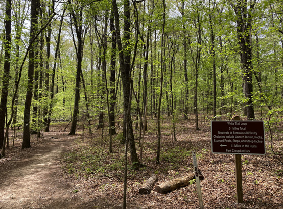
The sign in the next photo says this section is moderate to difficult
terrain, with some rocks, roots, and steps.
For experienced hikers, I'd rate it easy to moderate. I guarantee you
my perspective of trail difficulty has changed with all the trail
running and hiking I've done over the years! This section is easy in
comparison to many parts of the Appalachian Trail, for example.
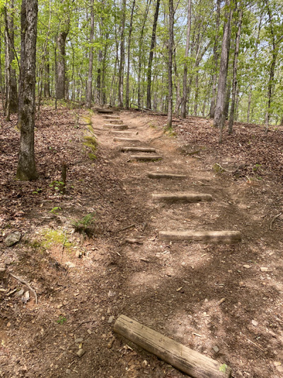
These are more like "water breaks"
than steps.
The White Trail intersects with the low end of the Green
Trail connector a few hundred feet above the wide Red Trail that goes to
the ruins. The intersection below is about 2/10ths of a mile from the
ruins:
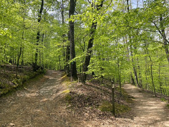
During this hike, I turned right onto the wider Green
Trail and followed it uphill for three-quarters of a mile to the Jack's
Hill Area.
This trail is wide enough for 4WD park trucks to drive,
and relatively smooth dirt and gravel. Except for one short, steep pitch
going in this direction (SW), this trail is relatively easy to hike
uphill or down.
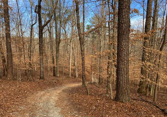
On this mid-April hike when the leaves were coming out I
didn't take any photos of the Green Trail until I was near the top. The
next picture is from late January just to show that steeper incline I
mentioned:
The Green Trail is flatter at the top of Jack's Hill on
the approach to its dead end on the western side of the White Trail loop:
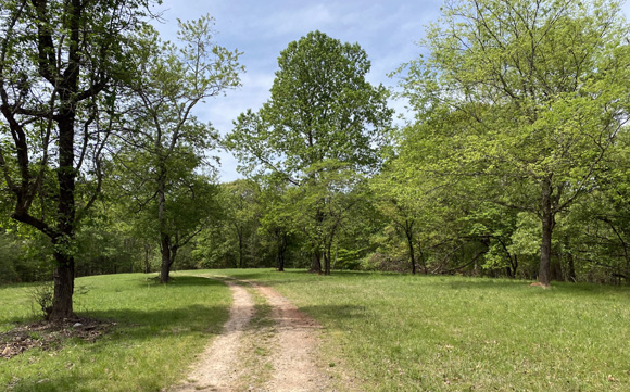
SOUTH ON WHITE TRAIL TO SWEETWATER CREEK
On the western side of the large White Trail loop at
Jack's Hill the path is double-track going south and west for at least a
mile, until the outlet for Jack's Lake.
Dapper Don stands at the intersection of the Green and
White Trails in the next picture:

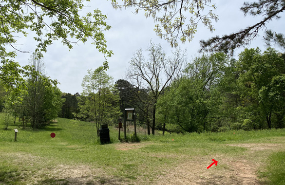
From this intersection the White Trail descends gradually for
about a quarter mile to a four-way intersection at another field.
I continued to the right on the White Trail
(arrow in next photo). The upper end of the Brown Trail Connector is straight
ahead at the brown dot and an unmarked trail is to the left:
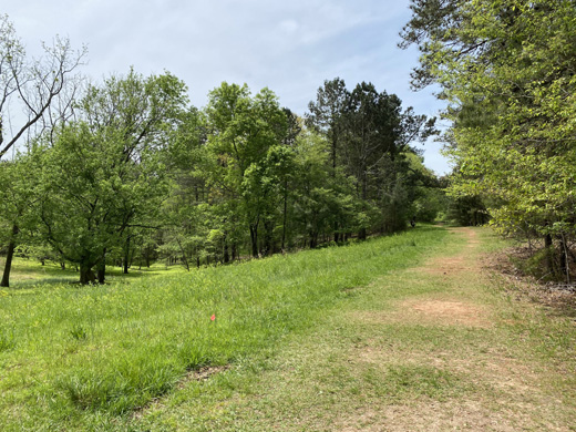
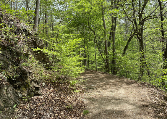
The White Trail continues rather flat for several hundred yards
through grassy areas before descending on a dirt and gravel road through
the forest to Jack's Lake:
Below Jack's Lake the trail takes a sharp left and becomes single-track.
The next quarter mile is beautiful along Jack's Branch but is
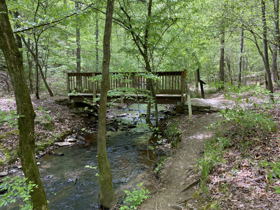
rougher as it descends past the lower Brown Trail
intersection (at the footbridge) close to wide Sweetwater Creek:
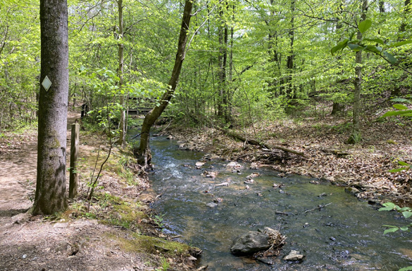
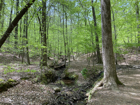
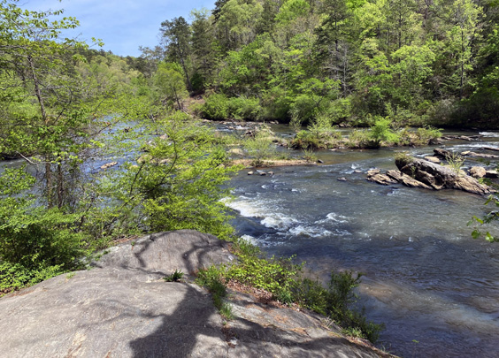
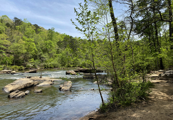
WHITE TRAIL ALONG SWEETWATER CREEK
If you look at the trail map you can see that the White Trail is very close
to the creek for about a mile at the bottom of its big loop until it
intersects with the lower end of the Red Trail.
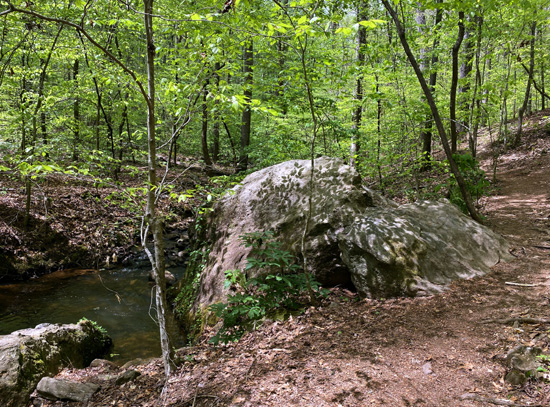
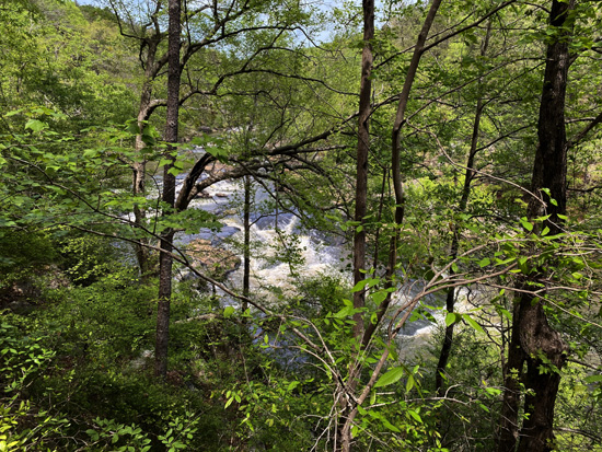
This section is single track and close to the creek. Much of it is relatively
flat and smooth. Some is rougher and there's a rock outcropping that must
be climbed up and down. That's the hardest part of this mile but it's
also quite scenic, with gorgeous creek views.
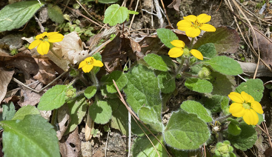
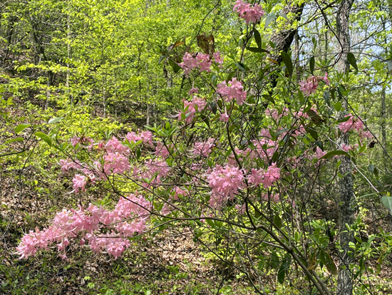
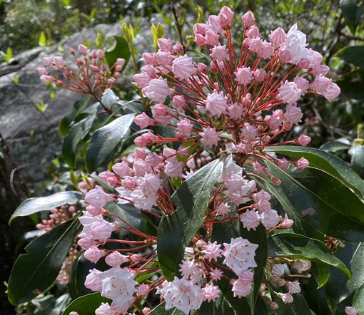
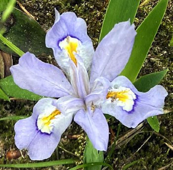
Above and below: in mid-April there were a
lot of mountain laurels in bloom along the creek
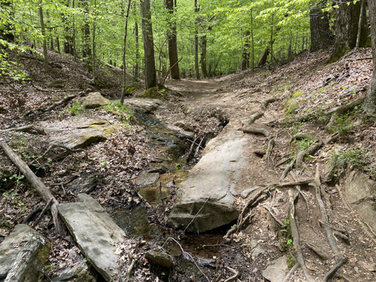
The next three photos are at or near the rock outcropping that I mentioned
where you have to climb up and down large slabs on the trail:
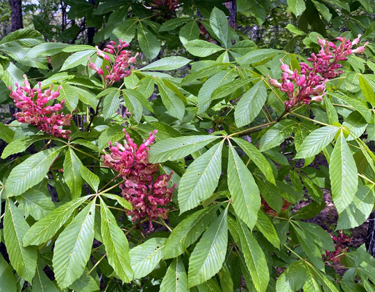
Several rhododendrons were blooming near the rock slabs:
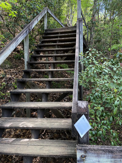
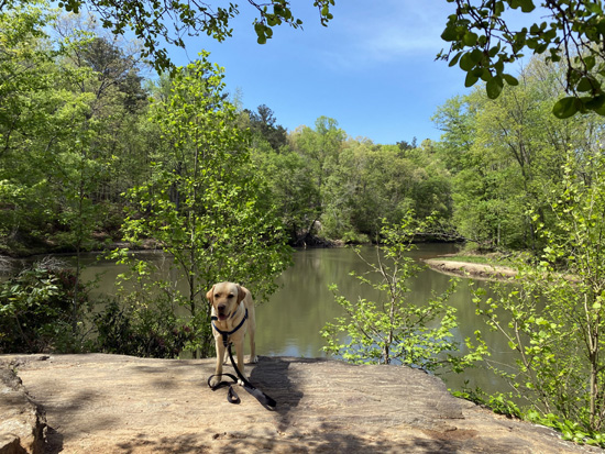
Just before you come to a long set of wooden steps is a flat,
sandy area right by the creek where we let our dogs in the water
to swim. I showed Casey, Don, and our friend's dog Buzzy in the
water in a couple of entries in the 2020 journal.
The next photo looks downstream from that sandy spot:
Upstream from that spot are the pretty shoals in the page header
at the top of this entry and these shoals a little bit farther up:
Next is a long, steep series of wooden steps and bridging overlooking a
rough part of the creek that is hard to see when leaves are
on the trees:
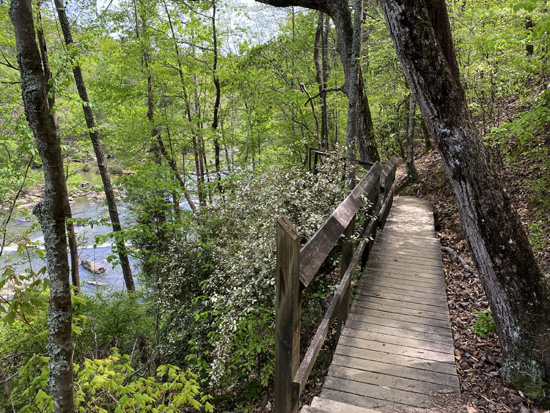
Looking back (downstream) from a part of
the bridging
At the top end of the wooden steps and bridging is the junction
with the southern end of the Red Trail, the one section of marked trail
in the park that I hadn't hiked yet. It has very rough footing.
This day I inadvertently left my trekking pole in the car so I
decided to continue on the much tamer White Trail to the ruins.
WHITE & RED TRAILS BACK TO THE VISITOR CENTER
I didn't take any additional photos of the next approximately
half mile of the White Trail on this hike because I've taken so many before.
It's a beautiful wooded section of relatively smooth trail that
widens as it approaches the ruins. It climbs to about 200 feet above the
creek, then descends a little closer as it merges with the Red Trail
again at the ruins.
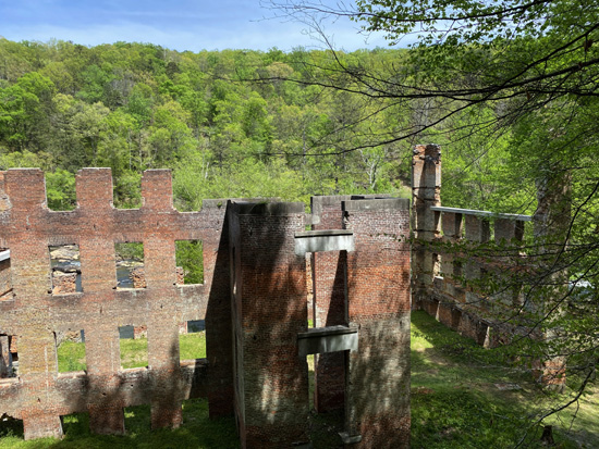
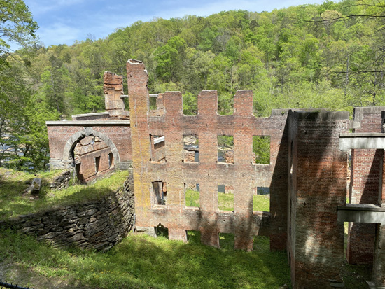
After the ruins, the White Trail goes left and up to the intersection
with the Green Trail. I stayed straight on the Red Trail, heading north
another half mile or more on wide, relatively smooth trail to
the visitor center.
This is the most heavily traveled section of trail in the park
but there were very few people when I was there that weekday afternoon.
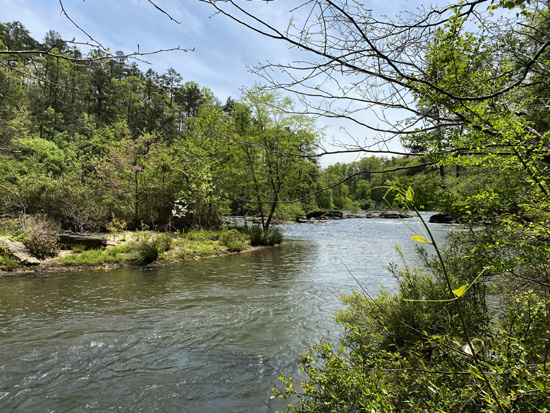
I always like to go off-trail to this rock outcropping between
the ruins and parking area. It overlooks a wide, quiet bend in
the creek where the water looks like it isn't even moving:
Next entry: last hike in this series from
Sweetwater Creek State Park -- finally exploring that
rough section of the Red Trail below the ruins
Happy trails,
Sue
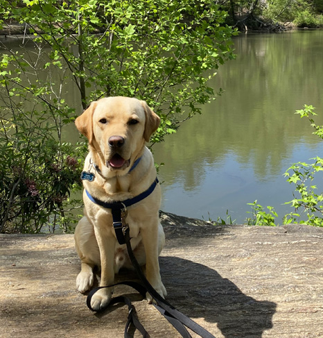
"Runtrails & Company" - Sue Norwood, Jim O'Neil,
Casey-Girl, Holly-Holly, & Dapper Don
Previous
Next
© 2021 Sue Norwood and Jim O'Neil