Today was at least our fourth scenic drive along the western shores of Lake
Mead on Northshore and/or Lakeshore Roads. We've done only sight-seeing
and photography, not any of the other activities mentioned above.
This
map from the National Park Service shows the vast
recreation
area, which lies between Grand Canyon National Park and Las Vegas. It
also extends many miles north and south along the Colorado River:
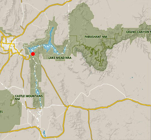
Red dot = Hoover Dam along US 93 at
the NV-AZ state border
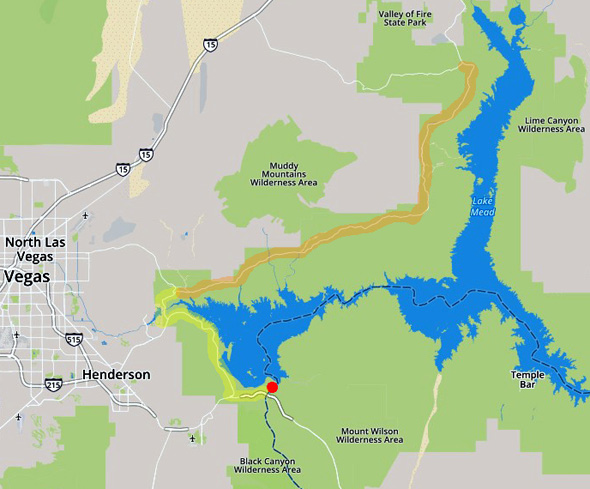
The next more detailed
map shows Northshore Road
(highlighted in orange where we've driven it in 2016 and two days ago) and
Lakeshore Road (highlighted in yellow where we drove it both directions
today):
We've gone down little paved spur roads to the lake twice to see it closer, once to Echo Bay
in 2016 on a big loop on the way back to Nellis AFB after hiking at Valley of Fire
State Park,
Above and below: Lake Mead
(April 9, 2016)
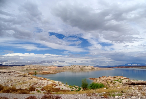
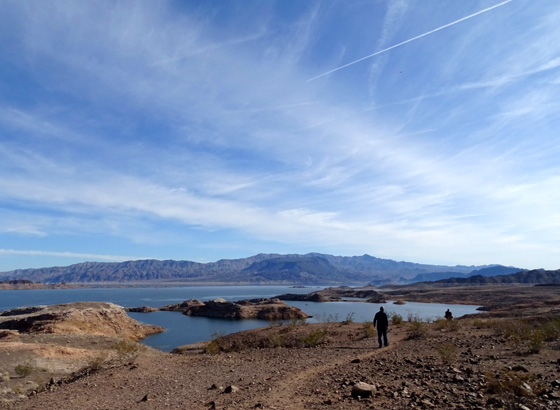
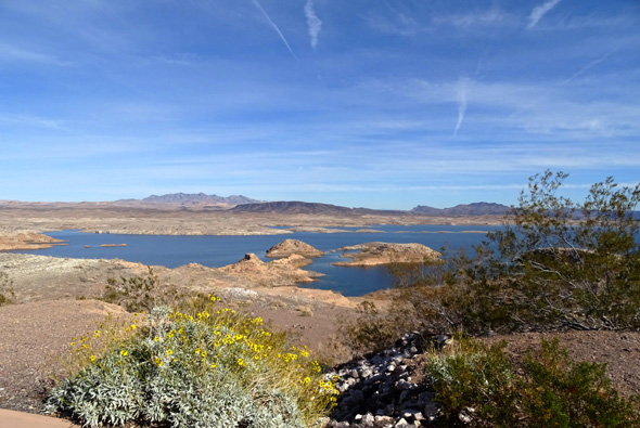
. . . and once today to Sunset Overlook in the southern part of the rec.
area after our visit to Hoover Dam:
Lake Mead from Sunset Overlook (January 11, 2019)
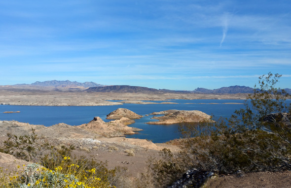
The views of the lake are better along Lakeshore Road than Northshore
Road because Lakeshore is closer to the water. This year was also a
better year to sight-see and take pictures of Lake Mead because the
water was higher than three years ago when we were here.
VISITING LAKE MEAD NATL. REC. AREA
Normally there is a fee to enter this recreation area unless you have
one of the national park passes.
This week, however, is the third week of a
partial government shutdown so no one was manning the entrance gates
either today at the southern end of the lake or on Wednesday when we
drove along Northshore Road after our visit to Valley of Fire State Park.
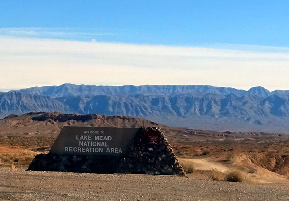
Here is most of the information you need to know about
visiting Lake Mead National Recreation Area.
In this entry I'll show photos I took along Northshore Road two days
ago when we drove it south from Valley of Fire State Park Road to NV
147, and pictures I took today along
Lakeshore Road between NV 147 and US 93 near Hoover Dam.
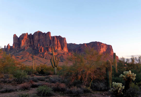
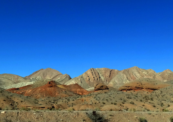
SCENERY ALONG NORTHSHORE RD. 1-9-19
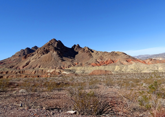
What Northshore Road lacks in water views, it makes up
for in colorful rocks toward the west! You can see gorgeous
landscapes like the ones below from the road without even going on a hike:
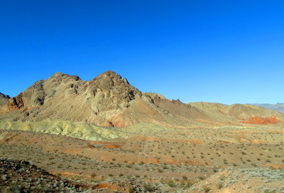
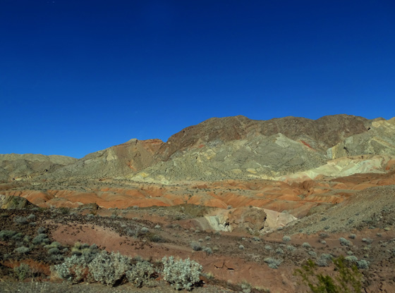
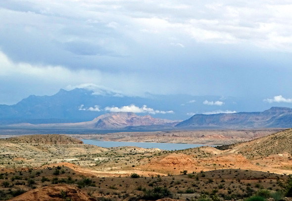
I really enjoyed this week's drive along Northshore Road because the
weather was perfect. When we drove this section of road three years ago
it was overcast and rainy.
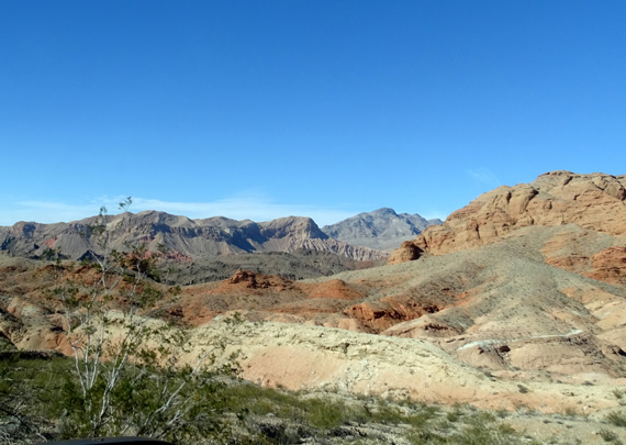
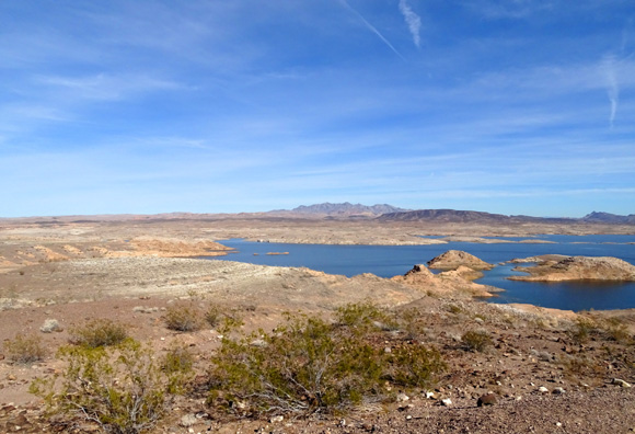
SCENERY ALONG LAKESHORE RD. 1-11-19
If you want more lake views, you'll see them better between NV 147
and US 93 on the southern end of Northshore Road and along Lakeshore
Road. I took these photos today:
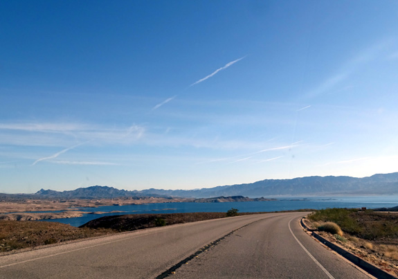
View of Lake Mead as we were
driving east and south this morning to Hoover Dam
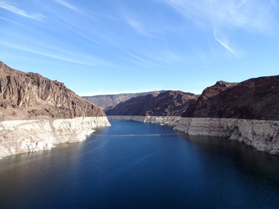
Lake Mead at Hoover Dam
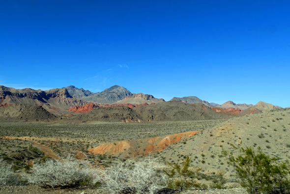
The rest of these pictures were taken about noon on our
way back north along the lake.
A bike path follows the road for several miles, and
various spur roads lead down to scenic overlooks, campgrounds, and boat
docks/launches.
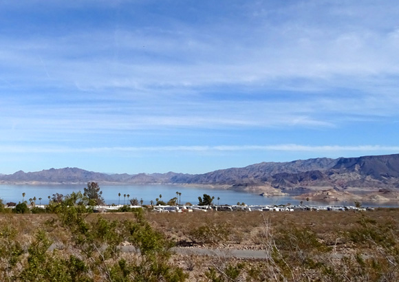
Nice campsites, if you
can get one!
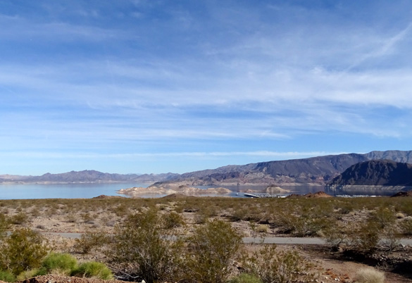
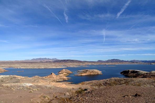
The remaining views are from Sunset Overlook:
Looks like Lake Mead may still be
historically low.
Next entry: back to McDowell Mountain
Regional Park east of metro Phoenix for two weeks
Happy trails,
Sue
"Runtrails & Company" - Sue Norwood, Jim O'Neil,
Casey-Girl, and Holly-Pup
Previous
Next
© 2019 Sue Norwood and Jim O'Neil