|
2015 HIKING, CYCLING, & RV TRAVEL ADVENTURES
Denali
| ||

|
Runtrails' Web Journal
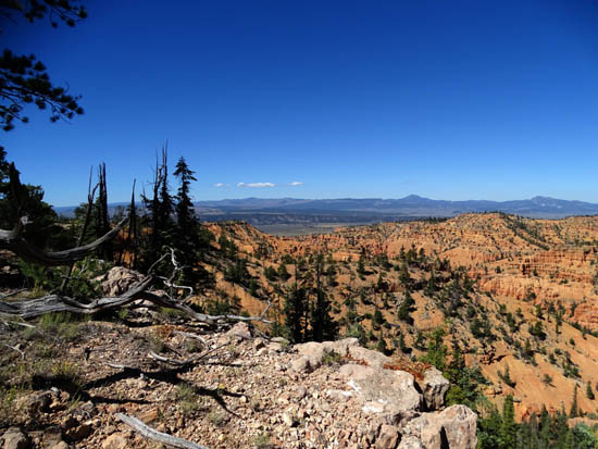
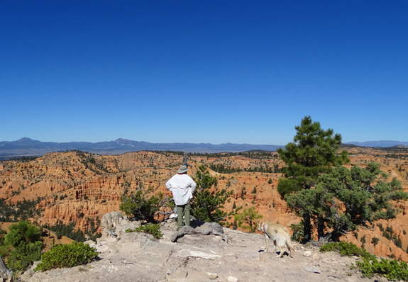
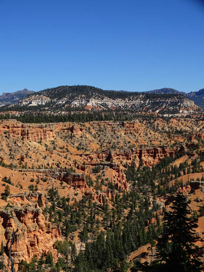
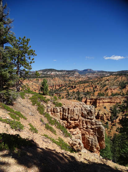
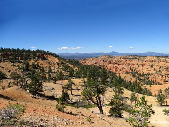
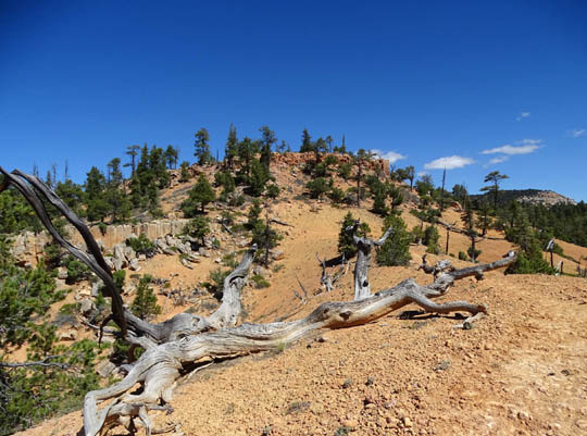
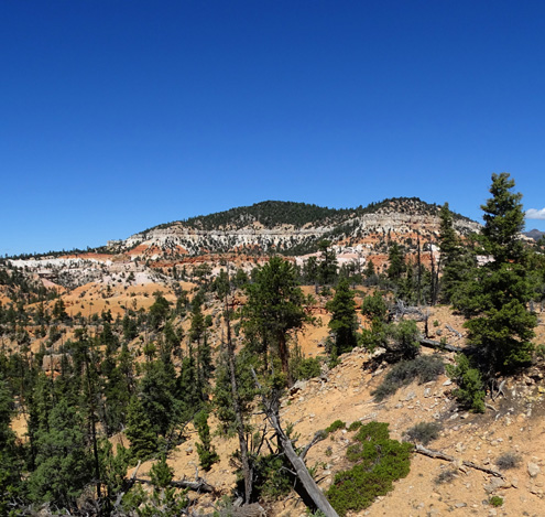
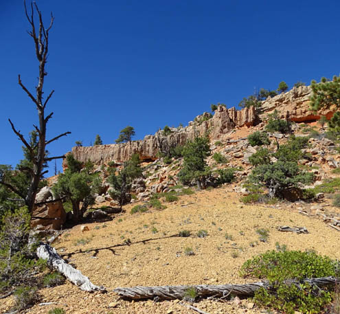
Continued from the previous page. BRAYTON POINT Some of the best views along the Cassidy Trail are from
Brayton Point, a high mesa overlooking Losee Canyon. Like Ledge Point, you can walk very close to the edge of
the cliff on the west, north, and east sides of the wide point and see
for miles in all three directions. The elevation here is about 7,830 feet. I showed one photo from this viewpoint at the beginning
of this entry (first page). Here are some other photos I took from
Brayton Point on both of my hikes:
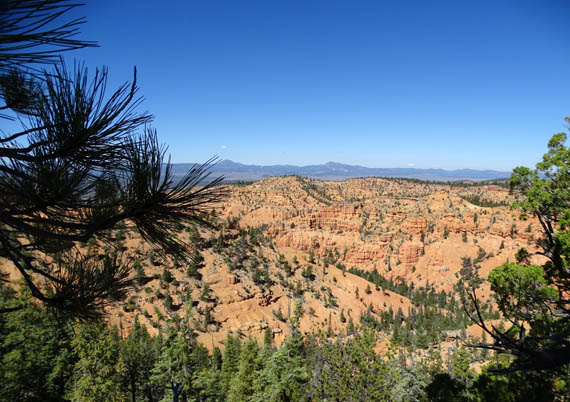
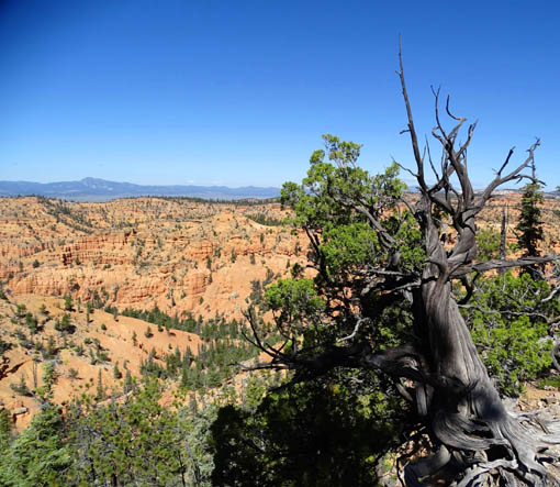
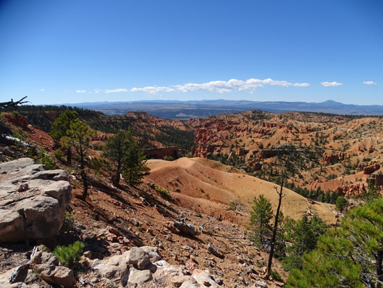
Above and below: views to
the north
Above and below: looking
more down into Losee Canyon
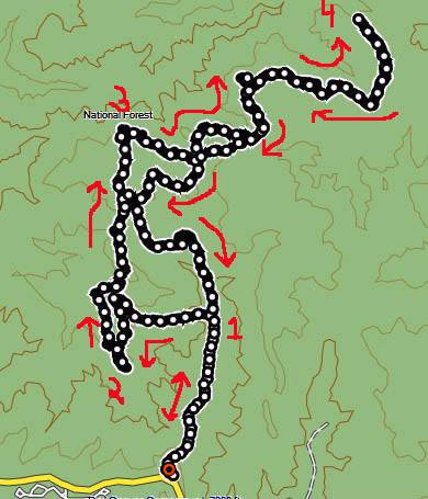
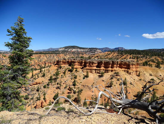
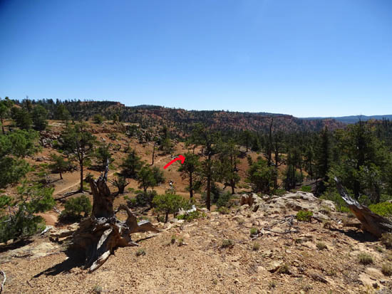
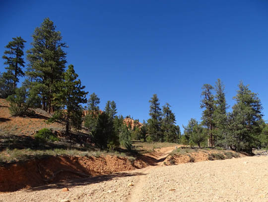
From Brayton Point it's a half mile down to the next
intersection with the Rich Trail. Here are the USAF trail map section
and my GPS track again so you can see where I'm talking about:
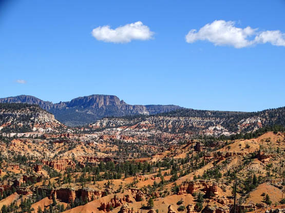
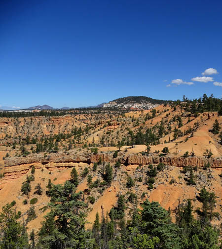
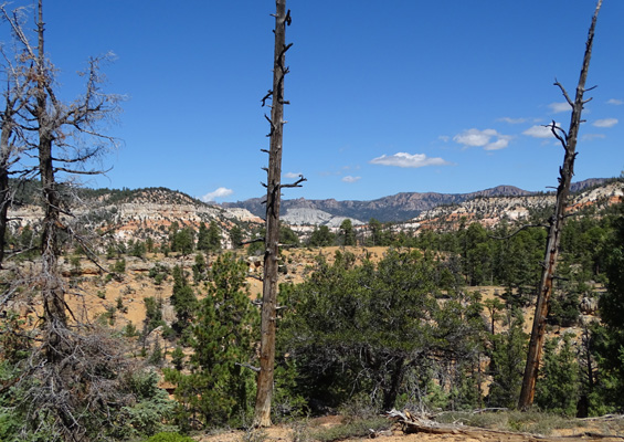
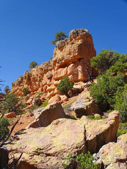
The next three views are from the northeast side of
Brayton Point as I was hiking clockwise around this loop:
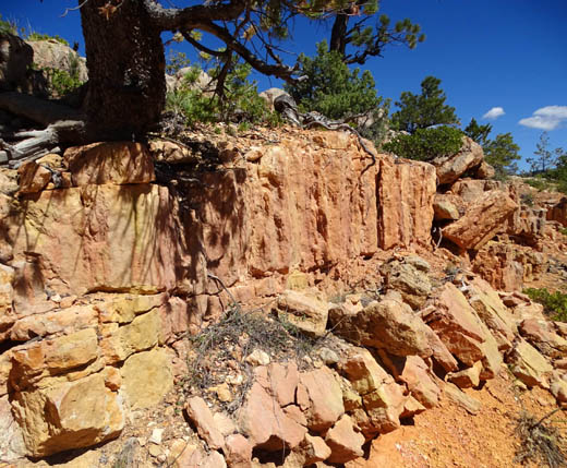
The trail descends steeply past this colorful rock wall to another
intersection with the Rich Trail:
At that intersection I'd gone 3.9 miles. When Jim and Casey hiked with me we turned right on the Cassidy Trail
and stayed on the east side of the loops back to the parking area for a
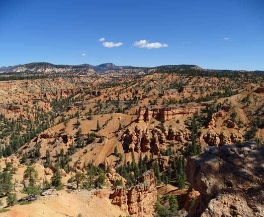
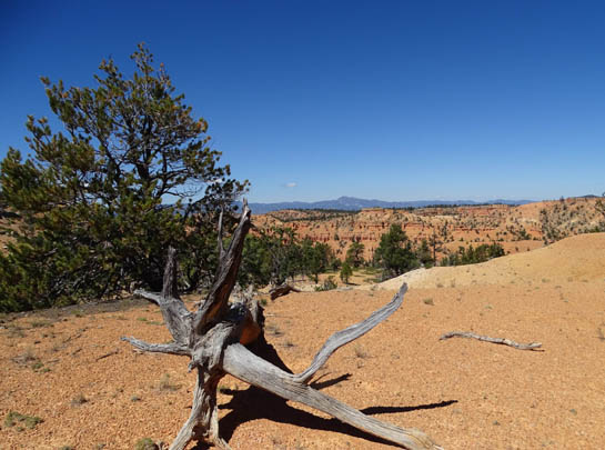
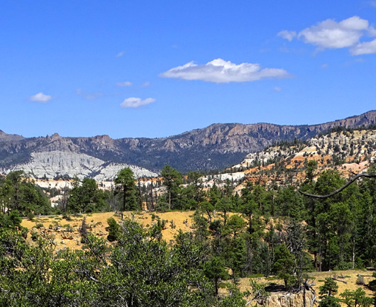
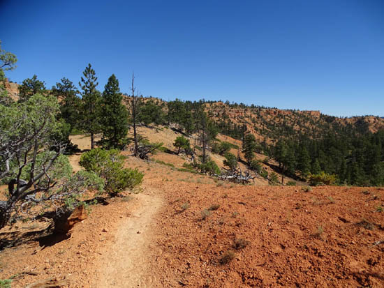
total of 6.3 miles. On my first hike (solo) I continued another half mile north and east
on the Rich Trail around the left side of the fourth and final loop.
This part of the trail goes back up to 7,800+ feet and has excellent
panoramic views:
At 4.4 miles I was at the north end of the Rich Trail
where it intersects again with the Cassidy Trail. The Cassidy Trail continues north for another five or
six miles past the eastern trailheads for Losee and Casto Canyons. I
followed it for another 1.7 miles before turning around. The
trail remained between 7,800 and 7,900 feet until I returned to this
intersection. The next photos are from the Cassidy Trail out and back
from this trail juncture:
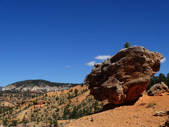
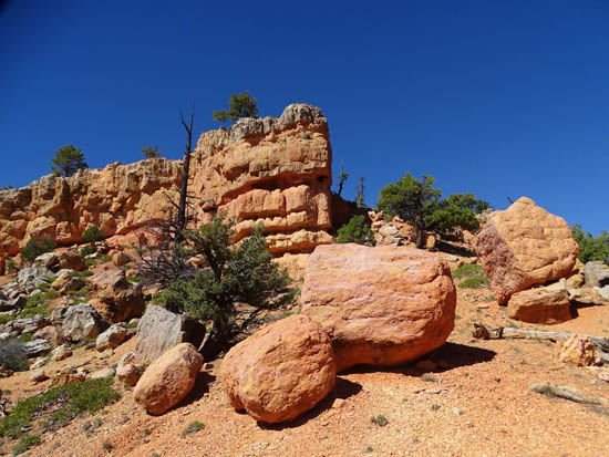
The trail itself wasn't all that interesting so I walked
closer to the edge of the cliff when I began seeing
these colorful rocks in the distance to the north:
From this point I had hiked 7.8 miles and had 2.6 more
to get back to my car at Red Canyon. I stayed on the east side of all
the loops, hiking trail sections that were new to me until I got to the
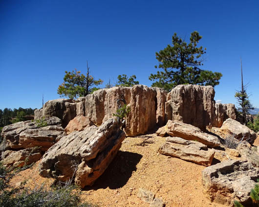
last loop going south. The trail made a net descent but there were still
some small uphill sections. I enjoyed the east sides of the northern loops because
the trail was still high enough to have good views into the distance
and there were some interesting rock formations nearby:
Below those rock formations the trail descends the last
two miles south to Hwy. 12:
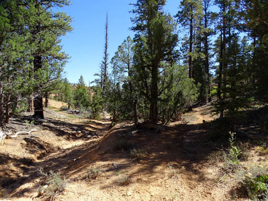
The last part through the canyon next to the wash has
more trees but feels hotter because you can't feel breezes as much. It's
also less scenic with more limited views. At least the trail is fairly smooth:
On this longer hike I had a total of 10.5 miles. Because of
all the photos I took and stops I made, it took nearly five hours. FINAL COMMENTS & WARNINGS I enjoyed all the colorful rocks on these trails and the gnarly,
twisted trees. Very few flowers were in bloom -- yellow
rabbit brush is about all that is left in September and October --
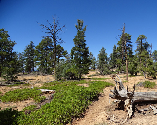
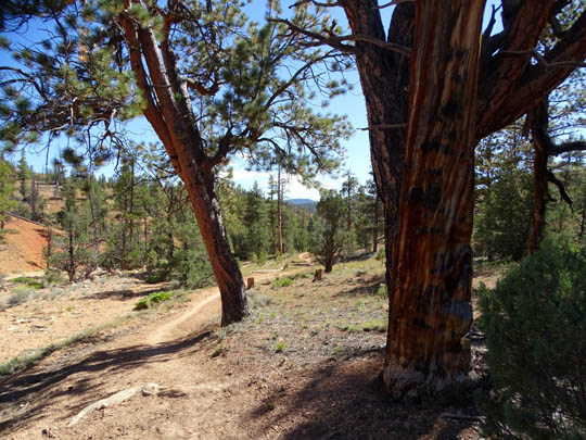
and not many leaves have turned red, orange, or yellow yet. Although all three of these trails have some trees, most of the time you're
exposed to the sun and I didn't see water in any of the washes. As
on any of the longer trails in Red Canyon, carry plenty of fluids for
yourself and any dogs/horses. I don't consider these three trails to be very dog-friendly. In
addition to the lack of water and heat in the canyons, most of the rock
fragments on the trails and in the washes in Red Canyon are sharp,
not smooth and rounded like river rocks. This could be a problem if your
dog isn't used to walking on really rough surfaces. Check your dog's paws after
hiking and attend to any scrapes or cuts.
If you aren't able to hike, run, or ride these trails consider a guided
ATV or horseback ride so you can see these trails close up. There are
businesses in the area that provide these services.
Next entry: I saved our favorite Red Canyon trail
for last in these entries -- Thunder Mountain!
Happy trails,
Sue
© 2015 Sue Norwood and Jim O'Neil |
|||