This entry just happened to land on the actual date Jim did this ride.
I've been organizing our month at Red Canyon in southern Utah's canyon
country by topic rather than chronological dates.We picked a warm, sunny
weekday for Jim's point-to-point ride on Hwy. 143, AKA the "Patchwork Parkway,"
hoping there wouldn't be too much traffic, and there wasn't. The weather
was perfect and even though this "downhill" ride wasn't all downhill,
Jim had fun doing it.
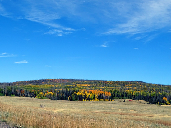
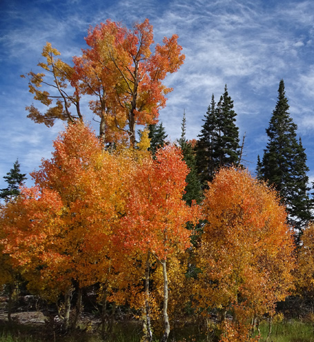
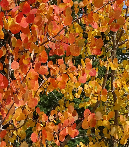
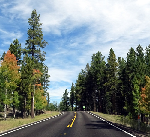
Above and below: Colorful
aspen leaves before their peak along Scenic Byway 14 on the high plateau
We drove a scenic clockwise loop to include our first visit to Cedar
Breaks National Monument and Jim's bike ride.
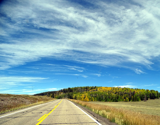
We drove south on US 89 from our campground in Red Canyon, then west on
Scenic Byway 14 to the high Markagunt Plateau. That's a beautiful road
and we had a surprise partway across the plateau when we spotted a flock
of several hundred free-ranging sheep just off the highway:

I'll show more photos of the flock in another entry about
Cedar Breaks. Promise!
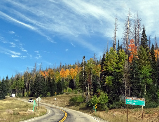
We turned north on
Scenic Byway 148 to Cedar Breaks, which is at a little higher elevation
(about 10,600 feet elevation near the visitor center).
Scenic Byway 148 to Cedar
Breaks
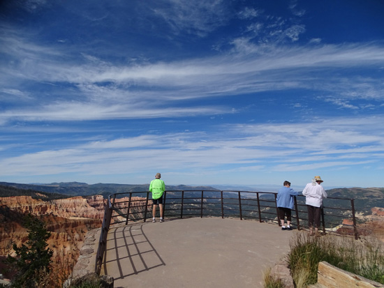
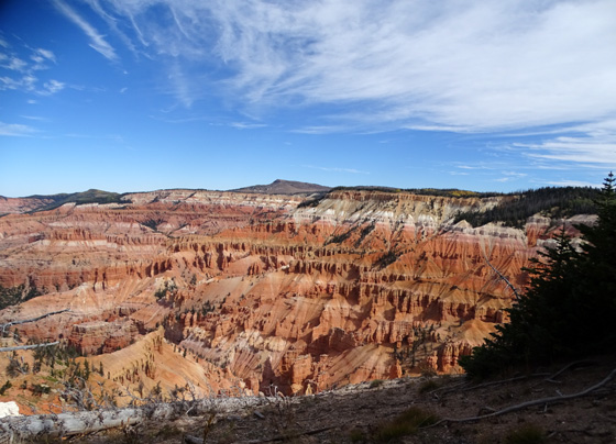
We stopped at the entry pay station and visitor center first, then
looked into the large colorful amphitheater at two overlooks --
Point Supreme and Sunset View.
It does look like a miniature version of Bryce Canyon but doesn't have
near as many hoodoos, windows, or other rock formations. I'll have more
photos of the amphitheater in another entry specifically about Cedar
Breaks:
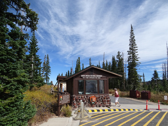
Visitors pass the pay station on the way back to
the visitor center and Point Supreme.
We parked at the intersection of Scenic Byways 148 and 143 a little
farther north in the monument.
Hwy. 143 connects Parowan, a town farther
west in the valley close to I-15, with Brian Head and Panguitch. "Brian
Head" is both a ski town and southern Utah's highest peak at 11,307 feet.
Jim started his ride at that intersection, heading north and east toward
Panquitch on Hwy. 143. I drove a little farther to the North View
Overlook at Cedar Breaks to take more pictures of another part of the
amphitheater, then began following Jim.
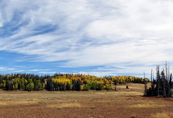
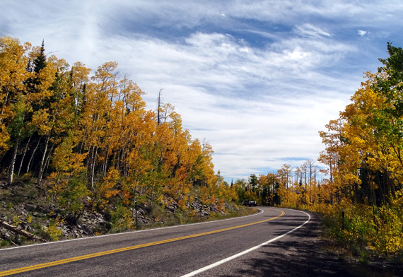
High plateau near the
intersection of Scenic Byways 143 and 148
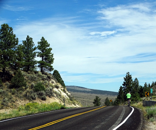
Jim began his ride at 10,560 feet on the north side of Cedar Breaks
and dropped to 6,764 feet in Panguitch, where I picked him up. He rode a
distance of 32 miles in less than two hours. He had 638 feet of
elevation gain and a nice 4,406 feet of loss -- what fun!
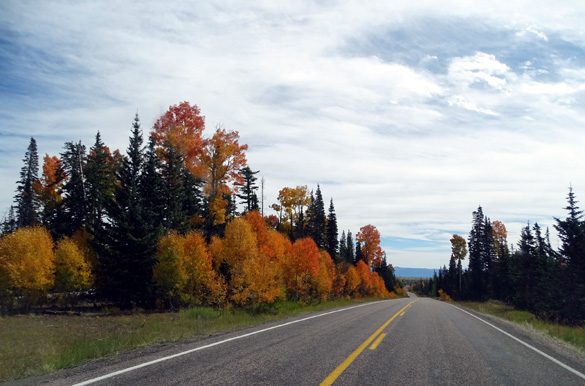
It took me a little while to catch up to him the first time because I
was mesmerized by the bright aspen leaves above 9,000 feet along Hwy.
143. They are at or near peak in some spots so our timing was perfect
today:
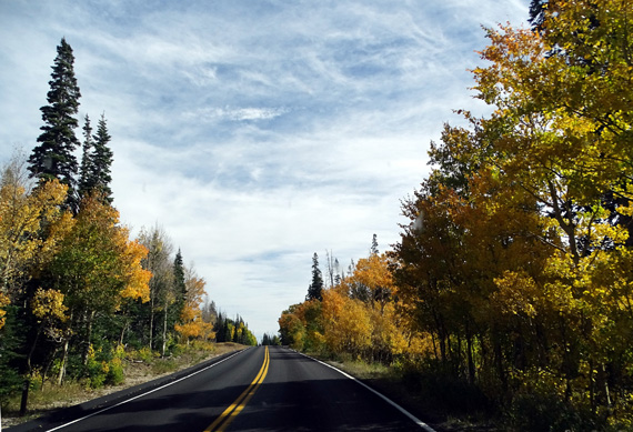
Nice new pavement up here, too!
I caught up to Jim after he'd ridden a few miles and waited down the
road for him at one of the campgrounds near Panguitch Lake. He didn't
really need me to crew for him but Casey loved seeing him coming.
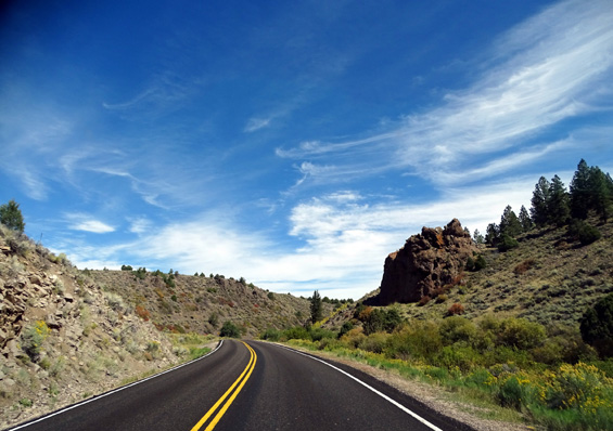
Here are more photos of Jim and the scenery as we headed down to
Panguitch:
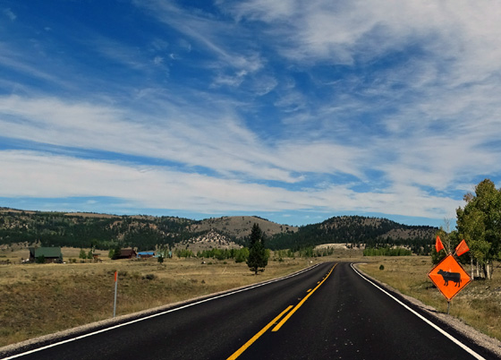
Free-ranging sheep on Hwy. 14,
and potential free-ranging cows on Hwy. 143 . . .
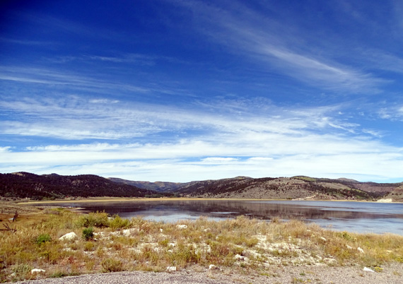
Above and below: pretty
Panguitch Lake
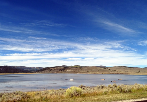
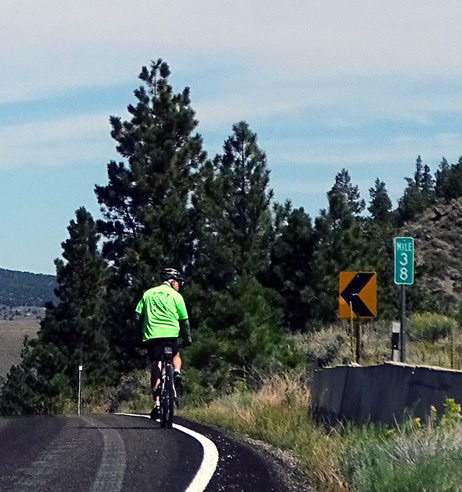
Jim rounds the curve at the end of the lake.
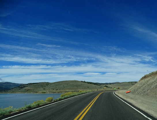
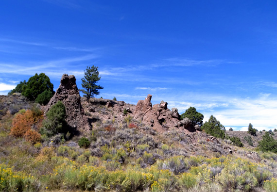
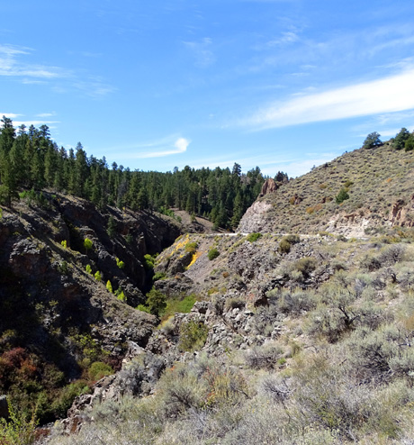
The next pull-off where I stopped to wait for Jim was above a little
canyon farther down the road:
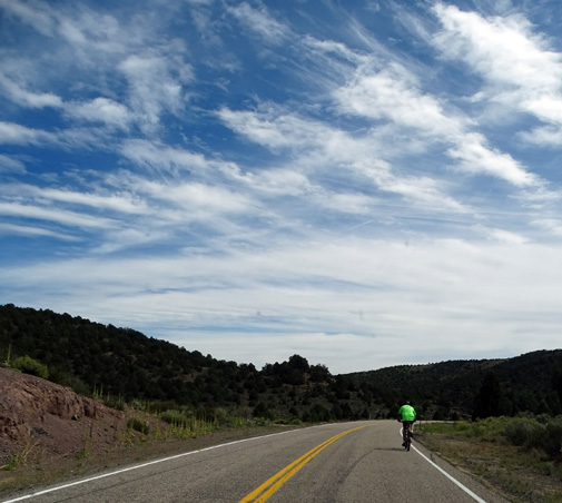
I took the next two pictures of Jim after we talked for
a little bit and he headed downhill. He must have seen or heard
something by the side of the road:

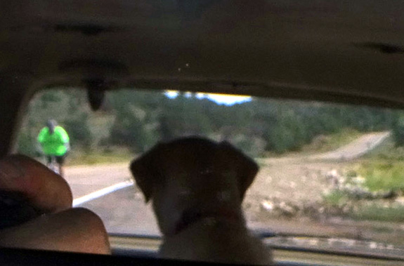
After I passed him again I pulled over at another
pull-off and told Casey in an animated voice, "There's Daddy!"
That always gets her excited. She jumped up on the
back seat and watched him out of the rear window of the minivan as he
approached the car again.
I could see her looking at Jim and got this picture by
pointing the camera at the rearview mirror. I didn't notice my fingers
on the camera were showing in the lower left part of the frame until I
downloaded the photo.
It's a lousy picture -- but priceless. Puppy
love! She wanted to be out there running with him.
One last pass and in a few miles we met at our pre-arranged spot in
Panguitch.
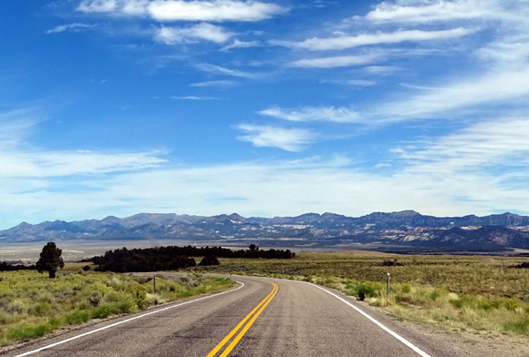
View to the east of the mountains in Red Canyon as
we approached Panguitch
We both had a good time today. Jim enjoyed his ride and
I liked seeing some new territory. I might even try riding my bike on
all or part of this route when we come back to this area in the spring,
or at least the roads through Cedar Breaks National Monument.
We completed the 100-mile driving loop from Panguitch on US 89 back
to UT 12 and our temporary home in Red Canyon.
Next entry: photos from what are probably the four
most popular (and short) hiking trails near the Red Canyon Visitor Center
Happy trails,
Sue
"Runtrails & Company" - Sue Norwood, Jim O'Neil,
Cody the ultra Lab, and Casey-pup
Previous
Next
© 2015 Sue Norwood and Jim O'Neil
