Continued from the previous page.
SUNSET POINT TO SUNRISE POINT
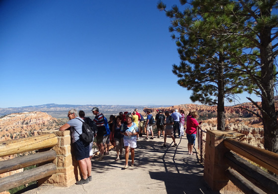
Sunset Point attracts more visitors than any other
observation point in Bryce Canyon National Park.
The parking area is very close to the overlook, all the
tour buses and shuttle buses stop here, rangers give presentations in a
separate sitting area here, and there are great views in three
directions down into the amphitheater.
It's also the trailhead for the most popular trail in
the park, the Navajo Loop, and it's at the southern end of the only
paved part of the Rim Trail.
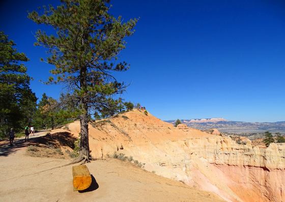
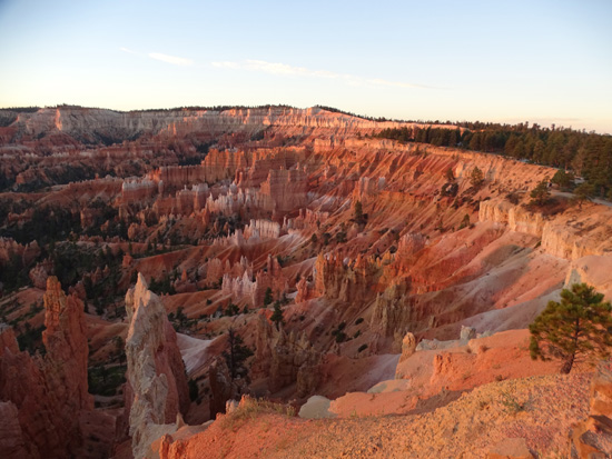
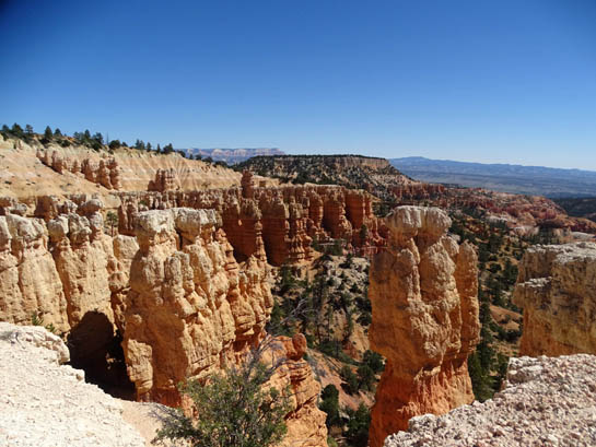
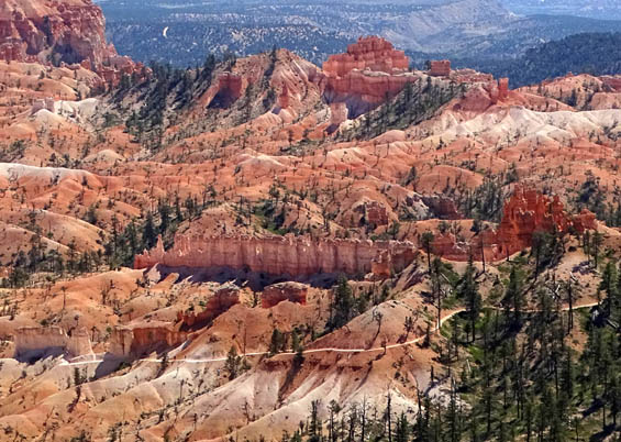
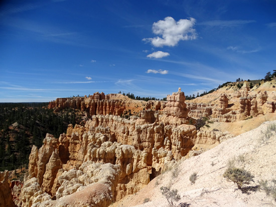
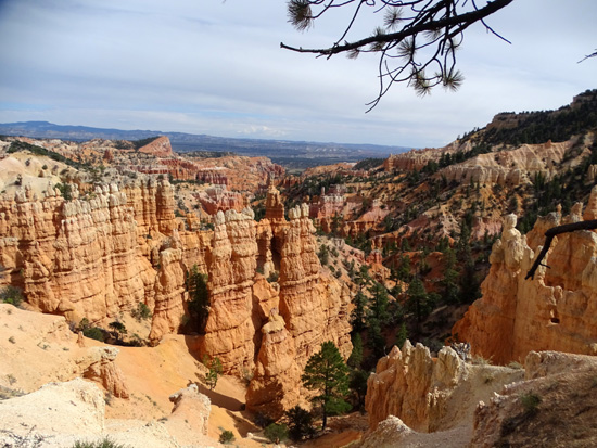
Views south (above) and north (below) from Sunset
Point
You've been warned! If you want to minimize hassles at
this overlook, arrive before 9 AM or after 3 PM in your own vehicle or
use the shuttle buses.
I parked here several times this fall when hiking along
the rim and down into the canyon to reach various trails. When we had
visitors in mid-October we also listened to one of the ranger talks
about the geology of the park.
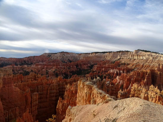
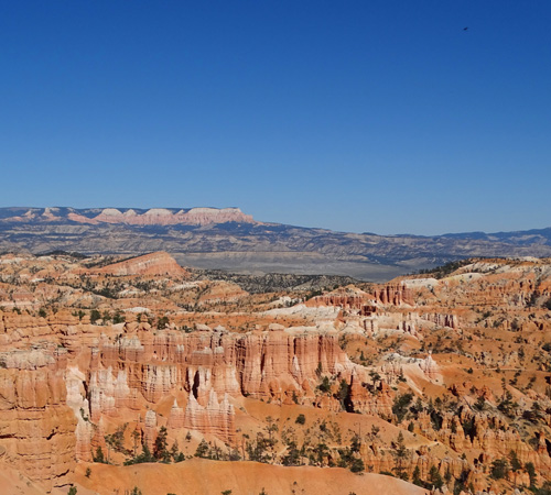
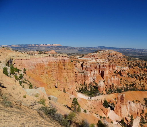
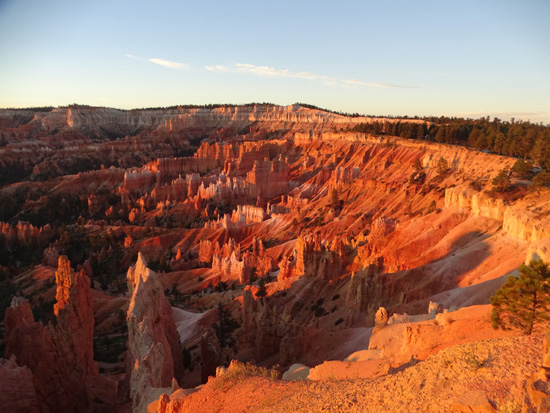
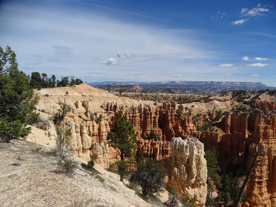
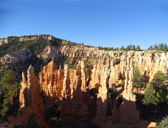
The next photos show views of the Bryce Amphitheater
from Sunset Point and from the Rim Trail going north to Sunrise Point.
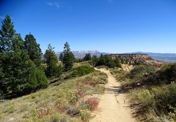
This half-mile portion of the Rim Trail is relatively flat and paved so
it's wheelchair-accessible. Pets can also be walked here.
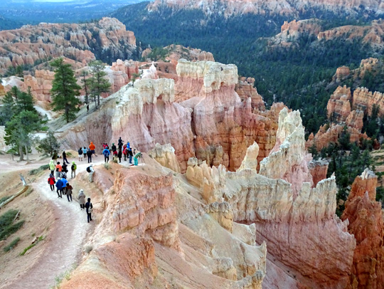
Trail switch-backing down on the
Twin Bridges side of the Navajo Loop
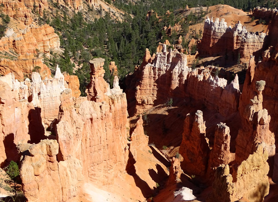
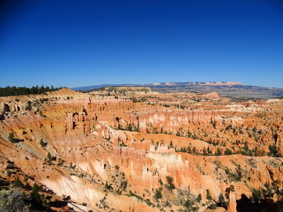
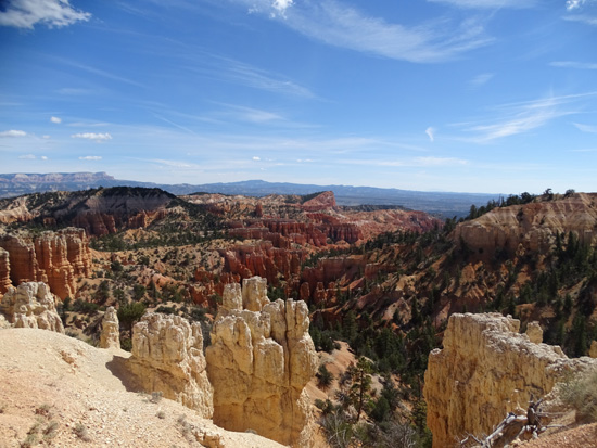
Looking east toward the Queen's
Garden, Sinking Ship, and the Aquarius Plateau
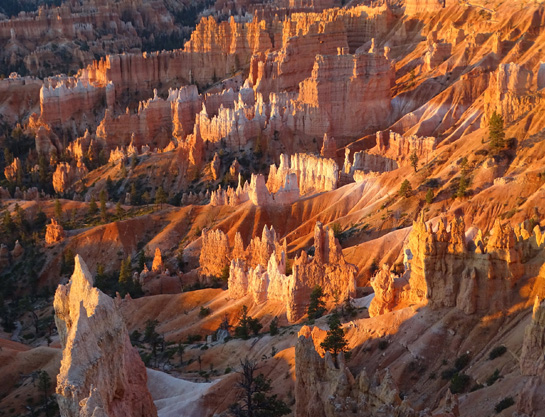
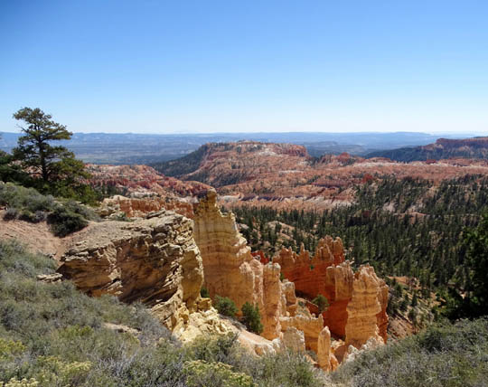
The northern end of Bryce
Amphitheater is very colorful below the rim.
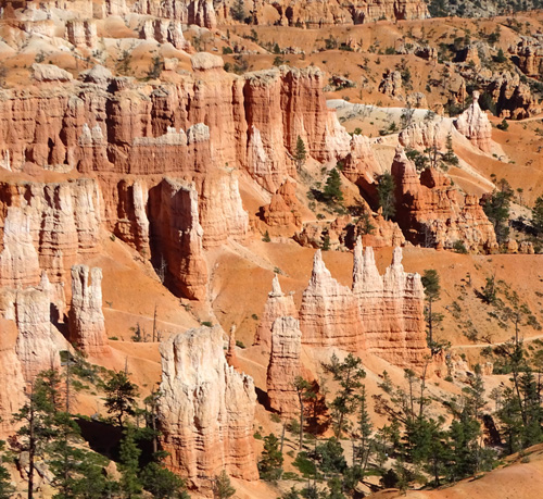
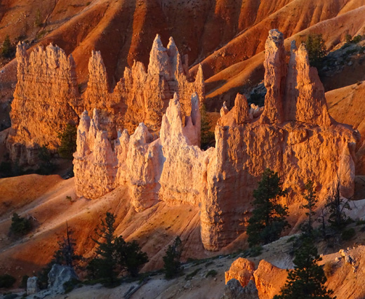
You can see portions of the
Queen's Garden Trail in this closeup.
There are several log benches
along this section of the trail.
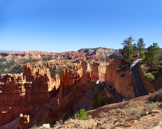
A spur trail ascends to Sunrise Point; the Rim
Trail continues more flat and to the left.
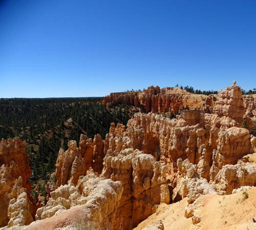
SUNRISE POINT
Sunrise Point is probably the second most-visited
overlook above Bryce Amphitheater. Although it is a farther walk from the
parking area it is close to the popular Queen's Garden trailhead and both amateur and
professional photographers love to see the sunrise from here:
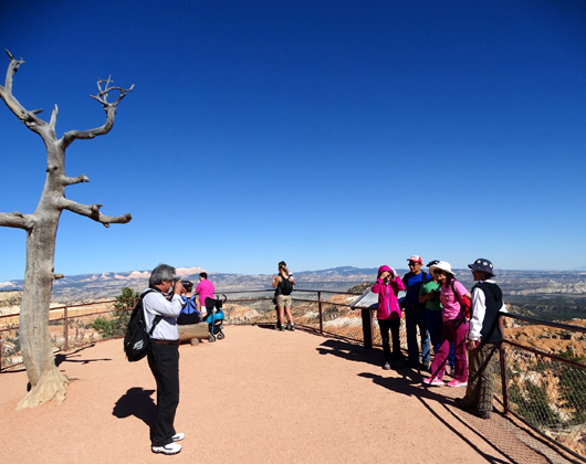
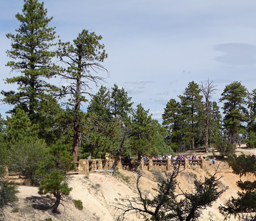
Sunrise Point overlook on a sunny
afternoon -- smile for the camera!
I took the next set of photos at sunrise on a chilly
morning in October:
Photographers on the Queen's
Garden Trail below
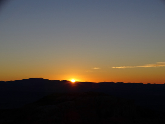
Sunrise Point waiting for the sun
to come up
Above and below: watching
the Bryce Amphitheater light up in the early morning
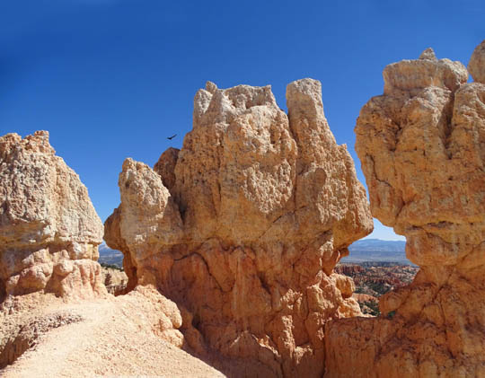
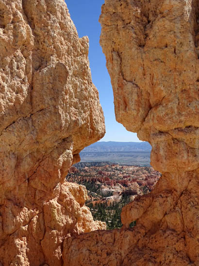
Above and below: close-ups
of rock formations as the sun rises
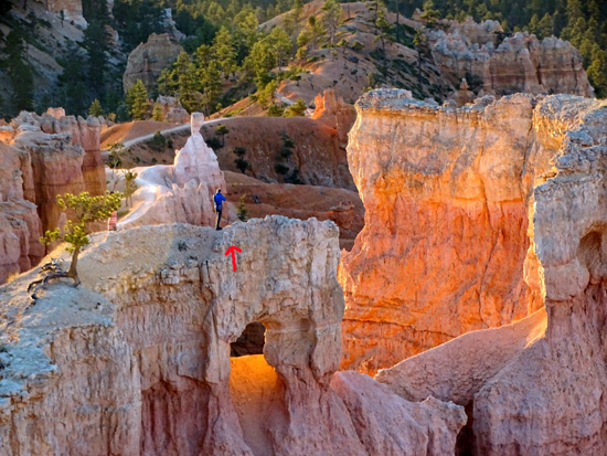
Precarious vantage point for
sunrise pictures!
If you can be in the park for several days it's interesting to see the
various amphitheaters and rock formations at different times of day. The
lighting is constantly changing.
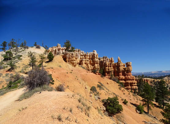
SUNRISE POINT TO FAIRYLAND POINT
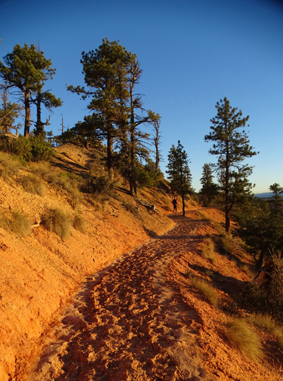
The next photos show scenes from the Rim Trail going north from Sunrise
Point to Fairyland Point, a distance of about three miles.
I hiked this section of the Rim Trail three times, including once with
Jim, when I did the Fairyland Trail loop. Like other photo sequences in
this entry, these photos are from different days and different
times of day:
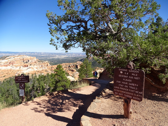
The Queen's Garden trailhead is adjacent to the
Sunrise Point overlook.
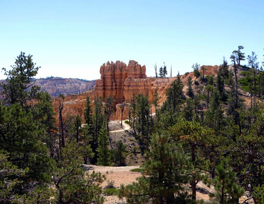
Bristlecone Point
The trails at Bryce can get pretty rough and hard
after it rains.
I took this picture soon after sunrise
→ more
intense color.
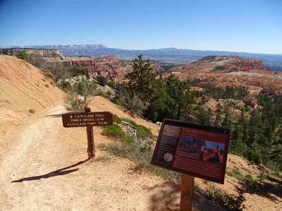
Intersection with the south end
of the Fairyland Trail loop
Looking back at the trail
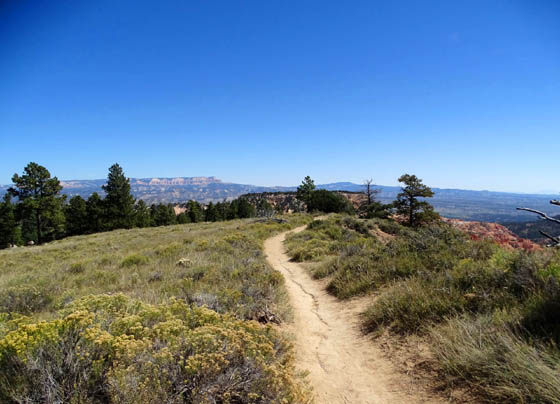
High point on the rim between
Sunrise Point and Fairyland Point
View down to part of the
Fairyland loop trail; "China Wall" formation in center of photo
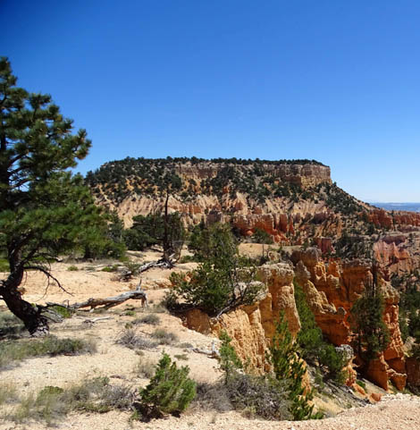
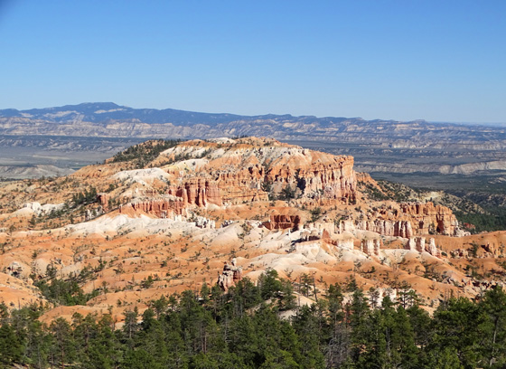
Boat Mesa
The next four photos are from the Rim Trail at or near
Fairyland Point:
Continued on the next page: scenes from the
other ten overlooks along the park road
Happy trails,
Sue
"Runtrails & Company" - Sue Norwood, Jim O'Neil,
Cody the ultra Lab, and Casey-pup
Previous
Next
© 2015 Sue Norwood and Jim O'Neil
