Continued from the previous page. OVERLOOKS ALONG THE
SOUTHERN SCENIC DRIVE
The park road continues another 15 miles south of Inspiration and
Bryce Points, the last stops for the shuttle bus. There are another ten
paved overlooks along the road. Several have more primitive, single-track trails
that allow access down into the wilderness areas of the park.
You have to drive your own vehicle along this portion of the road but
it's definitely less crowded than the main Bryce Amphitheater section of the
park near the entrance.
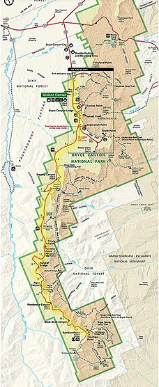
Here's the whole park map again. See the park
website for a readable version. The
park road is highlighted in yellow:
Although the parking is limited at some of the overlooks you
can usually find a spot fairly easily.
Most people get out to take a couple quick pictures and then leave
for the next overlook. The trails aren't as busy, either. Fewer folks
hike these trails than the ones closer to the entrance because they
are more remote, more primitive, and the views aren't as dramatic.
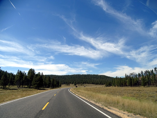
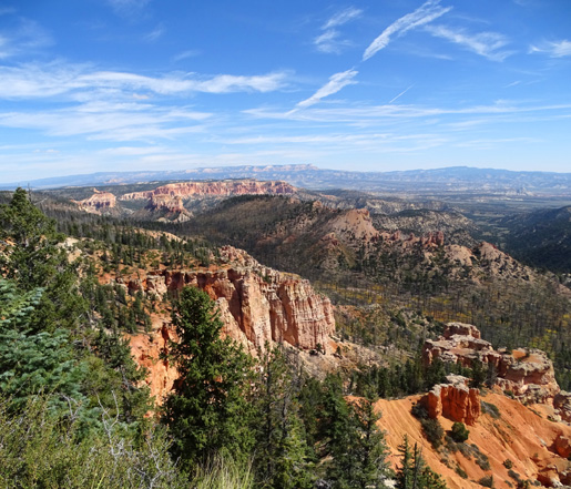
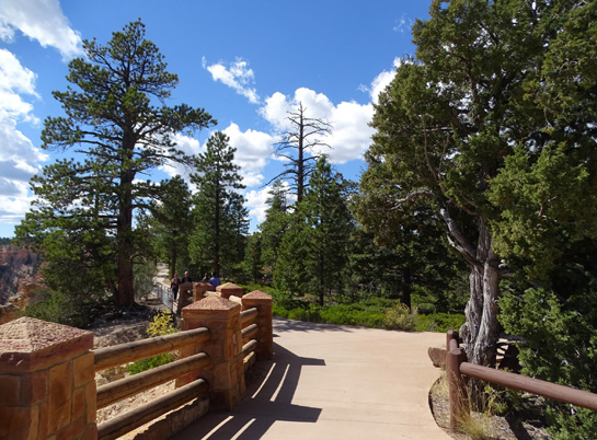
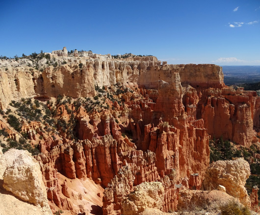
Southern Scenic Drive at about
MM4
Following are some photos from these more remote overlooks, starting at
the far end of the road. Since parking is on the rim side of the
road, it's easier to get into and out of the parking areas if you work
your way north.
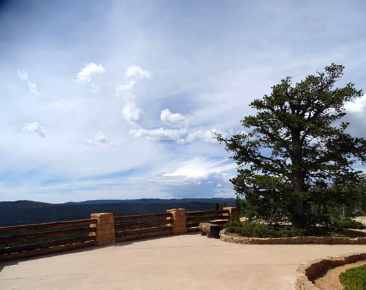
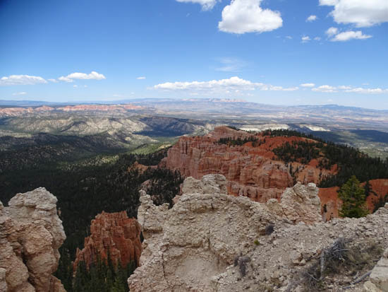
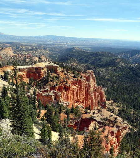
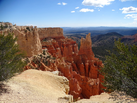
Yovimpa and Rainbow Points are literally at the end of
the park road, 18 miles from the park entrance gate.
There is a short walk to Yovimpa Point, which faces canyon views to
the south and east:
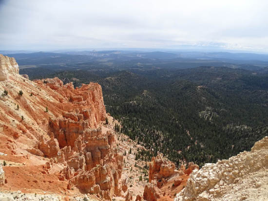
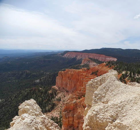
Rainbow Point (9,115 feet elevation, about the highest in the park)
has expansive views to the north and east:
Several trails access the southern end of the park from these points.
The Under-the-Rim Trail goes north from Rainbow Point for more than 20
miles to Bryce Point and includes several back-country camping sites.
The Riggs Spring Loop Trail accesses Yovimpa Pass and several hollows.
The Bristlecone Loop Trail is just a mile long and is listed as an
easy hike. The trail stays up on the plateau as it winds past ancient
bristlecone pine trees. It has some views down into the canyon and beyond.
I didn't hike any of those trails in this area until 2016 so I don't have photos
from them for this entry.
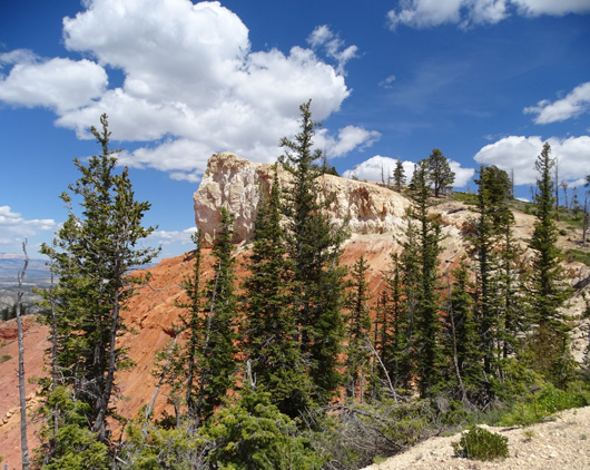
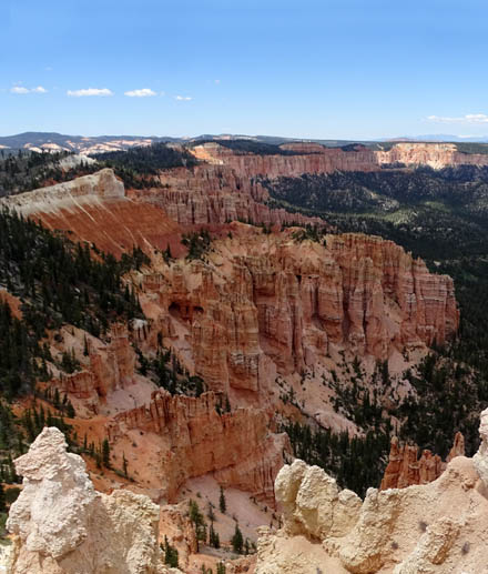
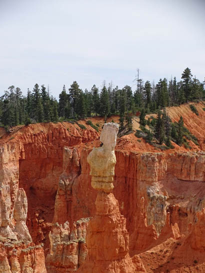
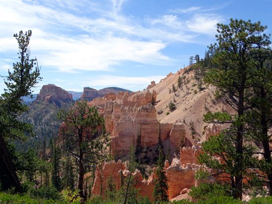
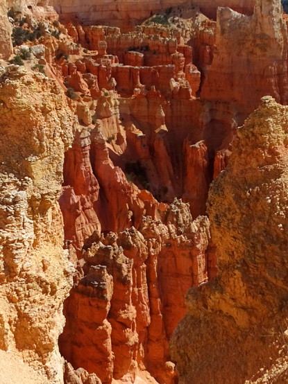
Interesting rock formation along
the road between Rainbow Point and Black Birch Canyon
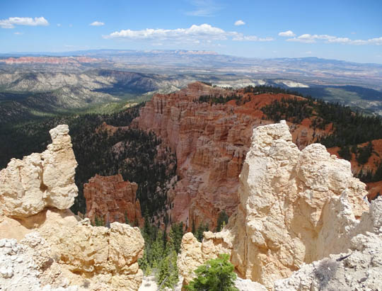
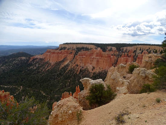
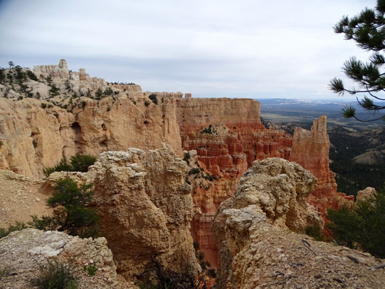
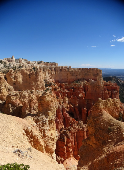
Black Birch (8,750 feet elevation), Ponderosa (8,904
feet elevation), and Agua Canyons (8,800 elevation)
are the next three overlooks heading north. All these parking areas are
right next to the edge of the rim.
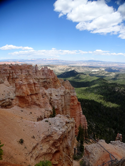
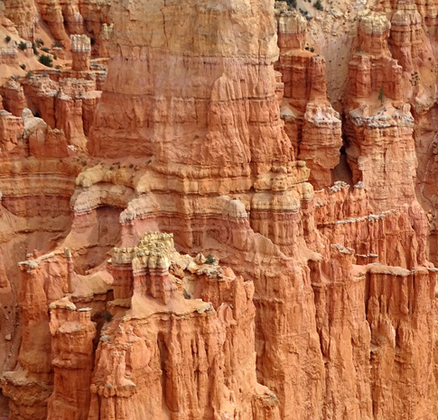
Above and below: views from
Black Birch Canyon overlook
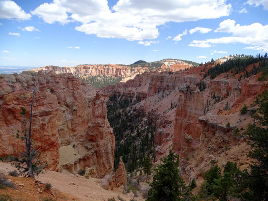
Above and below: views of Ponderosa Canyon
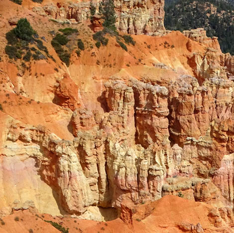
Another view from the Ponderosa
Canyon overlook
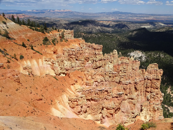
Above and two photos below: views
from Agua Canyon overlook
The Agua Canyon Connecting Trail goes down from Ponderosa Canyon to
the Under-the-Rim Trail.
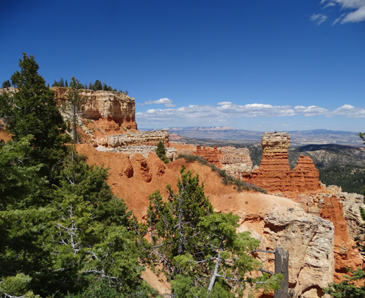
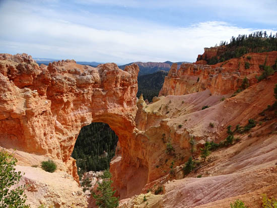
The Natural Bridge (8,627 feet elevation) overlook is also
very convenient to views of the rock "bridge" a little
below the parking area:
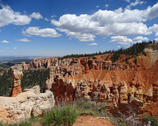
Farview (8,919 feet elevation) and Piracy Points share
the same parking area. Farview is right next to the road; there's
a short walk to Piracy Point, which faces more to the north. They are
connected by a fenced path.
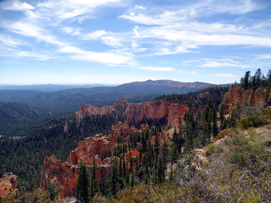
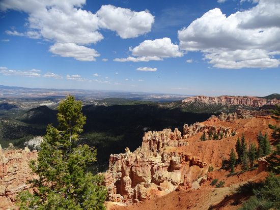
It's about four miles to the next overlook, Swamp Canyon
(7,998 feet). You can see interesting rocks and far vistas to the east
right out your car door:
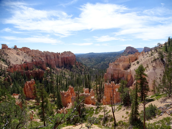
Two trails begin here. The Swamp Canyon and Sheep Creek connecting
trails form a loop down into the canyon and also access the Under-the-Rim Trail.
There is another overlook, Paria View (elev. 8,175 feet), that
is at the end of a short spur road off the Bryce Point Road about five
miles from the entrance gate.
Although Paria View
is in the main amphitheater area of the park, it faces a different
amphitheater to the south. I think this is one of the most scenic
overlooks outside of the large Bryce Amphitheater:
Parking
spaces are limited at Paria View and no long vehicles
like trailers, Class A rigs, or buses are allowed to drive back there. In
addition, this point requires a bit of a walk to reach the end of the
observation area. It's worth the effort, though.
FINAL THOUGHTS
Bryce Canyon is a magical fantasyland that is possible to visit in just one
day but lots more fun if you can spend more time and hike down into the
canyon for a totally different perspective of the rock formations.
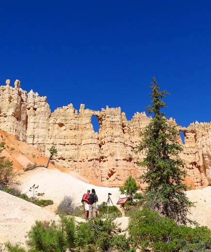
The Wall of Windows on the Peekaboo Trail, for example, looks
completely different from the canyon trail (next photo) than from the rim
-- if you can even find it from the rim:
All the tunnels, arches, and "windows" on the trails are cool,
too:
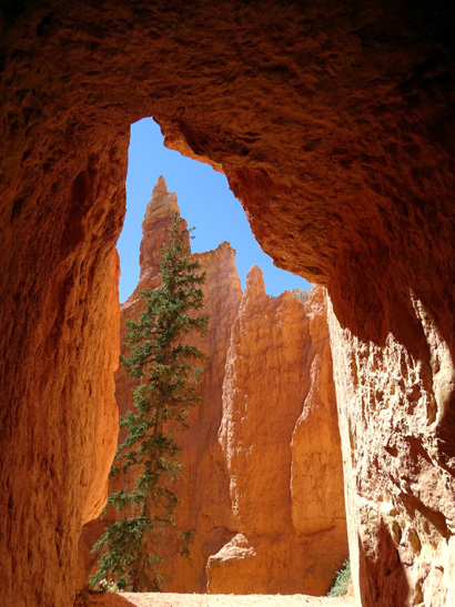
I took lots of photos framed
by tunnel and window openings.
This is the view from one of the tunnels on the
Peekaboo Trail.
If you're not able physically to hike any of the trails into the
canyon the only other option to get down there is on a two- or
four-hour horseback ride from the park concessionaire.
That's fun to do even if you are able to
hike below the rim:
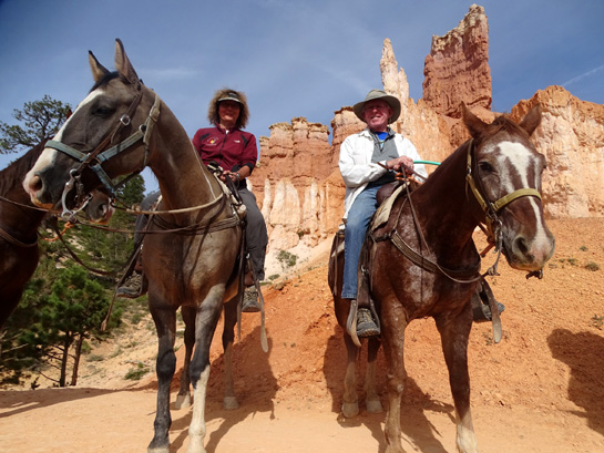
Photo from our half-day horse
ride 9-30-15; Sue is on Moqui, Jim on Red River.
Although Zion National Park gets about twice as many visitors as
Bryce Canyon -- probably because it's closer to a freeway --
I think the rock formations in Bryce are more interesting. You're forced
to take shuttle buses to reach the trails at Zion, the trails are
crowded, and it's even harder to find a parking spot at Zion than Bryce.
Except for the Navajo Loop and the paved section of the Rim Trail,
hikers are mostly well spread out on all the other trails at Bryce so
you don't feel like part of the maddening crowd below the rim.
Next entry: the uber-popular Navajo Loop Trail,
which includes the "Wall Street" slot canyon
Happy trails,
Sue
"Runtrails & Company" - Sue Norwood, Jim O'Neil,
Cody the ultra Lab, and Casey-pup
Previous
Next
© 2015 Sue Norwood and Jim O'Neil
