One of the first things we did on Day One in Valdez was to check on
trail conditions at the Forest Service cabin along the Richardson Hwy. and
the visitors' center in town.
Many of the local trails were under either snow or water from
snowmelt when we were here about the same time in 2012. That was after
Southcentral Alaska's worst winter in the last 60 years. What a
difference this time -- the winter of 2014-5 had the least
snow in the last 60+ years.
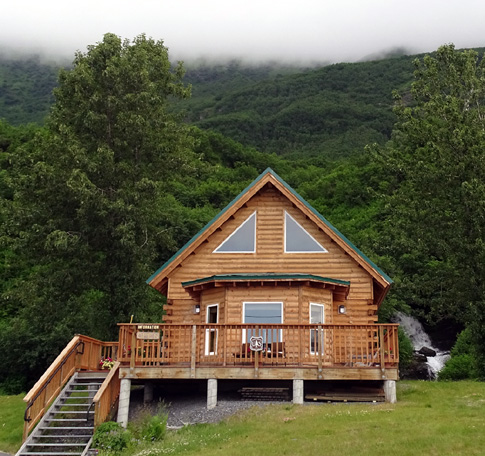
Chugach National Forest Service
information center near Valdez
However, because of unseasonably warm spring temperatures, the
streams and lakes are full of water from additional melting of glacial
ice. Although the Shoup Bay Trail to Gold Creek is mostly a
mess along the Port of Valdez, the other trails are passable.
This three-page entry covers hikes and bike rides we did at Dock Point Park,
Mineral Creek, a bayside trail from Homestead Rd., the bike path
along Richardson Hwy. north of Airport Rd., and the John Hunter Memorial
Trail that goes up to Solomon Lake.
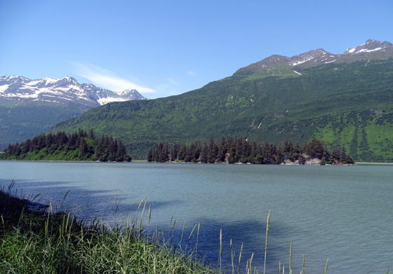
DOCK POINT PARK & TRAIL
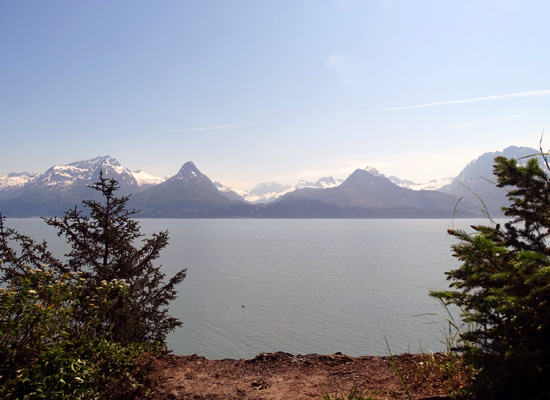
Dock Point is a long, narrow peninsula just east of the small boat
harbor in Valdez:
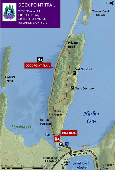
Map from City of Valdez Parks & Rec
website
It is 95% surrounded by sea water in Harbor Cove, the
Port of Valdez, and the Duck Flat marshlands, which fill with water at high tide.
Most of the peninsula is a public park, with some private property at
the far east end. A hilly, one-mile loop trail through forested
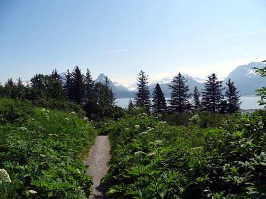
terrain, a meadow, and the northern shoreline provides excellent views of
the surrounding mountains, islands, marshes, and water:
Nearing the high point
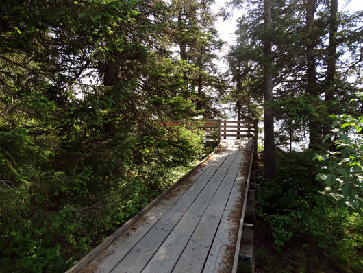
Boardwalks protect sensitive
and/or wet sections of the trail
View across bay to mountains
north of Valdez
Descent to the shoreline trail
Here's a bird's-eye view of the work being done on the new boat
harbor from one of the overlooks on Dock Point:
Looking down on the work being
done on the new boat harbor
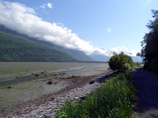
If you don't want to climb up and down to the overlooks you can hike
or cycle on a wide, flat, half-mile section of the trail along
the marsh side of the peninsula.
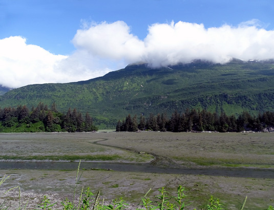
The day I hiked the trail with the dogs the tide was rather high. In
my opinion the marsh side of the park, where the trail is close to the
water, is much prettier at high tide than when it's lower and the mud
flats are exposed:
The contrast is interesting, though, and there are more birds out
feeding when the tide is low. I took these photos another day during a bike ride on the
lower trail when the tide was out:
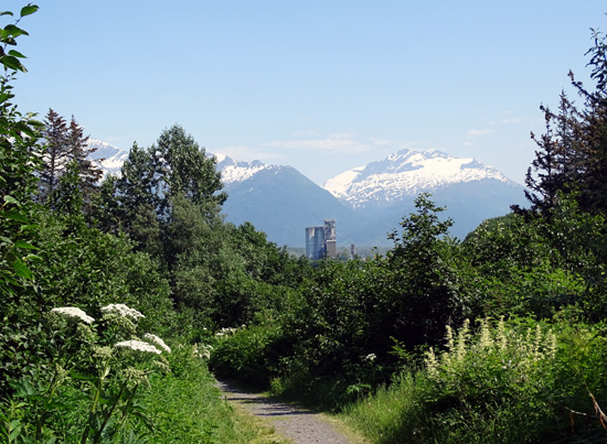
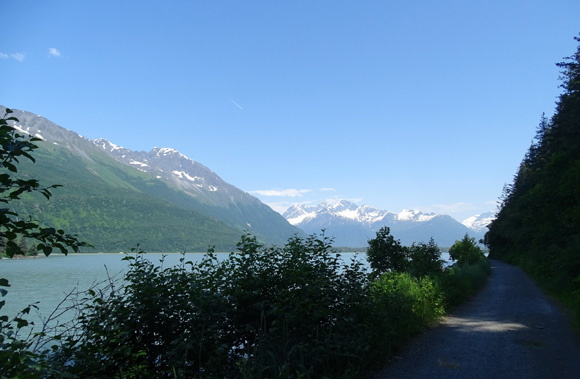
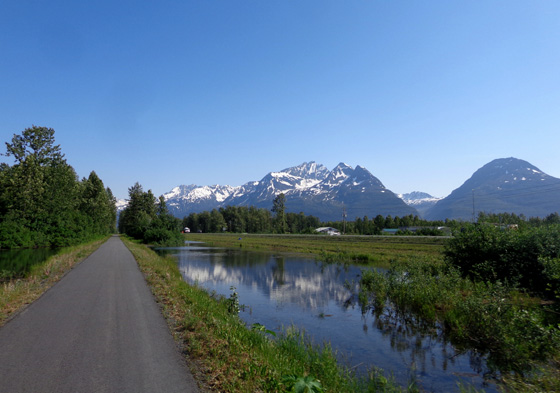
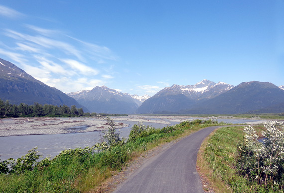
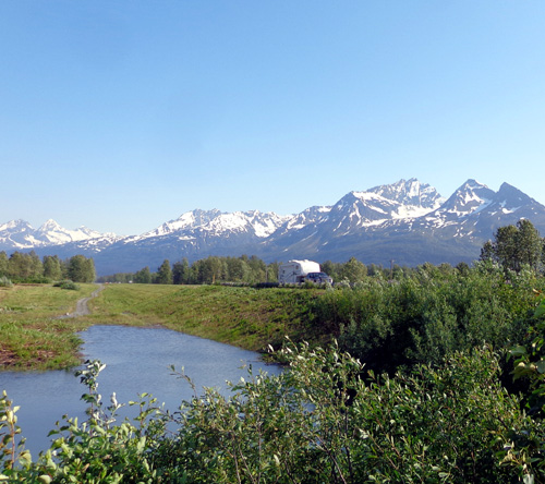
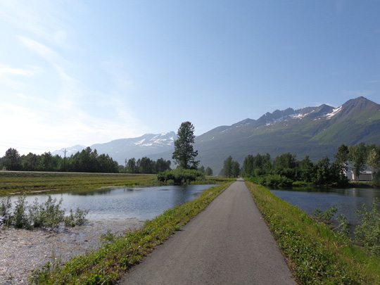
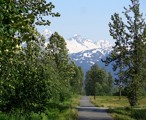
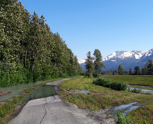
RICHARDSON HWY. BIKE PATH
In the previous entry I showed a few pictures of this paved path
along the three miles of the Richardson Hwy. west from Airport Rd. to town.
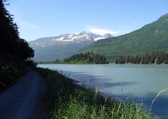
The bike path also extends
another three miles east to the intersection with Dayville Rd. I like
this part because it's farther from the highway and beyond the route
used by the trucks hauling dirt to town for the new harbor.
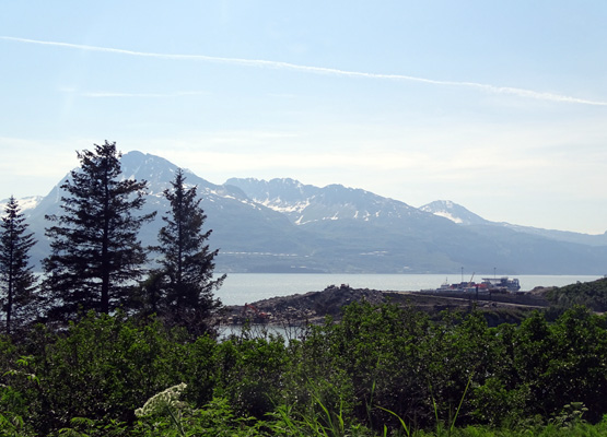
This section is interesting because it crosses the braided streams
coming down from several glaciers, including Valdez Glacier, and it has
scenic views of Mt. Francis:
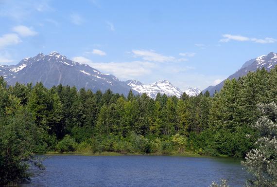
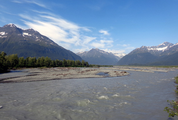
The next two photos are looking across the highway
toward Mt. Francis' peaks and glaciers:
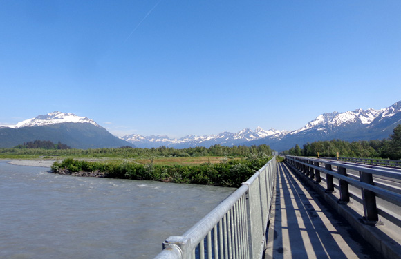
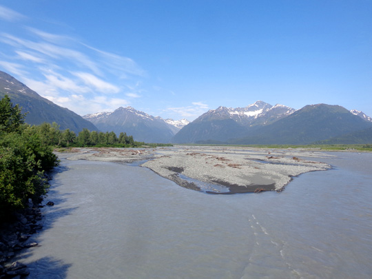
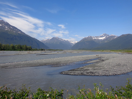
The next two pictures show views on this section closer
to Airport Road, going back toward Valdez:
Jim rode this part of the path several times, including a 45-mile
round trip to the base of the ascent to Thompson Pass. After the bike
path ended at Dayville
Rd. he had to ride on the highway shoulder.
One day when we rode this direction the path was partially flooded in two
areas from snowmelt near the glacial creeks but we were able to ride through
the water:
Continued on the next page: trails up and down Mineral Creek
Happy trails,
Sue
"Runtrails & Company" - Sue Norwood, Jim O'Neil,
Cody the ultra Lab, and Casey-pup
Previous
Next
© 2015 Sue Norwood and Jim O'Neil
