|
2015 HIKING, CYCLING, & RV TRAVEL ADVENTURES
Denali AKA Mt. McKinley
| ||

|
Runtrails' Web Journal
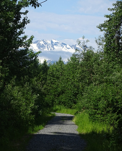
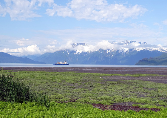
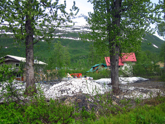
Continued from the previous page. HOMESTEAD-TO-BAYSIDE TRAIL I don't know the real name of this trail, which I found on a bike
ride while searching for the Shoup Bay trailhead. About a quarter mile
from West Egan Dr. on Homestead Rd. is a very nice gravel trail that runs
about 6/10ths of a mile through woods to the bay and loops back along Mineral Creek. After reading the sign at the trailhead for Shoup Bay Trail that said
the trail was impassable after a mile, I decided to check out the
Homestead Trail. It was easy to cycle from the parking area to the bay:
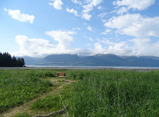
I sat on this log (above) to eat
a Clif bar while watching the dredge (below) in the bay.
The trail loops back along the lower end of braided Mineral Creek to
the parking area:
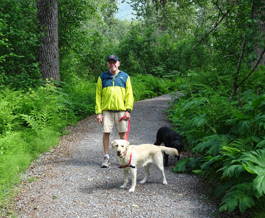
I loved the forest, pretty little brook I passed (shown below), mountains,
and views at the end of the trail so much that I went back later that
afternoon to hike the path with Jim and the dogs:
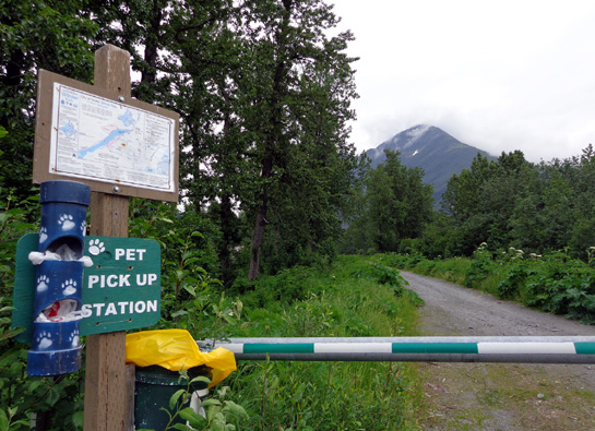
This is a hidden gem that isn't in the summer trail map guide book we
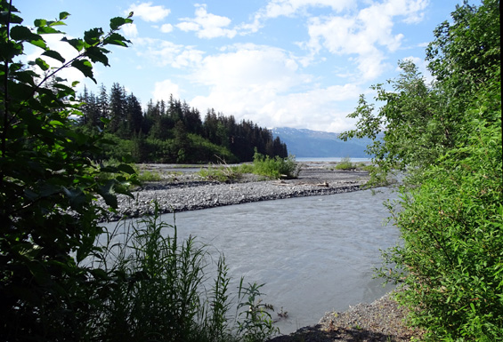
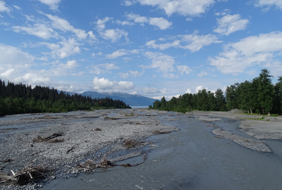
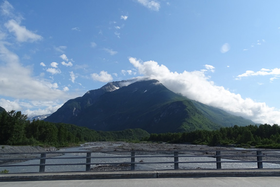
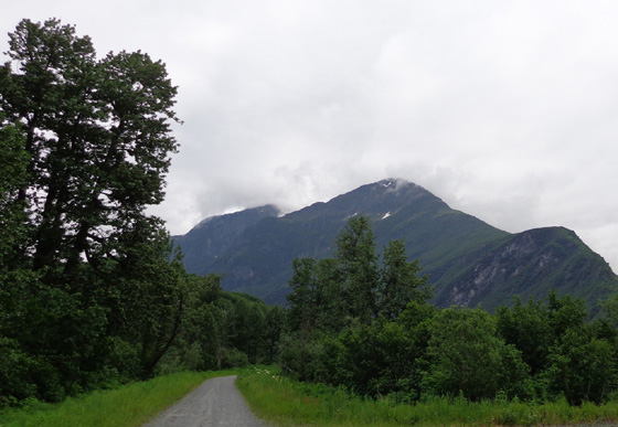
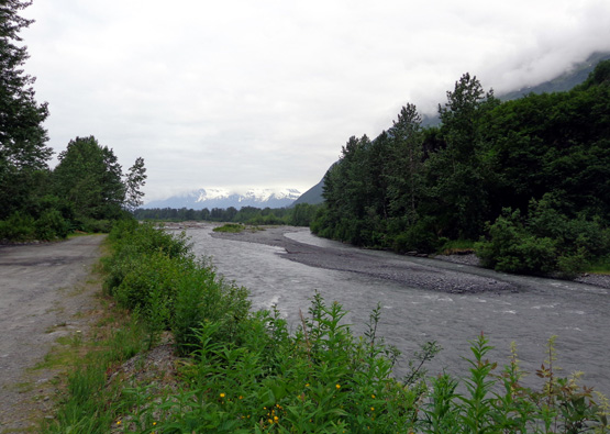
got at the visitors' center. Perhaps it's too new. MINERAL CREEK: LOWER TRAILS Mineral Creek flows down from the icefields, glaciers, and mountains
to the north and west of Valdez. By the time it reaches Port Valdez the
stream is braided and as wide as a river, especially in the spring and early summer. There are two bridges over the creek; the main one is on West Egan
Drive. This view looks upstream from that bridge:
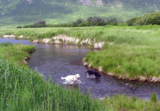
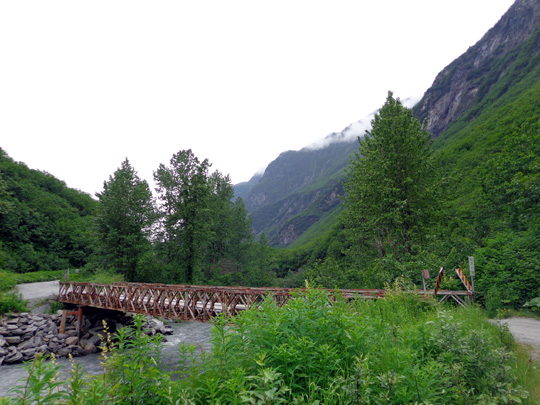
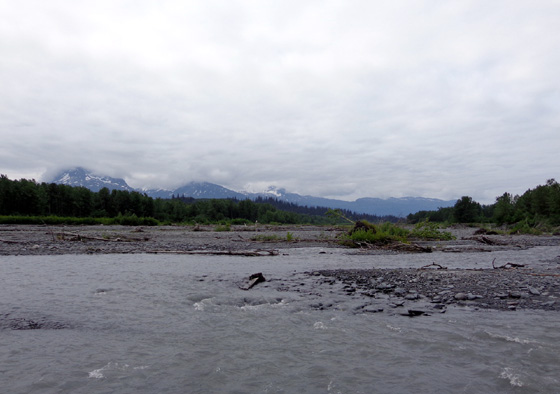
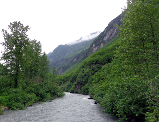
A wide, mostly flat trail runs along both sides of the creek for
about two miles to another small bridge farther upstream:
Those are the trails where the next set of photos come from:
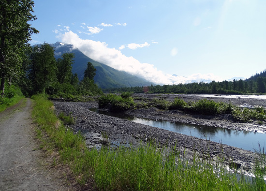
That day I wanted to walk up the far side to the little wooden bridge, cross
the creek, and come back on the other side to West Egan Dr. However, the trail
petered out before I got to the little bridge and I didn't want
to ford several braids of the creek:
The brush was too dense to muster my way through it for a quarter mile
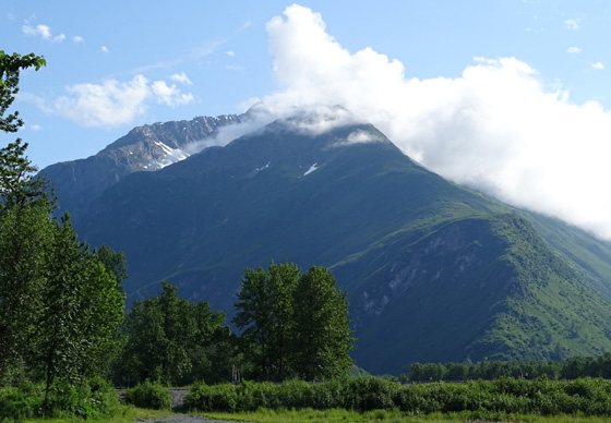
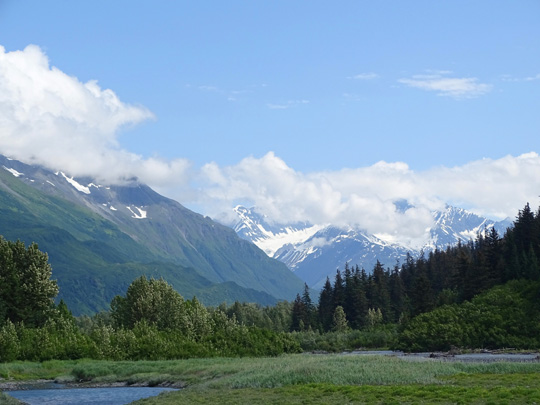
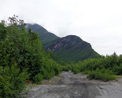
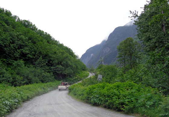
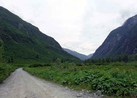
so I turned around and backtracked to the truck on the same side of the creek. MINERAL CREEK: UPPER TRAIL Above the little wooden bridge a rough gravel road ascends through the
creek gulch for 5.5 miles to a gate. Four-wheel drive traffic
is allowed on this road but creeks and washouts prevent vehicles from
going more than a couple miles. One day I took Casey for a hike. Here are a few pictures I took along
the road:
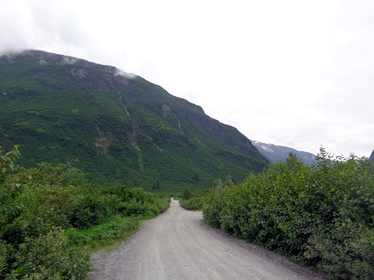
Beyond the gate, a dirt foot path called Mineral Creek Trail
continues another 2.7 miles to an old stamp mill and mine. I didn't get that far on my hike with Casey because I wasn't having
any fun. I couldn't see the creek from the
gravel road and there was too much dust from traffic. About a mile up
the road Casey sensed a bear nearby. I was carrying bear spray and
calling out, "Hey, bear!" even
before that because I knew they could be in the vicinity. Casey and Cody both go ballistic when they smell a bear so I thought
it'd be in our best interest to retreat -- hair up on their
backs like a Mohawk, noses wildly sniffing the air, loud barking. They
don't do that for any other wild critter. Somehow they just know that
bears are bad news for dogs. Continued on the next page: trail to Solomon Lake Happy trails,
Sue
© 2015 Sue Norwood and Jim O'Neil |
|||