Battery Point Trail leads through dense rainforest to some great views
of Portage Cove, Lynn Canal, and the mountains surrounding Haines.
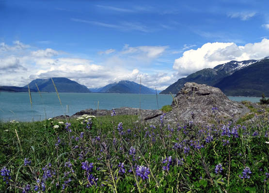
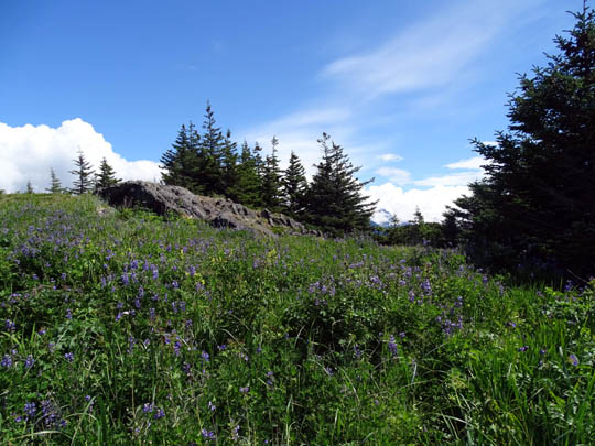
View to the north over the lupines and cow parsnip
wildflowers on Kelgaya Point
The trail traverses the eastern flank of Mt. Riley in Chilkat State
Park. The map section below is from my Garmin GPS track:
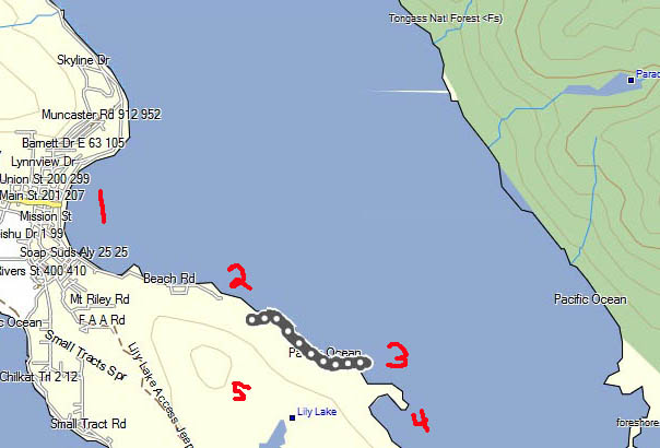
1= Haines and Portage Cove; Lynn Canal is to the
right 2 = trailhead on Beach Rd.
3 = GPS track to Kelgaya Point 4 =
Battery Point 5 = Mt. Riley and Chilkat State Park
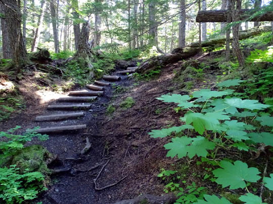
This scenic trail undulates through the forest about 100-200 feet above
Portage Cove for a mile before dropping down to the shoreline.
Hikers can walk at least another mile south along the rocks and sand-gravel
beach to Battery Point or follow a narrow trail through wildflowers to
various overlooks and a smaller cove between Kelgaya and Battery Points.
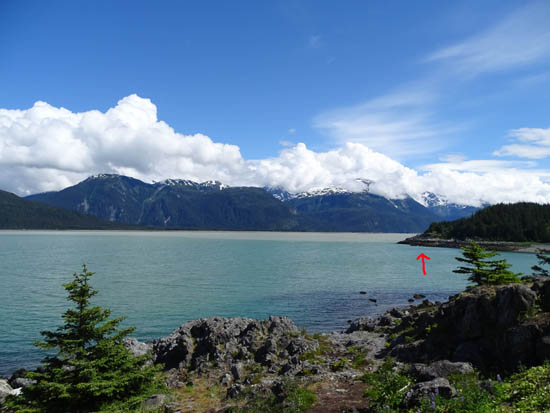
View from Kalgaya Point across
small bay to north end of Battery Point;
Garmin calls the point above the
arrow False Battery Point (see map above).
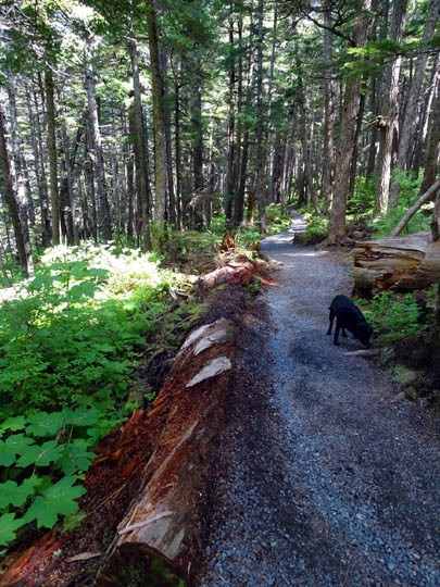
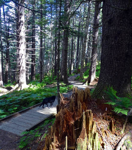
I hiked with Cody out and back on the trail to the cove between the
two points yesterday.
I loved walking through the lush rainforest.
There were lots of ferns, bunch berries, and large-leaved plants like
Devil's Club. Moss
covers just about everything and the spruce-fir forest is beautiful.
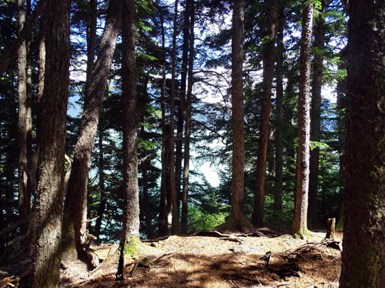
There are occasional views down
to the water.
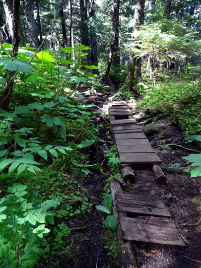
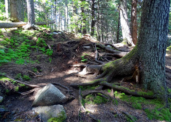
The first half mile is easily-negotiated gravel but it soon turns
extremely rooty, with some steep little ups and downs.
Outbound was more difficult for me because it was a net downhill to the
water. I did better hiking uphill on the return.
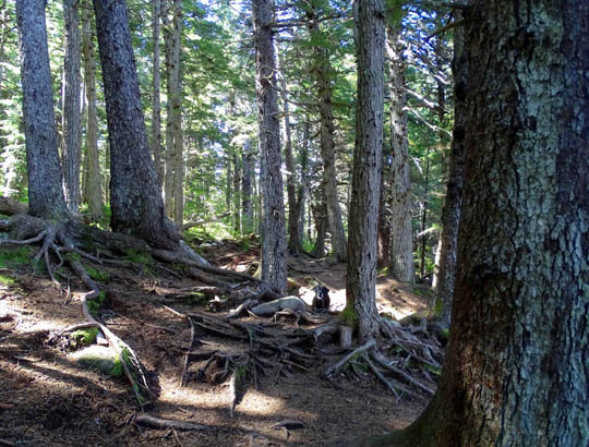
He's hard to see -- Cody is waiting for me from
the ravine where the trail goes.
He's getting old, too, but with four legs he's more agile
than me on rough terrain.
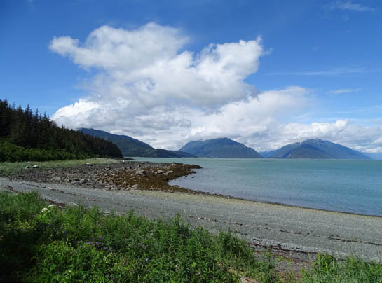
ALONG THE SHORE
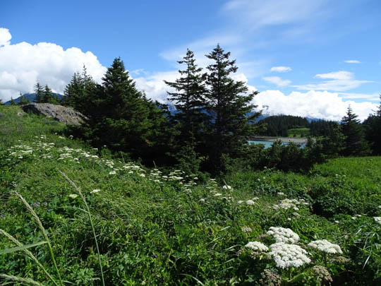
Once out of the forest I followed a narrow trail through dense
wildflowers and grasses above the rocky beach for about a quarter mile
to Kelgaya Point.
The trail popped out of the
forest at this viewpoint.
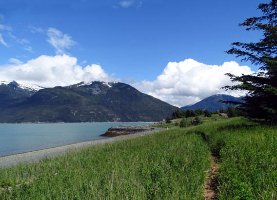
Narrow trail through the grass
and flowers
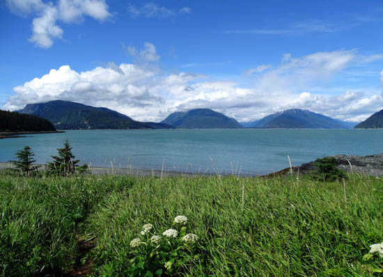
View north across the bay; Mt. Ripinsky
is the large mountain on the left.
I took almost as many pictures of the lush flowers as I did of the landscape.
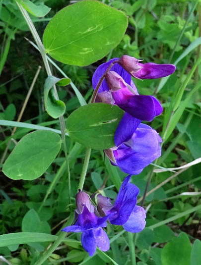
There were lots of blue lupines, penstemon, monkshood, wild irises,
geraniums, tall white cow parsnip, Indian paintbrush, and other sun-loving wildflowers:
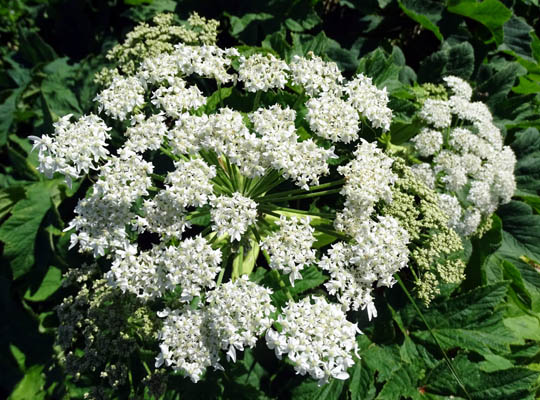
Above and below: cow parsnips
Delicate monkshood blooms
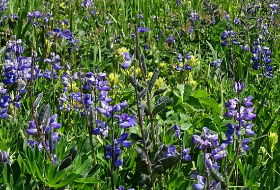
Above and below: the slope on Kelgaya point
was full of blue lupines and
wild geraniums, as well as cream- and yellow-hued
Indian paintbrush.
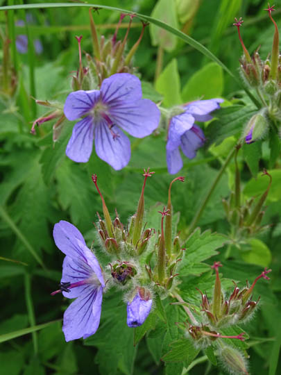
Wild
geraniums
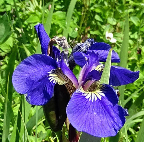
There were also lots of pretty wild irises at the
point.
Continued on next page: scenes from Kelgaya Point and out
second hike on this trail
Happy trails,
Sue
"Runtrails & Company" - Sue Norwood, Jim O'Neil,
Cody the ultra Lab, and Casey-pup
Previous
Next
© 2015 Sue Norwood and Jim O'Neil
