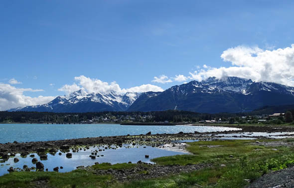
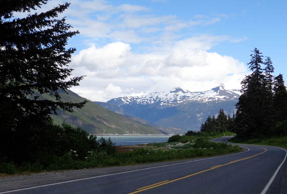
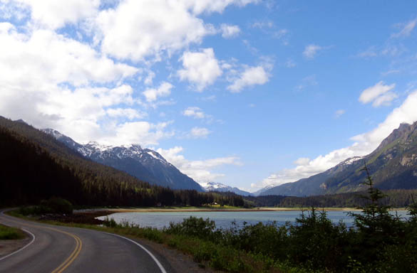
In addition to driving out scenic Lutak Road three or four times in the
truck, we also rode our bikes there several times because the views of
glaciers and snow-covered peaks above the inlets and Lynn Canal are so
beautiful.
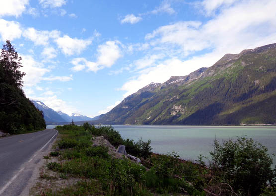
Traffic was fairly light each time we went out Lutak Road and it was easy
to stop to take pictures. I took a ton of them along the 10-mile
stretch of road that follows the shores of Lutak Inlet, Chilkoot Inlet,
then Chilkoot River, from Haines to the Chilkoot Lake State Recreation Site.
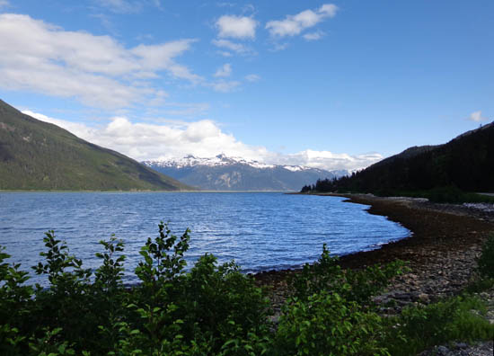
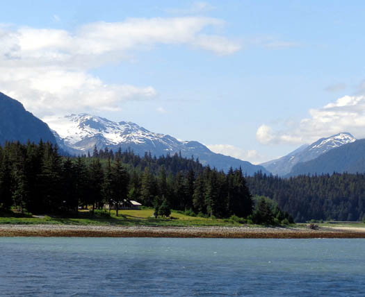
Pullouts and overlooks along Lutak Road also offer great views of
Haines, the inlet, and surrounding mountain peaks.
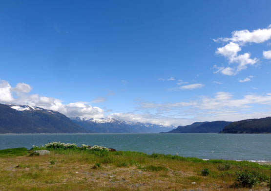
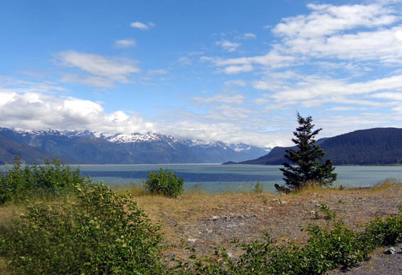
View of Ft. Seward and Haines
just out of town on Lutak Rd.
Chilkoot Inlet is to the left,
the Lynn Canal (arrow) to the right.
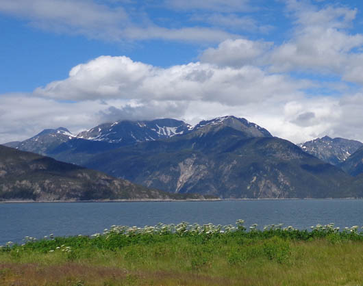
View south to Battery Point and
Coastal Range
Looking east to Coastal Range
across Chilkoot Inlet
Above and below: two
views looking south
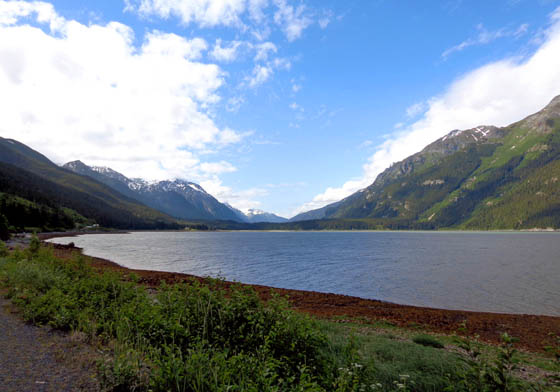
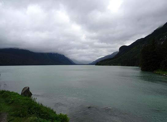
View north toward the end of the inlet
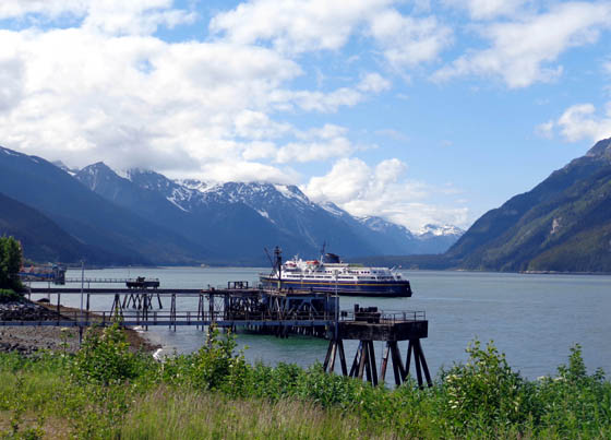
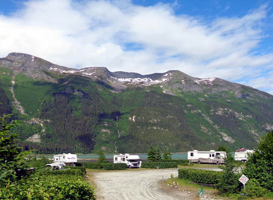
The road passes the Alaska Marine Highway ferry terminal (fun to
watch the ferries come and go), a small waterfront RV park, and a few
houses with spectacular views.
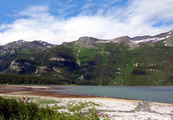
Some of the best views of the mountains, water, and
waterfalls are around the curve at the far end of the inlet:
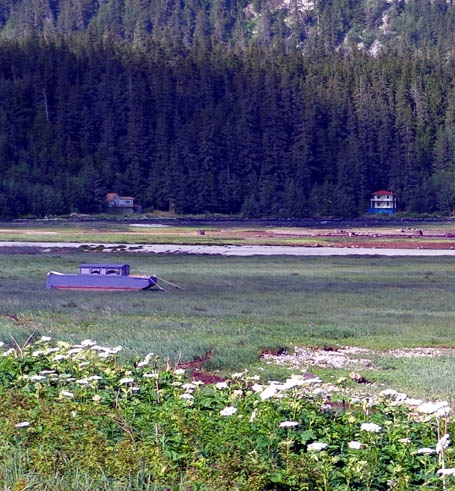
Dilapidated boat in "dry dock" at
end of the inlet
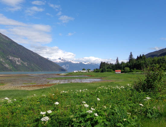
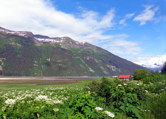
Above and below: I love
this red-roofed house in contrast to nature's blues and greens.
Lutak Lake Road ends about half a mile from where I took the last two
pictures above. Some nice houses
overlooking the end of Chilkoot Inlet are located there. Before the road
ends, gravel Chilkoot Lake Road branches off to the left and follows the
Chilkoot River for about a mile to the state recreation site. The park
road ends at the lake, dock, and campground.
In addition to all the fantastic scenery, Lutak and Chilkoot Lake
Roads are both excellent places to view wildlife.
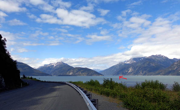
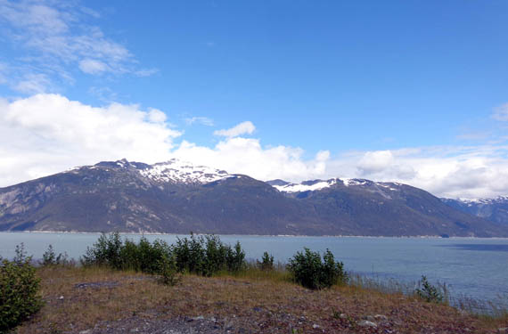
Lutek Inlet is fairly narrow and more sheltered than the nearby Lynn
Canal -- which stretches 15 miles up to Skagway -- making
it easier to spot river otters, Steller sea lions, harbor porpoises, and
harbor seals in the water.
Chilkoot Inlet is fairly narrow
here.
According to an Alaska Department of Fish & Game brochure we picked
up, a few humpback and killer whales swim into the inlets in May and
June but we didn't see any of those.
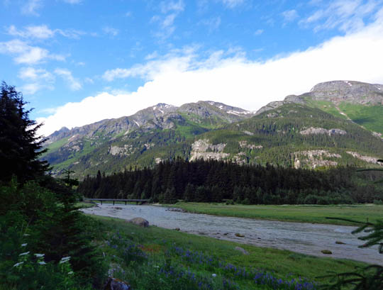
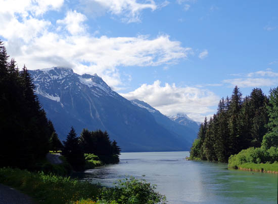
CHILKOOT RIVER
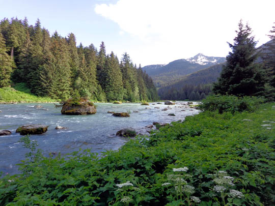
The Chilkoot River flows only a mile from Chilkoot Lake to Chilkoot
Inlet but it's an impressive mile. The glacier-blue water is gorgeous
and this is one of the more easily reached bear-viewing places in
Southeast Alaska.
Several species of salmon swim up the Chilkoot River between mid-June
and October, drawing brown (grizzly) bears and lots of spectators. The
peak months for bear viewing along this river are July and August.
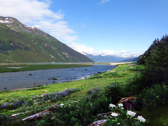
View of river where it flows
into Chilkoot Inlet; I love the glacial blue color.
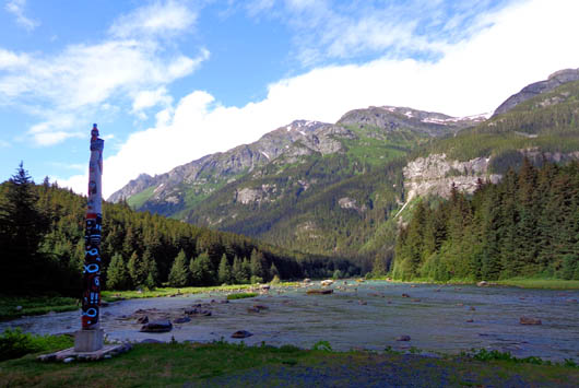
The area of the river near the
totem pole is a Native Allotment that is not open
to the public but anyone can
fish farther upstream.
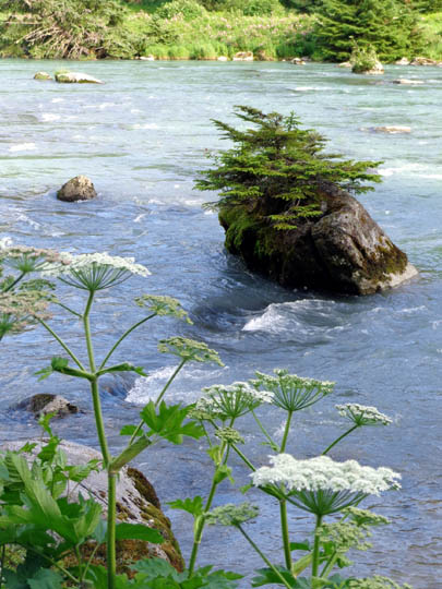
Above and below: note the little trees
growing on top of the boulders in the river.
Although we didn't see any bears or salmon on our treks out Lutak
Road this week, the salmon have begun to return to their birthplaces in
Chikoot River and Lake to spawn.
The Alaska Dept. of Fish & Game operates a fish weir on the river to
count the returning salmon each summer. There is a sign board at the
road that gives each day's count. This week about a dozen salmon have
been noted each day.
The short river and lake are also reported to be great places to
catch fresh-water fish. We saw people fishing along the river and lake
shore each time we drove or rode our bikes to the recreation site.
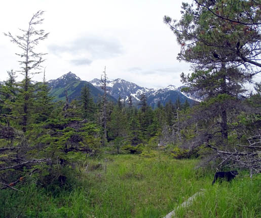
CHILKOOT LAKE STATE RECREATION SITE
This is a beautiful lake with mountains on three sides. It's scenic
even on cloudy days:

Lake outlet = beginning of Chilkoot River
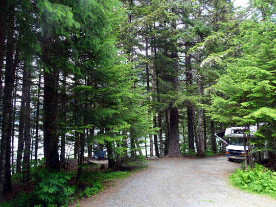
There is a picnic area, dock with rental boats, and 32-site campground.
I rode my bike through the campground one day and was impressed with
how nice it is. Sites are well separated by tall pine trees and some
have lake views. There are only a few pull-thru and back-in sites
suitable for big rigs. There are no hookups. The campground has vault
toilets and hand pumps for water.
One day I drove Cody to the lake to hike several miles on an old
trail along the lake. When I couldn't find the trailhead, I stopped to
talk to the campground host.
I learned that avalanches closed that trail several years ago and
it's never been repaired. The only trail he could point me to was a
short loop of less than a mile through the forest and a wetland area so
Cody and I hiked that:
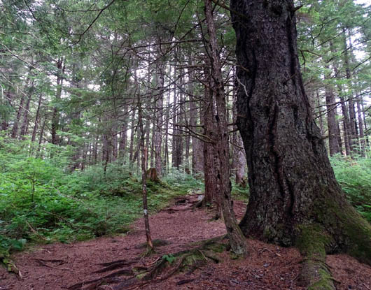
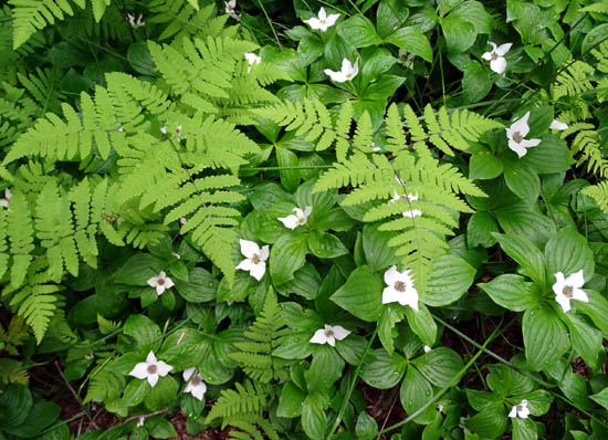
Ferns and dogwood
Lutak Road was our favorite place to ride our bikes in the
Haines area. It would be even more fun later in the summer or fall when the
salmon are running stronger and more bears and eagles are present.
Next entry: more water, mountain, and wildflower
photos from two hikes on the Battery Point Trail
Happy trails,
Sue
"Runtrails & Company" - Sue Norwood, Jim O'Neil,
Cody the ultra Lab, and Casey-pup
Previous
Next
© 2015 Sue Norwood and Jim O'Neil
