Continued from the previous page.
THEN & NOW
Well before this point three summers ago I was already slogging through
mud and snow. Check out the five-page entry dated
July
7, 2012 and compare those photos to these and the ones from
my sunny hike in two days -- what a huge difference in the snow levels!
On my hike three years ago the trail was mostly covered in snow
the last two miles (I went out 4˝
miles that time, almost as far as today). Snow drifts in the second mile
at Marmot Meadows led to larger and larger patches of snow
until all of the remaining trail was covered. It was beautiful, but
tough hiking.
A
path through the snow had just been cut a day or two before my hike but I
was able to follow the footprints all the way to the high point.
This snowy picture of the overlook was taken from about the same point
as the very green photo on the previous page:
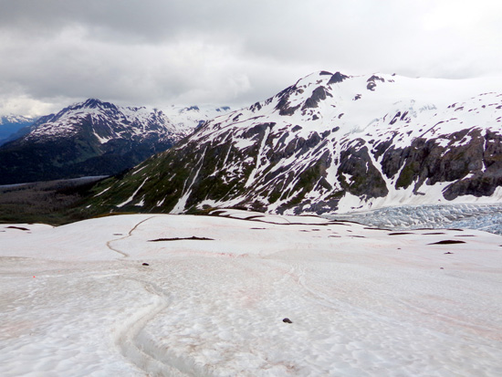
View down to the overlook on July 7, 2012
Today was much
different, which is why we came to Seward a month later than on our
first trip to this area. It was very interesting to see what the trail and
surrounding scenery looks like when summer has finally arrived. It was
almost like a whole new trail to me.
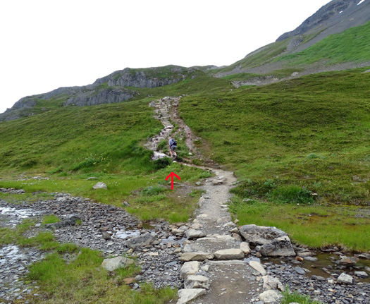
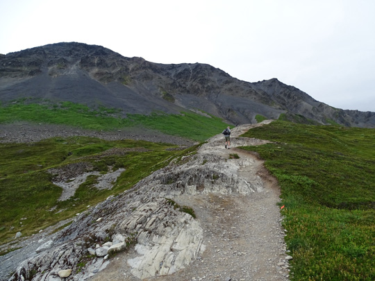
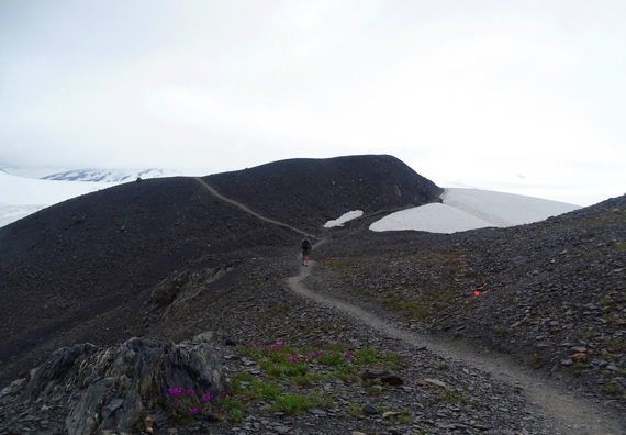
In the next quarter or third of a mile above the broad, now-grassy
overlook the trail continues its ascent over bedrock and a boulder
field. The rocks aren't any easier to navigate than deep snow!
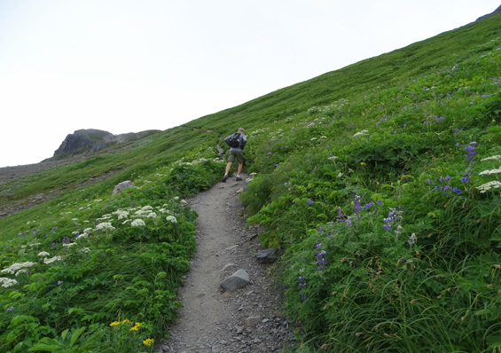
Arrow points to Jim.
Up and over
some bedrock . . .
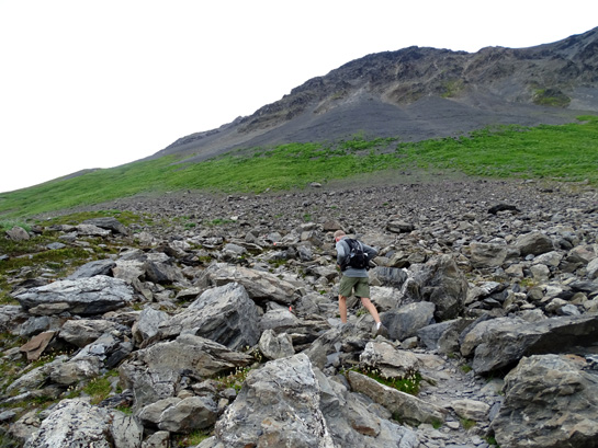
. . . and
through a boulder field
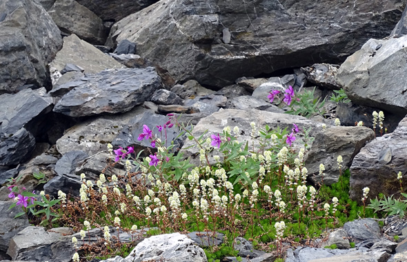
Indian paintbrush and dwarf fireweed
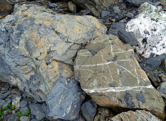
Interesting mix of rock types in the boulder field
Three years ago some of the bedrock was exposed but I had no idea those
rocks were buried underneath the snow:
July 7, 2012
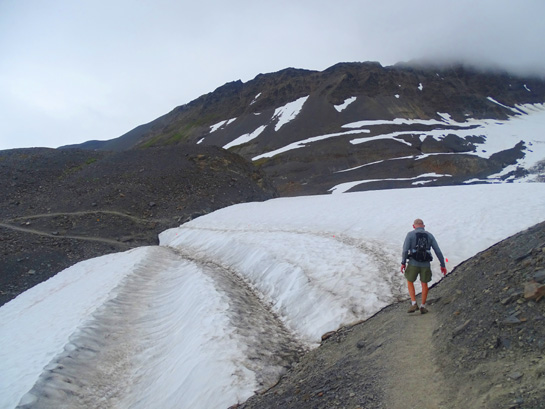
These smoothest part of the trail comes after the boulder field as the
narrow trail contours high above Exit Glacier with steep slopes on
either side.
It was much prettier and less scary to hike this part today than it was
three years ago when a slip in the snow could have meant a treacherous slide
downhill:
July 7, 2012
Today the path was clear, mostly dry except for a couple tiny streams of
water, and full of beautiful flowers,
including lupines, bunchberries, and cow parsnip.
Those flowers have already stopped
blooming at lower elevations in most other parts of Alaska where we've
traveled this summer:
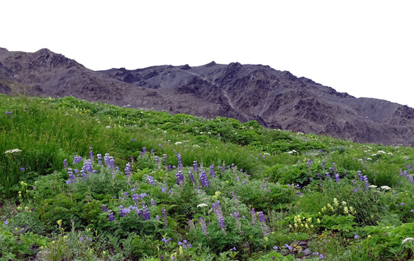
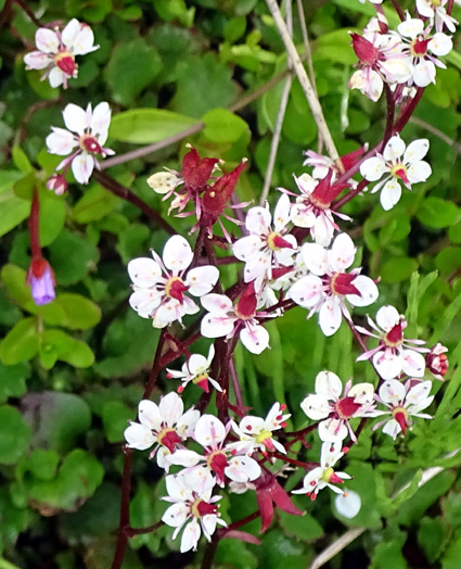
Blue lupines and geraniums, cream Indian
paintbrush, white cow parsnip, and more
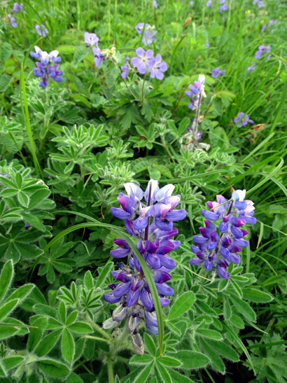
Lupines and northern geraniums
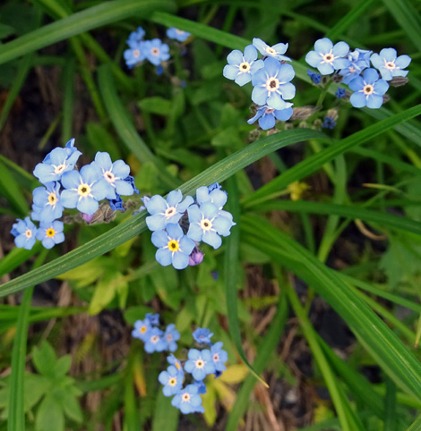
Forget-me-not, Alaska's state flower
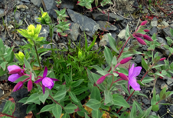
Dwarf fireweed and Indian paintbrush
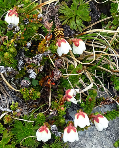
Starry Cassiope AKA Alaskan mountain heather
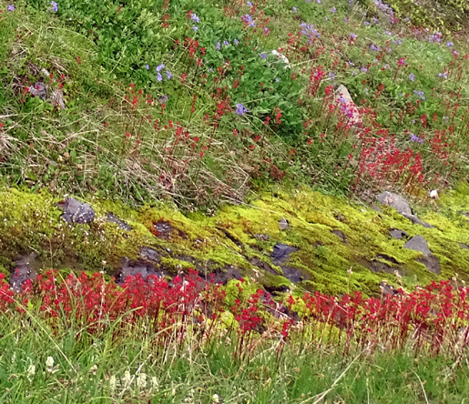
There was one short, very colorful wet area we crossed on this slope
with contrasting green moss and tiny red and pink flowers I haven't seen
anywhere else before; I haven't been able to identify them:
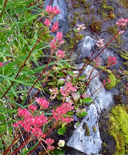
Who knew all these flowers were lurking under the snow three years ago,
just waiting to burst forth??
In this relatively flat section, and the more rolling, mostly barren
tundra past it, we
had great views across and then down to the glacier and ice field as we
climbed higher and higher:
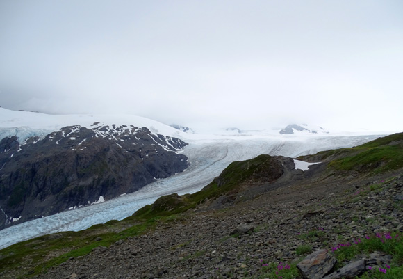
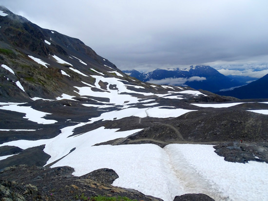
ROLLING TUNDRA
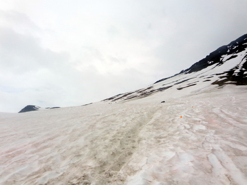
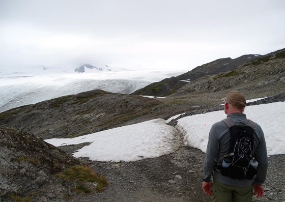
Almost all of the
upper half of the trail was exposed today. We had eleven mostly short
segments in the barren tundra with slick snow, which made the hike a little
harder but more fun and visually interesting than if it had all
been melted. It's mostly rocks up here, probably formerly covered by the
ice sheet.
This upper plateau
was a study in browns, grays, and whites with a little bit of green. It
would have been much prettier with blue sky but I had to wait two more
days to see it like that.
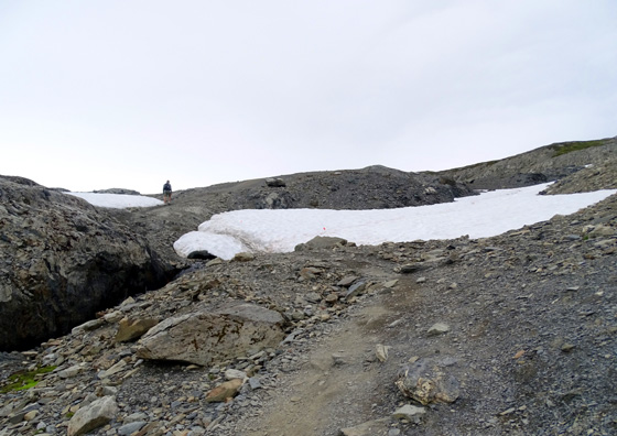
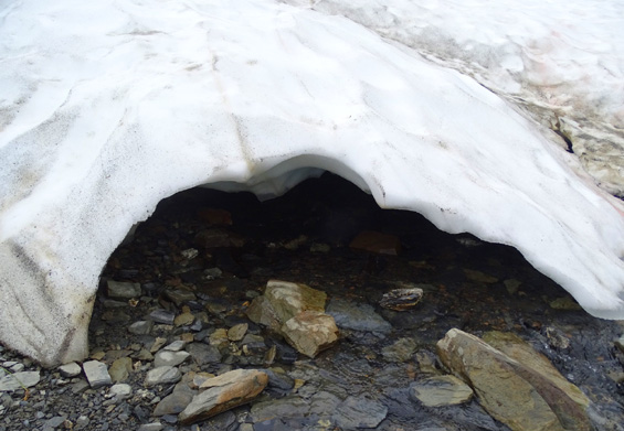
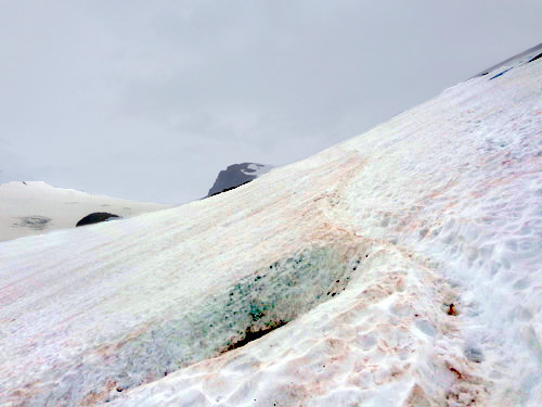
Snow
bridge over a little stream
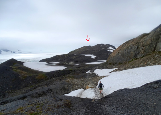
Farther than it looks: arrow points to the
high point where we turned around.
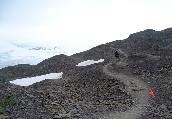
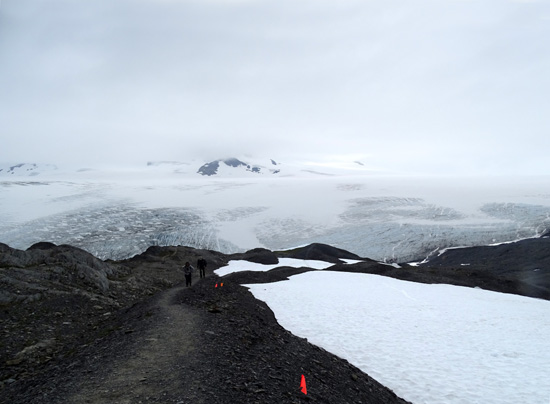
Little red flags (foreground) mark the trail through the snow
and where it recently melted;
I could have used those three years ago! Arrow marks
safety hut near the top of a hill.
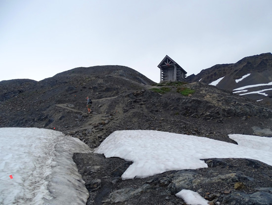
Jim climbs up toward the safety hut.
From the hut, looking back where we just hiked over
rolling terrain in the tundra
Now we're actually higher than the ice field the rest of the way to our
turnaround point:
Last snow patch outbound
Last hill ahead; we went around the trail to the
right, at the edge of the snow.
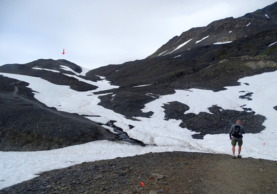
High point is to the left and the ice field is ahead.
Two people are walking up the trail toward us.
Continued on the next page: enjoying the tundra + scenes
going back down the mountain
Happy trails,
Sue
"Runtrails & Company" - Sue Norwood, Jim O'Neil,
Cody the ultra Lab, and Casey-pup
Previous
Next
© 2015 Sue Norwood and Jim O'Neil
