Continued from the previous page.
SOUTHWESTERN PART OF THE TRAIL
The trail is less hilly south of the Lewis & Clark Interpretive Center.
It closely follows the river most of the way downtown as it gradually
descends from about a hundred feet above the water to near-river level
in the more urban miles.
These photos are in rough chronological order south of the interpretive
center:
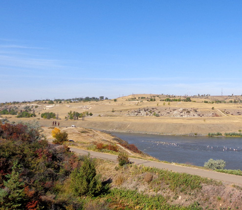
Looking down at the river, bike path, and Lewis &
Clark sculptures from one of the parking areas
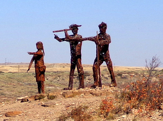
Closer view of the sculptures of Sacagawea, Lewis,
and Clark,
depicting scouting their land portage around all the falls
in the Missouri River
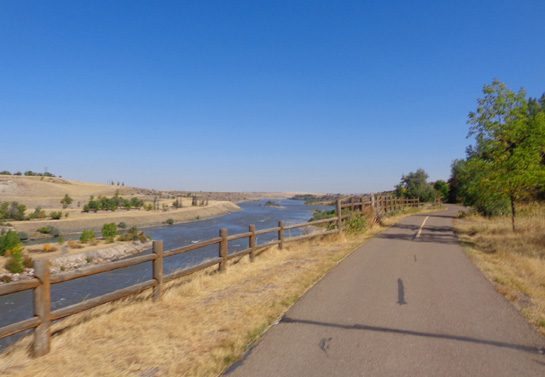
Where the trail is high above the river like this you can see quite a
distance upstream and down:
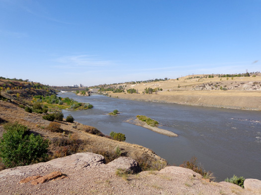
Upstream toward town
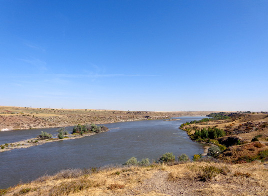
Downstream (northeast)
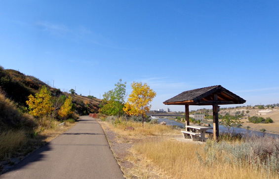
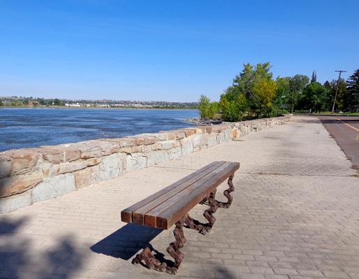
There are benches and picnic tables at scenic intervals all along the
bike path. This one is just north of the sculptures on the approach to
Black Eagle Island, Falls, and Dam:
Here's another view closer to the dam, looking the other direction
(downstream):
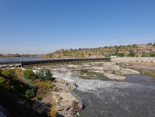
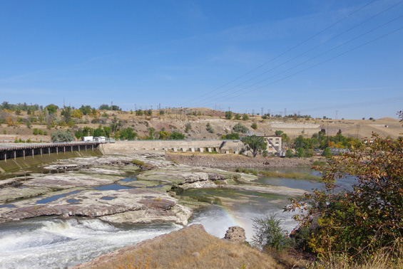
Black Eagle is one of the interesting falls and dams you can clearly see
from the bike path. I got some good shots today of a rainbow in the
water spray above part of the nearby section of falls:
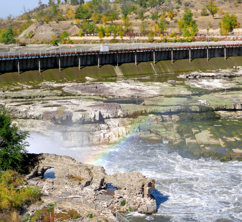
The water-sculpted rocks in the foreground are
interesting, too.
Below this dam the river appears low. At first we thought it was just
normal low levels at the end of summer.
Then we noticed that the water is even lower above the Black
Eagle Dam; a lot of sand is visible in its wide reservoir:
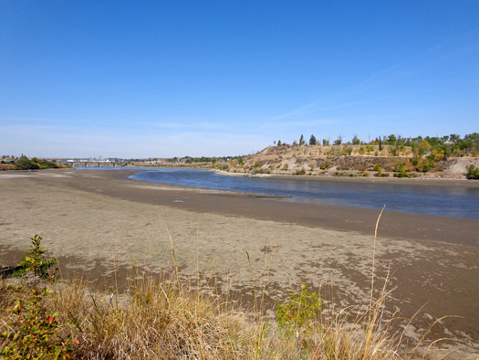
On the local news this evening we learned why the water level downstream
and in the reservoir above the
dam is so low – engineers have lowered the level of the reservoir about 12
feet already so they can do some maintenance on the dam.
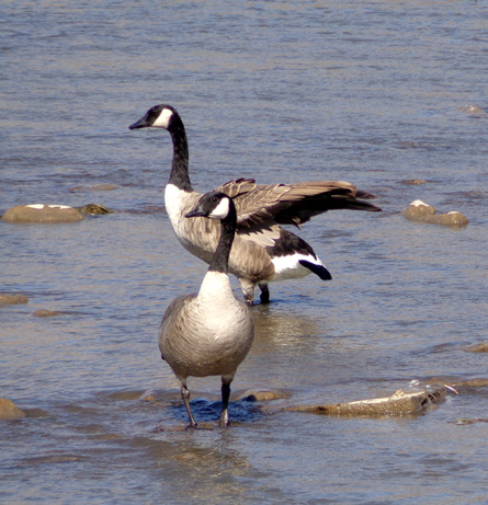
The water was released gradually so it didn’t abruptly affect anyone or anything
downstream, including all the birds that are along the river:
The city will reach the low water level desired tomorrow, do the
maintenance work (which is required every few years), then allow the water
to build back up gradually in the reservoir.
River's Edge Trail trail goes right through eight or nine city parks as
it heads toward town and has spurs to access several other parks.
We were delighted to find a beautiful fenced-in, off-leash dog park
right next to the bike path in Gibson
Park. It has two large fenced-in areas, one designated for large dogs
and another one for small dogs, with a nice covered pavilion between
them for dog lovers to mingle:
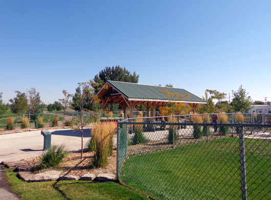
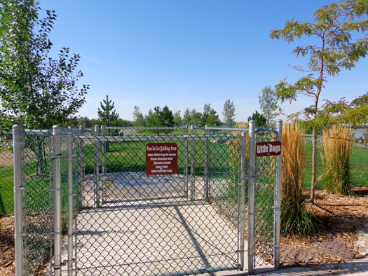
Entrance to area for little dogs
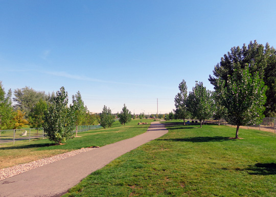
Path through the long expanse of grass for large
dogs; the bike path is outside the fence to the left.
The grass is nice and green (it’s
brown everywhere that isn’t watered regularly) in both the large and
small dog areas and there are several tunnels, jumps, etc. – even more
permanent obstacles than a regular agility course.
This is the best dog park I've ever seen!
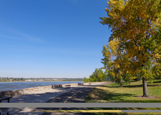
These photos continue south toward town, where the bike path is just
above river level:
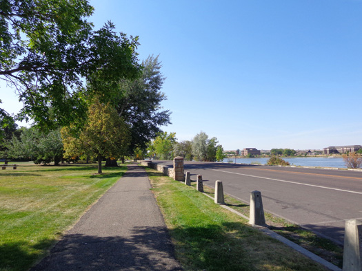
Another park on the left; River Dr. is on
the right.
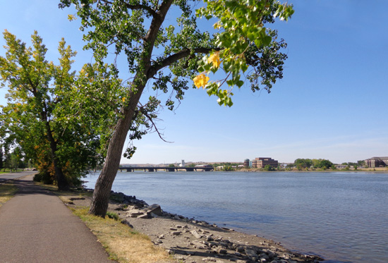
If the path was any closer to the river it would be
IN the river! Wonder what happens in the spring
when all the snow melts? Maybe it's not a
problem since there are several dams in the area.
Pedestrians and cyclists have to stop a couple of times to go back and
forth across River Dr. but most drivers obeyed the law and stopped to
let us cross the street.
There are several underpasses, an overpass, and a short tunnel on the
southern portion of the bike trail. The path goes under this bridge
along River Dr.:
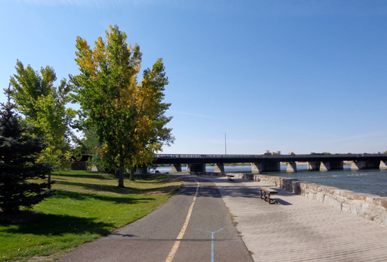
I like this part of the trail (above and below) with the park, trees,
benches, and nice views of the river:
Note the unique bench legs made from chains:
When we went this way we lost the trail for about half a mile near the
police station at Railroad Square:
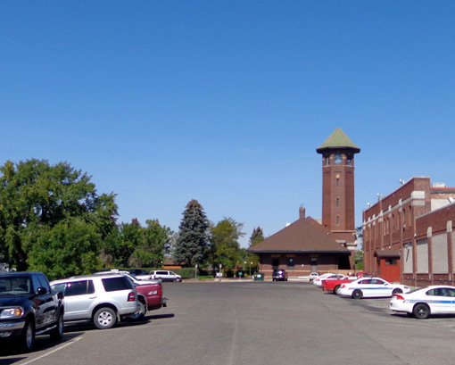
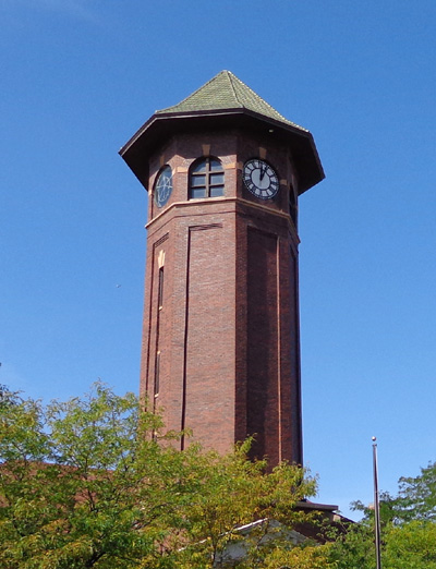
We rode through some parking lots and on streets to find the remainder
of the trail down to the Great Falls visitor center, then turned around
at what we think is the end of the trail in that direction.
A new section of trail is being poured near the police station:
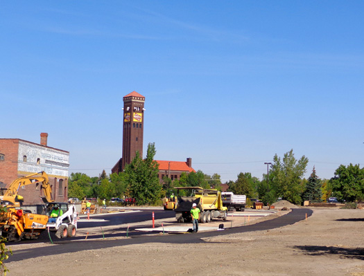
Hopefully that will connect with the southern section of trail and
eliminate the "missing link" on streets and through parking lots.
