Although Jim and I have been busy getting
everything back in order since we arrived at
Gateway FamCamp at Malmstrom AFB in Great Falls six days ago, we've
taken time each day to get out and ride our bikes and/or walk with Cody.
The weather has been dry and unseasonably
warm -- and we've been taking full advantage of that after months
of wet, chilly weather in Alaska and Canada.
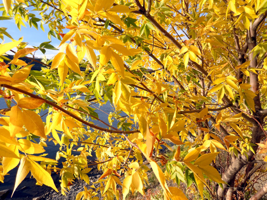
Looks
like fall but still feels like summer in Great Falls
In this entry I'll show photos I've taken on
different days from the impressive River's Edge multi-use trail along
the Missouri River. The paved path parallels several miles of Lewis &
Clark's historic portage along the Missouri River and utilizes portions
of old railroad beds.
It's a great hike or
bike ride with lots of scenic views and
historical significance.
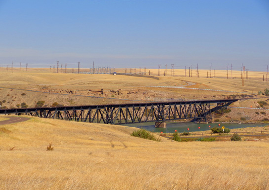
We discovered this terrific bike path back in
May but this time we rode the entire length of it on the south side of
the river (about a dozen miles
are paved). I believe there are more paved miles on the other side of
the river. We haven't explored those or the many miles
of multi-use dirt trails at the north end of the paved path we
rode:
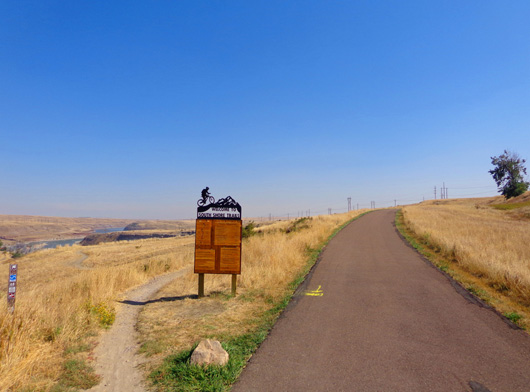
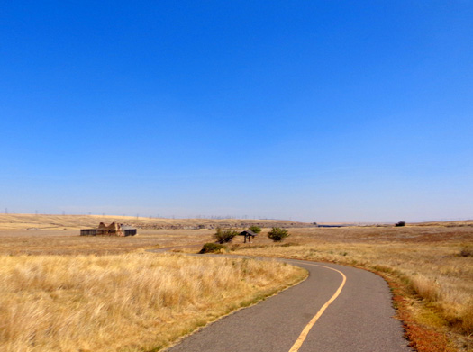
The dirt
trails start here; the paved trail continues to the right for a couple
miles to Crooked Falls.
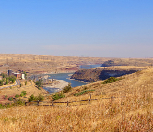
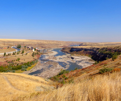
It's interesting to compare of photos from the
end of May and now. The terrain looks much different now in the fall
than it did in the spring, especially through the hilly grasslands to
the north:
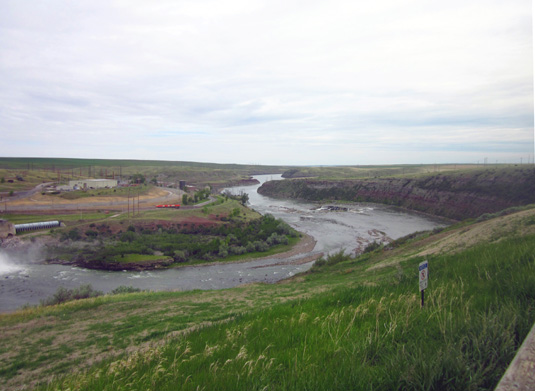
Curve
between Rainbow Falls and dam (left) and Crooked Falls on May 31
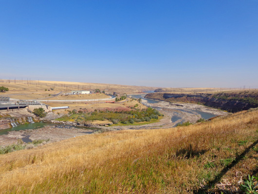
View this week of
same curves in the river; the water level is much lower now.
As much as I like green, the golden grasslands are more striking
against a brilliant blue sky in autumn.
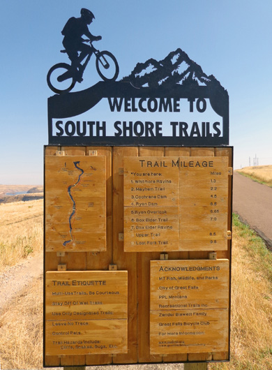
NORTHEASTERN SECTION OF THE
BIKE PATH
Here's a diagram of the bike path from an interpretive panel:
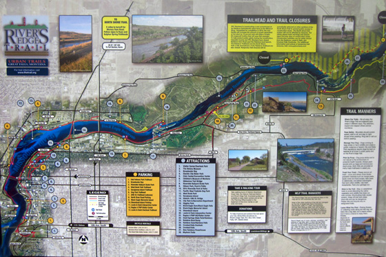
You can find a larger version of the map
here.
Most of this paved bike/hike path is very scenic, particularly on the
more hilly and rural northern section beyond the Lewis & Clark National Historic
Trail Interpretive Center and Giant Springs Heritage State Park:
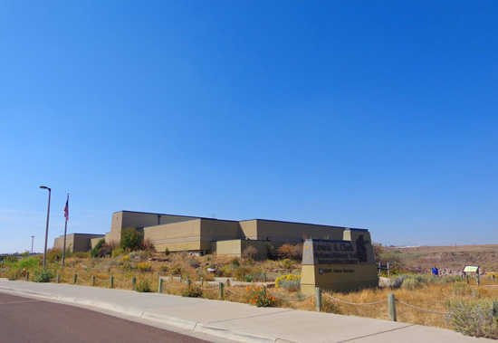
Lewis & Clark Interpretive Center
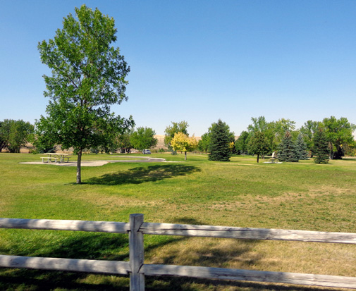
Giant Springs Park as seen from
the bike path; this grass is still mostly green.
The grasslands just north of the
park are gold now. The base of a roaster stack (left, above)
is all that remains of 75+
buildings at the former site of a silver smelter from 1888-1902.
This portion of the bike path is higher above the river and sometimes farther away from
it through the grasslands, but trail users still have views of the river
most of the way.
There are also
excellent views of Rainbow Falls/Dam and Crooked Falls. I took all these
photos either from the bike path or the Rainbow Overlook, which is a
little closer to the river.
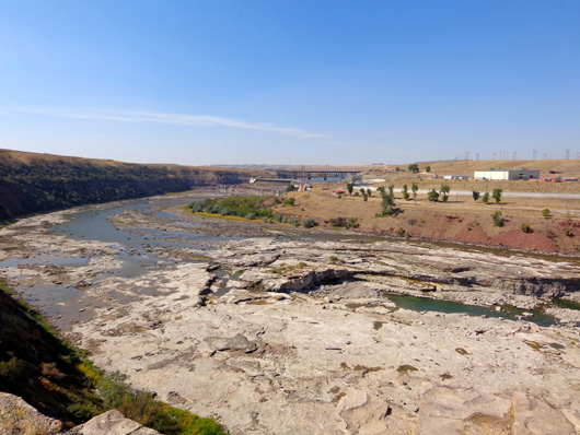
The next six photos
show different views of Rainbow Falls and Dam:
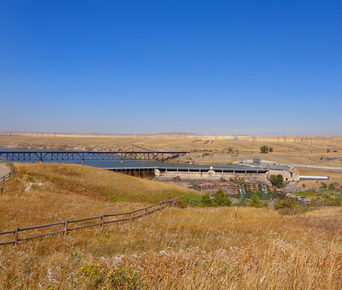
There is much less water in the river now than in May.
There is usually less at the end of summer but there's also a
human-engineered reason right now for the low levels. I'll explain in a little while.
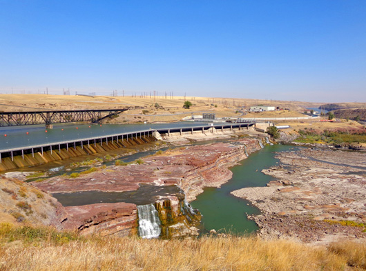
Note all the poles carrying water-generated
electricity from the power plants along the river:
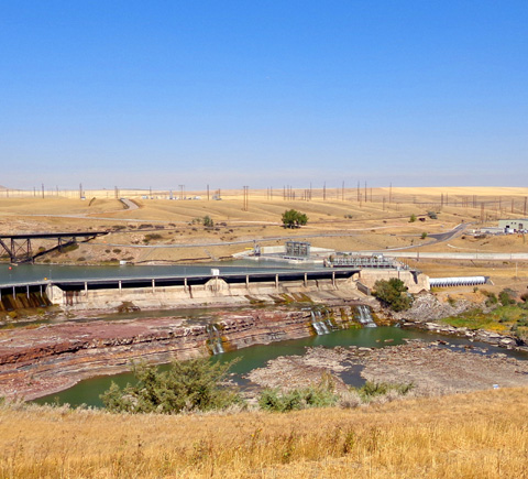
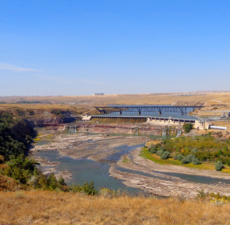
Crooked Falls is about half a mile downstream (north
of) Rainbow Dam:
Note the dirt trail foreground, left; it's part of
the south shore hike-bike trail system.
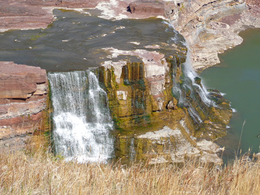
The horse-shoe shaped falls is the
only one of the five falls in Great Falls that isn't mostly straight
across, hence the name "crooked."
The U-shape is easier to see in
pictures where the river is full of water than when it's very low:
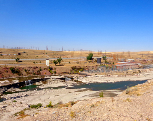
The power plants are not very attractive, nor are the oil tanks
across the river on the way downtown -- but these signs of industry are easy to ignore if you
focus on either the Big Scenic Picture or interesting small things in the water (like
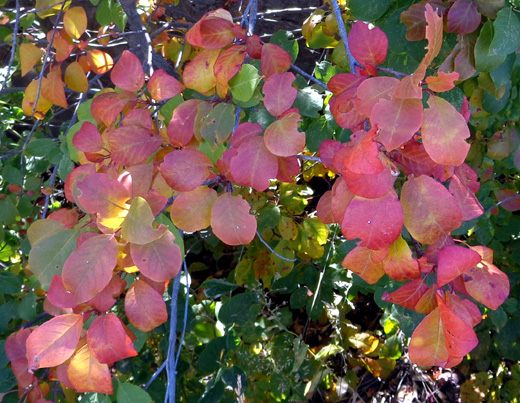
all the birds) or close to the bike path (colorful leaves and flowers, e.g.):
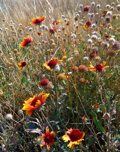
Waning Gaillardia flowers
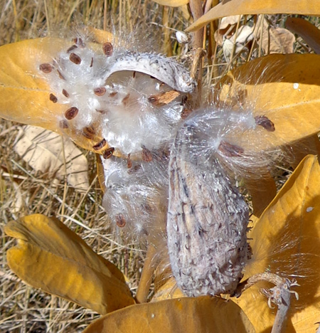
Nature's way of ensuring new milkweed plants next year
Continued on the
next page: photos from the southwestern
part of River's Edge Trail
Happy trails,
Sue
"Runtrails & Company" - Sue Norwood, Jim O'Neil,
and Cody the ultra Lab
Previous
Next
© 2012 Sue Norwood and Jim O'Neil
