This large spring is now known as
Giant Spring. For a person who's a bit anal
about proper grammar and spelling, it was all I could do to type Clark's
quote without correcting all the errors!
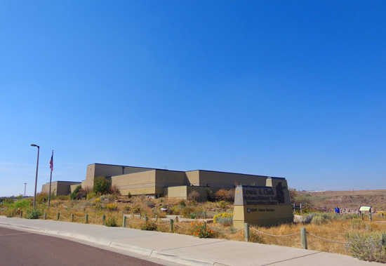
I copied it from a brochure I picked up at the Lewis & Clark National
Historic Trail Interpretive Center, which includes a beautiful visitor
center, Giant Springs Heritage State Park, a state fish hatchery, and a
paved interpretive trail along the edge of the Missouri River.
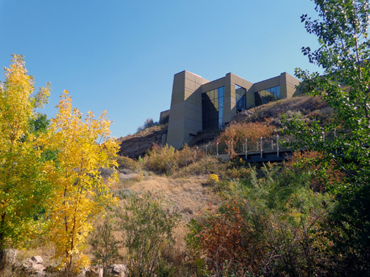
View of the handsome visitor
center from the interpretive trail along the river
All the members of the Corps of Discovery were under a whole lot of stress in
their arduous exploratory journey west, so I don't mean to be critical
of something as comparatively trivial as grammar and spelling.
One of their bigger challenges was dragging all their boats and supplies
overland around Great Falls' five major waterfalls. Giant Springs is
located between what are now called Rainbow and Black Eagle falls.
This was the first time we've been on the interpretive trail next to
the river or to Giant Springs Heritage State Park. I'm happy to share
photos of both in this entry, plus some dirt trails I found on the
hillside between the park and visitor center.
LEWIS & CLARK INTERPRETIVE TRAIL
We enjoyed visiting
the handsome Lewis & Clark National Historic Trail Interpretive Center
in May so I went back again today.
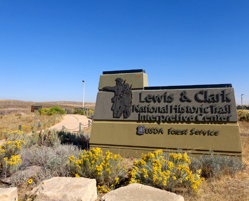
There is a small entry fee to browse the exhibits. Because it is a National Forest
Service site, entry is free with any kind of National Park Service pass
(annual, senior, etc.).
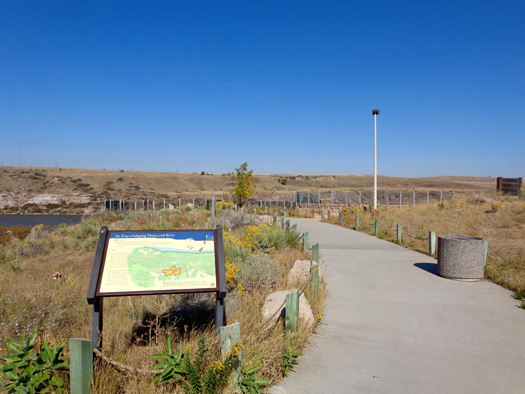
If you don't want to go inside you can walk around the side of the
building to the courtyard and down a bunch of steps and a long ramp to
the river level for free and enjoy the paved interpretive trail
that runs both south (upstream) and north (downstream) of the visitor
center.
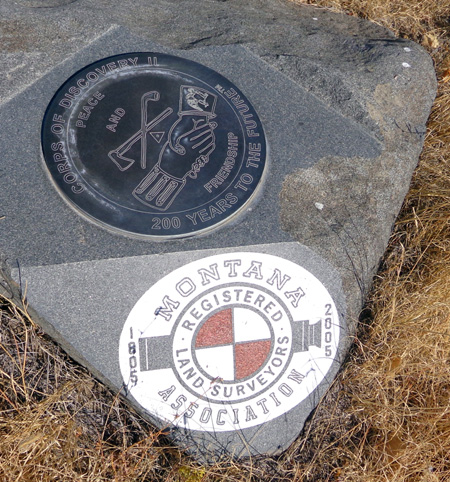
Markers commemorating the 200th anniversary of the
Corps of Discovery's success
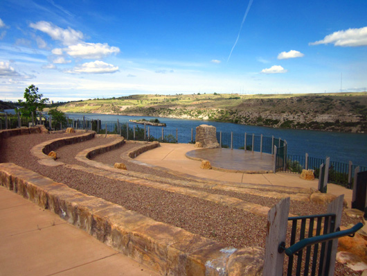
Spiffy amphitheater above the river (I took this
picture on June 1).
View up the Missouri River from the courtyard
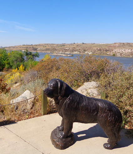
Seaman, Capt. Meriwether Lewis' large black Newfoundland
dog, was the only
animal in the party to complete the entire expedition
across the continent and back.
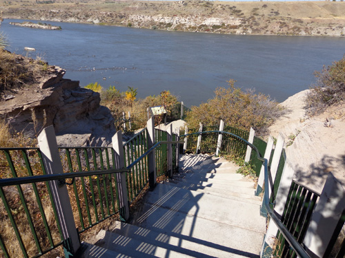
Steps going down to the interpretive trail
The steps lead to a long paved ramp that gradually descends to the path along the river.
Folks who are unable to maneuver the steps can access the ramp from inside the
visitor center.
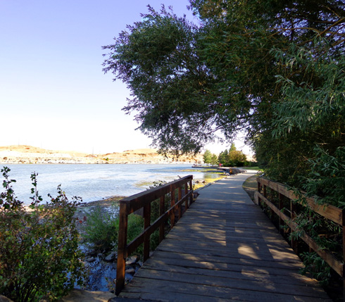
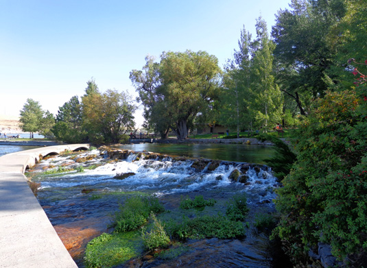
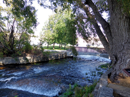
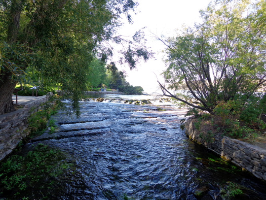
The interpretive trail is paved and wheelchair-accessible for about 1/2
mile south and a bit more than a mile north to Giant Spring. There are lots of
nature, geology, and history panels to read all along
the way.
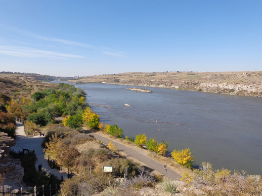
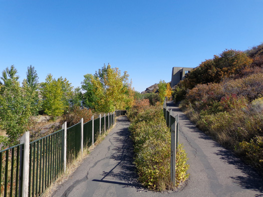
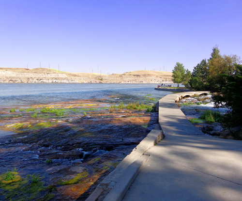
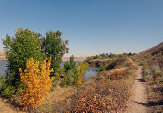
Here are some photos along the interpretive path as I walked south along
the river (upstream).
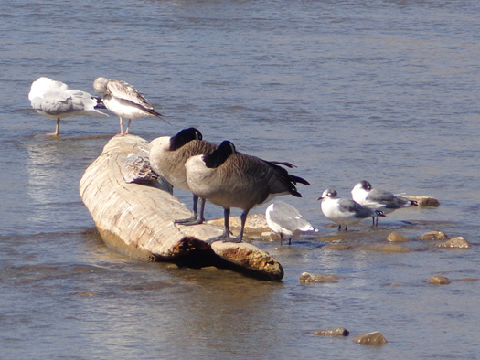
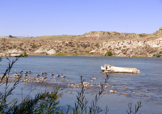
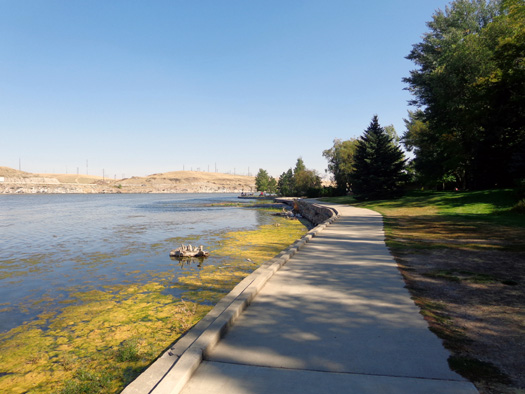
A lot of birds that either live here year-long or are migrating south
were using the islands created by the low water in the river this week
to hunt for food:

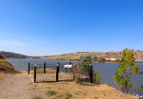
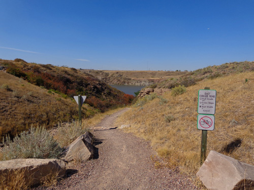
After about half a mile the pavement ends.
A wide gravel trail continues up
to a parking area for another half mile, with a spur trail going down to
an overlook:
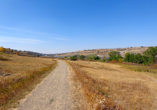
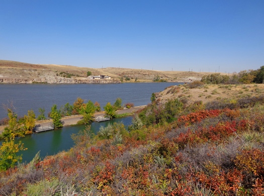
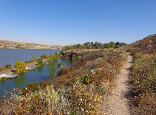
A dirt trail continues even farther south along the riverbank. There is
another dirt/gravel trail on the hillside, paralleling the river.
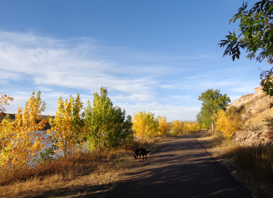
The next photos along the interpretive trail begin below the visitor
center and continue downstream (north) toward Giant Spring:
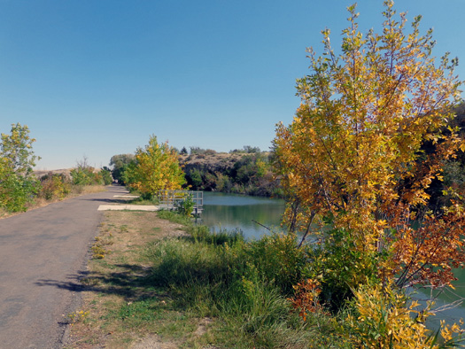
Small fishing pond/lagoon between the cliffs and the river
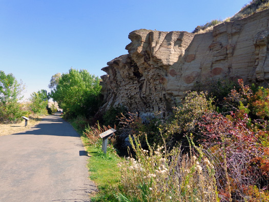
One interpretive sign describes the geology of
these cliffs; another tells about the
ultra-distances cliff swallows can migrate -- from the Arctic to
the tip of S. America.
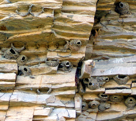
Little nests built into the rock wall by cliff
swallows
WHAT A COOL SPRING!
"Cool" both as in "kewl" and as in rather chilly water.
This is not a hot spring.
You can access Giant Spring Heritage State Park by vehicle from Giant
Spring Road up on the hillside or by foot or bike on the riverside
interpretive trail.
Jim and I both entered the spring area from the trail
today.
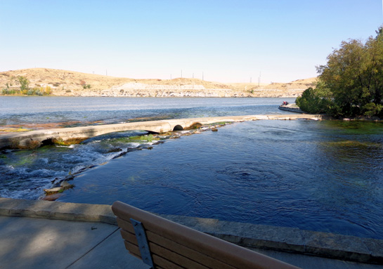
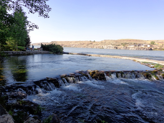
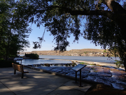
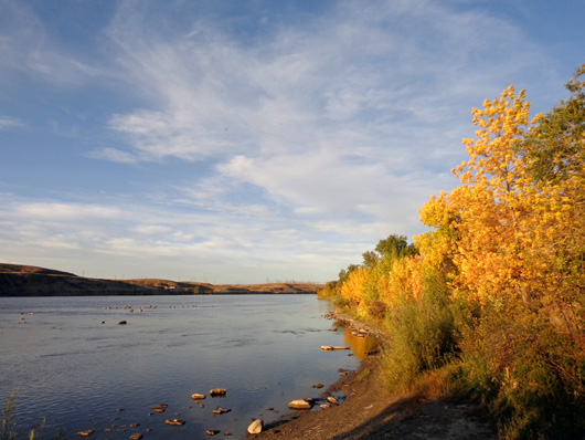
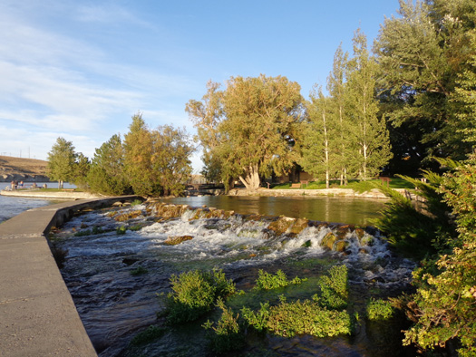
This freshwater spring is one of the largest in the country, flowing 156
gallons of water each day. Its crystal-clear waters, emerald-green
vegetation, and constant 54 F. temperature make it a photographer's delight.
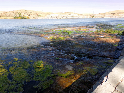
Visitors can walk all around the spring. Here are some different angles:
It was interesting to
read the interpretive panels about the geology and history of the spring
and the water that flows from it in one of the world's shortest rivers.
The Roe River
flows only about 200 feet from the springs down to the Missouri River:
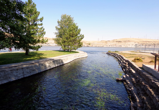
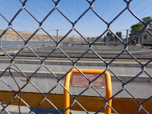
The Roe River gets its name from the fish raised in the state hatchery at this
location. Roe are fish eggs. The hatchery raises Kokanee salmon and
several varieties of trout:
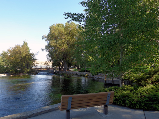
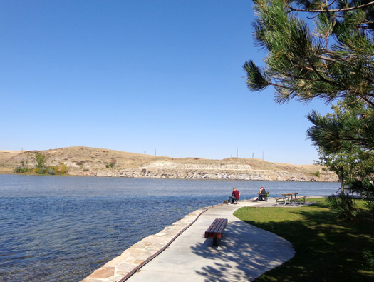
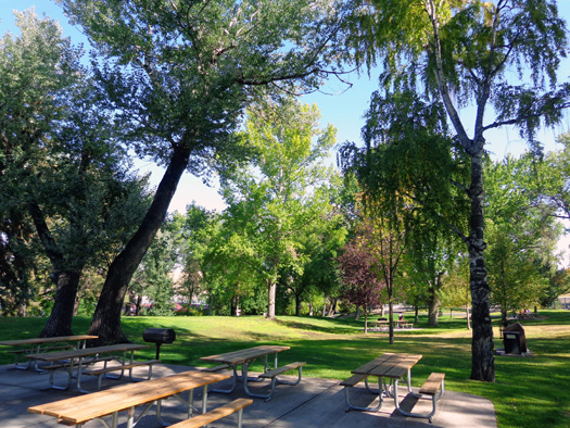
A peninsula of land juts out into the river; it's a
popular spot for fishermen and a great place for a
picnic:
Looking back to the walkway and low retaining wall between the spring and
the Missouri River:
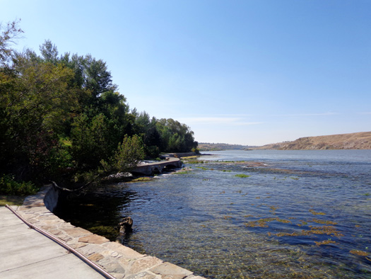
I was mesmerized by the springs and the beautiful grassy setting nearby
with huge cottonwood trees:
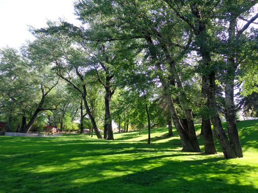
I'm glad I found this park. I loved it!
OTHER NEARBY TRAILS
As I climbed higher through the picnic area to look around I saw a
trailhead for a dirt single-track trail that is open to hikers and
cyclists. It winds through the grassy meadow
above the river cliffs, paralleling the lower paved interpretive trail:
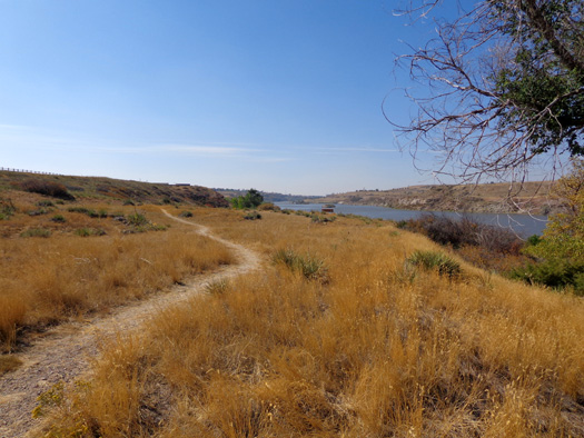
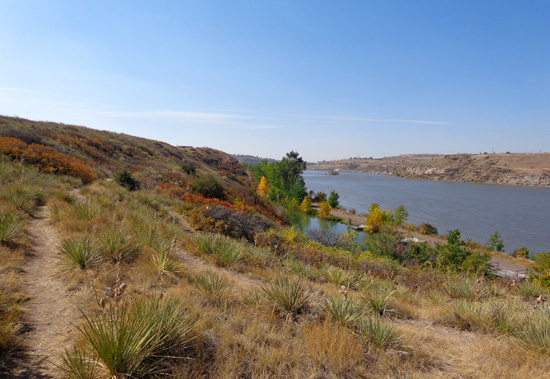
I enjoyed the views of the river and fishing pond below:
This undulating trail remains high and goes about a mile
back to the visitor center. There is also a steep, rough spur with a 20%
grade down to the river:
Bikes aren't allowed on that short trail.
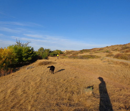
SPRINGS, TAKE #2
The springs are so beautiful that I encouraged Jim to go see them in the
evening when it was cooler. I also wanted to take Cody on the trail below the
interpretive center so he could get into the river.
After supper Jim rode his bike from the campground to the River's Edge bike path along
the river. I took Cody in the truck and got there a little bit earlier;
we were already down by the river when Jim arrived. Cody ran out to
greet Jim:
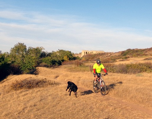
There were more people walking, cycling, and fishing this evening than
there were this morning. Cody got to swim in both the river and the little
lagoon between the interpretive center and park (no one was fishing
there). He also got to greet some other large dogs who were walking
their owners.
Jim rode out and back on the interpretive trail to Giant Springs on his
bike while Cody and I walked there. Jim enjoyed walking his bike around the spring
and looking at the fish in the hatchery.
The lower light in the evening emphasized the color of the yellow and
gold leaves and made the springs look a little different:
Jim agreed that the spring is a pretty cool place.
We encourage anyone visiting Great Falls to walk or ride the River's
Edge Trail and interpretive trail and visit both the Lewis & Clark
visitor center and Giant Springs Park.
Next entry: heading to Ellsworth Air Force Base in
Rapid City, SD for some R&R in the Black Hills area
Happy trails,
Sue
"Runtrails & Company" - Sue Norwood, Jim O'Neil,
and Cody the ultra Lab
Previous
Next
© 2012 Sue Norwood and Jim O'Neil
