Continued from
page 1.
FROM THE UPPER TO THE LOWER FALLS
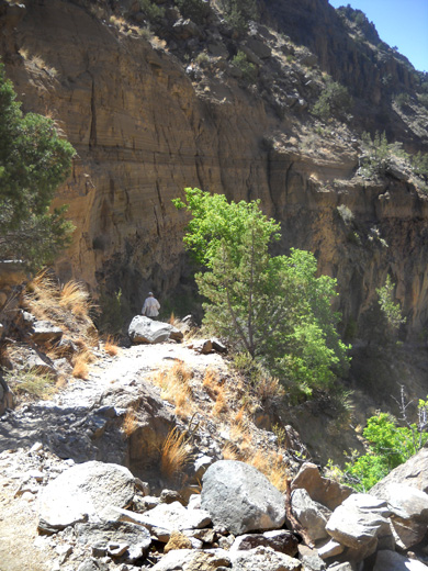
As you can see from some of the photos near the upper and lower falls, the trail sometimes follows ledges high above the creek.
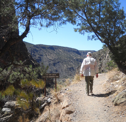
The sign reads, "For your
safety, stay on designated trails."
The biggest danger on the Falls Trail is slipping off a cliff in places where the
trail is narrow and hugs the edge of steep canyon walls. This is not a
good trail for small children or people who are afraid of heights.
The Upper Falls is about 1.5 miles from the trail head. The trail
drops 400 feet in elevation to reach the falls.
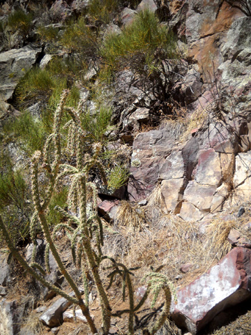
I enjoyed going through the different plant zones along the trail,
from lush green deciduous trees and shrubs to dark green ponderosa pines
and gnarled junipers to several kinds of thorny cacti.
As the trail drops to the river, the environment gradually becomes
hotter and drier. Plants along the second half of the trail can tolerate
the hot, arid surroundings. According to the trail guide, the 700-foot
change in elevation between the visitor center and canyon bottom means
that spring arrives at the visitor center about two weeks after it
arrives closer to the river. In the fall, leaves change color about two
weeks apart, too (i.e., earlier at the higher elevations).
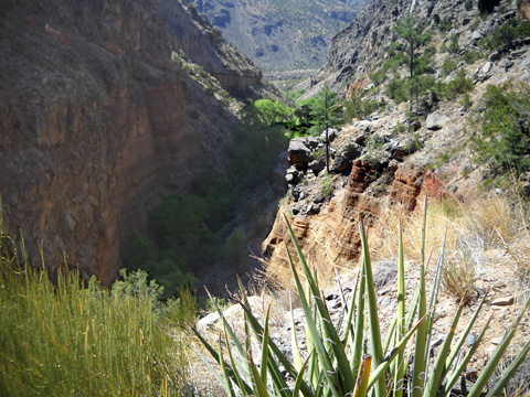
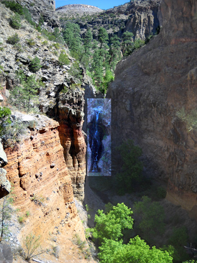
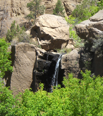
Halfway down the first set of switchbacks we could get
our first view of the Upper Falls, which plummet 80 feet into the
canyon. I highlighted the falls in the photo below:
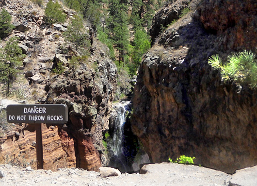
The falls were not very big today, probably because of the drought,
and it was difficult to take photos of them because of all the shade in
the canyon both outbound (above) and on the return (below) when the sun
was higher:
We didn't try to go over to either of the falls to get a closer look; that's not encouraged and I didn't see any obvious paths to
reach the bottom of either falls.
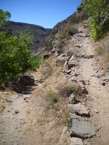
The trail continues down another 200 feet in elevation over 1/4 mile to the Lower Falls and
becomes increasingly rocky:
There are more switchbacks here but the grade is steeper than going down
to the Upper Falls:
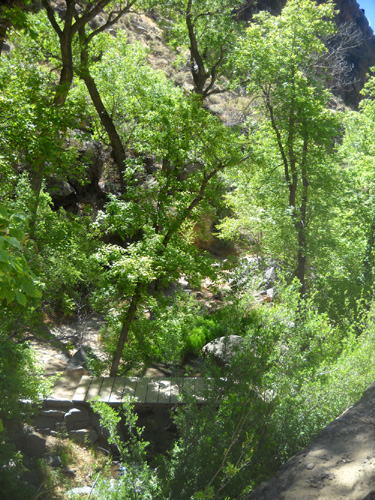
We found another leafy glade and bridge across the creek a little bit
above the Lower Falls:
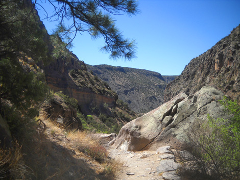
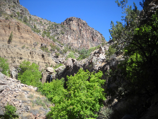
Then we popped back out into the open again and followed the
rocky trail down:
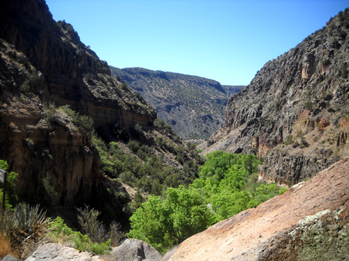
Another view of the Rio Grande in the distance
The Lower Falls is harder to see when the leaves are out. It's just to
the left of center in the next photo:
Here's a close-up from that picture, since we didn't see a trail to walk
closer to the falls itself:
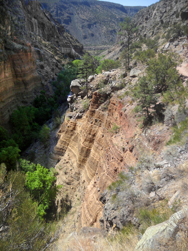
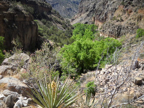
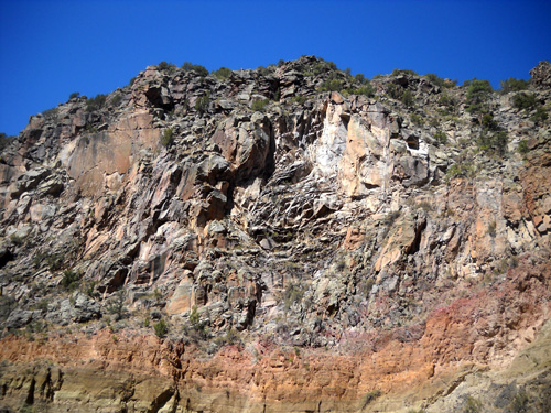
I was fascinated with the rocks in this section of trail and I've
included several photos of them in this series (some are on the last
page as I hiked back up).
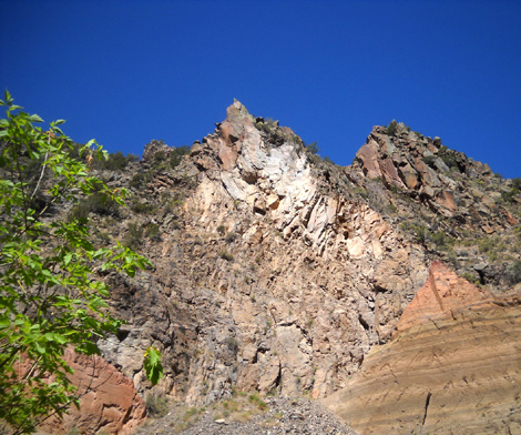
According to the guidebook for this trail, the talus slope below is
formed primarily of debris from lava flows and maar deposits. As the
basalt lava solidified, cooling cracks called "columnar joints"
developed. The cracks form block-sized hunks of basalt that eventually
tumble down slope, forming the talus. This particular rock fall occurred
in 1942:
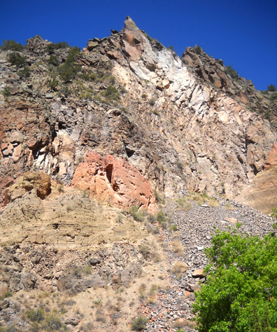
A similar wall farther down the trail:
Then we approached another green leafy glade and crossed the creek on
stepping stones. A flash flood washed out the bridge that used to cross
the creek and it hasn't been replaced.
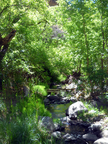
As you can see, there isn't very much water in the creek. No wonder the
falls aren't very spectacular right now.
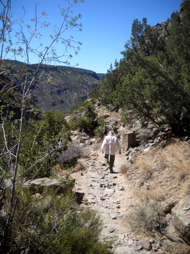
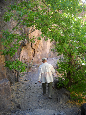
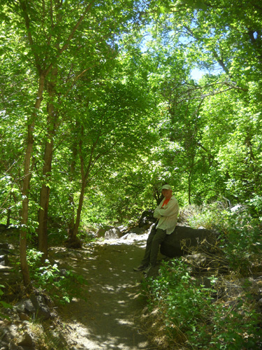
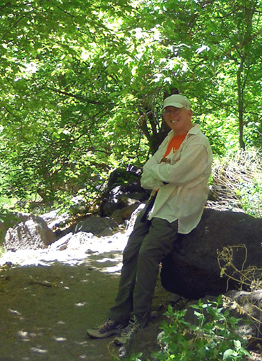
Ah! There's my sweetie, taking a break in the cool shade near the creek
while he waits for me to catch up:
Next page: the lower canyon to the river
Happy trails,
Sue
"Runtrails & Company" - Sue Norwood, Jim O'Neil,
and Cody the Ultra Lab
Previous
Next
© 2011 Sue Norwood and Jim O'Neil
