Continued from
page 2.
THE LOWER CANYON TO THE RIVER
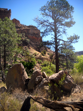
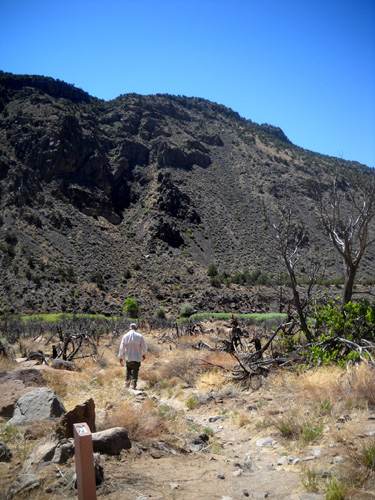
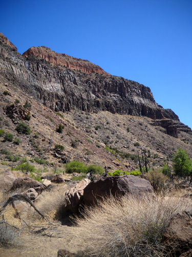
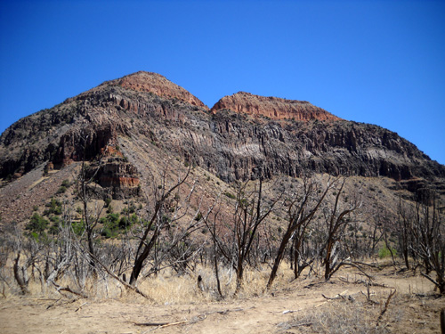
The trail from the Lower Falls through the canyon to the river is more
gradual, dropping only 100 feet in 3/4 mile. It gradually becomes more
smooth, too.
There was one last hop across Frijoles Creek on stepping stones:
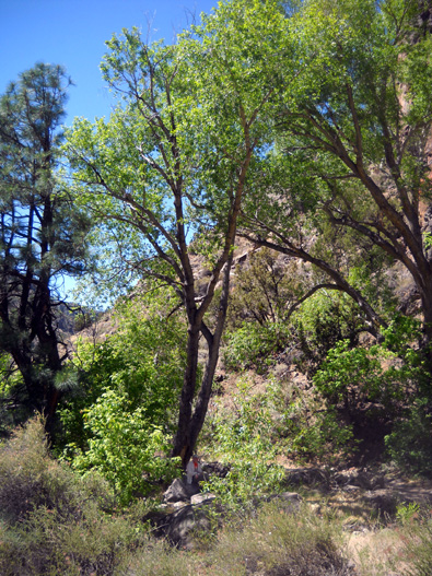
Can you see Jim sitting in the shade waiting for me again?
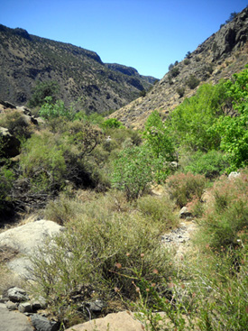
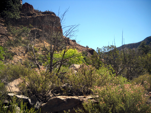
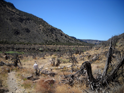
Although the lower canyon gets very hot and dry, there were quite a few
trees and shrubs here. I was surprised how green it was:
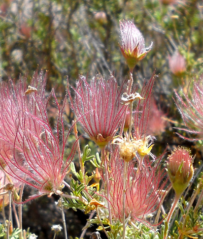
And PINK!
In the photo above, Jim's behind a pink-flowering shrub called Apache
Plume. There are a bunch of these along the trail the last half mile to
the bluff overlooking the river, and I couldn't stop admiring them!
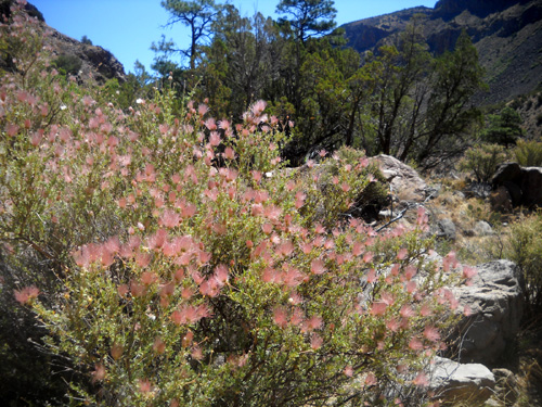
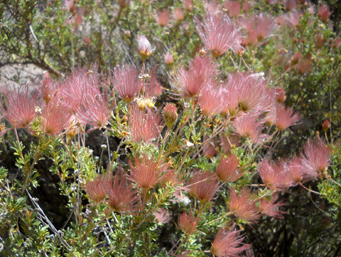
Actually, the fluffy pink bundles contain seeds and aren't really
flowers. Apache Plume is a woody shrub with small white flowers, but the
pink fluff is more obvious. Some of the shrubs did have white blooms but
all of them had the pink seed bundles. They are very pretty in the
sunlight:
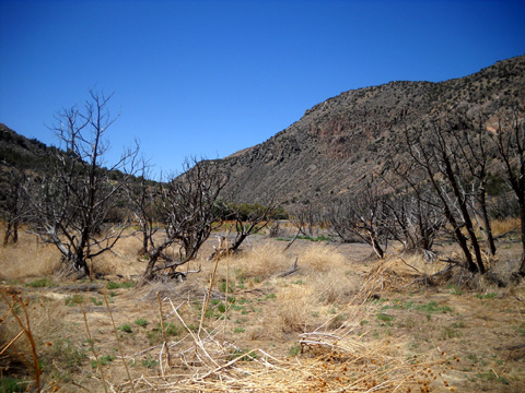
There aren't very many flowers blooming now; I'd guess that's because
of the serious drought affecting New Mexico.
The only other wildflowers besides the Apache Plume that I saw were a couple yellow Prickly Pear cactus
flowers in the lower canyon and a few shrubs with purple flowers closer
to the visitor center.
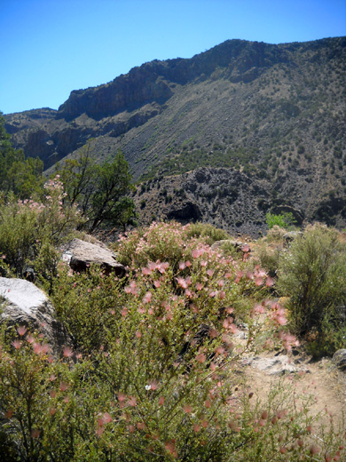
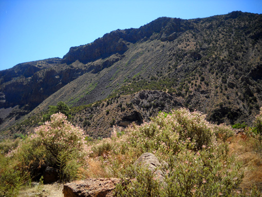
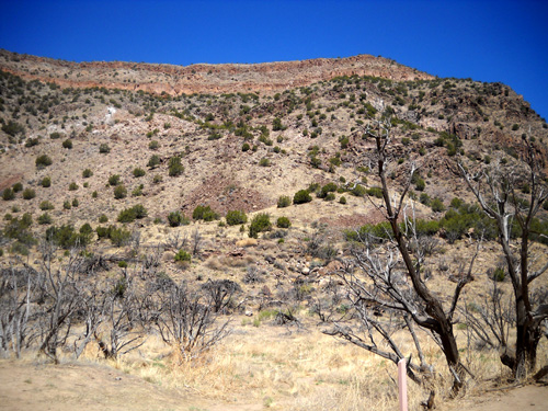
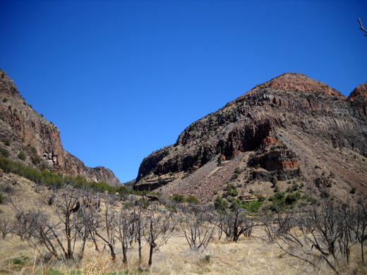
WHITE ROCK CANYON
Now we're almost to the river. It is in White Rock Canyon between this
low bluff full of Apache Plumes and those hills in the distance. The
land across the river is part of the Sante Fe National Forest, not
Bandelier:
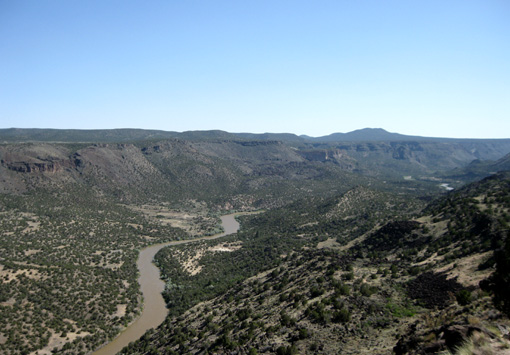
We have looked down to the Rio Grande from the top of White Rock Canyon
a few miles upstream in the town of White Rock, but this is the
first time we've gotten down into the canyon to see the river up close.
Here's a picture of the Rio Grande that I took from White Rock in May, 2009.
It is looking south. Bandelier NP is somewhere in the distance:
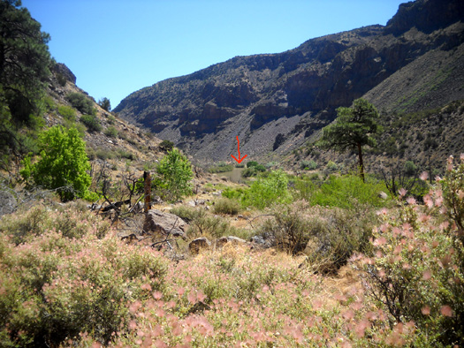
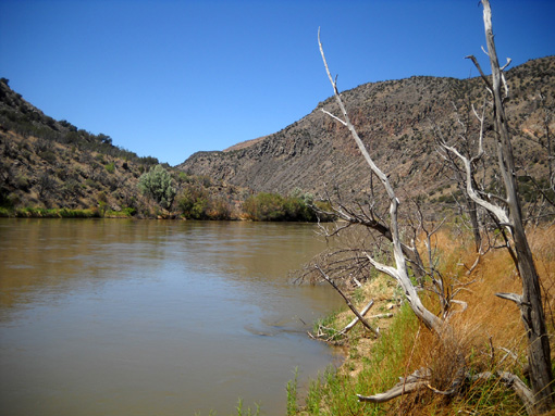
I was looking north from the Falls Trail at Bandelier when I took the next picture
from the lower canyon. I marked the brownish
water with a red arrow because it's hard to see it even this
close in such a small photo:
We weren't fully prepared for what we saw next.
Although we'd read about all the dead ponderosa pines and juniper trees
near the river, we were shocked by what we saw when we reached the last
bluff above the river and could look down on the flood plain:
The "beach" on the Bandelier side of the Rio Grande looks surreal with all the trees and shrubs that died
during an 18-month period in 1985-6 when the Cochiti Dam was allowed to
back up much higher than its usual level due to high snow pack.
Two
hundred acres of Bandelier drowned in order to prevent flooding
downstream. The high lake level in this area of the national monument
could be repeated in any year with heavy runoff.
THE RIO GRANDE
We could walk right out to the banks of the Rio Grande, which is
running fairly fast now. It didn't look like it was out of its banks,
though:
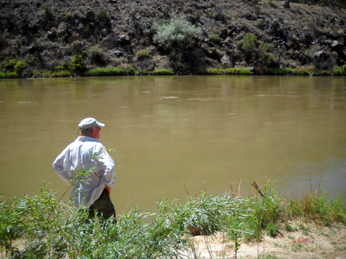
It was interesting to see the Rio Grande so big and so close. Although not as
wide as when it flows into the Gulf of Mexico at Brownsville, TX, its
size is still impressive in northern New Mexico, with many more miles to
flow until it reaches the Gulf.
I haven't seen the Rio Grande that far downstream (only to El Paso),
but I've hiked near its headwaters in the San Juan Mountains in
southwestern Colorado. When I originally hiked Segment 24 of the
Colorado Trail in
July, 2006, I forded the river a little downstream
from its headwaters on the Continental Divide near Stony Pass:
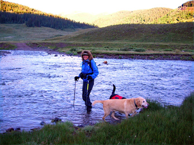
It gets big pretty fast!
The next year the CT was re-routed closer to the Continental Divide.
I hiked the new section, which is just to the east of the Divide,
and surely walked over the ground where water flows into the Rio Grande.
ASCENT FROM THE RIVER
After we watched the river for a little while we turned around and
headed back up the canyon. I took these pictures as we hiked toward the
low bluff with all the pink Apache Plumes:
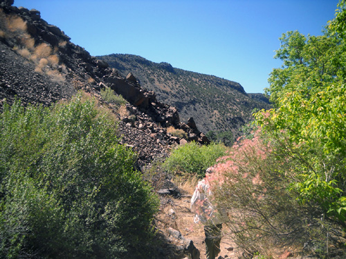
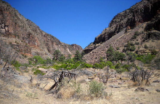
The trail goes back up through Frijoles Canyon:
The remainder of the ascent continues on the
next page.
Things look different going the opposite direction!
Happy trails,
Sue
"Runtrails & Company" - Sue Norwood, Jim O'Neil,
and Cody the Ultra Lab
Previous
Next
© 2011 Sue Norwood and Jim O'Neil
