(Continued from
Page
1 re: the Bayo Canyon trail loop)
APPROACHING THE BAYO BENCH TRAIL
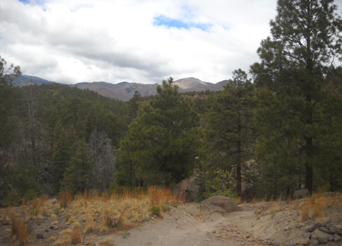
Near the top of the mesa the trail splits in two
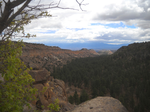
directions. Cody and I turned left, climbed a bit higher, and went out to the
overlook to peer into the canyon where we'd been hiking a few minutes
earlier:
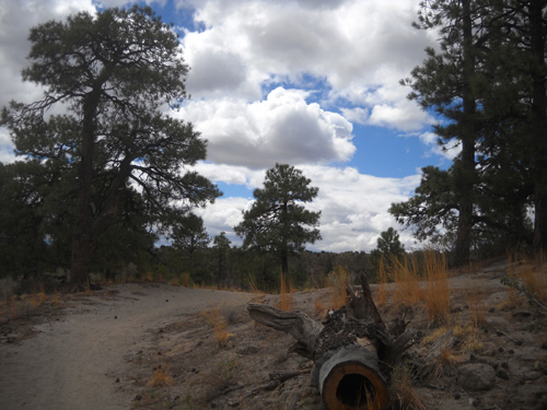
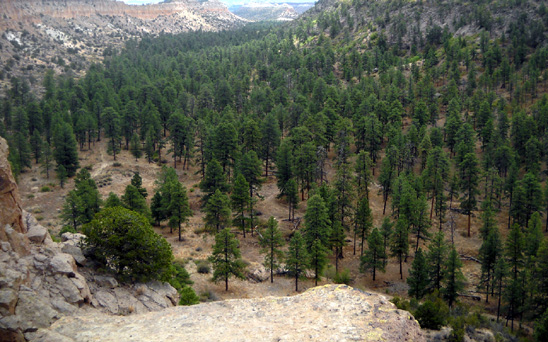
We were down there a little while ago.
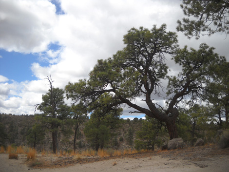
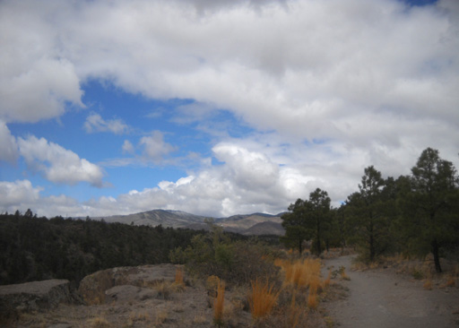
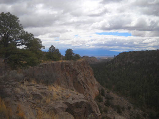
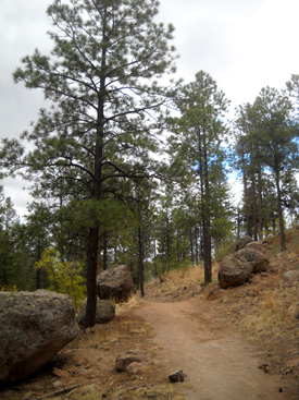
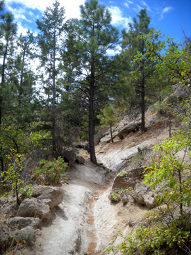
Then we turned around and walked west on the undulating Bayo Bench Trail that we hiked
with Jim a few days ago. The views are scenic in that direction, too:
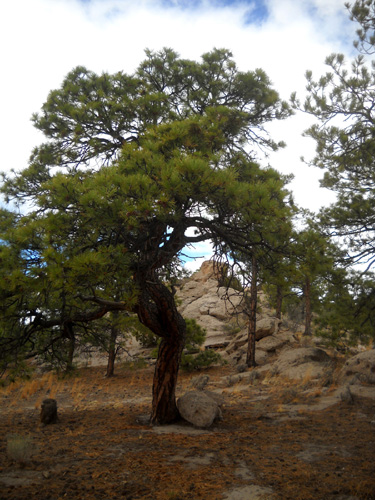
An interesting tree nearby:
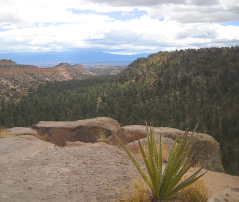
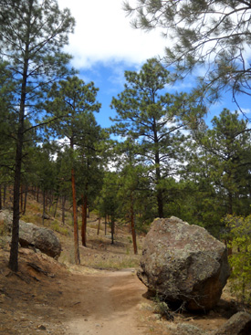
These two views look back the other direction:
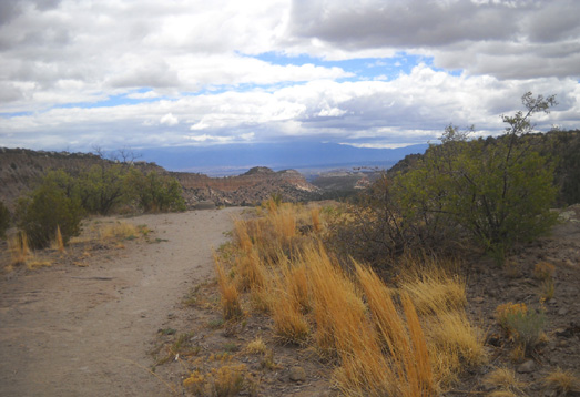
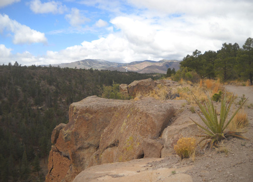
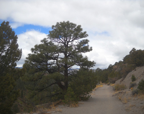
The Bayo Bench Trail is fairly flat and smooth at its eastern end near
the point:
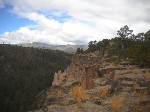
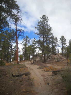
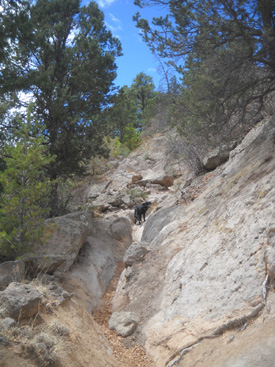
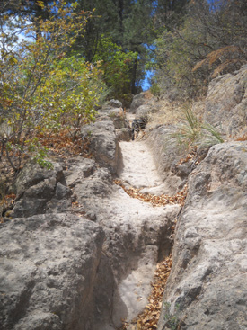
Farther on it narrows to single-track and becomes hillier and rockier:
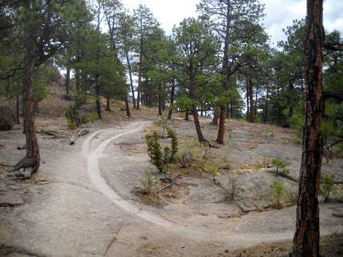
Well-worn path over soft exposed "tuff" bedrock
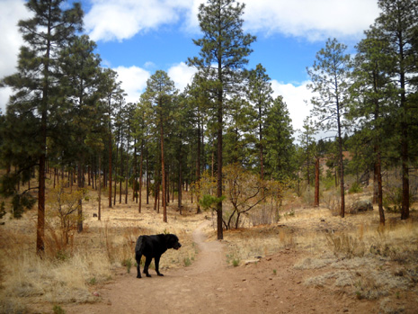
BACK ON THE BAYO CANYON TRAIL
Near the roundabout trailhead we looped back toward the east and followed the Bayo
Canyon Trail section that the runners will use tomorrow when they're
returning to the finish at the Posse Shack.
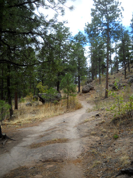
None of the course markers have been placed in this section yet (as
of noon today) but it's always well marked during the race. Here are
some photos that show this part of the course:
These pictures are looking back:
More ruts that began during the homesteading years and
have eroded further with time:
When Cody and I came to the spur trail that goes up to the Posse
Shack (and our camper), we turned right like the runners will do
tomorrow. If we'd gone straight on the Bayo Canyon Trail for another quarter mile, we would have come
to the spur trail on which we descended into the canyon a couple of
hours earlier.
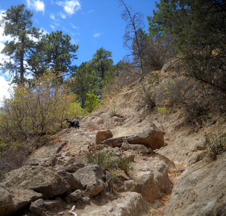
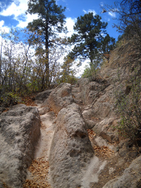
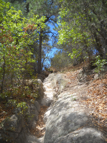
This spur trail to the stable area and Posse Shack is short but
challenging at the end of the Jemez
races with its steady climb, high rock steps, and narrow chutes. On a
shorter hike, it's just plain fun to scramble back up tot he mesa:
At the top of the climb the trail spur morphs into a
dirt road by the stables:
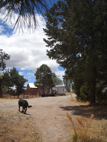
In a few yards the runners will reach North Mesa Road and turn right toward
the Posse Shack and the finish line of the Jemez races. Our camper is
across the road and to the left, just out of the picture:
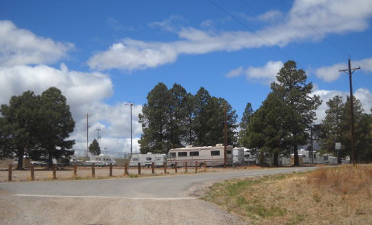
Those other campers are in the county's RV storage lot.
Cody and I had a good hike that lasted about two hours with all of our stops.
The weather stayed cool, with some glimpses of sun. Note that there are no sources
of water on this route; I carried enough for Cody and me.
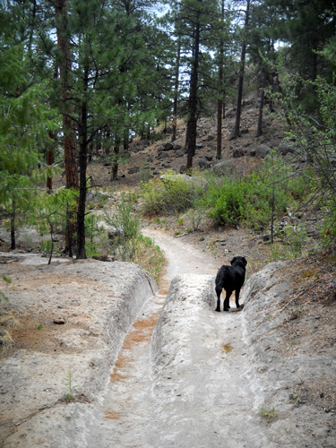
We saw very few people during this weekday hike. Other than the folks tending
to their livestock in the stables, we saw only two runners, two hikers,
and one dog in six miles. Cody was able to run free for most of the
hike.
Jim's resting up for his 50K race tomorrow. While Cody and I were
hiking he drove to White Rock to get some propane; he couldn't find any
in Los Alamos to fill one of our RV tanks. With the cold weather we've been
having the last few days, we've been ripping through more propane than
we have on our two prior visits to Los Alamos in May. Jim was able to
get diesel fuel a little cheaper in White Rock, too --
$4.17/gallon.
As if that's "cheap!" It's even worse in Los Alamos.
Next entry: pre-race volunteer activities
Happy trails,
Sue
"Runtrails & Company" - Sue Norwood, Jim O'Neil,
and Cody the Ultra Lab
Previous
Next
© 2011 Sue Norwood and Jim O'Neil
