Remember how much I enjoyed the Ice Lake basins?
Here's another set of high alpine basins -- one of many in the
San Juan Mountains of southwestern Colorado -- that will "leave
its impress" upon your soul: the area between the Twin Sisters
peaks (elev. 13,374-13,432 feet), Jura Knob (12.614 feet), and Rolling
Mountain (13,693 feet).
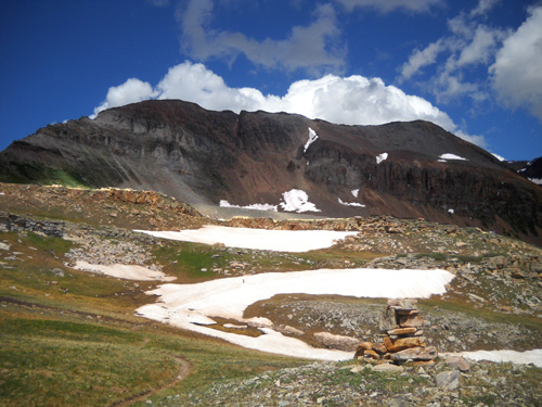
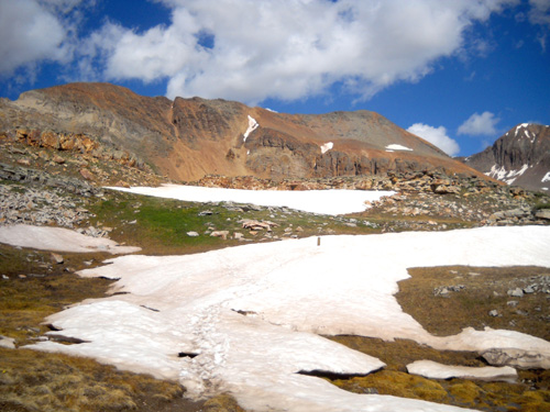
The basins sit just below those peaks at about 12,100 to 12,350 feet. Over a mile of
Segment 25 of the Colorado Trail passes through the center of the basin
area
from east to west, intersected on the east by the Engineer Mountain
Trail and on the west by the Mineral Creek Trail.
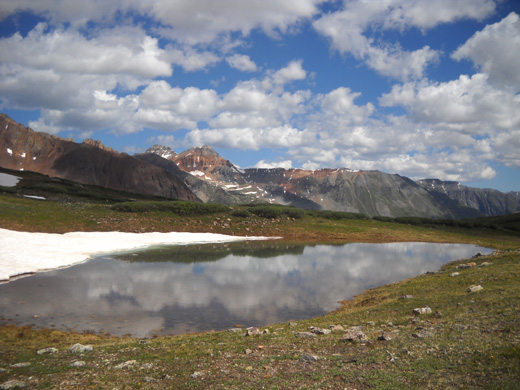
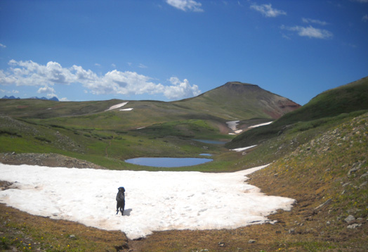
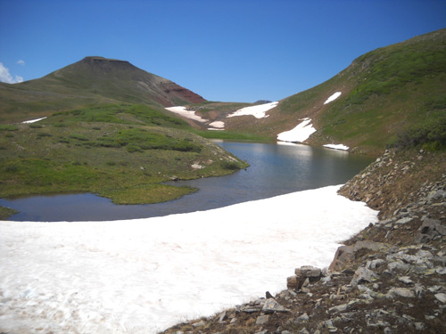
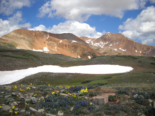
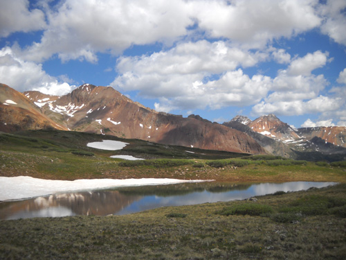
A little alpine basin lake, with Rolling Mountain
in the background
Today we explored the CT between those two trails, although I was
sorely tempted to head north a little ways on the CT toward Molas Pass
into what is called the "hanging gardens." What a gorgeous part of this
trail!
Two things prevented me from doing that: approaching storm
clouds and not wanting to keep Jim waiting too long.
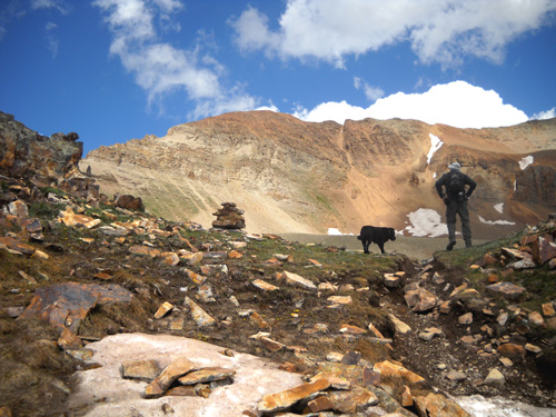
As I mentioned in the previous entry, Jim wasn't as interested in
exploring the basins as I was so when we descended from Rolling Mountain
Pass and started east on the Colorado Trail he found a soft grassy area
near some rocks where he could take a nap and wait for me to come back. Cody and I kept going on the
CT another mile or more to the intersection with the trail to Engineer
Mountain, then reluctantly turned around.
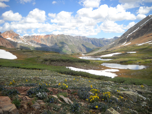
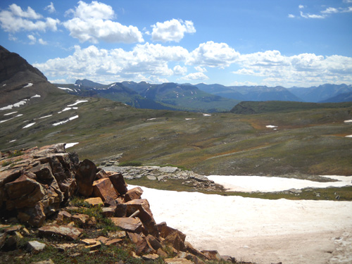
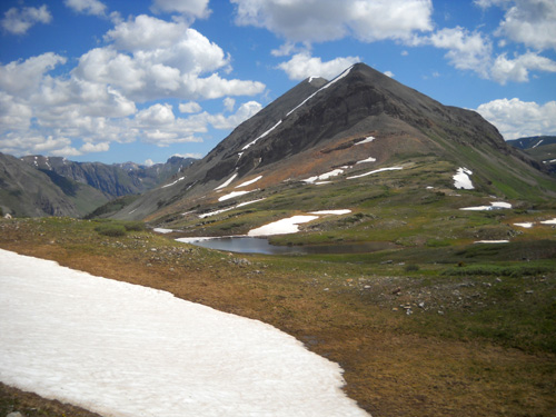
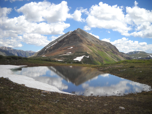
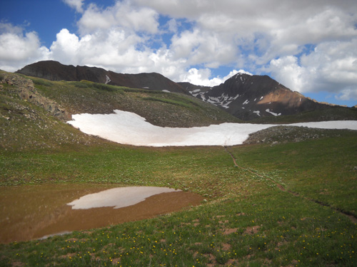
Ponds formed from snowmelt,
overlooking the South Park drainage and Rolling Mountain
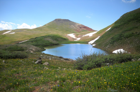
I also spent some time off the trail to walk around the little alpine
lakes for different views and to examine some of the rocks and flowers
more closely.
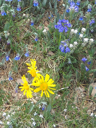
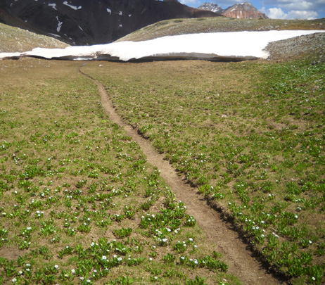
When I'm walking through the tundra like that I try not to step on
any flowers or fragile-looking plants. There were lots of mountain
sunflowers, avens, and bluebells, low mounded phlox, marsh marigolds, and other
tiny alpine flowers in bloom today:
The photos in this entry are all from the basin area, first mostly heading
east and then returning to the intersection with the Mineral Creek
Trail.
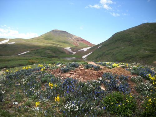
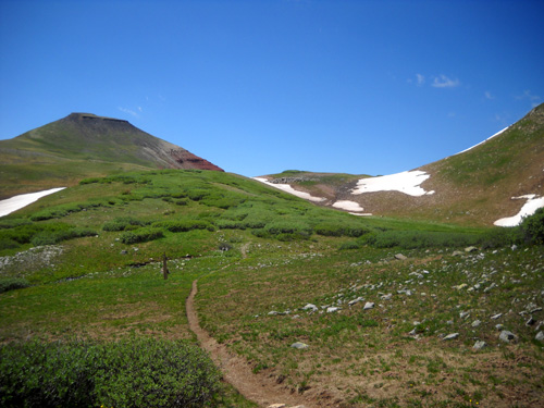
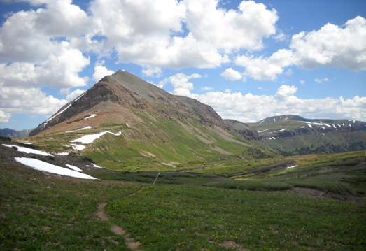
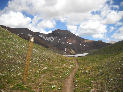
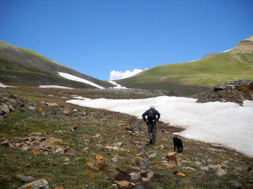
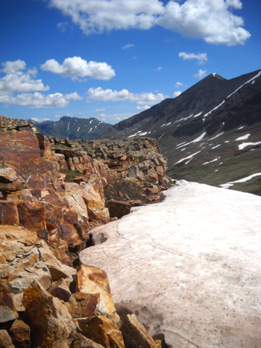
Outbound (heading east) the Twin Sisters are to the left and Jura
Knob is to the right. The trail undulates over alternately smooth
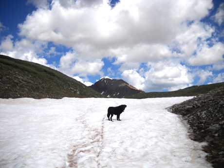
and rocky terrain -- and over some remaining snow today. There
are several rock cairns and wooden posts to mark the trail when it's
covered with snow.
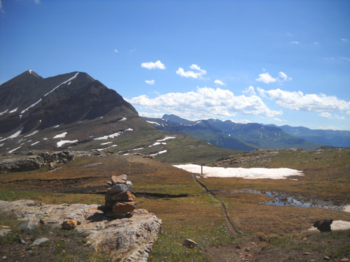
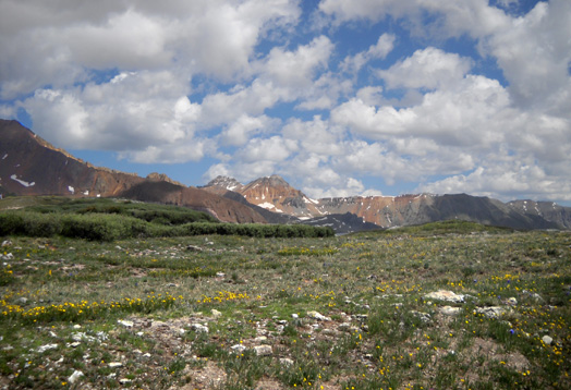
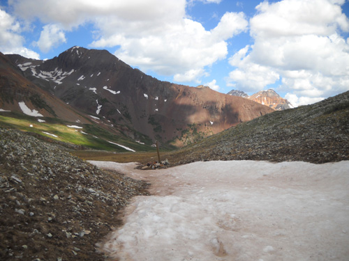
Looking north to the valley we
came up
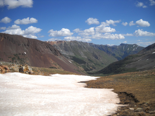
When I got to the intersection with Engineer Mountain
Trail, I took this shot toward the southeast . . .
. . . and this one to the north, where the CT slowly drops
down past the Twin Sisters and toward the "hanging gardens:"
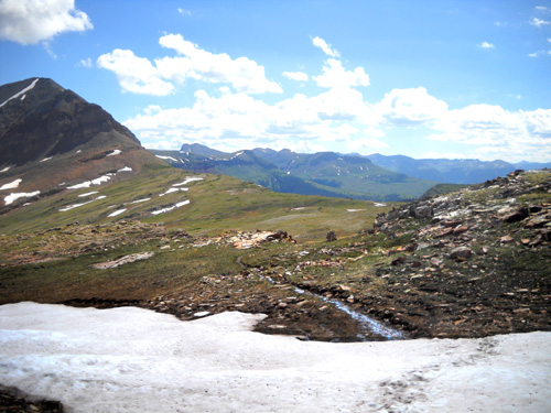
Then I turned and started back west toward Jim. These photos are
going back toward Rolling Mountain:
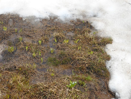
Above and below: marsh
marigolds pop up as soon as the snow melts -- or before!
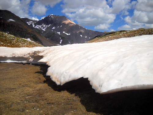
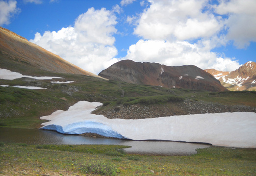
Interesting "hanging" snowbank
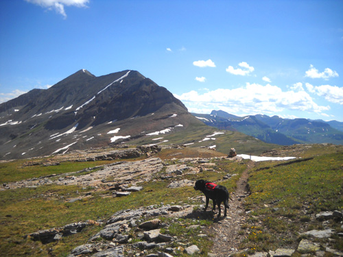
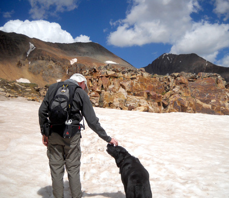
When Cody and I were about a quarter mile from the spot where we
left Jim, we saw him walking toward us. He got cold and needed
to move around to warm up. Cody was happy to see him:
Jim pointed out where he broke through a bank of snow and down into a
little creek under it. Ha! Cody and I went over that very same spot
about 45 minutes earlier and didn't fall through. I teased Jim about it.
Of course, he reasoned that we weakened the spot before he came
along . . .
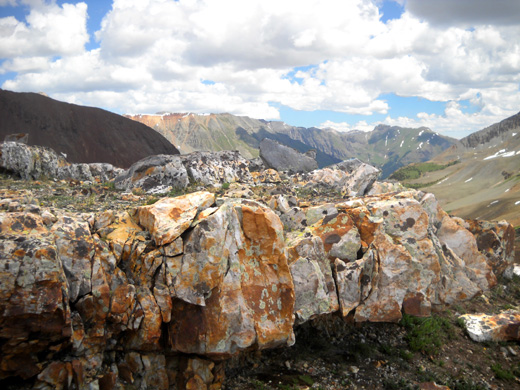
There are some very cool rock formations in the basin:
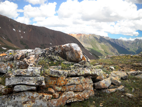
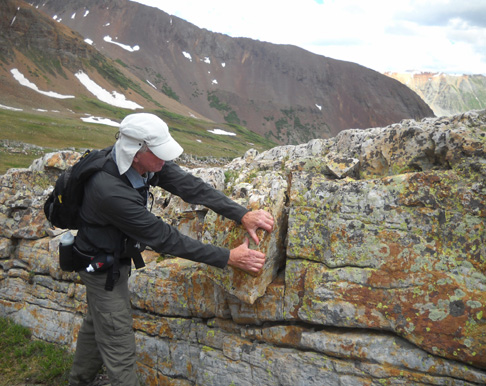
Jim's just *pretending* to move this chunk
of rock . . .
What a beautiful place for a hike! It's not quite as spectacular
as the Ice Lake basins, but it's not shabby.
If you don't have the time to see these basins and/or Rolling
Mountain Pass by doing the entire CT Segment 25 from Molas Pass
to Bolam Pass (a distance of 21 miles) or to go out and back
from Molas Pass (about 22 miles), using the Mineral Creek road
and trail is a great option for a shorter run or hike.
Happy trails,
Sue
"Runtrails & Company" - Sue Norwood, Jim O'Neil,
and Cody the Ultra Lab
Previous
Next
© 2010 Sue Norwood and Jim O'Neil
