Here's the map of the Ice Lake Basin area again so you'll know the
section I'm
talking about in this entry. I highlighted only the Lower Basin in
orange this time: 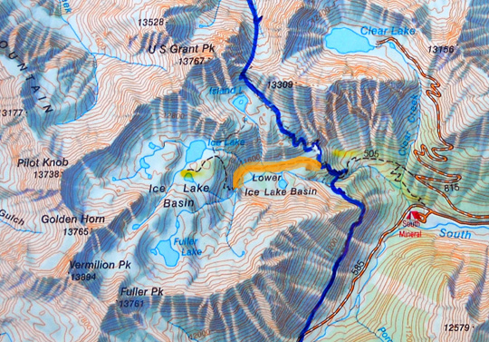
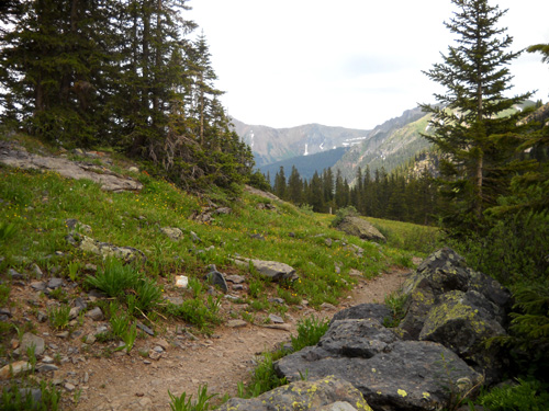
This section of the Ice Lake Trail is less than two miles long and
it is the easiest part to run or hike. As you can see, there are few
contour lines through the middle of this basin.
Most of the trail here is smooth dirt that undulates over rolling
sub-alpine terrain from the eastern end of the basin, which is a little
below timberline, to one of the creeks flowing down from Ice Lake. After
that creek crossing (which is one of several in this large drainage
area) the trail changes character abruptly. I'll describe it in Part 3.
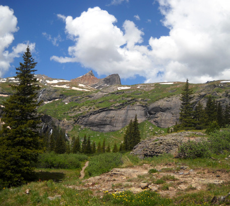
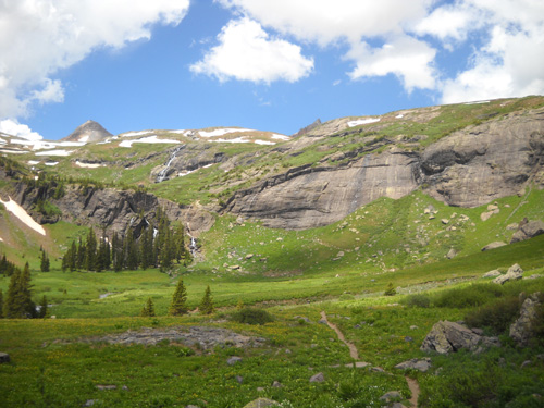
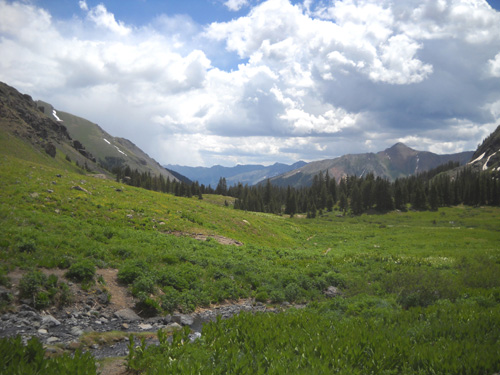
This is an overview of the large lower basin from a vantage point on
the way up to Ice Lake:
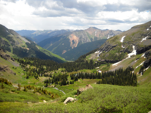
That's looking back east toward the South Mineral Creek trailhead,
although you can't see down to the road from this viewpoint.
There's a small lake in the middle of the picture above; it is fed by
streams coming from the Island Lake Basin (out of view on the left --
it's on the Hardrock course), the upper Ice Lake basins, and Fuller Peak (on the right).
The Ice Lake Trail courses through the basin toward the left in that
photo.
Here's a picture of the lake where the trail passes the closest to it:
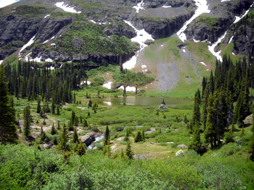
There are a few obscure trails going down to the lake. I imagine it's
a nice place to camp and/or fish but I've never gone down to it. There
are plenty of streams right along the trail through the lower basin for
people and dogs to get water.
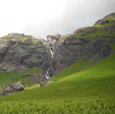
I estimate the elevation on the trail through the lower basin to
range from
about 11,200 to 11,500 feet. It undulates and rises very gradually from
east to west, then dips down to a creek before beginning its ascent past
the waterfalls at the far end of the basin. You can see that in a later
picture.
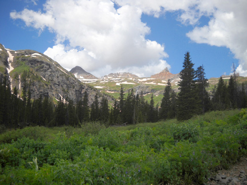
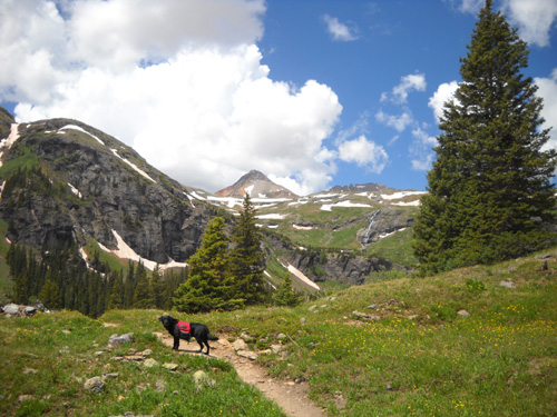
View from the eastern end of the
basin (what I call the portal, or entrance, to the basin)
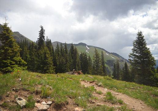
The remaining photos are pretty much in order as I hiked westbound toward
the twin waterfalls that you'll see in some of these photos. I turned
around and took photos in the opposite direction, too. Those are often
cloudy; the bluest sky was ahead of me this morning.
Sounds like a metaphor for life, eh?
A look back
The red arrow marks the lake in
the lower basin.
Another backwards glance
Looking back
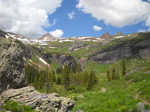
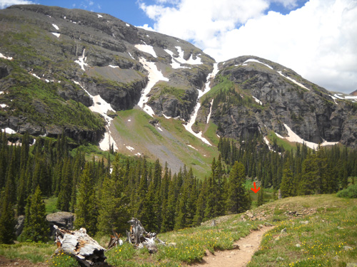
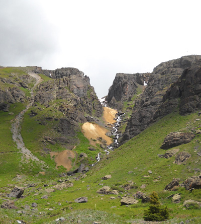
We're aiming for those waterfalls
in the center of the photo.
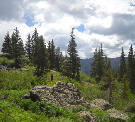
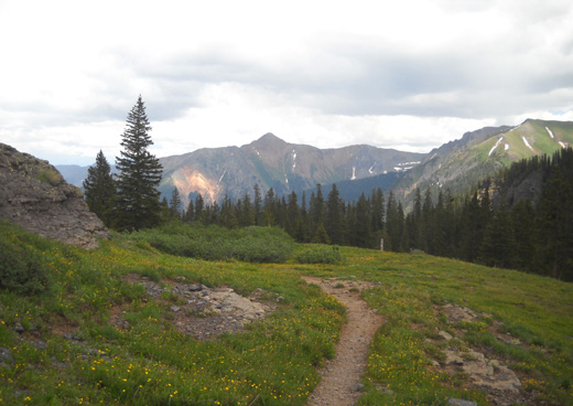
I passed a couple of hikers going
in the opposite direction.
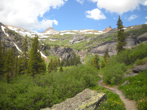
Gradually getting closer to the
falls
Dipping down to the last stream crossing in the
lower basin
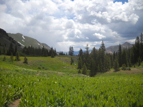
Thick skunk cabbage leaves (??) stand two to three
feet tall at the western end of the basin.
As you can see from these photos, the Lower Ice lake Basin is green and
lush this time of year. That's typical of the large alpine and
sub-alpine drainage areas in the San Juans. These mountains get plenty
of snow, and some of it is still melting. In addition, it's common in
the summer to have localized afternoon thunderstorms that can dump quite
a bit more water in a very short time.
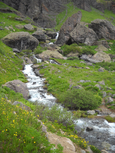
Ice Lake Creek snakes through the
center of the basin.
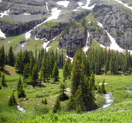
Several streams flow down from the surrounding mountains
to feed Ice Lake Creek. There are at least three interesting waterfalls
along the cliffs on the north side of the basin, with water coming from
Island Lake and Ice Lake:
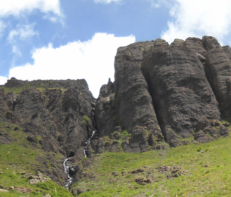
That means at least three good streams the Ice Lake Trail crosses
through the lower basin.
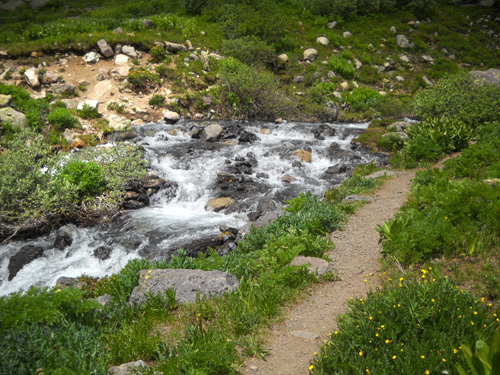
The one at the far end of the basin is the widest, deepest, and fastest-flowing.
It was about calf-deep on me where the trail crosses it. If you prefer to
keep your feet dry, choose a more narrow,
deeper place a little bit up or down stream and take a
flying leap across it:
This is a view looking upstream at that branch of Ice
Lake Creek from the far side, just before I began my climb to the upper
basins:
The lower basin is not quite as full of columbines as it was in 2007
when I ran this section of the trail for the first time but the number
and kinds of other flowers are similar to the photos I took last year on
July 6 (ten days later than now). Mountain avens,
Indian paintbrush, columbines, giant gentians, Parry's primrose, marsh
marigolds, and many other wildflowers are common in wet basins at this altitude.
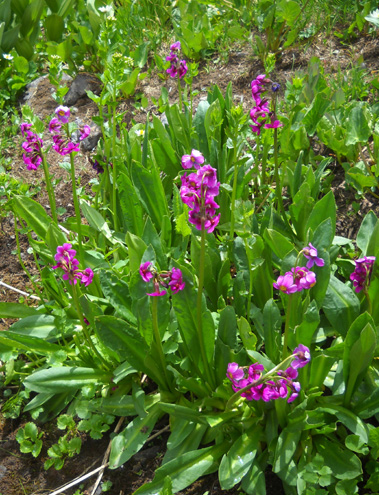
Parry's primrose
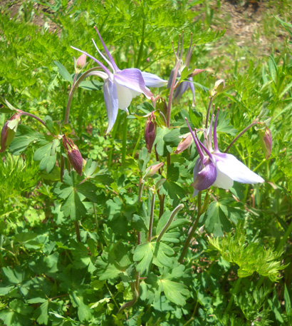
Columbines
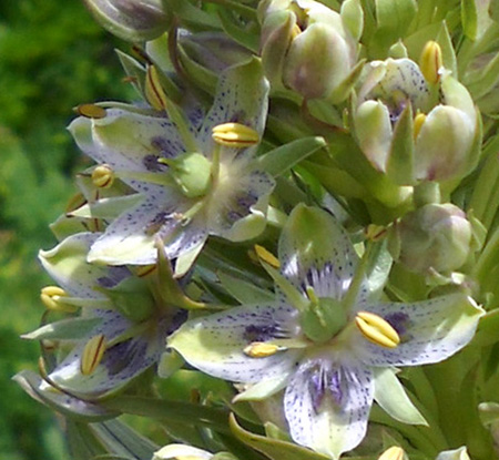
Close-up of giant gentian
With one last look across the creek, back toward the lower
basin,
now it's time to start some serious climbing again. In
Part 3
we'll switchback up past two good-sized waterfalls and head for
Ice Lake.
Happy trails,
Sue
"Runtrails & Company" - Sue Norwood, Jim O'Neil,
and Cody the Ultra Lab
Previous
Next
© 2010 Sue Norwood and Jim O'Neil
