Continued from the previous page.
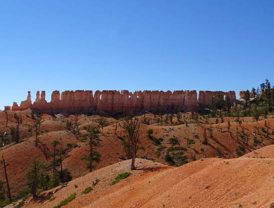
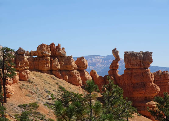
As you're walking past all those rocks in the photos
at the end of the previous page, you can
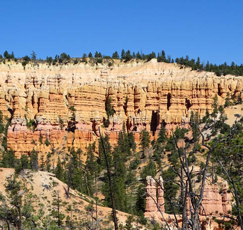
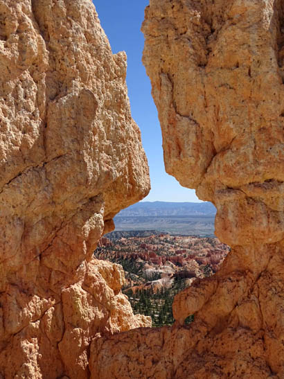
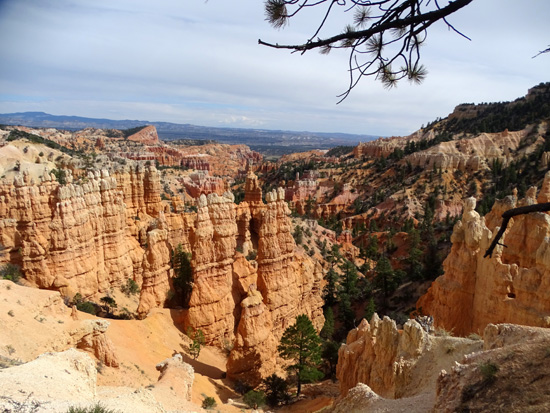
also see the China Wall formation to the south.
If you look over there several times while you're across from the wall
you can see different "windows" from different points along the
trail. The holes are easy to spot from this location with blue sky behind
them:
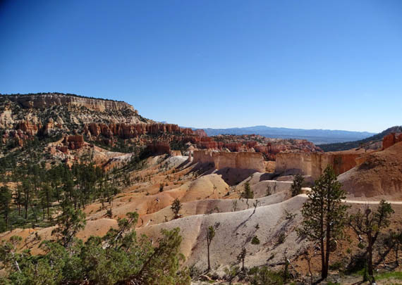
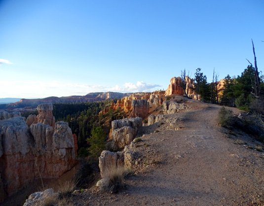
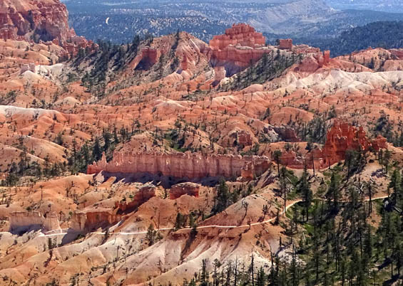
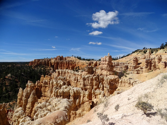
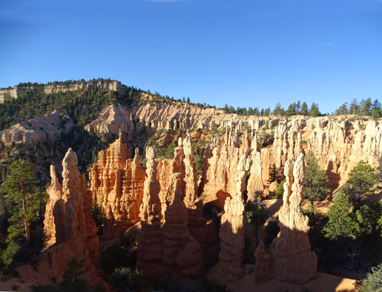
Continuing up to the rim, with interesting and colorful
views in every direction:
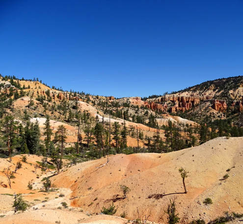
Pretty colors to the north along
the rim
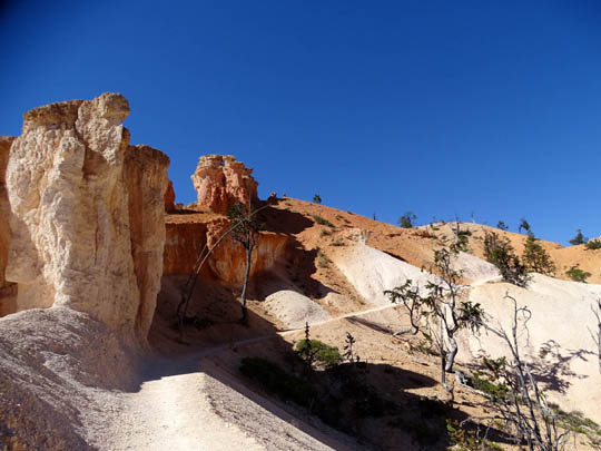
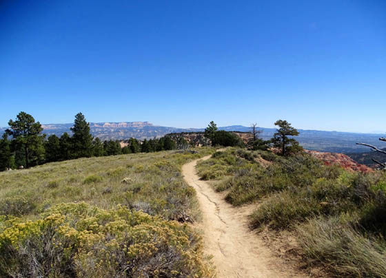
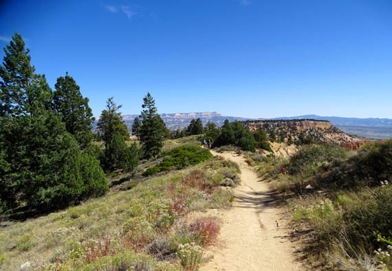
The trail ahead; white isn't snow,
just the color of the rocks and sand.
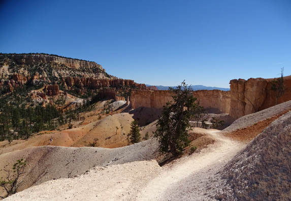
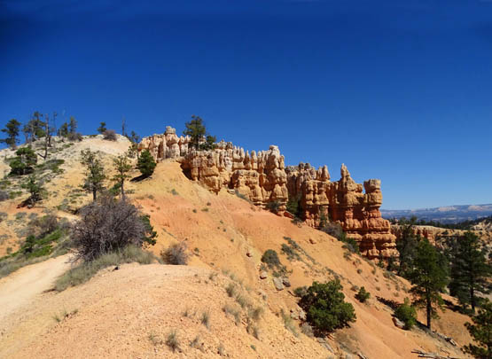
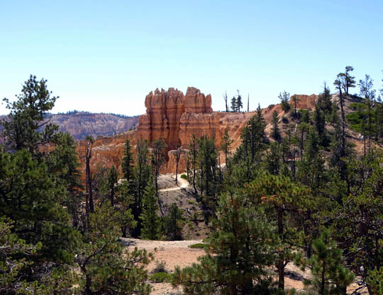
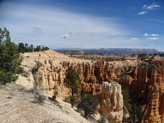
Above and below: looking
back to the passage through the rocks; Boat Mesa in distance
View NE to the rim, where we'll continue hiking to
complete the loop
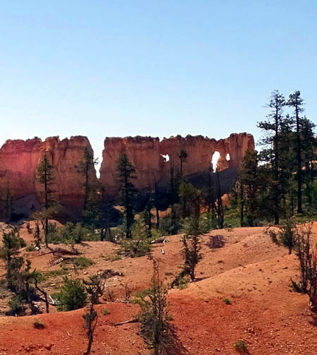
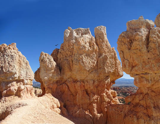
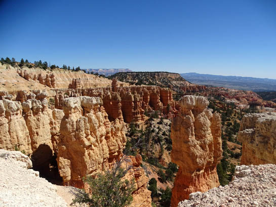
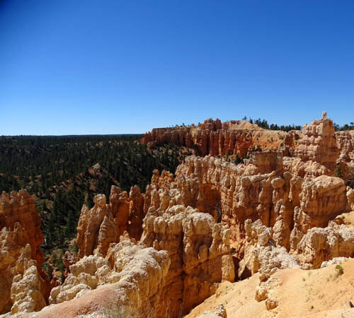
Colorful spires below the rim
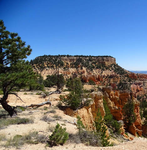
Unusual rocks and a window to the east
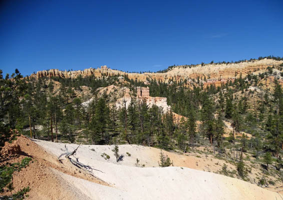
I took the next two photos at the Bryce Canyon Wilderness sign, looking
back down the Fairyland Trail. The trail connects to the Rim Trail near
Sunrise Point a couple hundred feet above this point.
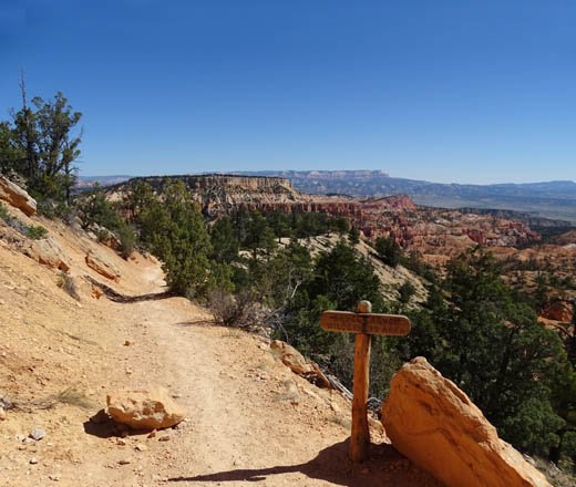
Boat Mesa and Aquarius Plateau are in the
near and far distance.
Bristlecone Point, to the right in the near
distance, is a little to the south of Boat Mesa.
RIM TRAIL TO FAIRYLAND POINT
The Fairyland Trail intersects with the Rim Trail a little north of Sunrise Point
at 6.3 miles from the start. It's another 2.7 miles, per my GPS,
going north along the rim to Fairyland Point to close the loop.
Here's the map one last time. I marked the Rim Trail portion of the loop
in blue. The remaining photos continue to show scenes going clockwise
(north along the rim).
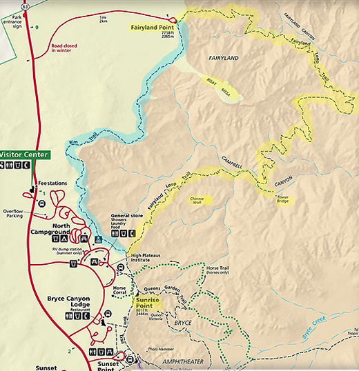
Elevations in this section are the highest on the entire loop (about 7,760 to
8,125 feet) but there are no steep slopes and the trail is wider than
Fairyland, which is almost entirely in the Bryce Canyon Wilderness.
In some places the Rim Trail gets quite close to the edge. If that
bothers you, just walk on the far side of the trail:
Although I prefer hiking the rim at the beginning of this loop
(starting and ending near Sunrise Point instead of Fairyland Point), it's
interesting to hike the rim section last because you can look down into
the canyon and see parts of the Fairyland Loop where you've been hiking.
Above and below: It's fun
to climb up to this rock formation, which is about 50 feet off the
trail.
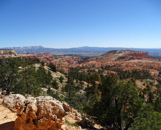
Looking back at the trail
High point on the rim between
Sunrise Point and Fairyland Point
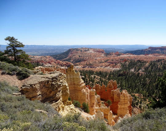
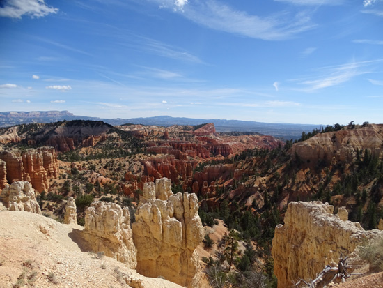
View down to part of the
Fairyland loop trail; "China Wall" is in the center of the photo
but it's harder to see from up here than when
you're down at the same level.
Boat Mesa
The next four photos are from the Rim Trail at or near
Fairyland Point:
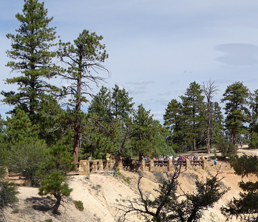
Visitors at the Fairyland Point
overlook
See why I think this is a great hike? Hope these photos give you
a good "picture" of my favorite Bryce Canyon hike.
Next entry: scenes from the Bryce Point Trail Happy trails,
Sue
"Runtrails & Company" - Sue Norwood, Jim O'Neil,
Cody the ultra Lab, and Casey-pup
Previous
Next
© 2015 Sue Norwood and Jim O'Neil
