It has been decades since either Jim or I have been through Zion
National Park. Since we'd like to spend a week or more exploring the
park this fall or next spring, we decided to drive over there on a sunny Thursday morning when we thought it might not be too crowded and
check it out.
Ha! Not only is Zion extremely crowded in the summer, we discovered
that it's also very busy on a warm, sunny weekday in October:
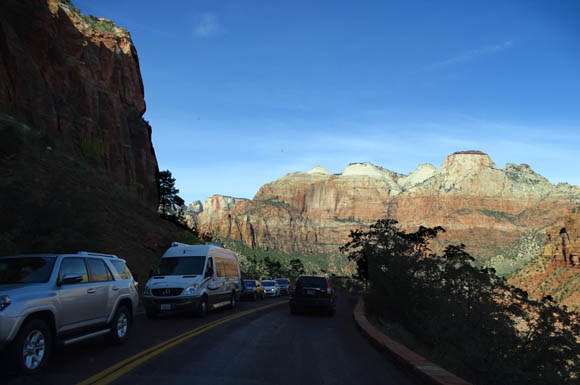
Solid line of cars on the main park
road
Zion is one of five national parks in Utah's canyon country. Over 3.6
million people visited Zion in 2015, putting it sixth on the list of
most popular U.S. national parks this year. That was almost double the
number of people who visited Bryce Canyon.
One big reason is access
-- Zion is closer to I-15 and much easier for tour buses, RVs, and every
other vehicle to reach. Zion's busy season is also longer because the park is
3,000-4,000 feet lower in elevation than Bryce Canyon.
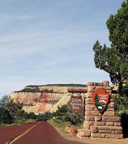
East entrance to the park
For various reasons Jim and I prefer Bryce Canyon so we were glad
there were fewer people in that park, although sometimes it felt very
crowded, too.
Here's the regional map of southern Utah that I've been using to show
what's where. I marked our 200-mile day trip loop in yellow, starting
and ending at our RV park in Red Canyon on Scenic Byway 12:
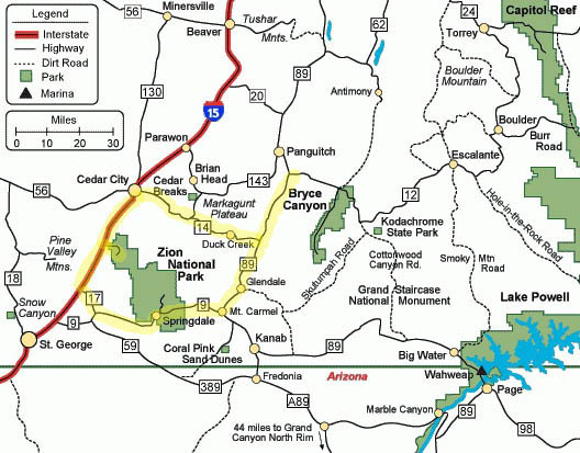
This whole loop is very scenic. By incorporating I-15 we were able to
visit the northern unit of Zion at Kolob Canyon on our day drive.
It's a much less crowded area of the park.
WHERE DID ALL THESE PEOPLE COME FROM??
It wasn't long before that was our mantra as we were driving through
the southern part of Zion.
On this day trip we
just wanted to re-familiarize ourselves with the terrain, ogle the
scenery, and go into the visitor center to get more
information about the trails. We also wanted to check out the
campgrounds inside the park and along Hwy. 9.
We didn't intend to do any hiking. We had the dogs with us and knew
it was too warm to leave them in the car; as in most of our
national parks, dogs aren't allowed on the dirt hiking trails, just
paved roads and the bike path.
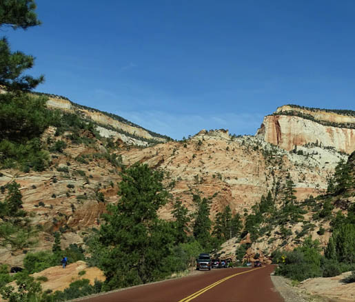
No room to park
Because the park was so crowded we couldn't find a parking space for
our car at the best overlooks on Hwy. 9 through the east side of the
park. I did get some decent pictures through the car windows as Jim was
driving, though.
Nor were there any spaces in the large parking area at the visitor
center so we didn't go inside.
We already knew that we wouldn't be able to drive through popular
Zion Canyon along the Virgin River to take photos. For most of the
year visitors can't use their
own vehicles for about six miles on the Zion Canyon Scenic Drive. You
have to take the free shuttle buses, ride your bike, or walk/run that
road to access those popular overlooks, trails, and slot canyons.
SOUTHERN ZION CANYON SCENES
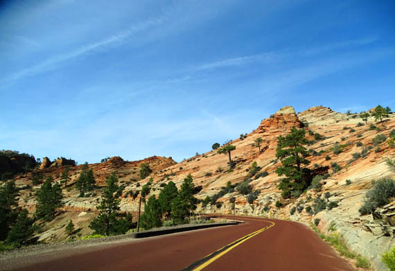
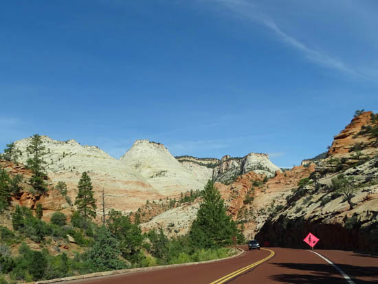
We approached Zion from the east on Hwy. 9, which runs generally east
to west through the southern part of the park. There is an entrance gate
there and another on the west side of the park in the town of Springdale.
A third entrance gate is located at Kolob Canyon in the NW part of the park.
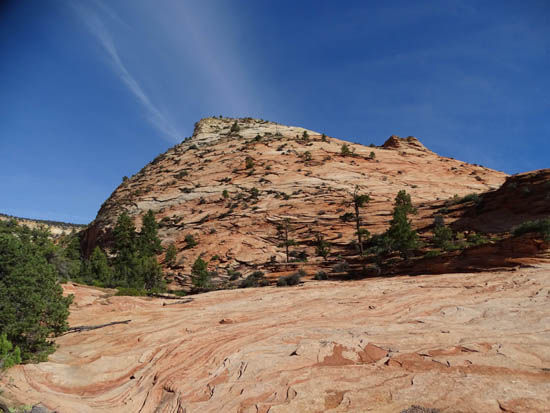
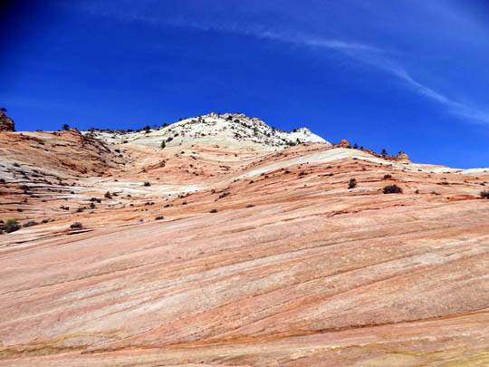
These photos are roughly in order through the southern part of the
park on Hwy. 9:
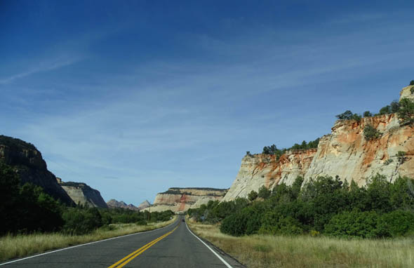
Hwy. 9 approaching Zion Canyon NP from the east
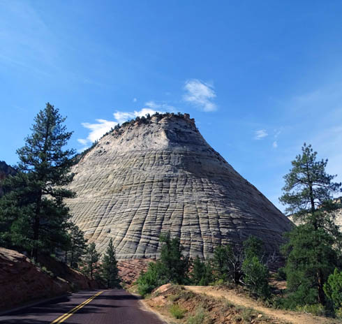
A great example of cross-bed erosion like we also
saw in Grand Staircase-Escalante
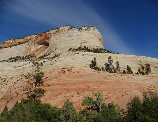
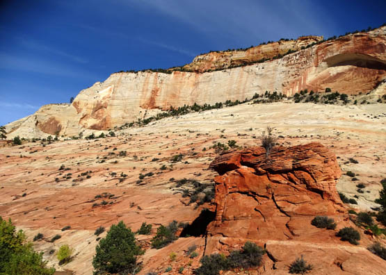
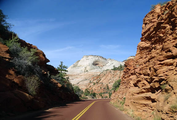
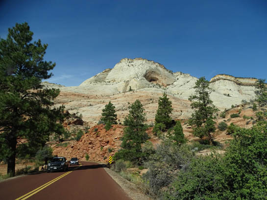
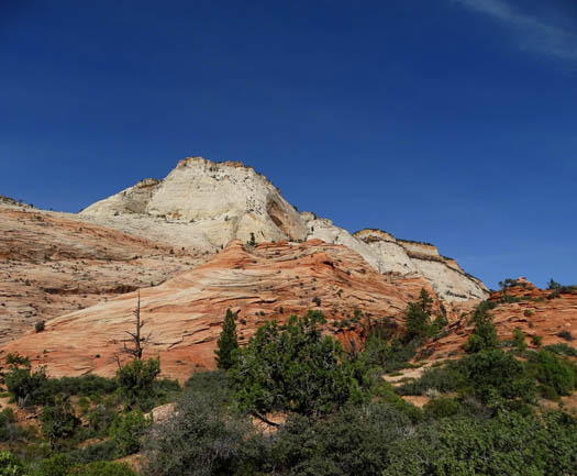
After passing through two tunnels, one quite long, the road switchbacks
down to the intersection with Zion Canyon Scenic Drive:
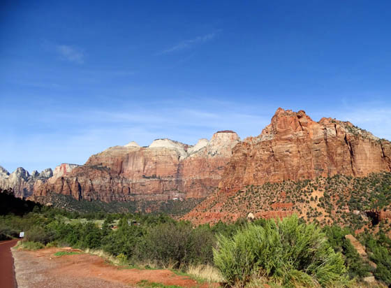
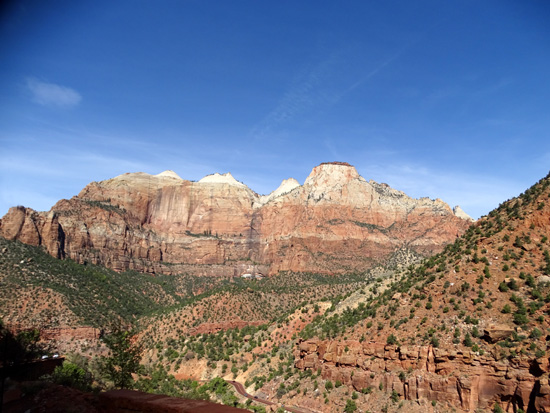
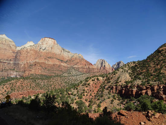
To the right at the intersection are all the scenic vistas and trails
along the Virgin River. That's where visitors must use the shuttle bus
system most of the year.
On our day drive we had to turn left toward the visitor center, shuttle
bus stop, campground, and west entrance to the park.
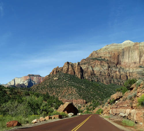
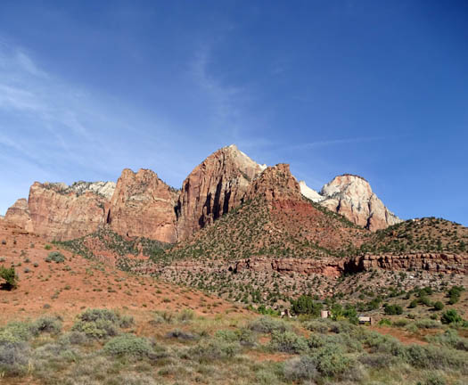
Before leaving the park we drove through the campground to see
if there are any spaces large enough for our rig. There are a
few but none are available when we want them this fall.
KOLOB CANYON VIEWS
We continued driving through the touristy town of Springdale on Hwy. 9,
eye-balled a couple promising -- and full -- private RV parks
for later, turned right on UT 17 at LaVerkin, and headed north
on I-15 for a few miles.
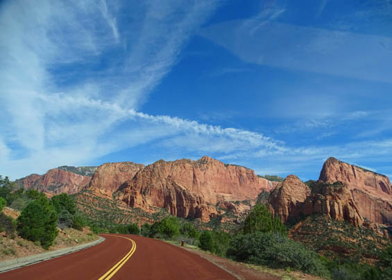
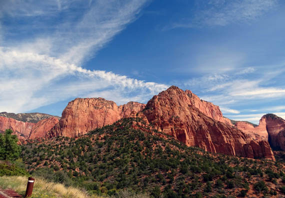
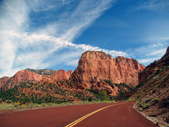
Although this part of Hwy. 9 and all of UT 17 are outside park boundaries
there are views of the mountains and cliffs in the park the next 50 miles
or more.
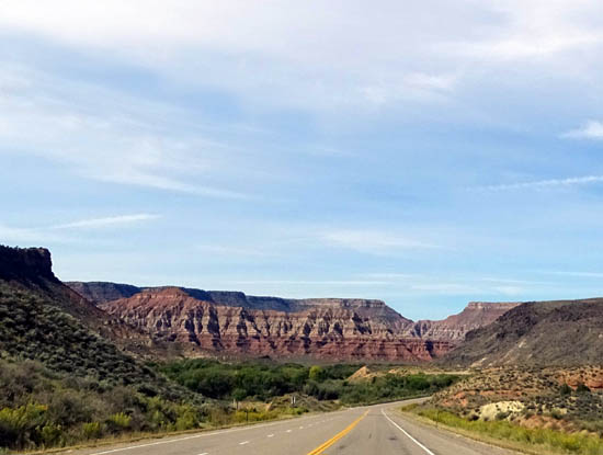
View toward park's west entrance at Springdale
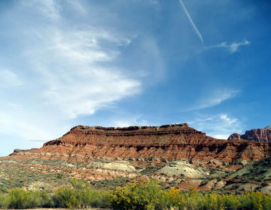
There is an exit on the freeway at MM40 for the northern unit of the
park, Kolob Canyon.
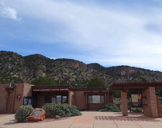
We stopped at the visitor center to show our
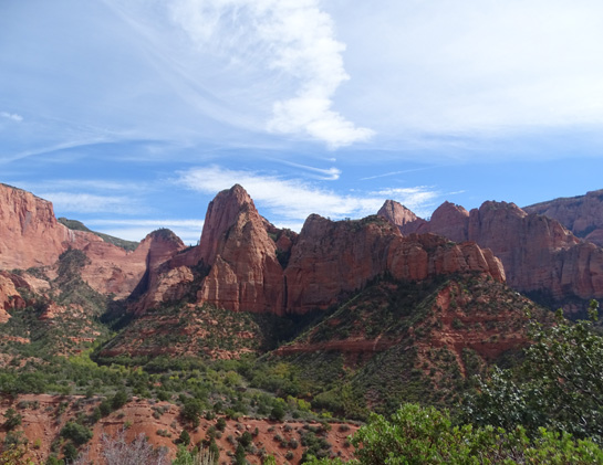
pass and ask some questions. Many fewer people visit this unit of the park
because it's not as spectacular as the Zion Canyon part but it's worth a
look if you're in the area.
You can drive your own vehicle on the park
road whenever it's open. It deadends at a large overlook with picnic
tables and interpretive panels.
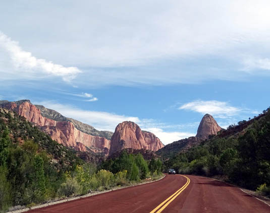
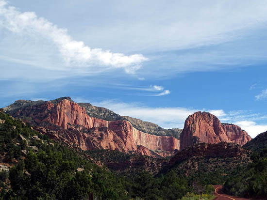
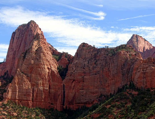
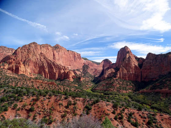
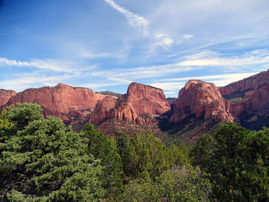
A dark vertical strip indicates a
waterfall; there is a large hanging garden above it.
TRAVEL DILEMMA
Because it's getting down to freezing some nights in mid-October at 7,000
feet elevation, Red Canyon Village RV Park is closing on October 18. However, it's
still in the high 90s F. in Black Canyon, AZ, where we plan to spend at
least the first part of the winter season. That's too hot for us!
We've been trying to figure out what to do for two or three weeks
while we're waiting for the temperatures to drop in the Phoenix area.
One idea was to find a campground closer to Zion and hang
out there. But since it's still so busy we have decided to wait until after
spring break in 2016 to visit Zion for a week. We have reserved a spot at a
private campground close to the west entrance gate in Springdale. See
the 2016 journal for more information about the park and its trails.
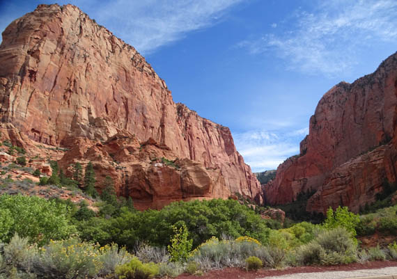
Kolob Canyon
Another idea to kill some time in an area new to us is to camp in Kanab, UT,
Jacob Lake (closer to the North Rim of the Grand Canyon), or the southern end of
Lake Powell since we'll be going down that way to Black Canyon. So we did another
day trip to check out Kanab and Jacob Lake.
Next entry: scenes from the North Rim of the Grand Canyon
Happy trails,
Sue
"Runtrails & Company" - Sue Norwood, Jim O'Neil,
Cody the ultra Lab, and Casey-pup
Previous
Next
© 2015 Sue Norwood and Jim O'Neil


