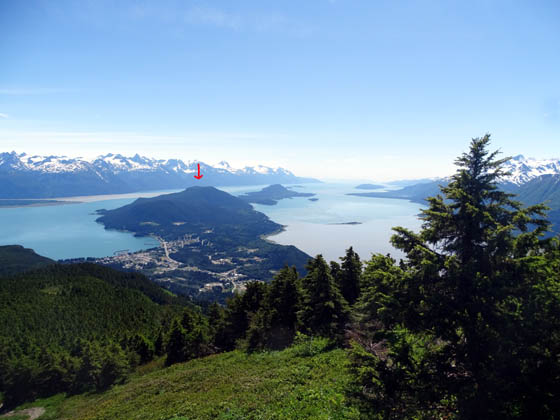
Mt. Riley dominates the view just south of Haines. Rising 1,760 feet above
sea level, it sits on Chilkat Peninsula between Chilkat Inlet and the Lynn Canal.
This is a good perspective of the mountain from the southern slope of nearby
Mt. Ripinsky:
There are three trailheads to hike to the summit of Mt. Riley, which
lies in Chilkat State Park. There is no fee to park at any of them.
The most direct route is from Mud Bay Road about three miles from
town. This trail goes up the western side of the mountain (Chilkat Inlet
side). The second route begins at the Haines water supply access road of
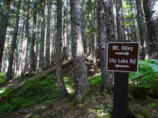
FAA Road. It joins the main trail past Lily Lake. Both of these routes
are less than three miles one way.
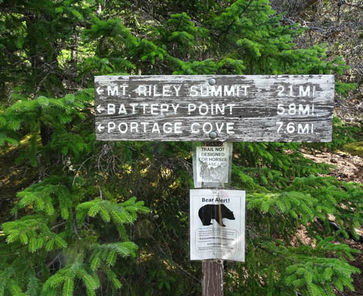
Signs at Mud Bay trailhead; a
newer metal sign has longer distances marked on it.
The third way up is the longest and steepest, from the Battery Point
Trail on the east side of Mt. Riley. It's about four miles one way.
Rather than going out-and-back some folks like to hike point-to-point
from the Battery Point trailhead to the Mud Bay trailhead or vice versa,
a distance of about six miles.
I planned to hike to the summit of Mt. Riley this morning, using the
trailhead off Mud Bay Rd.
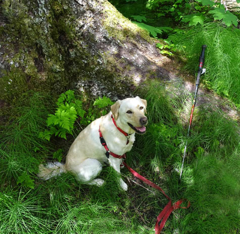
Only one other vehicle was in the parking area across the road from the
trailhead, which was a good sign since I had Casey with me. The more
people on a trail, the more problems I have controlling rambunctious
Casey. I decided to keep her on-leash until I could determine if anyone
was close ahead of me.
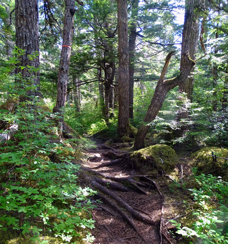
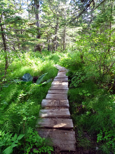
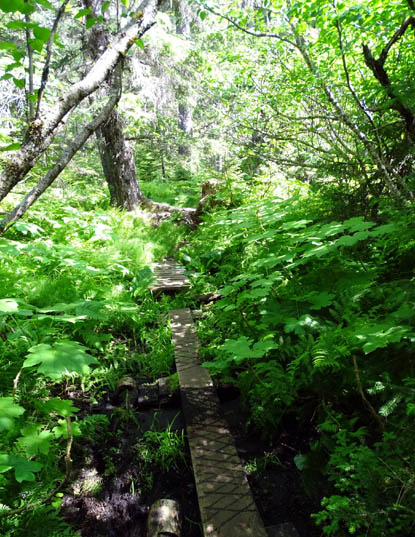
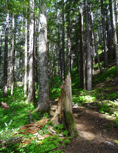
The trail starts uphill, levels out a bit
through a wet area with bog boards, then switchbacks more steeply to the
intersection with the trail to Lily Lake:
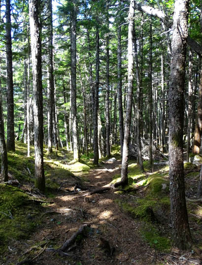
The first 6/10ths mile through the forest had 19 different places with
bog bridging. That part was interesting and pretty easy to walk because
there wasn't much elevation gain:
I never made it to the summit. If I'd been alone (or hiked with Cody
off-leash) and had two trekking poles instead of one, I could have done
it.
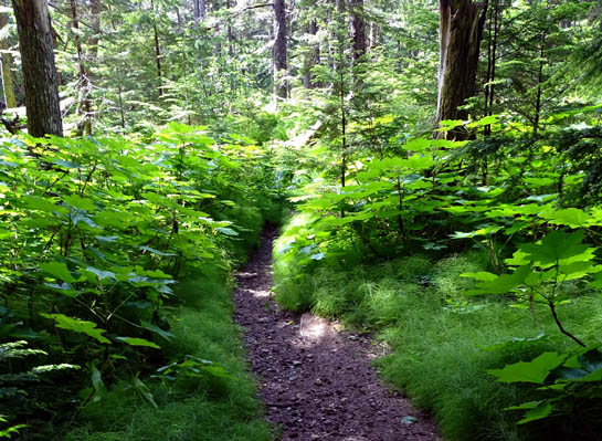
The trail in the second half mile was too steep to negotiate safely with
Casey on-leash, however, so I gave up after reaching the first trail
intersection. I knew the main trail continued uphill rather steeply from
there (1,790 feet elevation gain in 2.8 miles from the trailhead, and
part of what I'd already hiked was relatively flat).
I hiked toward Lily Lake but turned around when I heard shotguns in that
direction. I let Casey descend the steeper parts of the main trail by
herself.
I ended up with less than three miles on Mt. Riley instead of almost six
miles. If we'd been in the area longer I would have gone back either
alone or with Cody to get all the way to the summit on this trail.
Next entry: scenes from the Chilkat River corridor,
bald eagle preserve, native village of Klukwan, and my raft trip down the river
Happy trails,
Sue
"Runtrails & Company" - Sue Norwood, Jim O'Neil,
Cody the ultra Lab, and Casey-pup
Previous
Next
© 2015 Sue Norwood and Jim O'Neil
