|
2015 HIKING, CYCLING, & RV TRAVEL ADVENTURES
Denali AKA Mt. McKinley
| ||

|
Runtrails' Web Journal
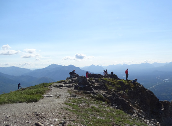
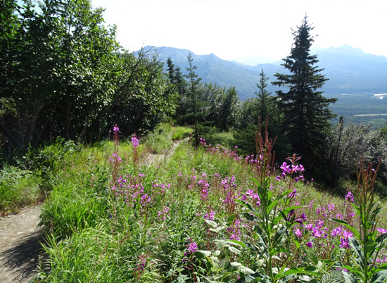
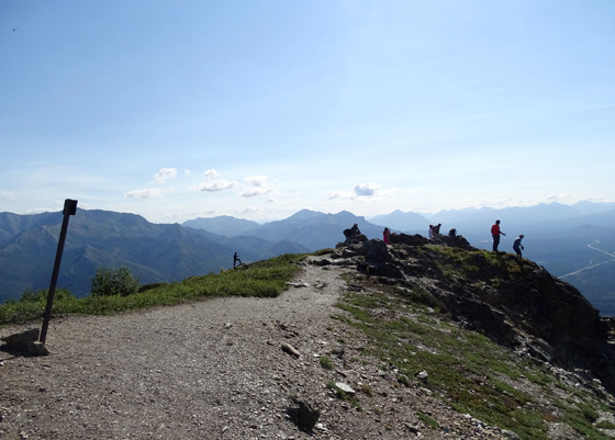
Most people stop at the overlook, catch their breath while gazing out to
the valleys and mountains in three directions, then head back down to
the trailhead:
Not me, and not a few other adventuresome souls who want more of what
Mt. Healy has to offer.
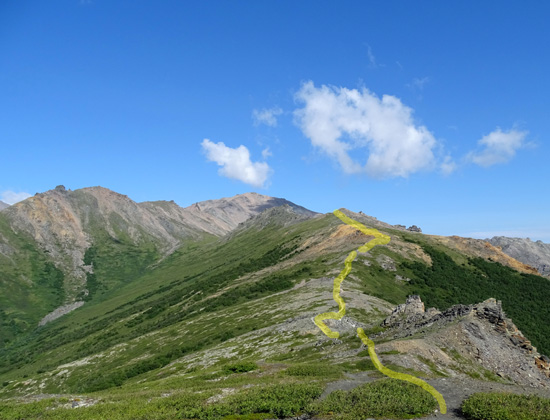
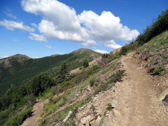
A perfectly good trail continues for more than another
mile up and down over Healy's high ridges. And for those with even more time and energy,
you can hike cross-country above and beyond that to the mountain's
highest peak:
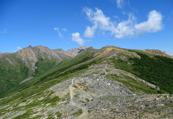
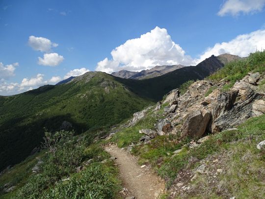
I love this hike and was just waiting for good weather to do it. I
wouldn't want to be on this exposed ridge during a storm.
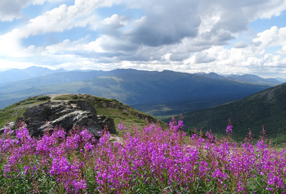
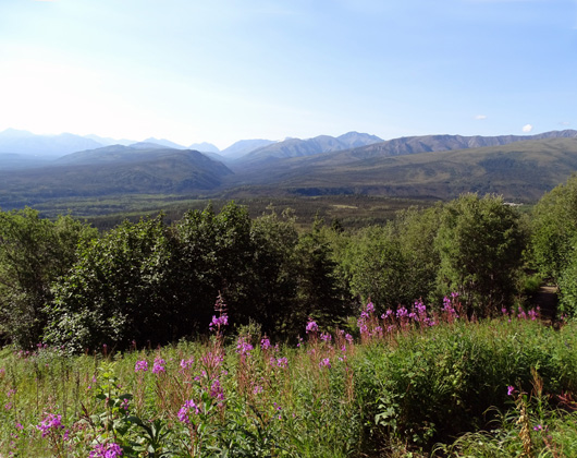
The more clear
the sky, the more you'll see in the distance. Unfortunately, it wasn't
clear enough over the Alaska Range to see Denali today but otherwise I
had a terrific hike:
What a pretty day! There was no rain, despite a 40% chance of showers and/or
t-storms. The sky was mostly clear when I got up. While I was
hiking between 9:30 AM and 2:30 PM there were fluffy white clouds and some grayer
ones.
Temps ranged from 44 to 71 F. at our campsite at Riley Creek.
Twenty-four hundred feet higher on Healy Ridge, I'm sure it was cooler. The sun
felt quite warm on the ridge, however, even with some wind:
ASCENT TO THE OVERLOOK
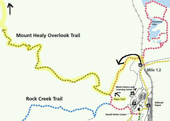
Jim dropped me off and picked me up at the Taiga trailhead at the RR
tracks near the main Denali visitor center. From there, on the current trail,
it's about 2.7 miles to the overlook where most people turn around.
The elevation gain is about 1,700 feet in this section.
I marked my route on this map from the park's
website:
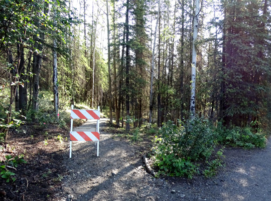
A new trail is being built to cut off a little bit of the distance
between the current intersection of the Taiga and Healy Overlook trails
but it's still blocked off:
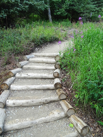
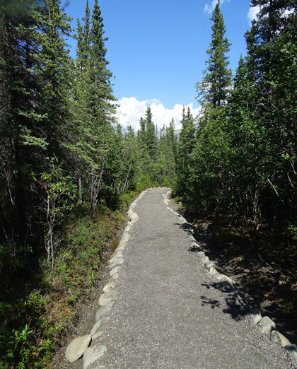
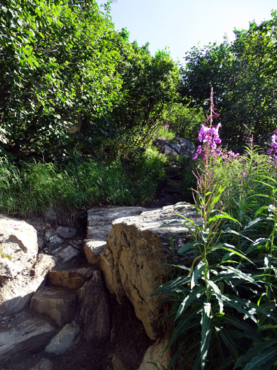
I also noted new crushed stone surfaces and new stone and log steps along
both the Taiga and lower Healy Overlook
trails to make them more user-friendly:
Volunteers have been very busy on several of the park trails since we
were here three years ago and I'm appreciative of that.
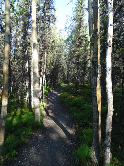
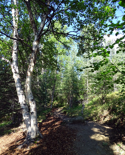
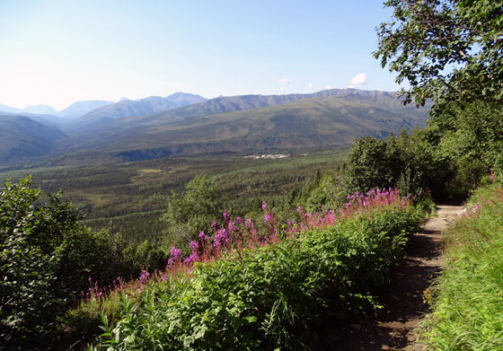
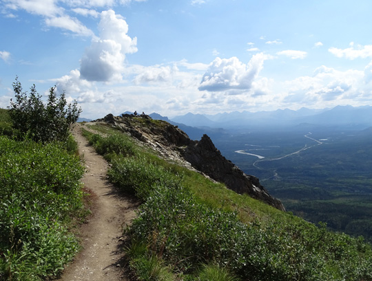
Here are some more photos of the trail and views on the way up to the
overlook:
The sign (above) says this is the end of the maintained trail.
Like I said earlier, keep going! It just gets better and better the
farther along the ridge you hike and much of the elevation has already
been gained. Happy trails, Sue
© 2015 Sue Norwood and Jim O'Neil |
|||