This morning we drove the camper back to Riley Creek Campground near the
park entrance. The park road was dry and dusty, which is better than wet
and muddy like it was Sunday when we moved out to Teklanika (Tek)
Campground. There was more construction going on since this was a workday;
the 29-mile drive took an hour.
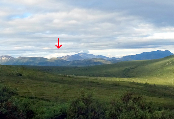
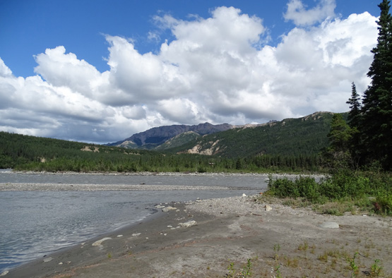
The weather was great -- mostly sunny, although Denali (under
arrow below) and the surrounding mountains were partly covered in clouds:
We didn't see any large critters during the drive either.
We arrived at Riley Creek about 9 AM, found only a couple "A" sites
(the larger ones) available that early, put our date placard at the same site
we had last week since it was empty and we liked that location OK, and
went to the dump station.
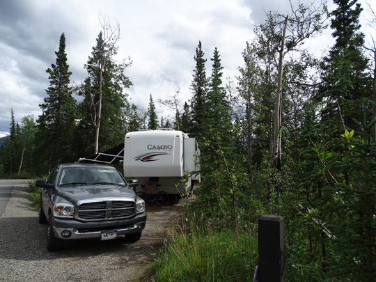
This spot feels like home by now . . .
We got settled in pretty fast, then got online to do the things we
couldn't do the last four days at Tek without an internet signal. Even though
we still don't have any hookups or TV it feels like we're back in
civilization again because we can use our phones, get online, and drive
the truck (once you're at Tek, you can't go anywhere except on foot, bike,
or bus).
I walked both dogs around the Bear Loop in the campground separately. After
lunch Jim took Casey for a 5-mile bike ride and I took a solo 5+ mile
hike on the McKinley Station and Horseshoe Lake trails, which I enjoyed
three years ago. I noted some changes in both trails this time.
This entry will focus
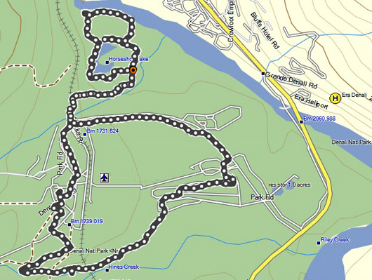
on these two trails. Here's my GPS track:
Here is a park website
link to a map and description of the
trails near the entrance.
I started hiking from our campsite at the right of the large loop in the
map above, walked clockwise around the McKinley Station Trail to the
visitor center, crossed the park road at the railroad tracks, turned
right at the Horseshoe Lake trailhead, and hiked CCW around the lake
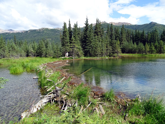
with an out-and-back in the middle -- on the map it looks like a figure-8 but the
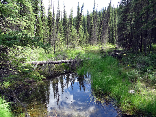
spur trail doesn't connect to the left side of the lake; it's a
beaver dam:
I returned home on the connector trail above the lake and walked east
along the bike path to close the large loop back to the campground.
Total distance was 5.28 miles.
Too bad I can't take Cody and Casey on any of these
trails but, like most national parks, dogs aren't allowed on any trail
here except the Roadside Trail that goes a couple miles out from the
visitor center to the park HQ and sled dog kennels.
They are allowed on that trail only because there is so much traffic on the road
in that area and no shoulder.
Dogs are allowed on Denali's park roads, on the bike path near
the entrance, and in three of the campgrounds, including Riley Creek
and Tek. Ditto for bicycles.
MCKINLEY STATION TRAIL
This trail is a partial loop measuring 1.6 miles per the park
website. One trailhead is at the visitor center; the other is at the far
end of the Bear Loop in Riley Creek Campground. Closing the loop makes
it longer.
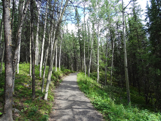
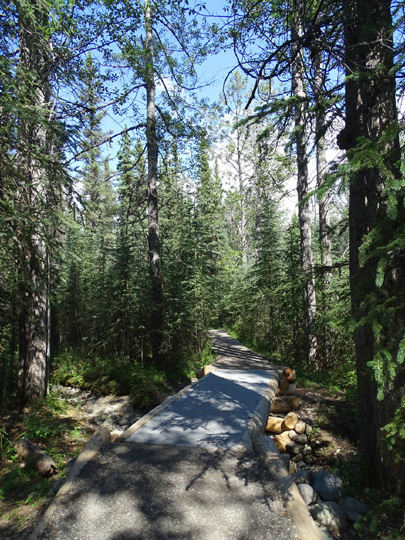
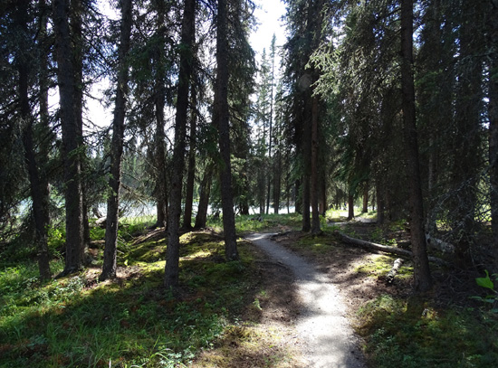
I started in the campground and
descended clockwise through the quiet forest to Riley and Hines Creeks:
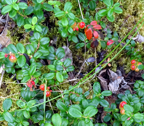
I was hoping to see the resident mama moose and her calves in the area but didn't
see any large critters along the creeks or trail.
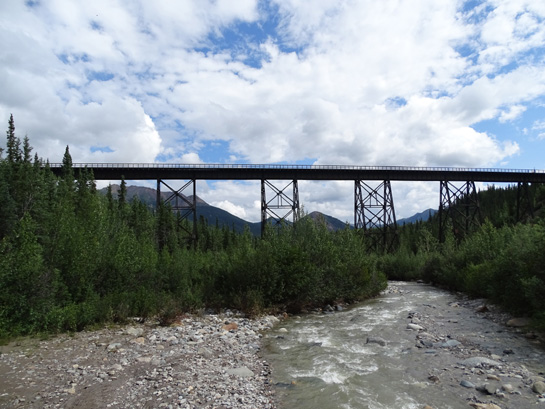
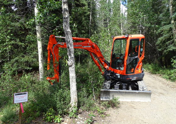
I ran into some construction equipment after passing under the soaring
railroad bridge. Riley Creek flooded part
of the lower trail this spring and they're still working on repairs. The
trail was open, however, and I was able walk around the equipment and
complete the loop up to the visitor center.
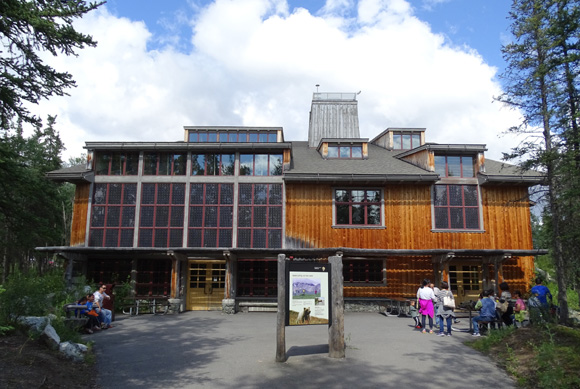
From the visitor center I continued on pavement to the intersection of
the railroad tracks and the park road. A paved path parallels the tracks
for a couple hundred feet to the trailheads for the Taiga and Horseshoe
Lake Trails.
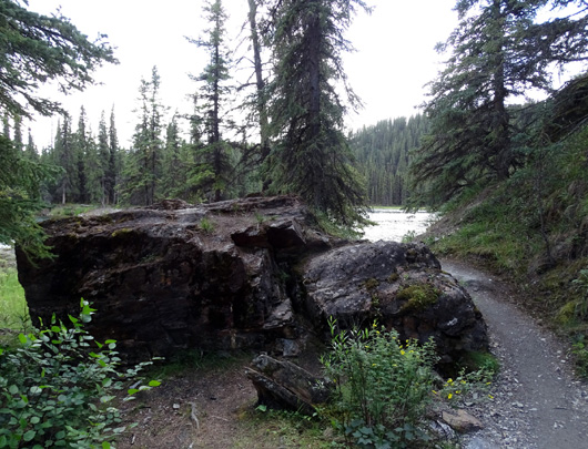
HORSESHOE LAKE TRAIL
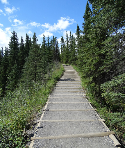
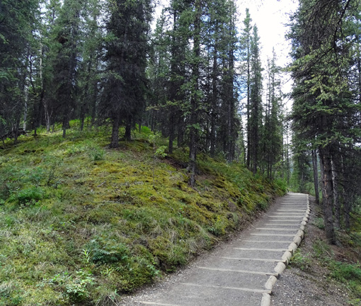
I could see changes to this trail as soon as I crossed the RR tracks
-- new wooden steps and a wider, smoother surface in the first 3/4
mile down to the lake.
This photo shows a second, longer set of new steps as the trail descends to
the lake:
When we were here three years ago workers were making significant
improvements to the main trail up/down the slope to the lake. It's much
nicer now.
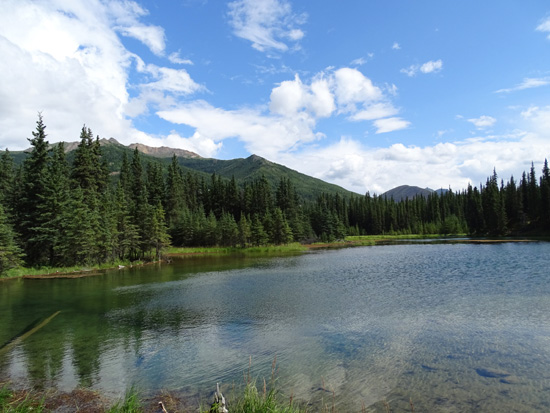
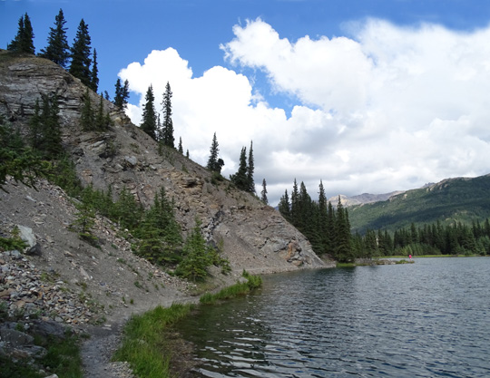
Here are two more views from the out-and-back section of the trail:
Nice raised section of trail through a wet area
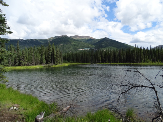
View down to the lake from the high point on the
trail
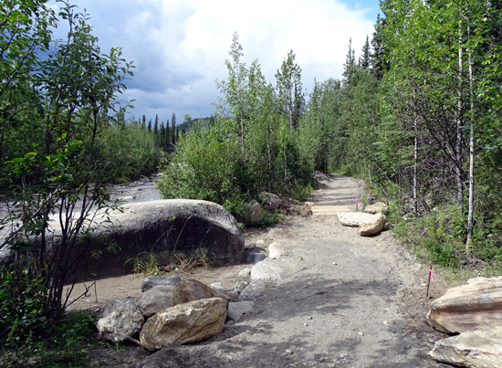
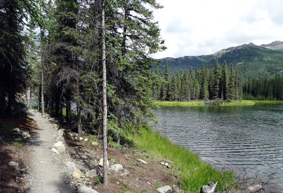
Even better than the improvements to the trail surface, the park service also
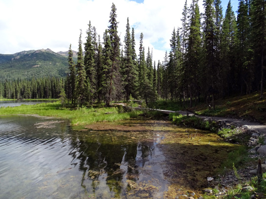
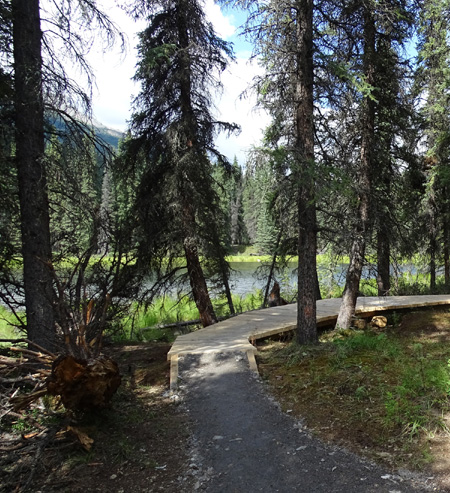
completed a decent trail around the west side of the lake.
Now hikers can add an
extra mile and loop completely around the horseshoe-shaped lake. I
didn't know they were going to do that, so it was a nice surprise.
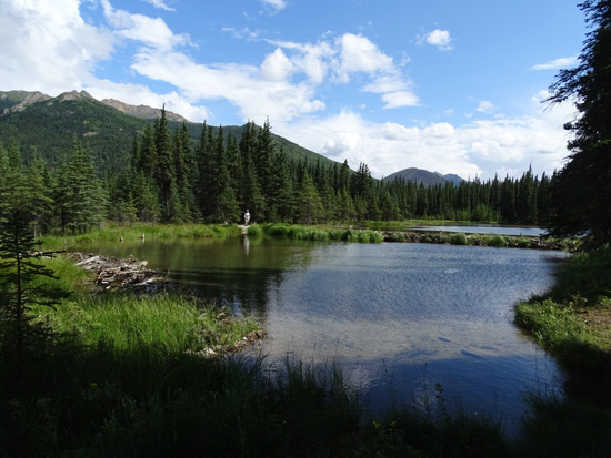
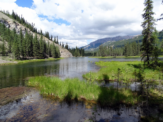
Here are some photos
around the loop at lake level:
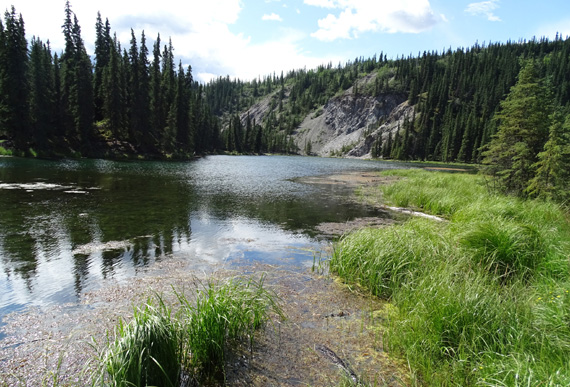
View of lake from spur trail in middle of loop
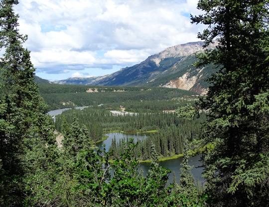
The north end of the trail loop is close to the
Nenana River.
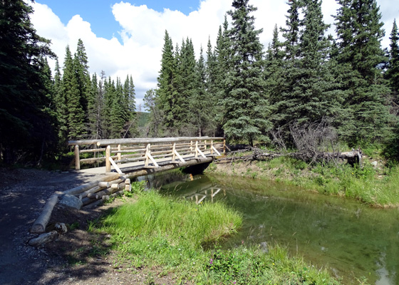
New bridge
over a creek that empties into the Nenana River

The trail, bridges, and boardwalks on this trail are very nice and the
views are calming.
The trail is moderately easy and suitable for people of all ages,
although there are a lot of steps. The elevation change is 250 feet and
grades are up to 20%.
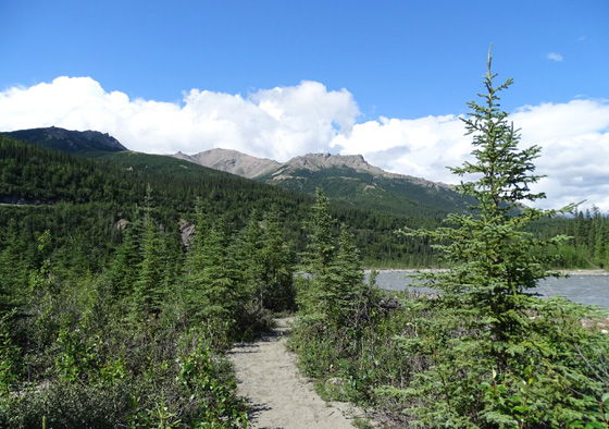
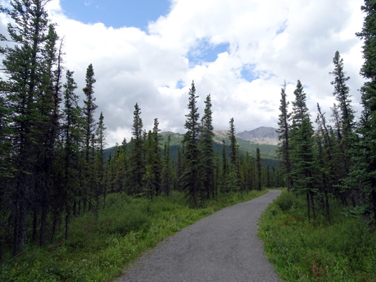
I returned to the
campground via the bike path, which is part crushed rock and part paved
:
Next entry: photos from my favorite Denali
front-country hike -- Mt. Healy overlook and ridge
Happy trails,
Sue
"Runtrails & Company" - Sue Norwood, Jim O'Neil,
Cody the ultra Lab, and Casey-pup
Previous
Next
© 2015 Sue Norwood and Jim O'Neil
