Continued from the previous page.
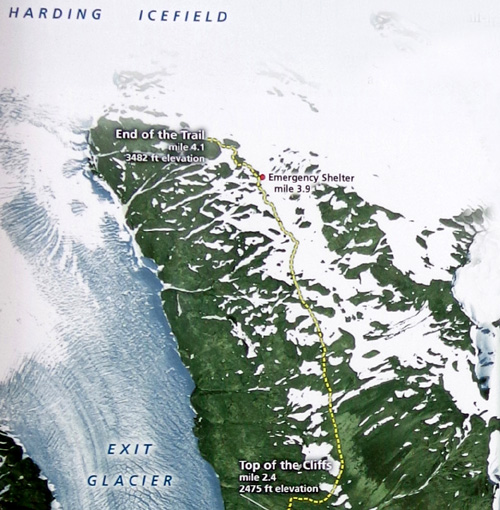
Here's the top half of the map showing the Harding Icefield Trail from
the Top of the Cliffs overlook to the end of the trail above the ice
field:
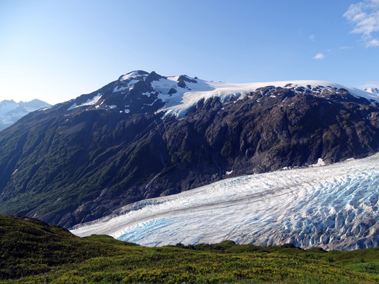
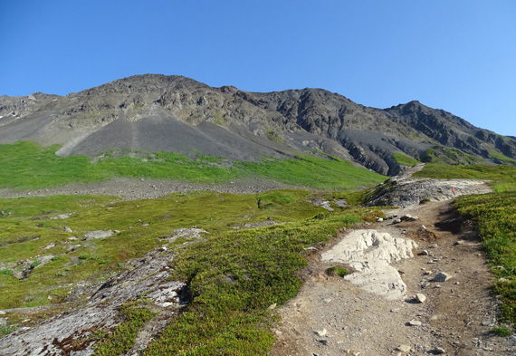
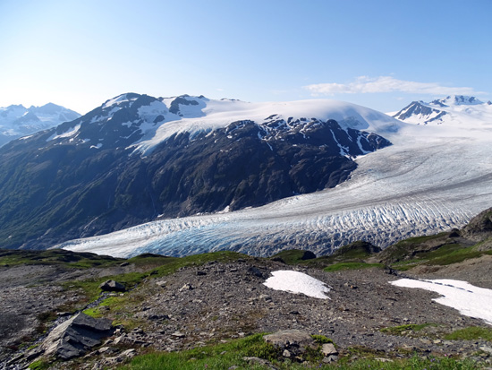
I took the next photos from the broad, grassy Top of the Cliffs overlook
about 2.8 miles from the nature center.
This is where you can get some good views of the top of Exit Glacier and
some of the nunataks near the edge of the ice field. Many people are
satisfied with turning around here instead of continuing on another
couple miles to the highest point on the trail above the ice field.
OK, let's continue up the trail
. . .
TOP OF THE CLIFFS TO HIGH POINT OF THE TRAIL
It is approximately another 1.3 miles from the broad Top of the
Cliffs overlook to the high point on the trail above the ice field.
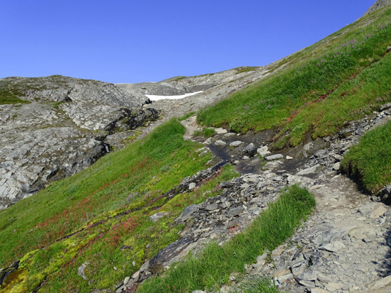
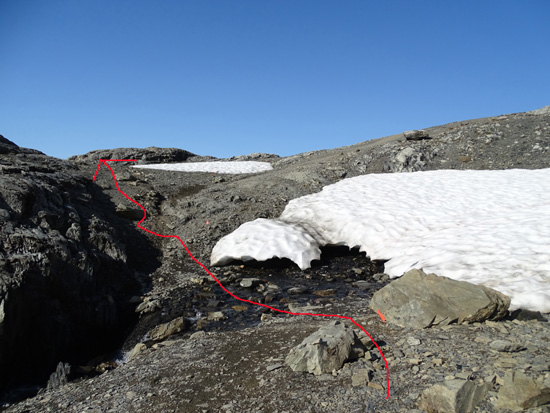
The trail continues to climb gradually through the grassy meadow to some
bedrock, through a boulder field, and then contours along the side of a
mountain on a smooth but narrow path with rather steep slopes above and
below:
The trail climbs gradually over some bedrock . . .
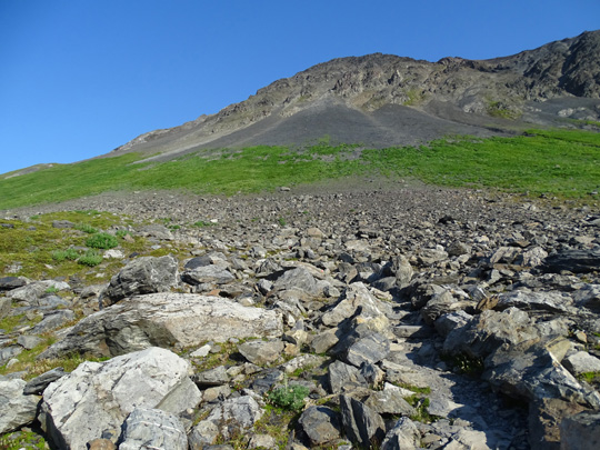
. . . then goes through a boulder field.
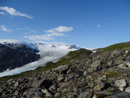
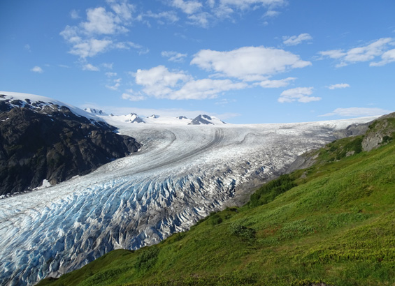
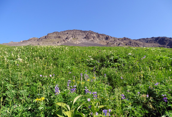
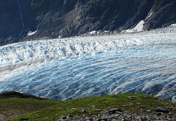
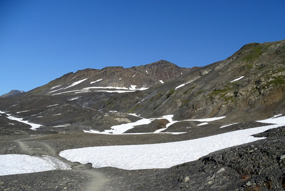
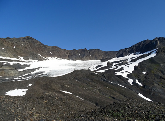
View of Exit Glacier and the Harding Icefield from
the boulder field
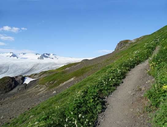
The smoothest section of the trail contours along
this slope for about 1/4 mile.
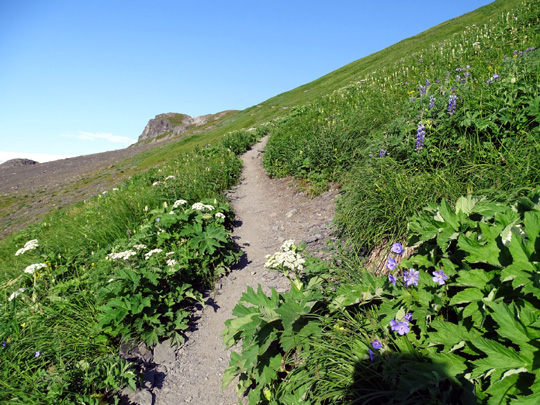
Above and below: There are lots of lupines,
wild geraniums, cow parsnip,
bog orchids, and other colorful flowers along this
sunny slope.
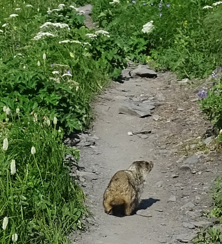
Marmot on the trail
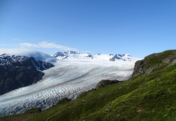
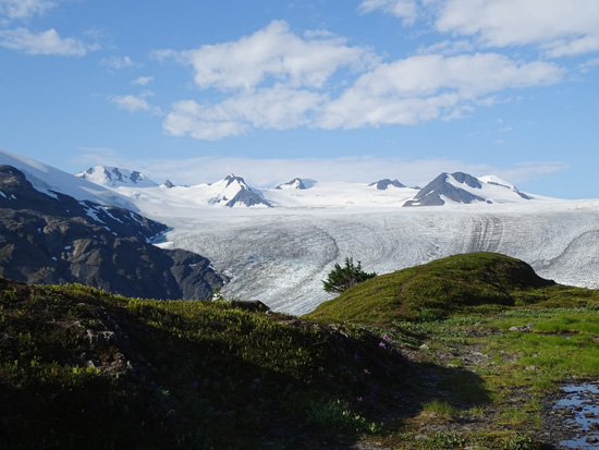
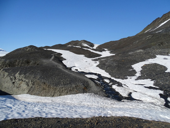
Above and below: two views of the top of Exit
Glacier and the hanging glacier above it
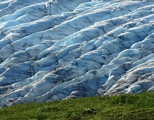
Above and below: close-ups of the glacial
crevasses, which are deeper than they look
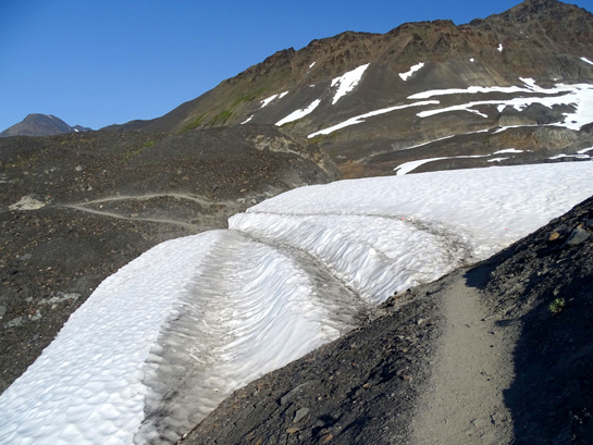
Several little streams cross the trail in this
section
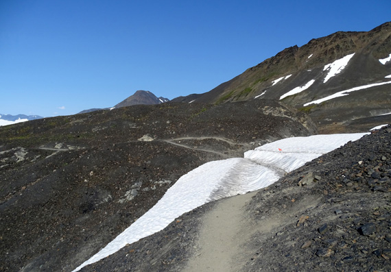
First of several patches of snow next to or still
covering the trail
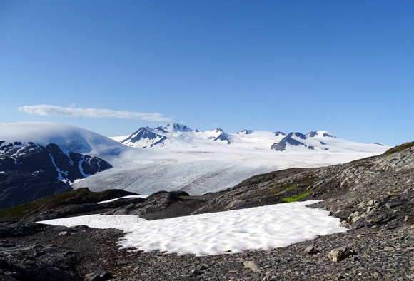
We're about level with the Harding Icefield now
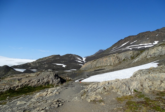
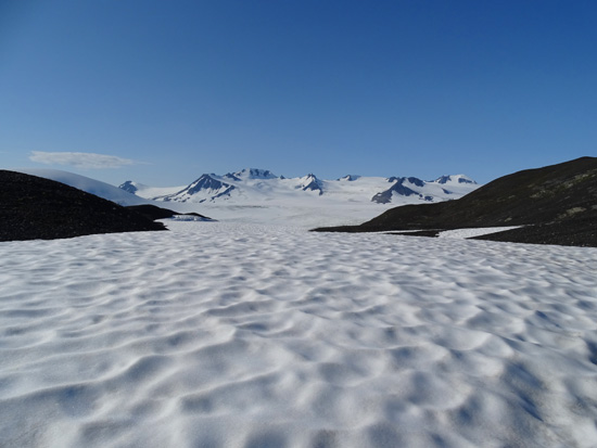
The remainder of the trail undulates through more barren tundra,
gradually climbing higher above the ice field.
Hikers can go off-trail anywhere in the tundra if they want to get
closer to the ice field to the south or the mountain slopes to the
north. I usually stuck fairly close to the established trail except when
I wanted photos of something from a different perspective.
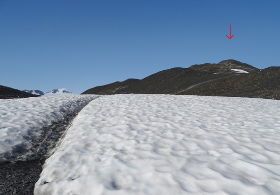
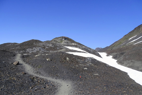
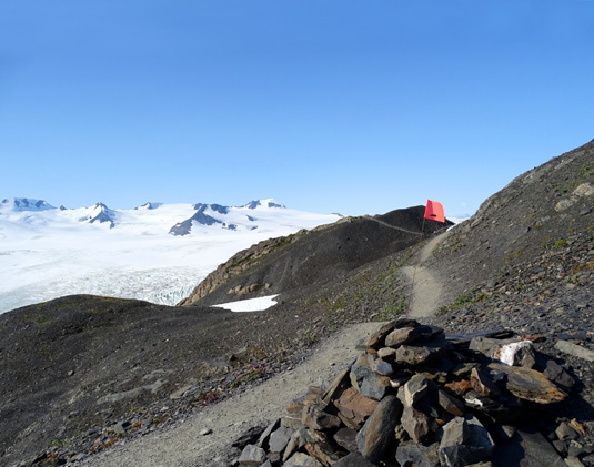
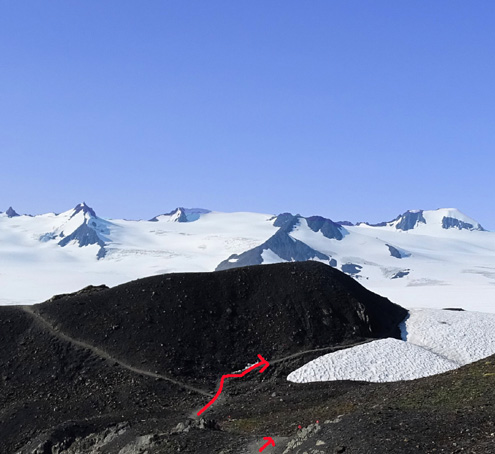
Arrow marks the emergency hut on
one of the hills.
Isn't the rippled snow pretty?
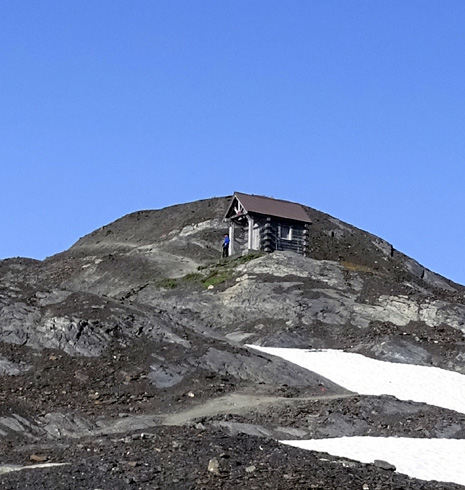
Above and below: Emergency
hut in case of bad weather; no camping is
allowed up here or anywhere along
the Harding Icefield Trail.
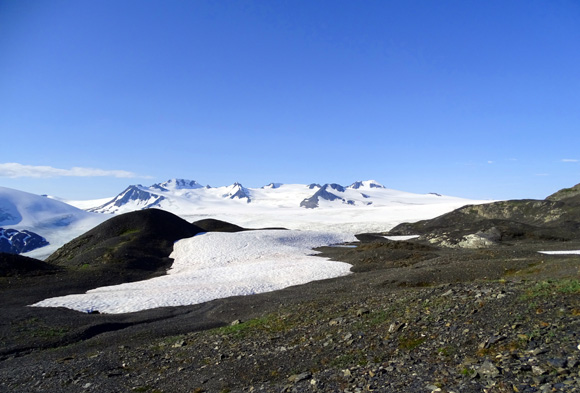
Small glacier in a mountain
cirque north of the trail; it used to be part of the ice field.
The trail continues for about 1/4 mile beyond the emergency hut to
another rocky hill overlooking the ice field:
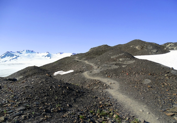
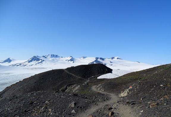
Above and below: the last
hill on the trail
I got to the high point faster than the last two times I've gone up
there -- almost exactly three hours. I didn't take as many
pictures or rest breaks as on Wednesday, and hiking on the rocks is
faster than it was in the snow in 2012. I felt strong the whole way up,
probably because I was so psyched up to be out there on such a gorgeous
day.
I still took time on the ascent to admire the flowers and pretty rocks and had interesting
conversations with the three hikers coming back down.
Continued on the next page: photos from the
high spot and farther below the rocky promontory toward the ice field
Happy trails,
Sue
"Runtrails & Company" - Sue Norwood, Jim O'Neil,
Cody the ultra Lab, and Casey-pup
Previous
Next
© 2015 Sue Norwood and Jim O'Neil
