We are parked at a nice pull-off along the
Alaska Highway tonight, just across the river from part of the large
Tetlin National Wildlife Refuge.
We are grateful that it will stay a few degrees
above freezing tonight and any rain won't turn to
snow . . . we hope. Simply can't imagine what it would be like
here in January!
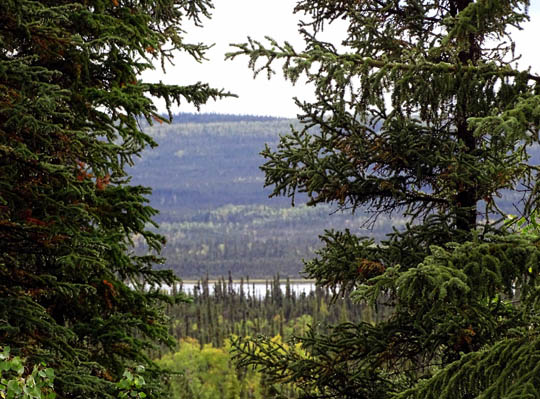
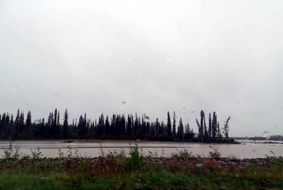
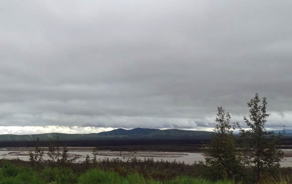
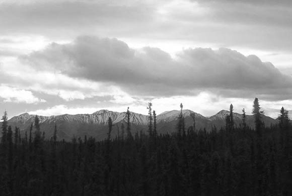
View of the
Chisana River and Tetlin NWR from our camper
In the
last
entry I described our averted medical "crisis" with Cody. Fortunately,
what we thought might be something very seriously wrong with him turned
out to be a temporary condition.
After going to the vet's office and finding a ramp to get Cody into and
out of the truck and camper more easily, we returned to River's Edge RV
Park, ate some more breakfast, got online to check weather, news,
e-mail, etc. (didn't know if we'd have a connection tonight), and got
ready to leave.
We left the campground in Fairbanks about lunchtime and arrived at our
destination -- a large pull-off we found along the Alaska
Highway about MP 1251 -- by suppertime. We continued a few miles
past the pull-off where we stopped in June in order to reduce the
mileage tomorrow to Whitehorse. We're just 14 miles from the Canadian
border.
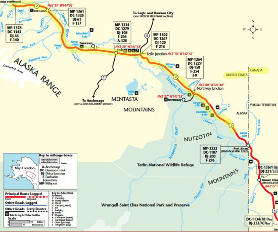
In the grand scheme
of things, this segment doesn't look very far on the Alaska map:

This was our last
full day in Alaska. I'm sorry we couldn't stay longer but we're tired of
cold rain, predicted snow, and the inability to enjoy the great outdoors
like we want to.
It rained all night in Fairbanks and continued raining all morning.
Really heavy rain and 25-30 MPH wind are predicted for this afternoon. A
cold front is coming in a couple days, with snow predicted in the
Interior and at Denali National Park -- as low as 3,000 feet. The
road on the way to Savage River is higher than that!
We got outa there in time, I guess. The last thing we want is to get
stuck in Alaska or Canada when the roads are covered in snow or ice.
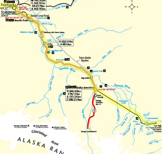
We were on the Richardson Hwy. from Fairbanks to Delta Jct. (map above),
then the Alaska Hwy.
to
Tok and our pull-off closer to the Canadian border (below). These
2 maps are from
The Milepost.
Tok's forecast farther east in Alaska was better today and tomorrow, and
we were happy to be out of all the rain by Delta Junction. It was
depressing enough with all the clouds; we're glad it
didn't rain all the way today.
It was partly sunny by Tok but still only in the 50s F. with some breeze.
About the same thing happened in 2012 -- rain in Fairbanks and the
Richardson Hwy., but sunny by the time we got to the Canadian border.
Deja vu all over again . . .
The rest area where we stopped for the night has trees to the southwest,
on our doorside, a bit of a view into the valley to the south, sunshine, and
no wind -- perfect! There is no internet or phone connection but,
hey, it's free and we expected that. Jim's out playing ball with Casey in the
gravel at 8 PM. (After that, another 5th-wheel pulled in behind us.)
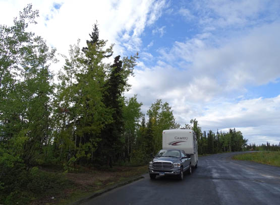
Not much
traffic through here, and we're well off the highway.
Since we're farther east in the AK time zone I was hoping to see a
pretty sunset before I went to bed but more clouds came in and obscured
it. The sunshine was nice the short time it lasted.
Our first stop was for fuel at Delta Junction (Tesoro price =
$3.58/gallon, less Visa's 5% discount). We also fixed our lunch at the
nearby visitor center. It was still open this time (closed in early
Sept. in 2012) but we didn't go inside.
Rainy spot early in the afternoon
Our second stop was at the Tesoro station on the west side of Tok =
$3.41/gallon minus 5%.
We had a good phone signal there so Jim got online with
the MiFi one last time before we go into Canada. We can use our phones
there but it'll be 99 cents a minute. We won't use the MiFi in Canada at
all. We did all the financial things we need to do for the next two
weeks since it's not safe to use public WiFi for those transactions. We
can use public connections for weather updates, news, checking e-mail,
etc. if we stay at campgrounds offering free WiFi.
Traffic was minimal once we got out of Fairbanks. As in the Yukon, we
sometimes went several miles without seeing anyone in either direction:
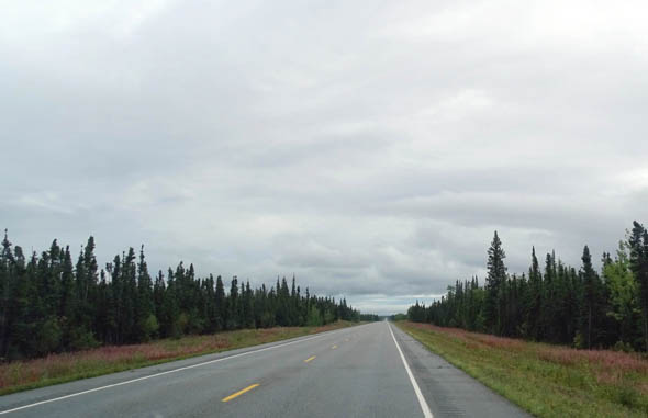
Although there weren't any passing lanes on the Richardson Hwy. or Alaska Hwy.
there were enough long, straight stretches for faster semis and other
vehicles to pass us.
Jim passed one truck and a small motorhome. He kept his speed under 60
MPH most of the time.
The road was better than we expected today.
We had one wait of about three minutes for road work somewhere on the
Richardson Hwy. before Delta Jct.:
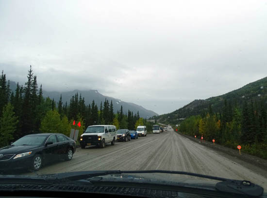
There were a few gravel breaks like the ones above but most of this summer's
patches have been paved over. Not all the newly-paved sections have been
painted yet.
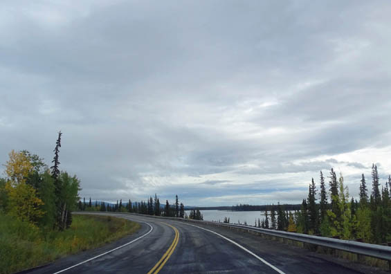
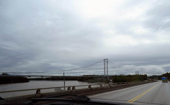
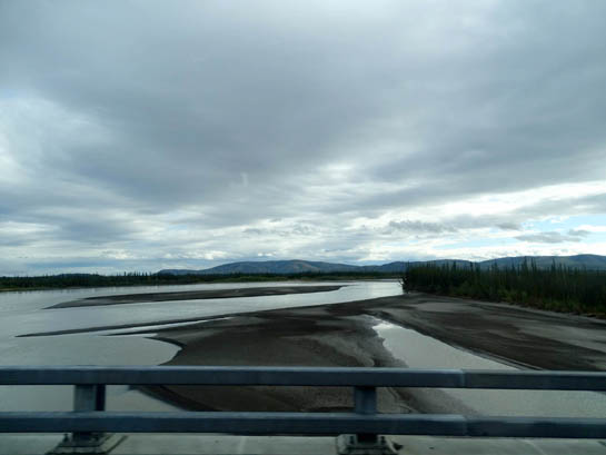
As you can see
from the maps this part of Alaska has a lot of rivers
and lakes. There are frequent views of the Tanana, Delta, and Chisana
Rivers from the roadway. In some places the braided gravel riverbeds
look wide enough to be lakes:
The Trans
Alaska Pipeline crosses here at Big Delta.
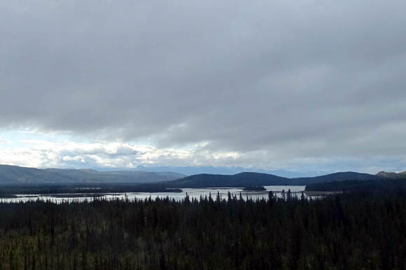
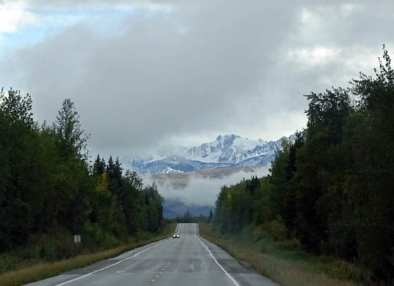
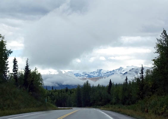
We had a few nice views of snow-capped mountains in the Alaska Range
between Delta Junction and Tok but low clouds covered most of them:
East of Tok we could
see the Wrangell-St. Elias Range in the distance a little better because the area
was more sunny but I don't have any good photos of those peaks.
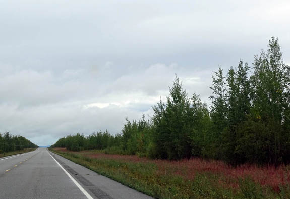
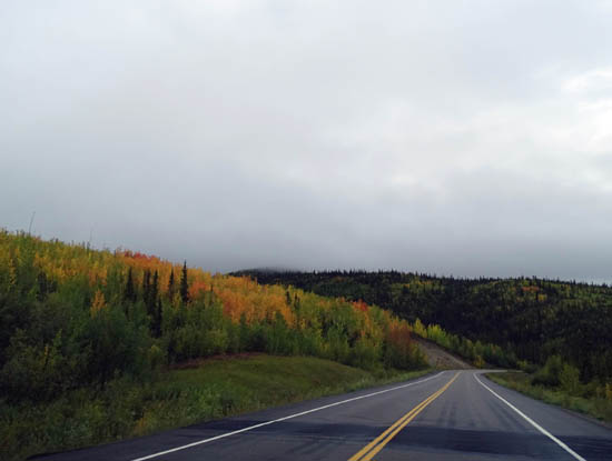
The elevation increased as we drove east. The high point today was 2,010
feet. The fireweeds were mostly in the light pink fluff stage (most leaves
haven't gotten red yet) but the aspen/birch leaves were increasingly
colorful as we got above 1,500 feet:
Yesterday we saw seven intrepid bicyclists, male and female, riding
north on the Parks Hwy. between Healy and Fairbanks. Today we saw nine
of them riding east of Fairbanks. We couldn't tell if they were the same
people. They don't have numbers and must be totally committed to be out
there in cold rain this week.
Despite continued rain and clouds this was a much better day than
yesterday -- nothing went wrong! Now, on to Whitehorse for
probably just one night.
We're playing the rest of the trip through Canada by ear, depending on
the weather. We're considering going down the Cassiar Hwy. through
British Columbia instead of the Alaska Hwy. We don't have to decide for
certain until we're past Whitehorse and approaching Watson Lake, YT.
Looks like fresh snow to me! (It shows up
better in gray tones than color.)
We changed our plans to drive the Cassiar in 2012 because of wildfires and
predicted snow. The same concerns are valid this year, too, with
wildfires -- and wind-driven smoke -- in the northwestern
U.S. and southwestern Canada.
We'll probably get to Malmstrom AFB in Great Falls, MT before Labor Day.
We don't know how long we'll stay there because it is very smoky now
from wildfires in Idaho and Montana. A woman at the Sam's Club in Great
Falls told Jim today that even the inside of the store is smoky, just
from customers coming in and out of the store. Outside is worse.
We
hope it's cleared up by the time we get there. One day at a time
. . .
Next entry: across the border and on to Whitehorse, YT
Happy trails,
Sue
"Runtrails & Company" - Sue Norwood, Jim O'Neil,
Cody the ultra Lab, and Casey-pup
Previous
Next
© 2015 Sue Norwood and Jim O'Neil
