According to the park website there are 125 miles of hiking trails
within the park, ranging from short to longer and easy to strenuous.
Trails can be combined in all sorts of combinations to satisfy every
hiker's desires on any particular day.With so many choices of trails
and so few days to hike them, I had some difficulty choosing which ones
would be the most fun and give me the best views.
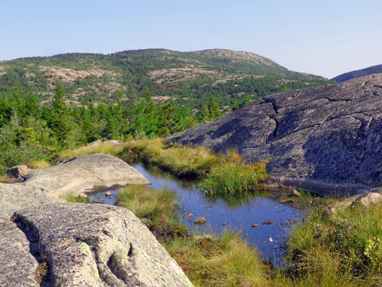
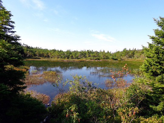
Pretty little pool of water about
halfway up the South Ridge Trail;
the summit of Cadillac Mtn. is to
the right in the distance.
Since I'm always drawn to the highest mountain in any area I'm
visiting, I picked climbing to the summit of Cadillac Mountain as my
first hiking challenge.
There are several trails to the top. By examining the large relief
map in the visitor center I could tell which one had the easiest grades
on the descent (that's what hurts my Granny Knees, not steep ascents)
-- the South Ridge Trail.
Here's a portion of the park
map with the South Ridge Trail
highlighted:
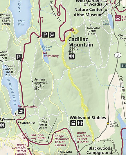
This trail is the longest out-and-back of all the trails to
Cadillac's summit -- a total of seven miles. I added another half
mile walking around the summit and the bedrock below it when I struck out
alone on our third day in the area.
Hikers who can spot a second vehicle or who have someone available to
pick them up at the end can choose several point-to-point routes up and
over Cadillac Mountain. I was going alone so I went out and back.
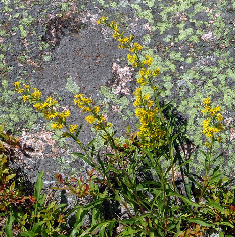
Fall flowers in front of a
lichen-covered rock
Dogs are allowed on all the park trails except the ones with ladders. For various reasons, including difficulty carrying
enough water, I chose not to take either Cody or Casey with me on this
hike. They got to go on one of my coastal hikes in the park with Jim.
Most national parks don't allow dogs on the trails.
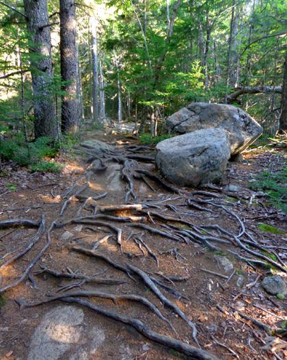
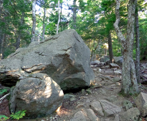
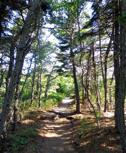
I loved this trail. By Maine standards, it's moderate despite
its "strenuous" rating on the park website.
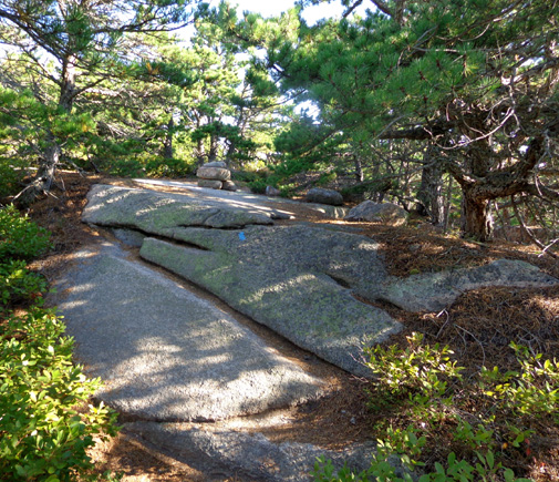
The main challenges are the rocks, rock steps, and roots in the first
mile, interspersed with smooth granite bedrock:
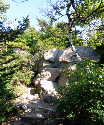
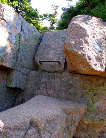
There is also a metal hand-foot
hold to get up a steep set of boulders near the top but you can detour
around that like I did:
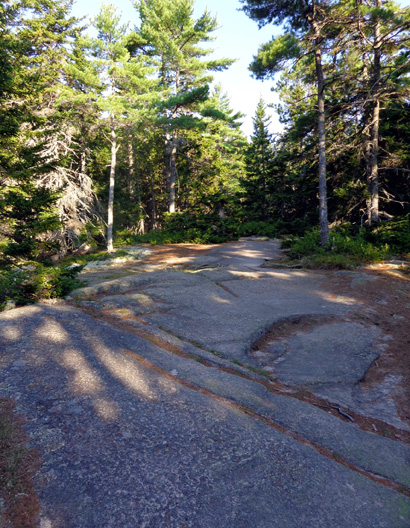
The grade wasn't very steep most of the way and the footing on the
dry granite bedrock was usually pretty smooth. The granite would be
slick when wet, however.
The trailhead is on ME 3 near the Blackwoods Campground in the
southeastern part of the park. When I started hiking at 7:45 AM on
Friday only one other vehicle was parked along the side of the road.
That hiker started a little before me and, to my surprise, was the
only one I saw going up in two hours on the way to the summit. I stopped
so often to look at the ocean views behind me, and took so many photos,
that I figured a bunch of people would pass me on the ascent. While I
was hiking up three runners passed me going down.
Two people who passed me going back down the
mountain
I saw plenty of people the 45 minutes I was wandering around the
summit. I began my descent about 10:30 and counted 39 people going up in
the 3˝ miles back down to the trailhead!
I'm glad I got started early so I didn't have to deal with so many other
hikers or have them in my pictures.
The first mile is mostly forested;
the trees and terrain reminded me of the second quarter of the hike up
Pike's Peak in Colorado.
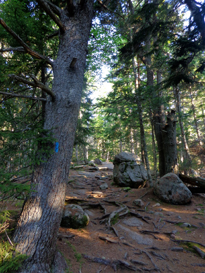
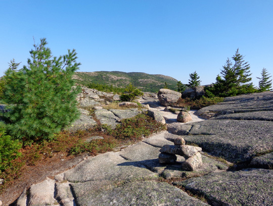
The trail is marked with blue blazes and rock
cairns.
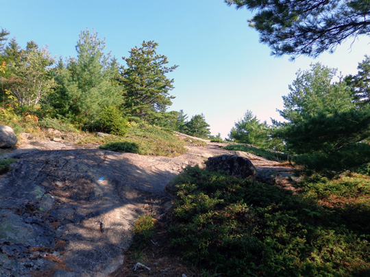
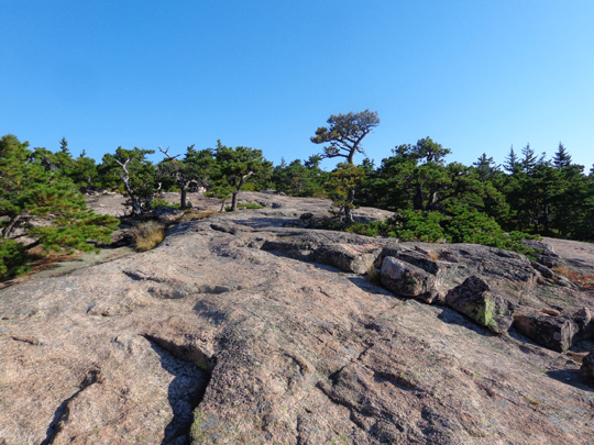
After a mile I was on an increasing amount of exposed bedrock with
fewer, shorter trees and low shrubs.
I also came to a short loop trail called Eagles Crag; I
followed that back to the main trail:
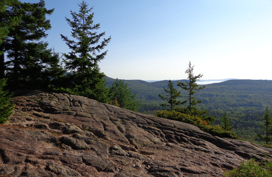
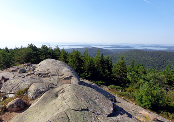
The higher I went, the better the
views back down to the ocean and islands below me. I often turned around
on the way up the mountain and had trouble keeping my eyes on the trail
when I was descending -- so much to see!
I never truly got above timberline even at the 1,530-foot summit but
the trees and shrubs were low and sparse enough that it felt like
being above tree line the last two miles.
Heading up

Early glimpse of the ocean
The trail goes in and out of
trees in the second mile.
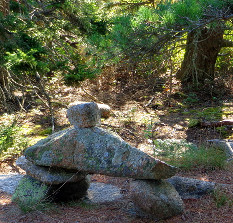
Much of the route over bedrock is marked with distinctive Acadian-style
Bates Cairns, named after Waldron Bates, who built many of the park
trails in the early 1900s:
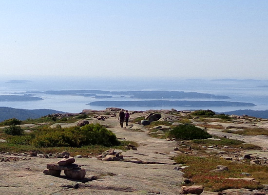
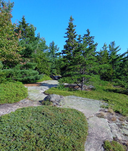
There is a lower peak on the south shoulder of Cadillac Mountain
about two miles into the hike. This was one of my favorite parts of the
trail:
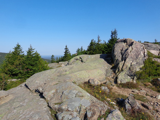
This is also where I took the photo at the top of this entry with the
pretty little pool of water. It was the first place where I could see
the upper part of the mountain and the summit.
From this shorter peak the trail descends into a shady saddle
with a little pond:
Photos continued on the next page . . .
Happy trails,
Sue
"Runtrails & Company" - Sue Norwood, Jim O'Neil,
Cody the ultra Lab, and Casey-pup
Previous
Next
© 2014 Sue Norwood and Jim O'Neil
