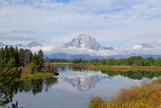
Today Jim and I enjoyed riding and hiking on part of the Flume Trail
System located two miles south of our campground in Wilmington on NY 86.
These are some very nice trails! Cody got to hike with me there for a
few miles, then we drove farther south to one of the trailheads for
Copperas and Winch Ponds.
Yesterday I hiked with Casey to Owen Pond. I'll begin this entry with
photos from the pond trails, which are rougher, wetter, and open only
for hiking and back-packing.
OWEN POND
There is supposed to be a moderate, 3.5-mile loop trail connecting
Owen, Copperas, and Winch Ponds. My intention yesterday while hiking
with Casey-pup was to do that loop. I knew she'd enjoy swimming in all
those lakes, and sniffing everything (and I mean everything)
between them.
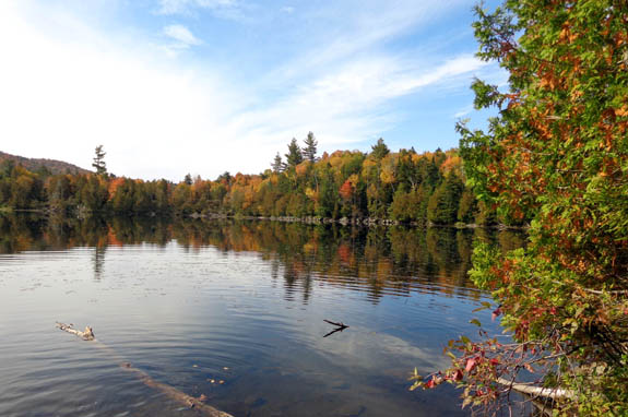
It was a beautiful day for hiking and I mostly enjoyed the trail
segment to and beyond Owen Pond:
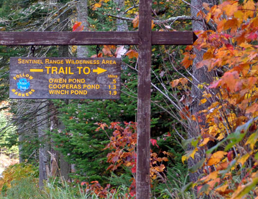
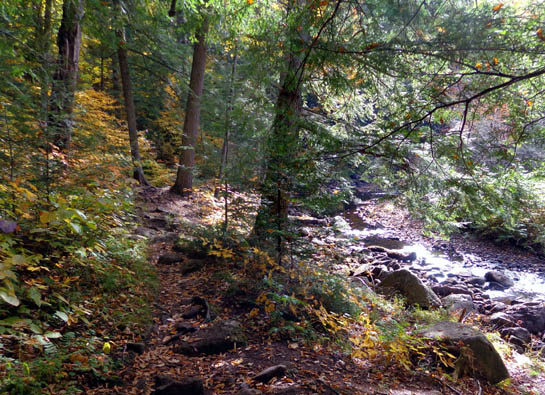
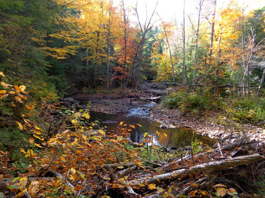
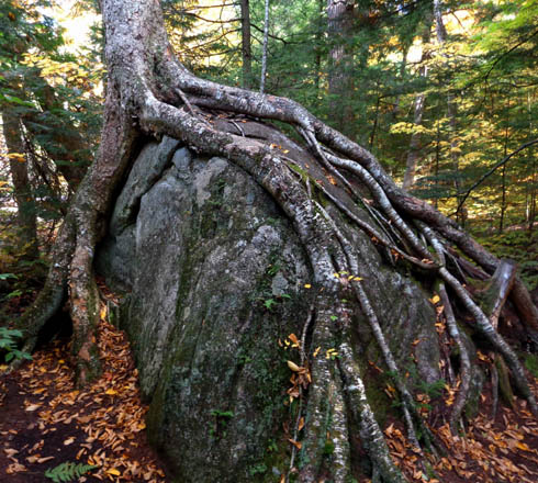
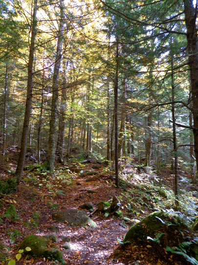
Casey loved swimming in the pond and creek several times.
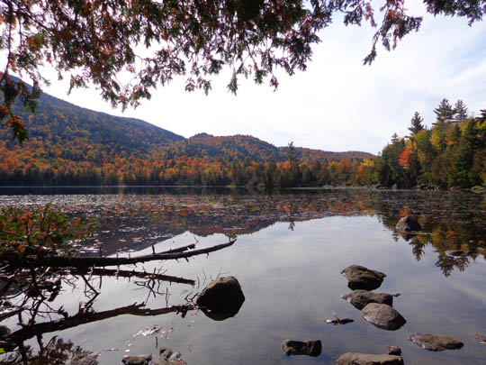
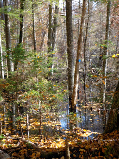
Note the blue blaze marking the original trail in the
next photo. A beaver dam has flooded this part of the trail so there's
a rough re-route around it:
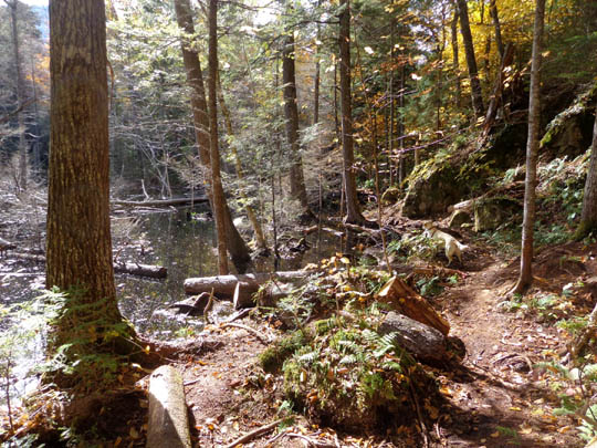
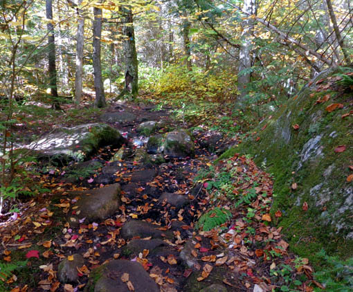
In fact, most of this trail segment is
very rough (rocks, roots, mud).
I had trouble walking with a trekking
pole in one hand and exuberant Casey on a leash with the other hand. I
came close to tripping and falling several times. I can't trust her
off-leash like I can with Cody.
So instead of continuing to the other
two ponds, I turned around between Owen and Copperas Ponds and returned to
the parking area where I began. Total distance on this hike was just 2.22
miles.
COPPERAS & WINCH PONDS
This afternoon Cody got to hike with me to these two ponds.
Instead of repeating the trail section I walked yesterday with Casey,
we used a different trailhead on NY 86 that was at least a mile closer to
Wilmington. This GPS track shows today's hike at the top and
yesterday's to Owen Pond in green at the bottom of the map section:
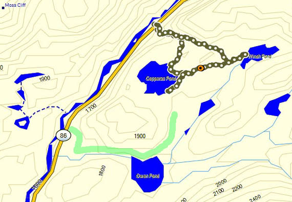
The two trails connect between Copperas and Owen Pond; I just
didn't do that short section on either hike.
The Copperas-Winch Trail is more difficult from the northern trailhead
-- steep and rocky for the first 1/4 mile, then rooty and
undulating for another 1/4 mile to the pond. However, since Cody was
off-leash it was much easier for me to hike the gnarly sections than it
would have been with Casey.
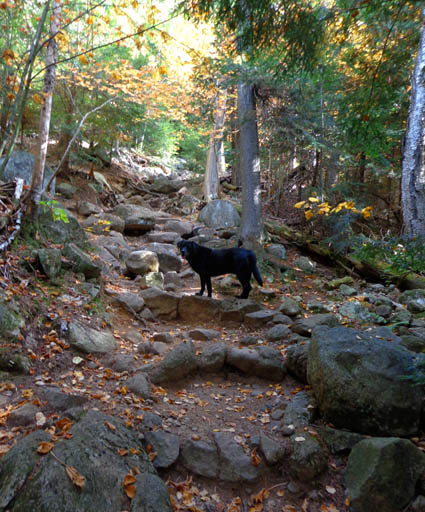
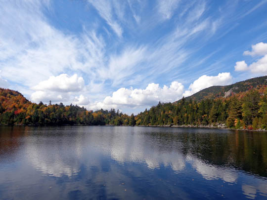
Above and
below: Copperas Pond
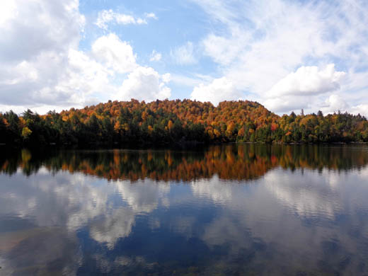
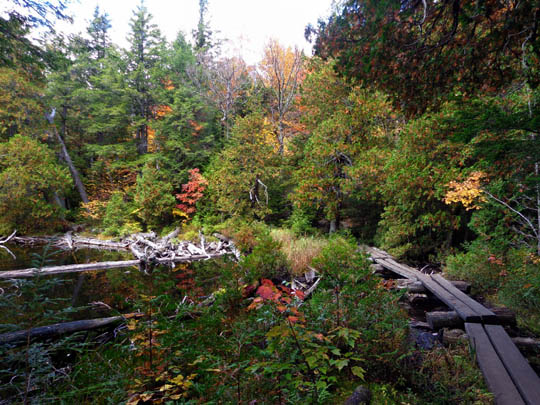
Above and
below: outlet of Copperas Pond
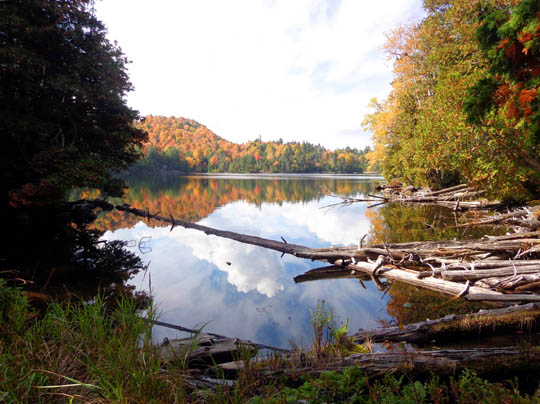
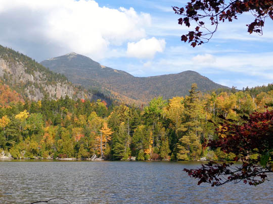
The forest is pretty and I really enjoyed the views around the eastern
third of Copperas Pond. I sat on a stump by the shore to eat a Clif bar
and could see the SE side of Whiteface Mtn. in the background:
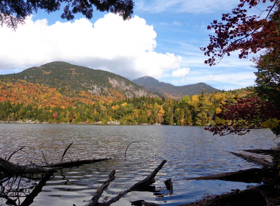
Above and
below: view of Whiteface Mtm. from Copperas Pond
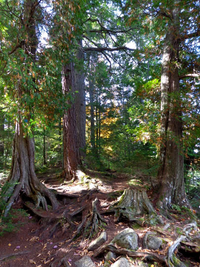
On the way back I hiked a different trail that loops over to Winch Pond,
which wasn't nearly as scenic as Copperas Pond.
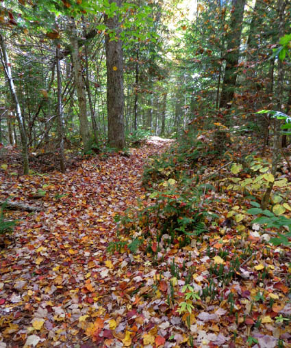
Half of the loop was very nice through pretty forest:
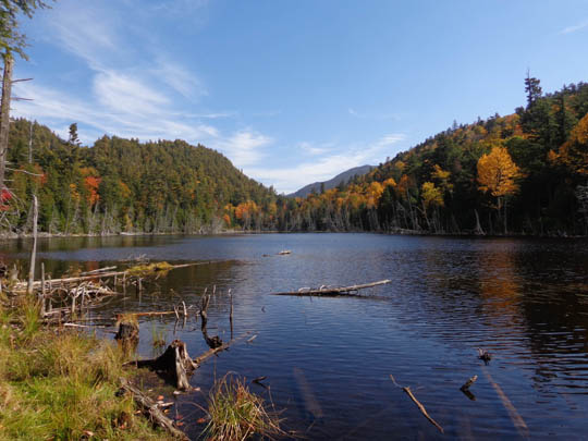
Winch Pond
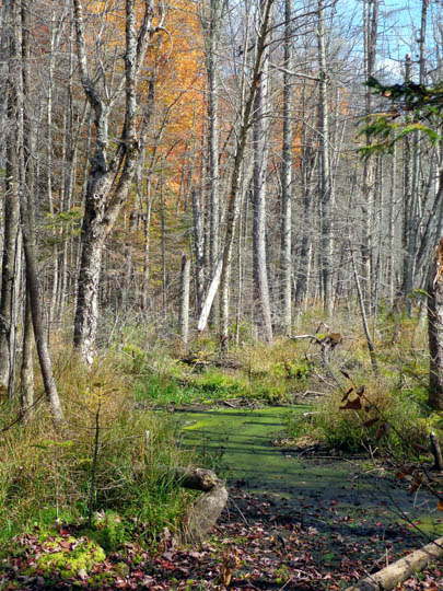
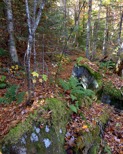
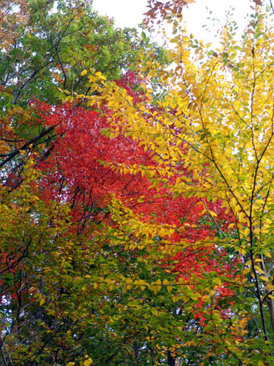
The other half of this trail was rough and not as attractive but
the leaves and wet area were colorful:
The last 1/4 mile down the steep, rocky section again was difficult but
doable with Cody off-leash.
This hike was 2.05 miles, for a total
of 4.72 miles today of mostly pleasant walking with Cody. The remainder
was on Flume Trails.
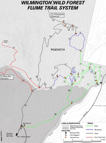
THE WILMINGTON WILD FOREST FLUME TRAIL SYSTEM
This is our last full day in this part of the Adirondacks. We're
sorry we didn't discover the nice Flume Trail System sooner! The main trailhead is
less than two miles from our campground, the trails are great, and Jim was able to
ride his bike here.
You can see a larger version of this trail map at this web
link for the NY State Dept. of
Environmental Conservation:
I left first with Cody this morning to hike some of the trail network.
Jim planned a bike ride but wasn't sure where he'd go. When I saw how nice
the trail by the river is, I called him and encouraged him to ride it.
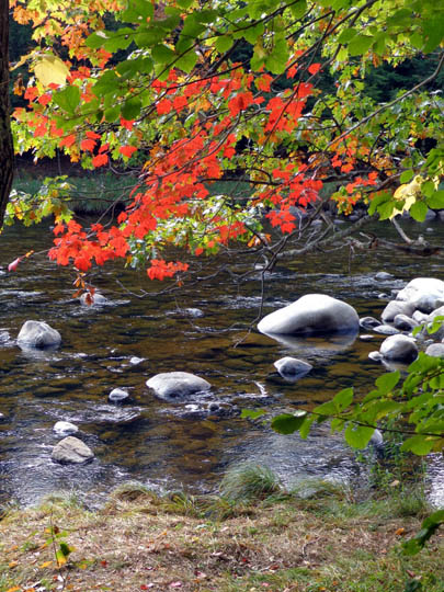
He liked it, too. And Cody had fun swimming in the river. Win-win-win.
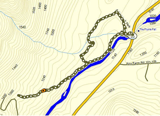
Here's the GPS track of where I hiked out and back along
the river, then a loop through the woods:
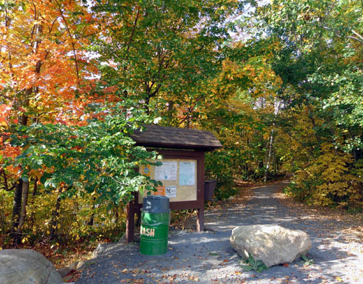
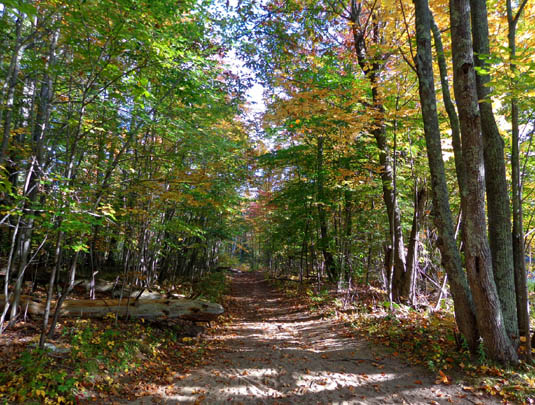
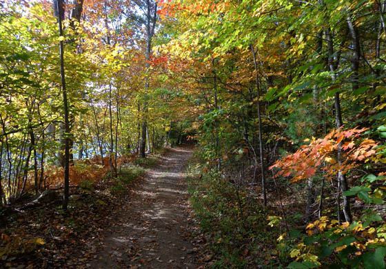
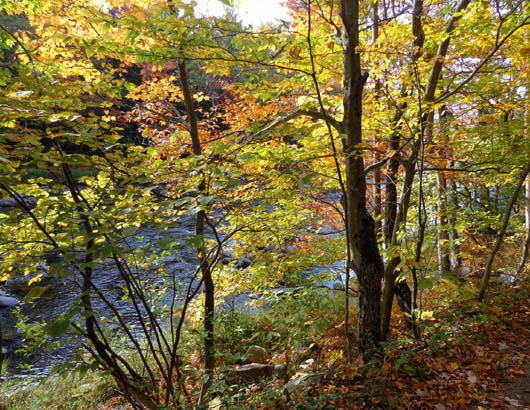
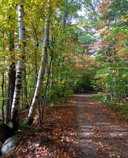
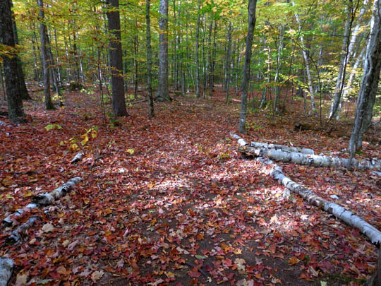
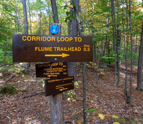
The trail along the river and the connector loop a little bit above it
are mostly smooth and easy to hike and cycle:
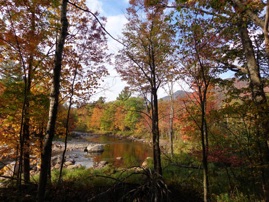
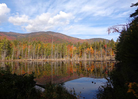
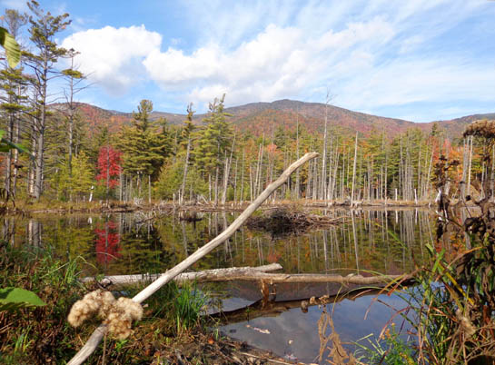
Above and
below: view of Whiteface Mtn. from large beaver pond next to the
Flume Trail
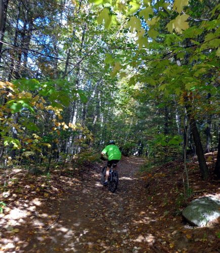
Jim rode his bike a couple miles on the highway to the trailhead, more
than two miles out and back
along the wide trail by the river to the Whiteface Ski Center, up
another trail to help me put out a fire (!), then back to the campground
on the road for a total of 7+ miles.
Since the route was fairly hilly, it was enough for him after his bike
race three days ago.
About 2/10 mile from the trailhead on the connector trail I passed a
tent site with a live fire still going -- and no signs that
anyone was still using the
campsite. I wasn't sure what to do. I didn't have enough water to put
out the fire and the dirt was covered with dry leaves and pine needles.
As I neared the trailhead I saw Jim coming on his bike. He knew exactly
who left the fire going -- two scruffy young men and a young
woman with dreadlocks who were still in the parking area, putting their
camping gear in the trunk of a vehicle with NY plates.
I followed Jim as he rode his bike a short way up the hill to the
campsite. We dug up enough dirt nearby to put the fire completely out.
When we got back to the parking area the perps were gone.
< sign > So many stupid, careless people in this world
. . .
Next entry: camping at Fort Drum
and touring western NY (Sackets Harbor, Cape Vincent, Tibbetts Bay,
Thousand Islands area, etc.)
Happy trails,
Sue
"Runtrails & Company" - Sue Norwood, Jim O'Neil,
Cody the ultra Lab, and Casey-pup
Previous
Next
© 2014 Sue Norwood and Jim O'Neil
