Continued from the previous page.
A TRANQUIL PLACE TO LIVE OR PLAY
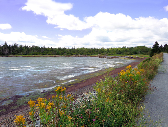
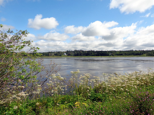
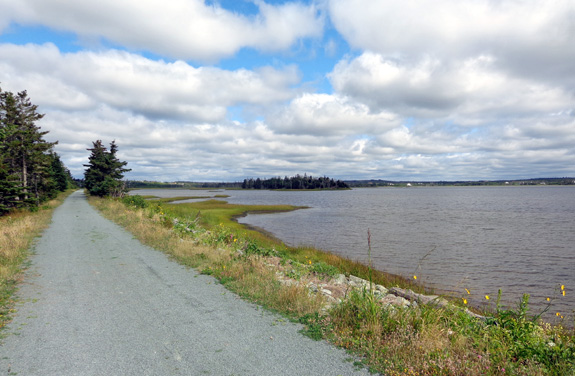
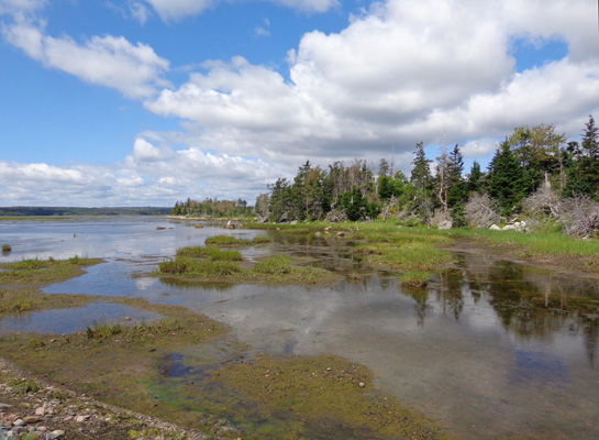
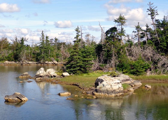
The colors were so beautiful both days we rode through the Salt Marsh
and along the coast -- blue sky and water, huge white clouds,
lots of green marsh grasses and trees, colorful flowers, and brown or reddish mud when the
tide was lower:
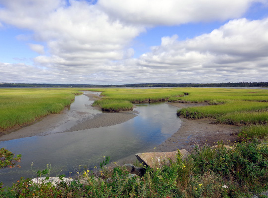
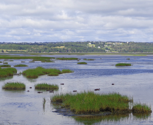
I was envious of the folks whose houses I could see across the marsh in
several places. They have such magnificent views:
TWO SUPER-SCENIC RIDES
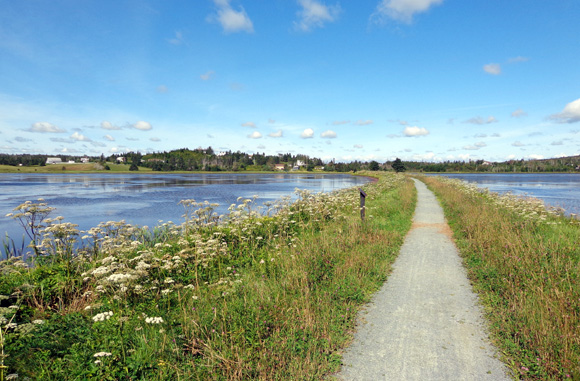
Both times we rode these trails we parked at the trailhead off Bisset Rd.
south of Cole Harbor (SE of Dartmouth) for the Salt Marsh Rail Trail.
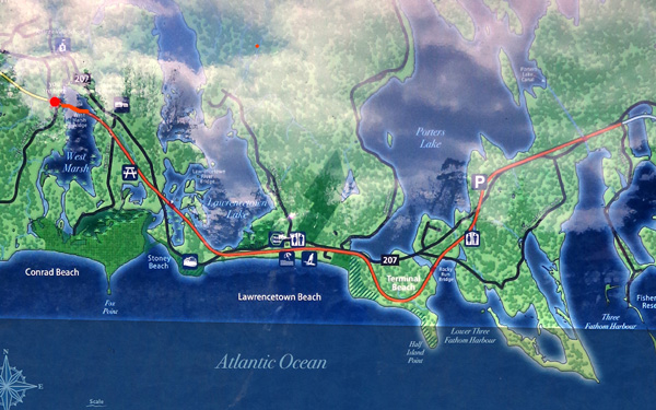
The
Salt Marsh Trail is 6.5 km (4 miles) long. The next section east is
Atlantic View, which is 10 km (6.2 miles) long. That's a total of 10.2 miles
if you go end-to-end on both trails or 20.4 miles out-and-back on
both..
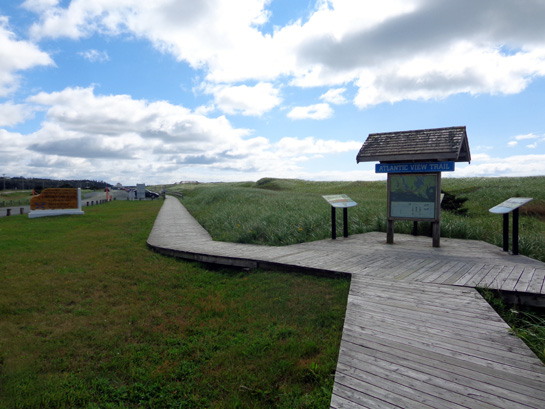
This is a map of the
Atlantic View Trail, in dark orange, that I photographed at the
trailhead where it merges with the Salt Marsh Trail (to the L. on the
map below):
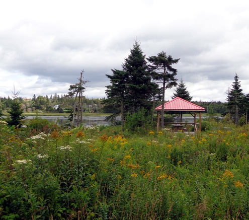
Picnic area near the beginning of the Atlantic View
Trail
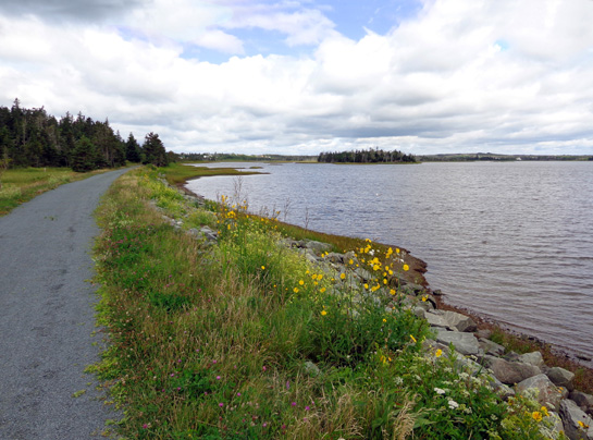
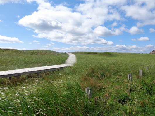
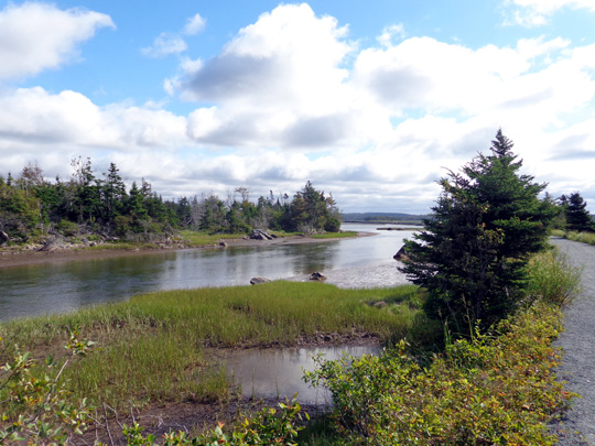
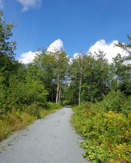
Heading east on the Atlantic View Trail
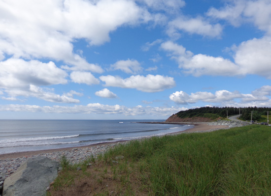
The first time we rode east 6.4 miles on Salt Marsh and Atlantic View.
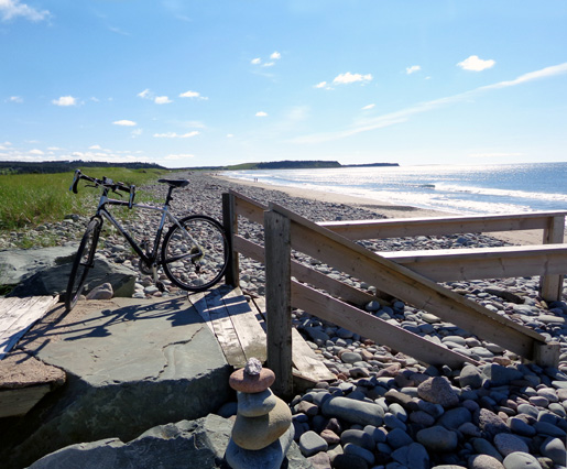
We turned around at Lawrencetown Beach, where we could either go left on the
boardwalk and continue east on the Atlantic View Trail or ascend a slanted boardwalk
to the rocks above the beach:
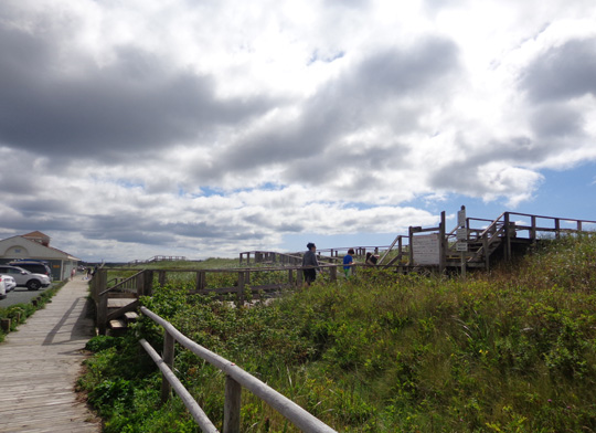
East toward rest of the Atlantic View Trail
Boardwalk to the beach
I took so many photos outbound the first day that Jim met me coming
back when I still had a mile to go to the beach.
When I got there I spent about 15 minutes sitting, enjoying the ocean
views and eating a snack before returning to the trailhead.
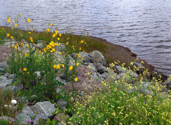
Some views going back:
That day we also both rode west on the Shearwater Flyer Trail. I turned around
at 2.5K when Jim came back to me. He went as far as the Air Force Base
at Shearwater and was able to ride on base without having to
go through security. (More about Shearwater later in this entry.)
I had a total of about 18 miles that day and Jim rode 24 miles in 2.5 hours.
On our second ride
two days later we started at the Salt Marsh trailhead again.
Jim rode a couple miles farther east than I did on the Atlantic View
Trail. I turned around at Lawrenceburg Beach again at 6.4 miles,
rode back to the parking area, then rode 1.1 miles north on the Heritage
Trail to the trailhead for several Heritage Park trails.
Jim caught up to me there and we rode together back to the truck. He had a total
of about 18 miles and I rode 14.4 miles that day. (Photos of Heritage
Trail in a bit . . .)
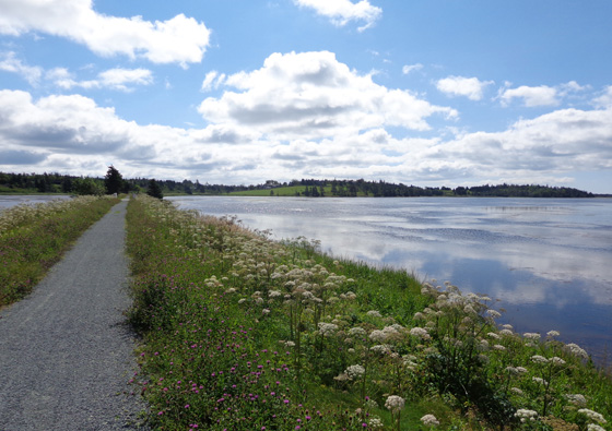
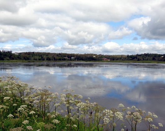
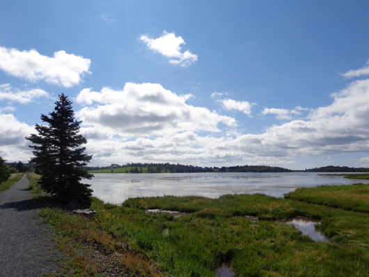
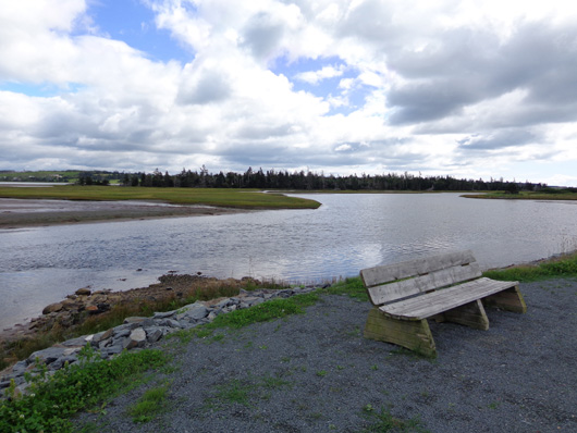
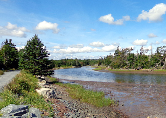
That day was sunnier
and the water appeared more blue. The next three pictures are ones I
took near the western end of the Salt Marsh Trail when the tide was going
back out again:
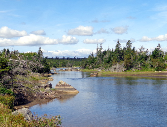
The tide was a little higher on our second ride. Jim liked the Salt Marsh
and Atlantic View trails better when the water was higher. It's a
beautiful area regardless of the level of the water.
Winter photos I've seen are gorgeous, too.
There are signs at
the trailhead warning trail users of black bears in the vicinity but we
didn't see any bears or coyotes. We saw
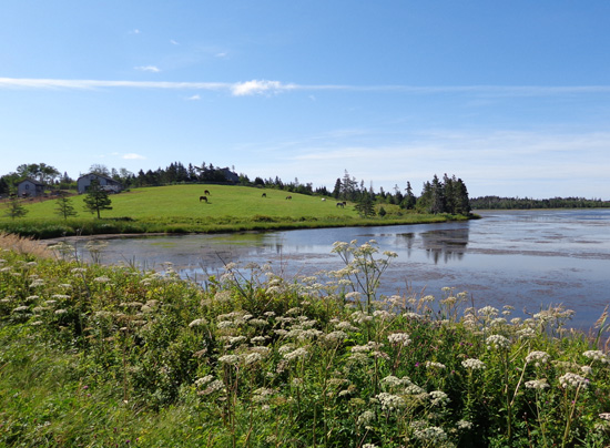
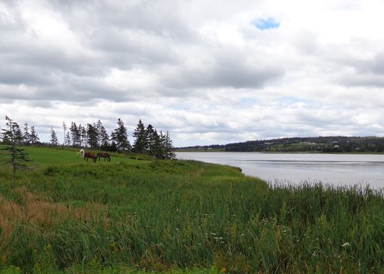
horses at one of the farms we passed on Atlantic View (next two photos)
and Jim saw two snakes on the trail.
Both days we saw a fair number of people on the trails, for weekdays --
walking, running, cycling. ATVs aren't allowed on these trails, as they
are on some other rail trails in Nova Scotia.
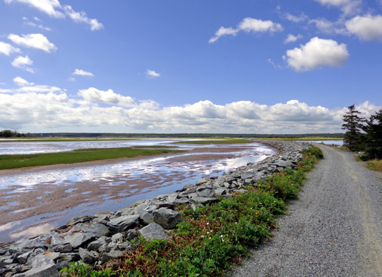
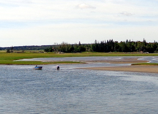
Some folks were digging for clams out on the mud bars while the tide was
low:
If you think that was a lot of pictures . . . I took many more on
those two gorgeous trails. We highly recommend a walk, run, or bike ride
on them if you're ever in the Halifax area (or on x-country skis if
you're there in the winter).
SHEARWATER FLYER TRAIL
This trail is also a former rail bed. It stretches 7.5 km (4.65
miles) from Halifax Harbor to Cole Harbor and ends at Bissett Rd. where
the trailhead for the Salt Marsh Trail is located.
Jim rode the entire length of this trail and more --
through the Air Force Base at Shearwater -- but he didn't take
any photos. Since I rode this trail for only 1.5 miles and saw
nothing more than a green tunnel, I took very few pictures.

I would have had more photos if I'd gone the whole length of the
trail and saw more interesting features like the bridges over four or
five streams, popular with fishermen.
The good thing for Jim was that he rode faster on this nice, smooth
trail because he wasn't as distracted by the scenery as he was on the
Salt Marsh Trail!
HERITAGE TRAIL
The Heritage Trail is different than Salt Marsh, Atlantic View, and
Shearwater Flyer -- smooth but hilly,
curvy, and more narrow. It's not a former rail bed but a "regular" trail.
Going uphill from the Salt Marsh
trailhead
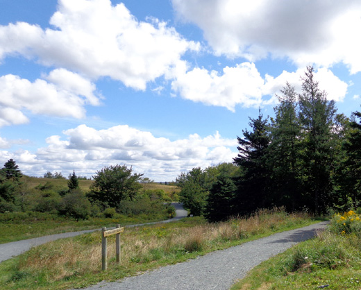
The start of two trails at
Heritage Park (Heritage Trail is on the right).
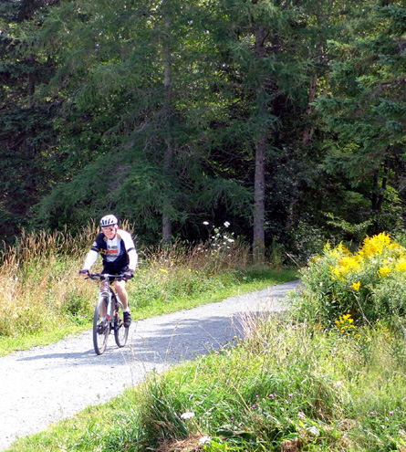
Jim riding on the Heritage Trail
The Heritage Trailt stretches south for just over a mile from the large
parking area for Cole Harbour Heritage Provincial Park to the parking
area for the Salt Marsh Trail. Our second time at Salt Marsh we both
rode up and back on this trail at the end of our ride.
The 400-acre park has seven hilly, multi-use trails with a total
distance of 14 miles. If we'd been in the area longer it would have been
fun to ride and hike all these trails. The scenery is great!
So many trails, so little time . . .
Next entry: photos from scenic drives along the
coast south of Halifax -- St. Margaret's Bay, Mahone Bay,
iconic Peggy's Cove, colorful Lunenburg, and other seaside vistas
Happy trails,
Sue
"Runtrails & Company" - Sue Norwood, Jim O'Neil,
Cody the ultra Lab, and Casey-pup
Previous
Next
© 2014 Sue Norwood and Jim O'Neil
