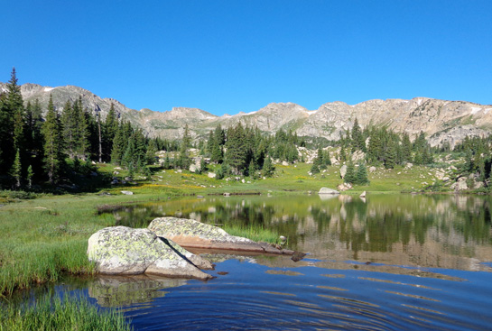
Continued from the previous page.
SEA CAMP BEACH CAMPGROUND
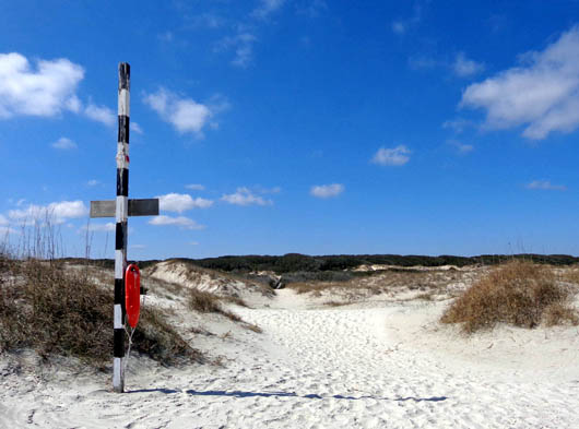
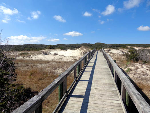
Paths through and boardwalks over the dunes are few and far between on
Cumberland Island. Visitors are required to stay on established trails
and boardwalks through the dunes so they aren't damaged. They're fragile
enough as it is.
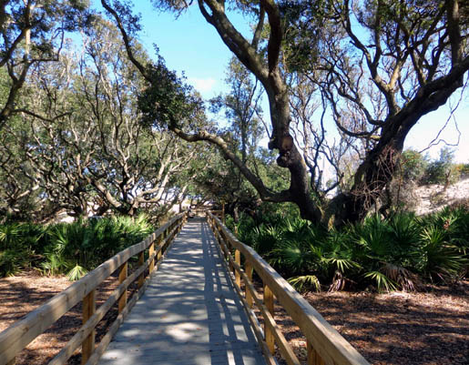
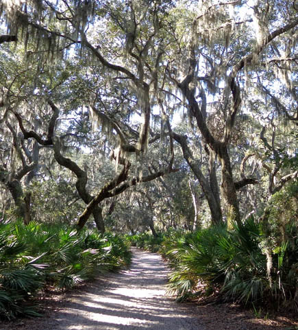
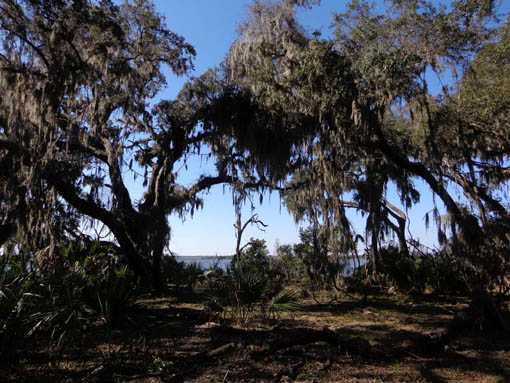
The next trail I came to going north took me to the Sea Camp tent
campground in about a quarter mile:
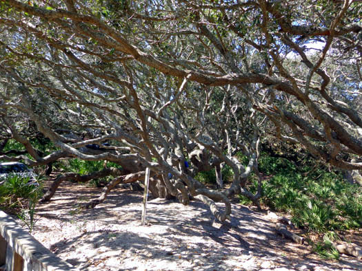
I was amused to see three young male park employees stretched out on low
limbs in one of the huge live oaks near the campground, enjoying lunch
and some down time:
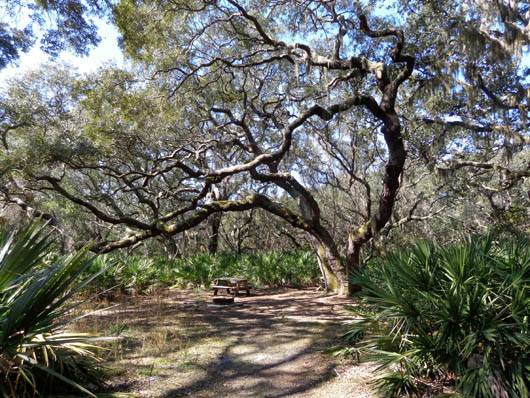
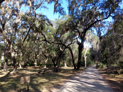
The Sea Camp campground is pretty interesting. The tent spaces are large
and secluded. Visitors have a bathroom and water faucets to get fresh
water.
An empty tent site in the campground -- isn't that
beautiful?
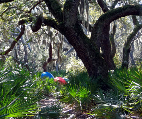
Palmettos provide privacy in this site.
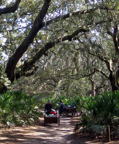
Several incoming campers were lugging their packs and supplies on the
carts they borrowed from the ranger station at the dock. Campers have to
haul their gear and supplies about half a mile on a sandy trail:
There are also three backpacking campgrounds from four to eight miles
north of the Sea Camp dock.
WHAT ELSE IS THERE TO SEE??
My goal today was to see as much as I could possibly see before the
ferry left Sea Camp at 4:45 PM. I didn't know if I'd be back again so I
was trying to maximize my time.
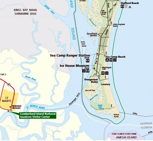
Here's the map of the
southern end of the island again:
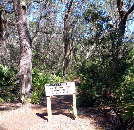
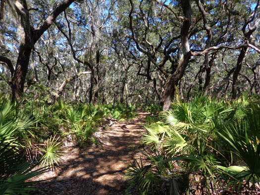
After I left the Sea Camp campground I went north on the Parallel Trail, a very
nice but rooty trail through the palmettos and live oaks:
It crossed two private roads. I took the second one left (west) toward Greyfield
Inn but didn't go onto the hotel grounds because of the "Private" signs.
I walked south on the main park road, which is like a wide sandy path:
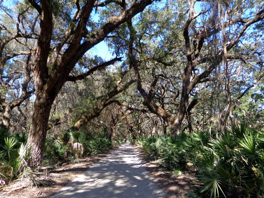
I passed several private homes but didn't see anyone else on the road except an older
couple cycling.
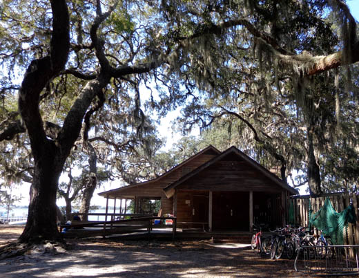
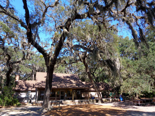
SEA CAMP RANGER STATION
When I got back down to the Sea Camp trail I took it west to the Sea
Camp ranger station and dock area:
I talked with the female ranger in the station for a little while.
One of my questions was where all the wild horses are. She
said three had just been at the ranger station but went north about 30
minutes before I arrived. I saw horse poop everywhere I walked today, including
the main road, side trails, Dungeness grounds, and beach, but at that
point (2 PM) I hadn't seen any horses.
The ranger said there are 150-160 horses spread out over the entire
island, which is 17 miles long, but visitors are usually able to see
them in the south part of the island.
MY FINAL CIRCUIT
I had another two hours to kill before the 4 PM ranger talk at the Sea Camp
ranger station so I continued hiking a circuitous route to the south.
Most of the trails and road sections were ones I hadn't been on earlier
in the morning.
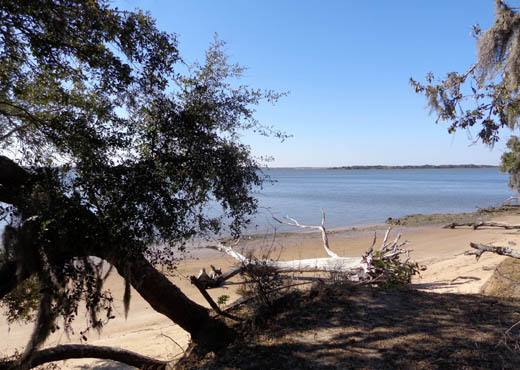
First I followed the River Trail about a mile south to the Ice House
Museum. The trail has some scenic views of Cumberland Sound:
From the Ice House Museum I walked east again on the road to Dungeness
and finally saw two of the horses.
I walked off the road so I could get a little closer to take pictures
but without disturbing them:
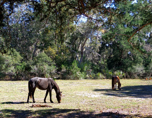
The horses on Cumberland Island are used to people but visitors are
asked not to pet or feed them.
I was hoping to see
more horses but I should be grateful that I saw these.
I talked with several other visitors this afternoon who didn't see
any horses all day.
I continued on to Dungeness, walked around the ruins again, and followed
a loop road past the old support
buildings for the Carnegie estate. They currently house park offices and
living quarters for park staff.
I eye-balled both ends of the Nightingale Trail but didn't know if I'd
have time to hike all of it. I think it's similar forested terrain as the Parallel Trail.
I walked north on the main road (above) to the Sea Camp Trail and went
back to the ranger station.
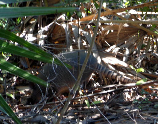
Along the way I saw an armadillo just a few
feet off the road:
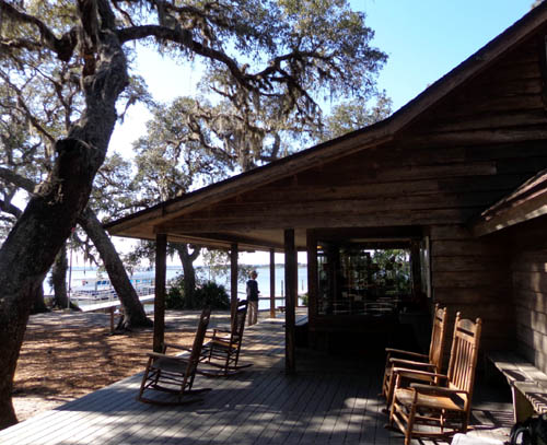
I was about 20 minutes early for the ranger talk so I just rested on the
porch and ate some snacks I'd brought in my backpack.
The "ranger talk" was an interesting 30-minute video about the people
who used to live on the island and how it became a National Seashore.
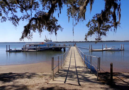
RETURN FERRY RIDE
We began boarding the ferry after the video was over.
As we were waiting to leave the dock someone pointed out some dolphins
in Cumberland Sound. They were fun to watch as we headed back to St. Marys.
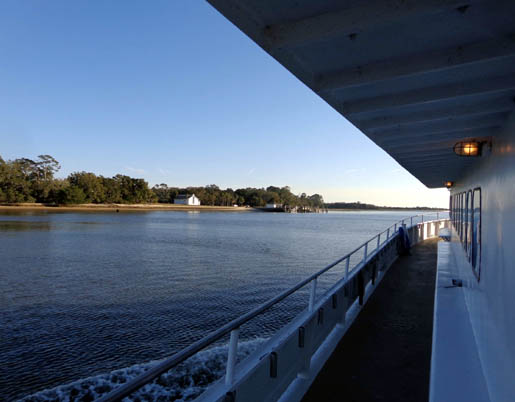
The ferry left the Sea Camp dock promptly at 4:45 PM and headed to the
Ice House Museum dock to pick up the passengers waiting there:
There were fewer folks on this ferry than on the one I rode this
morning. Many of the folks heading to the island this morning were
there to camp for the weekend.
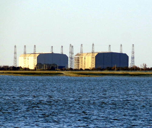
I was able to get this photo of part of the Kings Bay Sub Base that we can't access:
When we got back to St. Marys about 5:30 I spotted Jim and Casey on a
bench in the little park above the gangway. I thought Jim might do that. Casey
loves being around people.
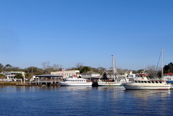
Approaching the dock at St. Marys
I really enjoyed my time on the island today. The weather was perfect
for hiking and photography.
I hiked eleven miles but didn't get too tired because of the relatively
flat terrain and all the stops I made. I'd like to go back again when
we're here at the end of March and see some things I didn't see today or
do the Lands & Legacies Tour to the north end of the island.
Next entry: visiting more Georgia barrier islands
-- St. Simons and Jekyll, two of the "Golden Isles"
Happy trails,
Sue
"Runtrails & Company" - Sue Norwood, Jim O'Neil,
Cody the ultra Lab, and Casey-pup
Previous
Next
© 2013 Sue Norwood and Jim O'Neil