Continued from the previous page.
SCENES ON THE WAY TO THE BEACH
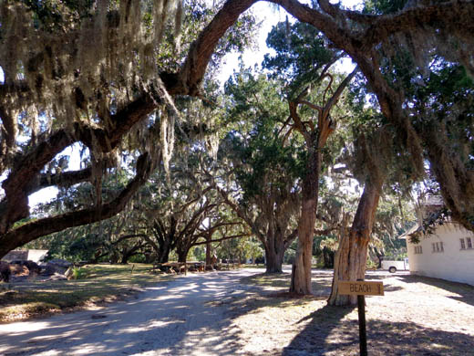
It's another half mile walk to the beach from the Dungeness ruins.
On the way out to the beach I passed other old buildings including the
former recreation building, carriage house, servant quarters, machine
shop, carpentry shop, commissary, and smoke house. Some of these
buildings are used now for park employee housing and offices.
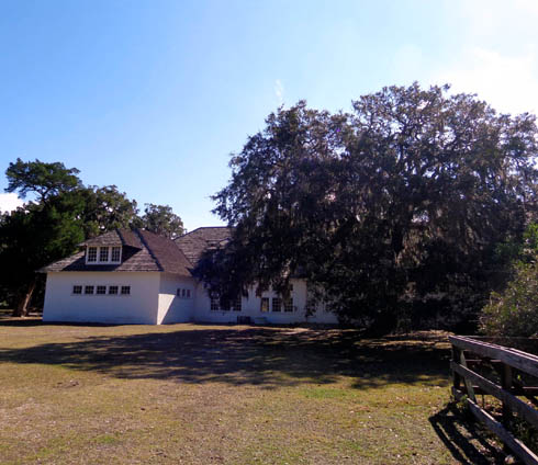
This building was the Carnegie's carriage house and servants' quarters.
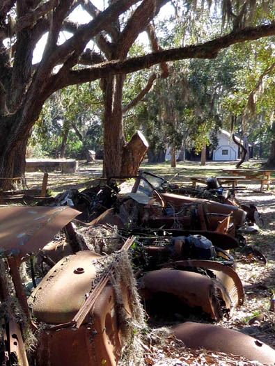
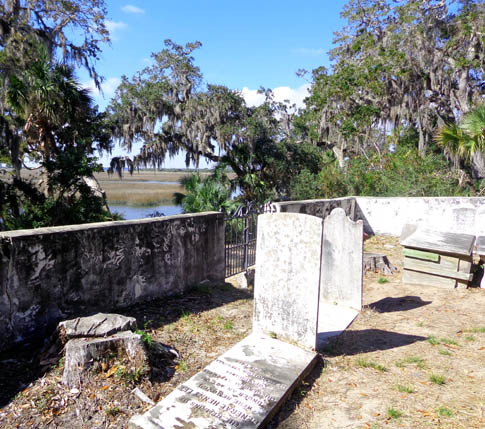
I also passed some rusted carcasses of old cars and the old
Greene-Miller cemetery above the estuary:
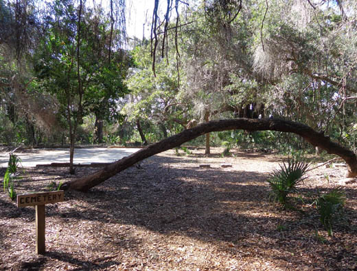
Path to the Greene-Miller cemetery
Visitors can continue straight to the beach on a wide sandy path or
add about a quarter mile on an alternate route.
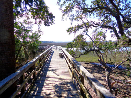
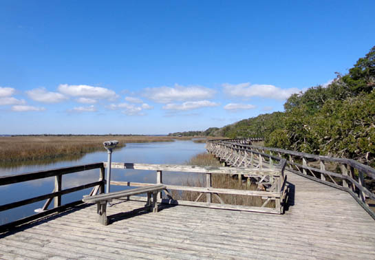
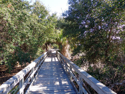
Instead of going straight
I dropped down to two long, half-loop boardwalks through the salt marsh, dunes, and maritime
forest before returning to the sandy road and reaching the beach. Here
are some photos from the first section of boardwalk over the
marsh:
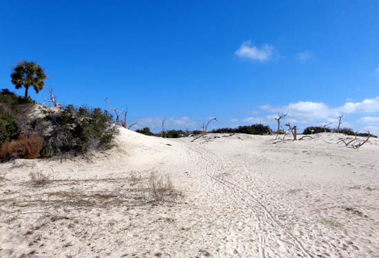
At the end of the boardwalk the
trail goes back up through soft white sand. Note the dead tree trunks
sticking out of the sand:
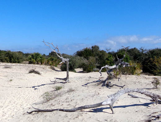
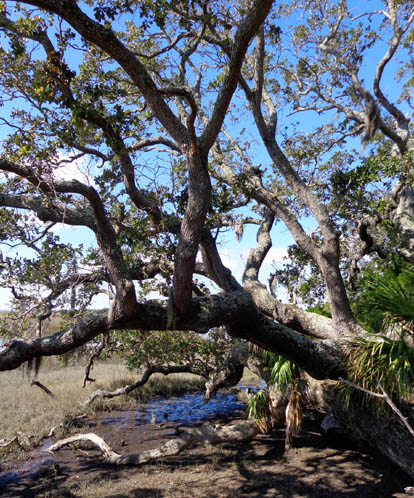
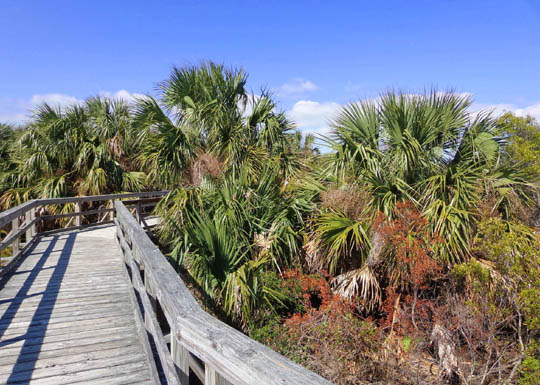
I walked along the main trail to
the beach for a little while before taking the path to the second
boardwalk loop. This one went through forest and dunes:
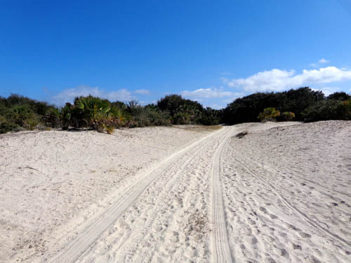
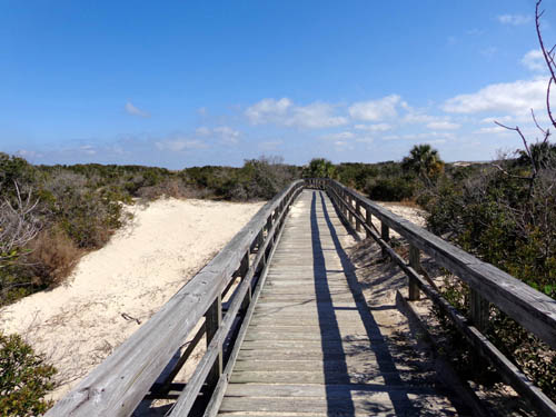
Back on the main trail I soon came
to the dunes next to the beach:
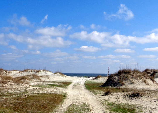
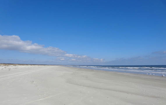
SCENES FROM THE BEACH
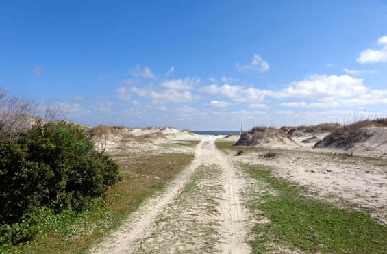
I love barrier beaches with beautiful sand dunes. Cumberland has some of
the nicest I've ever seen.
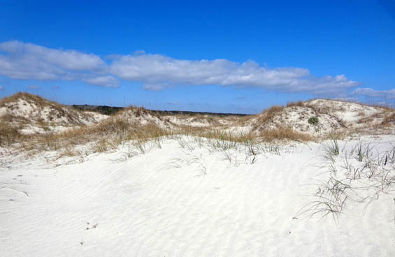
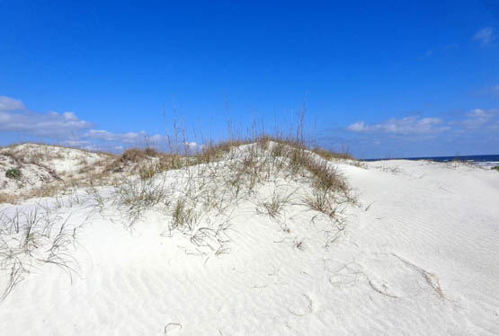
The dunes are almost white and very scenic with all the sea oats growing
out of them. Dunes are fragile and constantly moving. Visitors are told
not to walk on them so I didn't, although I could have gotten some
better photos that way:
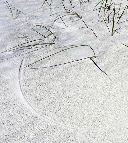
Some of the ripples and impressions made by grasses blown by the wind
are interesting, as are bird/animal tracks through the sand:
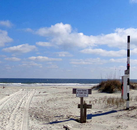
In some of the beach photos you can see tracks made by trucks and other
vehicles. As this sign indicates, only authorized vehicles are allowed
on the beach:
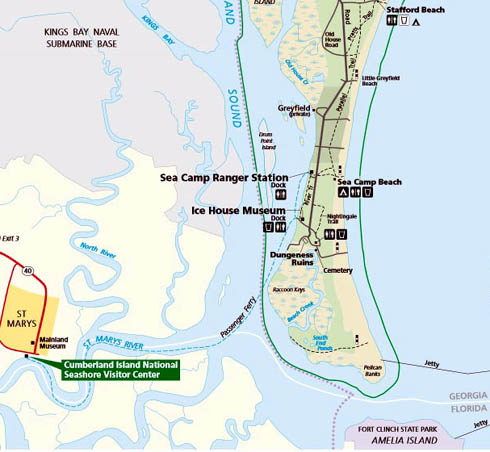
View to the south; I didn't go that way. About two
miles down the beach is a trail to some ponds.
Here's the NPS map
again of the southern portion of the island:
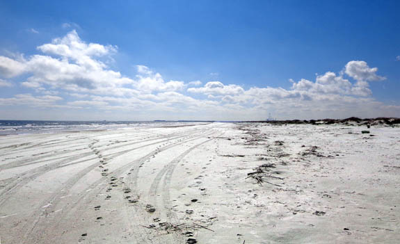
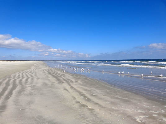
When I got out to the beach I walked north for 1
˝ miles between
the Dungeness access and the Sea Camp access points.
I really enjoyed that hike on the wide stretch of sand a little
before high tide:
Lots of shells had already washed up and more were coming in. I don't
think anyone walked that stretch of beach this morning before me because
there were some great shells to be had.
I threw several live whelks back into the water and kept five or six
empty ones.
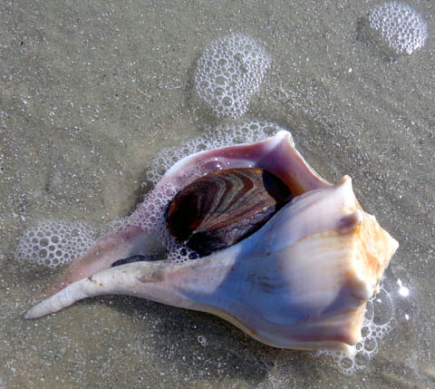
That's a live one.
Whelks are large, carnivorous snails that live in temperate waters.
Their shells are similar to herbivore conchs that live in tropical
waters.
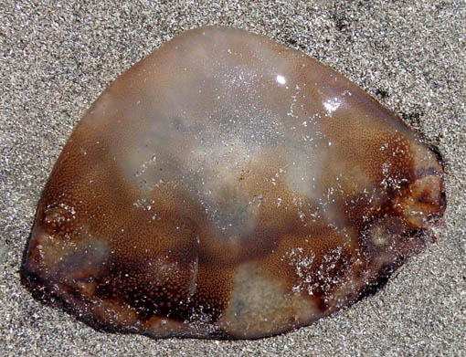
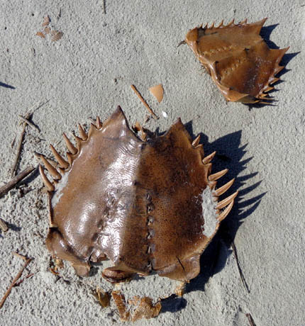
There were also live, stranded jellyfish and lots of empty horseshoe crab shells:
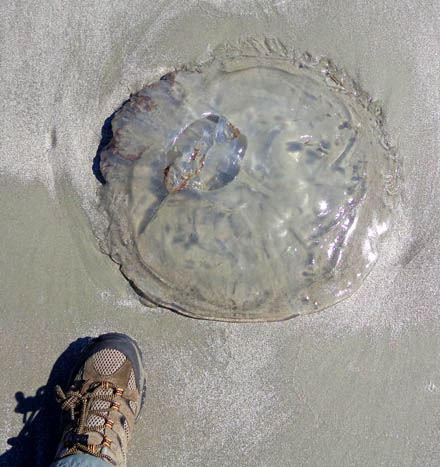
That's a BIG
jellyfish! I wear a men's size 10 trail running shoe.
I didn't see any sea turtles or sharks' teeth. There is quite a
collection of sharks' teeth at the Sea Camp ranger station.
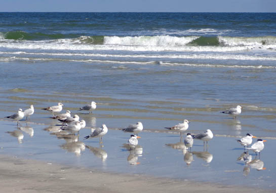
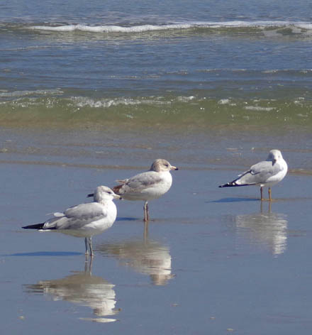
I also enjoyed seeing all the birds at the beach:
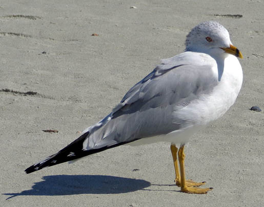
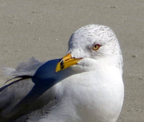
Around noon I sat on some driftwood to eat my lunch. A lone
sea gull walked close to me and waited for a snack; I didn't feed it
but took several photos:
Two young couples walked by when I was eating lunch, the only people I
saw on the beach until I reached the Sea Camp campground.
Continued on the next page: lots more island scenes,
including an armadillo and two wild horses
Happy trails,
Sue
"Runtrails & Company" - Sue Norwood, Jim O'Neil,
Cody the ultra Lab, and Casey-pup
Previous
Next
© 2013 Sue Norwood and Jim O'Neil