Continued from the previous page.
EXPLORING THE RIDGE
It took a lot of work to get up to the west end Healy Ridge through the low plants and rocks
in the tundra but it was fun.
Here is a series of
photos in chronological order that shows some of the terrain and views:

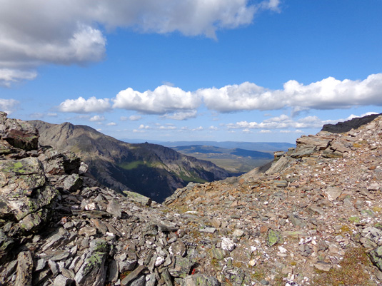
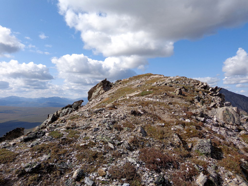
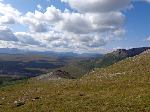
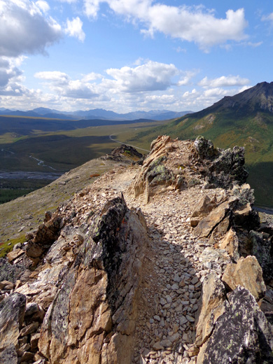
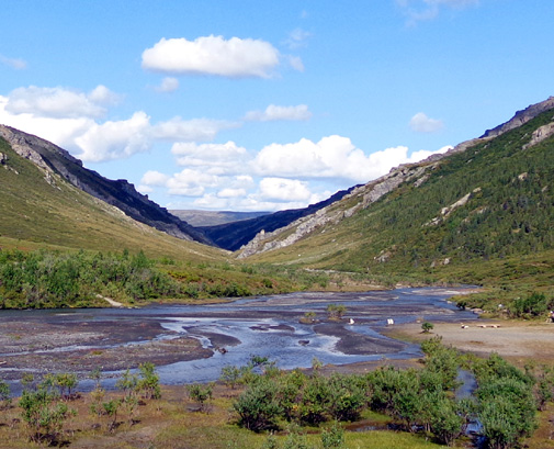
Savage Canyon to the left and the river valley and
low mountains in the distance
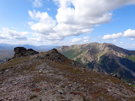
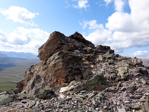
Summit of Mt. Margaret beyond the ridge I was
hiking
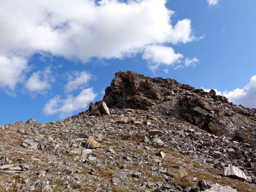
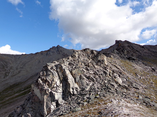
Peeking over the edge of the ridge
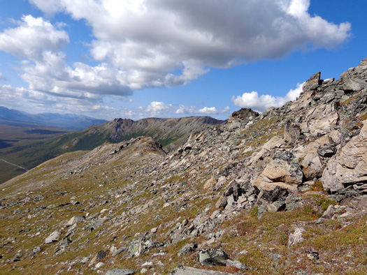
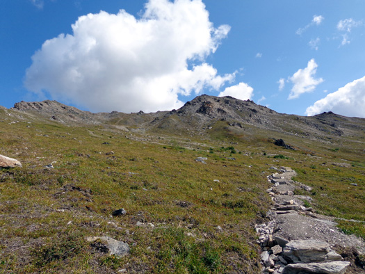
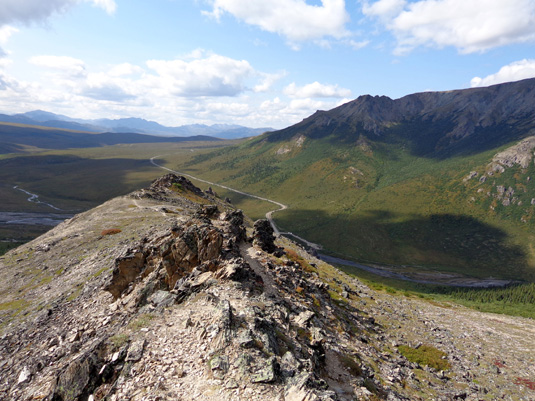
There are a lot of "false plateaus" along this
ridge, which keeps on going and going . . .
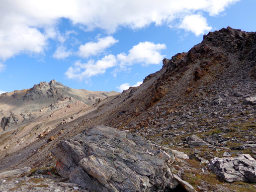
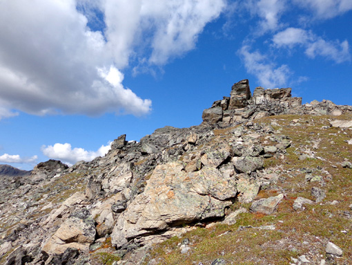
Looking back along the ridge
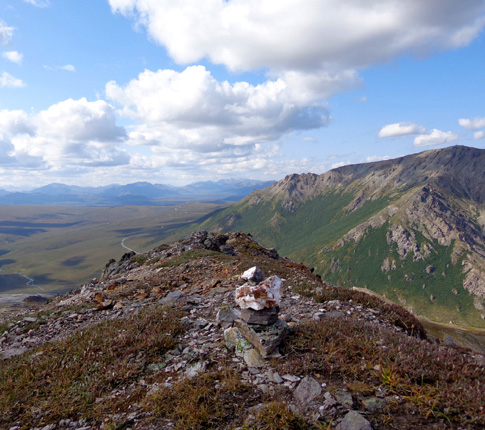
Note the cairn
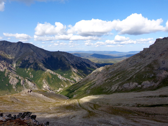
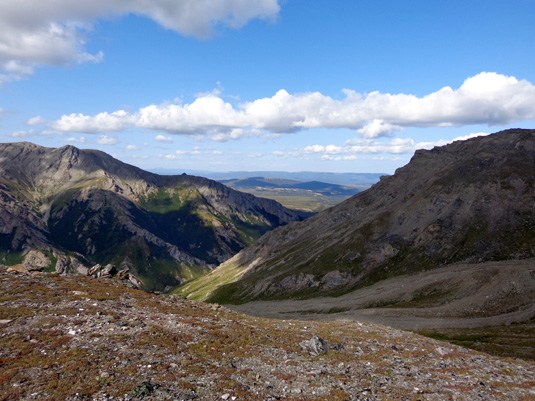
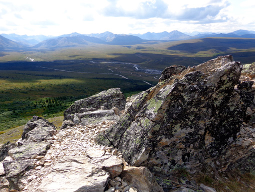
Looking down into Savage Canyon and the valley to
the north
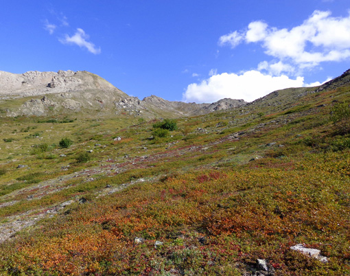
I walked about 1˝
miles in the tundra beyond the maintained trail and on the long upper ridge. I had the place to
myself after talking to the German couple near the rocky spine on the
lower ridge.
PHOTOS FROM THE DESCENT
I made two modifications on the descent to shorten the distance.
I completed a tundra
loop by hiking
a tangent down from the west end of the ridge, aiming for the faint path
I'd used on the ascent:
Looking back at the ridge from the partially
constructed path where I saw the curious ground squirrel
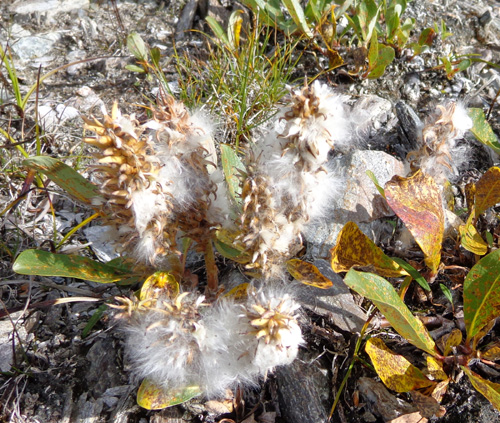
I can't remember or find the name of this plant, which is
bursting with fluffy seeds.
I think it's a plant that bears eat. (I saw
some bear scat on the mountainside.)
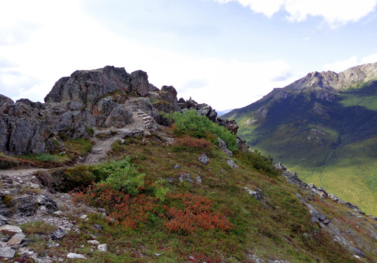
Here are some views of the trail through the lower rocky spine as I descended:
At this point (where I'm standing in the foreground in the next photo) I decided
to drop down to the river on the right, through what looked like pretty low
vegetation in a gulch. My goal was to avoid some of the rock steps on the
Alpine Trail:
Looking back up toward the ridge as I descended
through the gulch
It also cut out some of the switchbacks on the trail. Unfortunately I ran into a
dense stand of willows half a mile from the trailhead and had to return
to the Alpine Trail before I got back to Savage Rock.
Sometimes mountain slopes look easy to navigate from a distance, but up
close it can be very difficult to walk through the vegetation. This
isn't the first time I've made this mistake and it probably won't be the last.
View to the Savage River bridge from the Alpine
Trail above Savage Rock
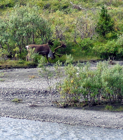
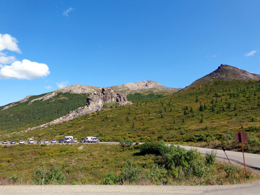
CARIBOU!
Before crossing the bridge to the truck I walked over to some folks who
had long camera lenses to see what they and all the buses had stopped to
look at. It was the same large caribou bull that was in the river bed when I
first started my hike.
I got better pictures of him after my hike because he was at the edge of
the willows and not hidden in them:
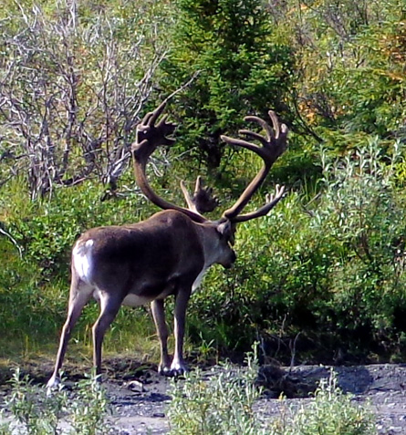
I got even better pictures of another handsome male caribou on the
“gravel bar” section of the Savage Canyon Trail AKA the River Loop
Trail, which was Hike #2. That's covered in the next entry.
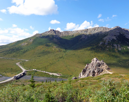
I took these photos of the west end of Healy Ridge and the Savage
River Canyon as I walked across the bridge to our truck:
Ridges where I just hiked
Savage River Canyon
Next entry: I'm headed for that canyon in my second hike
of the day
Happy trails,
Sue
"Runtrails & Company" - Sue Norwood, Jim O'Neil,
and Cody the ultra Lab
Previous
Next
© 2012 Sue Norwood and Jim O'Neil
