Now there's an optimist!I'm not only an optimist, I am
fascinated by clouds and I love to take pictures of them. They are a
never-ending source of photographic material -- unless the sky is
totally blue or it is dark!
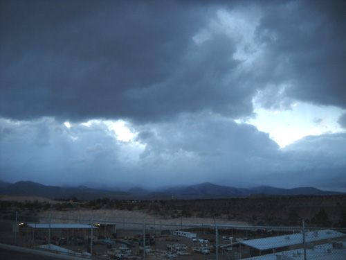
Even though part of this entry concerns another region of the
country, all of the photos in this entry are from various storm systems that have moved
through the Los Alamos area in the eleven days we've been here so far.
I've also
included lots of blue-sky pictures in my recent entries. Most of the
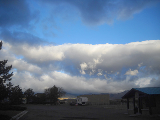
time the weather has been beautiful, but it's been common nearly every
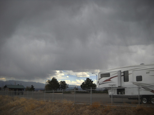
day to have storms like this one build up over the mountains:
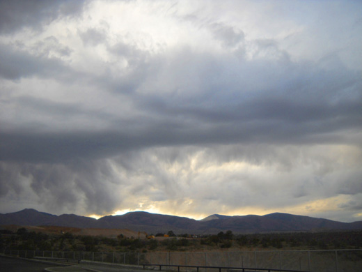
They usually don't last long.
These aren't your normal mid-summer Rocky Mountain "monsoonal" rains
that predictably arrive almost daily in the afternoon. These storms have come
at all hours of the day and night. Every morning I wake up and wonder
what weather surprises that day will hold.
Mountain weather is probably more schizo than anywhere else. Fortunately
it's not usually as destructive as tornadoes and hurricanes.
DISASTER IN MID-AMERICASpring is always a tumultuous time across the middle of the country,
what with tornadoes and flooding and all, but this year Mother Nature
seems to be unleashing more weather fury than normal.
So far, Jim and I have been able to avoid most of the mayhem
directly.
We avoided the tornadoes that struck other communities in
southwestern Virginia while we were at our house near Roanoke in April, we found
a different route to New Mexico earlier this month to avoid the worst of
the flooding in the Mississippi River drainage area, we didn't encounter
any bad storms during that cross-country trek, and we haven't been
affected significantly (yet, at least) by either the high snow pack in
the Rockies or the severe drought in Texas and New Mexico.
But other people have, and their lives have been altered either
significantly -- some forever.
This spring's worst weather disaster occurred on Sunday in Joplin, Missouri
when a ferocious Category F5 tornado struck the city. The death toll is already
up to about 120 people and may rise as emergency workers sift through the
rubble of several thousand homes and businesses that were damaged or
destroyed.
Hundreds of people are listed as missing; hopefully, that is
due to disrupted communications and they are safe elsewhere.
The wide area of destruction has been called "apocalypic" and described as looking
like the damage wrought by bombing in WWII.
Bark was
stripped off trees, which are either flattened or broken-off stumps with
sharp edges silhouetted against the sky. Metal was twisted in odd ways
in the 200+ MPH winds that tore the city apart. One of two hospitals was
severely damaged, adding to the difficulty of treating storm victims.
Monday there were more thunderstorms in the area and two first
responders were struck by lightning while rendering their services to
others.
Can it get any worse than that?
It may, as this huge, destructive storm system moves eastward through
the Plains, Midwest, and East.
Disasters like this are always more sobering to me when I've recently
been in a place that's in the news for something awful. We spent the
night at Sam's Club in Joplin only two weeks ago! We could just as
easily have been victimized by this storm as the people who were.
I'm glad we're farther West now, where tornadoes are less likely to
strike.
MORE WEATHER ANGST OUT WEST
We still have to watch for wildfires in drought-stricken areas of the
Southwest and dangerous winds and lightning in the mountains, however.
Flooding is an additional concern this year because of the extra snow
that remains in the Rockies after this year's record-breaking snowfalls
in many areas.
Right now there is flooding near Hardin, MT and the large Crow
Reservation. Sixty miles of I-90 are closed between Billings and the WY
border. Folks in both states, as well as downstream in the Yellowstone
and Missouri River drainages, have been warned about serious flooding
from this year's excess snow melts.
That's sure to cause more havoc along the Mississippi, too.
Flooding could spell even more trouble for the Bighorn Mountains than
the high snow pack. Will the excess snow and high streams force the
cancellation of the Bighorn races in three weeks? Will we be able to
camp at the Foothills CG in Dayton, WY like we usually do? It sits next
to the Tongue River and we've seen the tent sites next to the river
flooded previously.
For the first time, we aren't in any hurry to get there. We'll find
other (drier) places to visit while we monitor the situation in the
Bighorns.
Our safety is more important to us than any race, which is a
frivolous activity in comparison to all the weather catastrophes across
the country this year.
SKY DRAMA OVER THE JEMEZ AND SANGRE DE CRISTO
RANGES
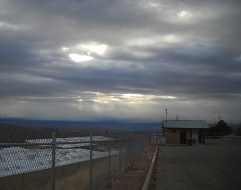
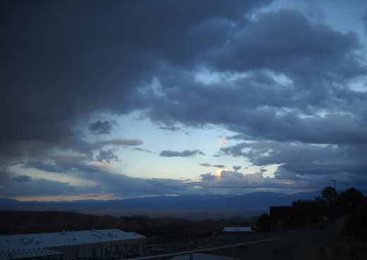
Meanwhile, nearly every day in Los Alamos we've been treated
(subjected?) to interesting storms that gather over the Jemez and Sangre
de Cristo mountain ranges on either side of the city.
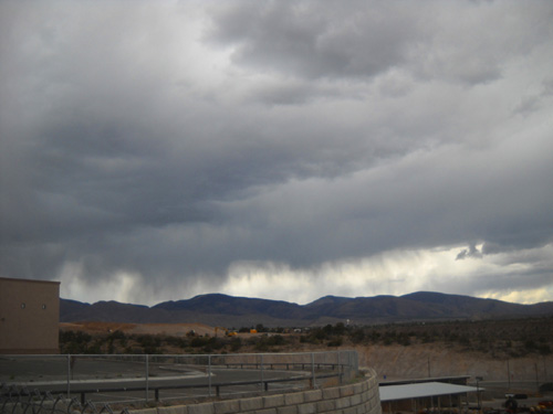
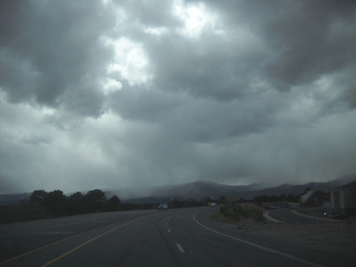
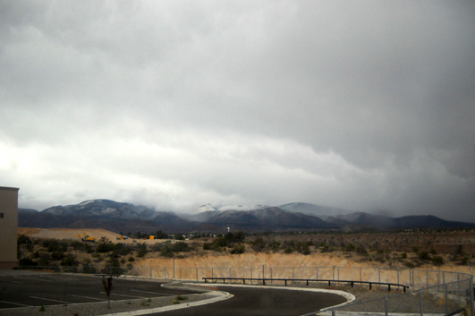
Incoming rain over the Jemez
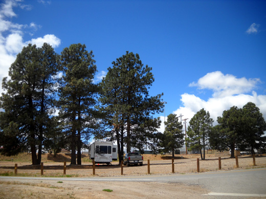
Our position on Los Alamos Mesa gives us a panoramic view of the sky as the storms pass
over the wide valley between the mountains. Most of these pictures were
taken from our camping spot at the Eastgate-Sunrise Park next to
DeColores Restaurant and above the county maintenance facilities..
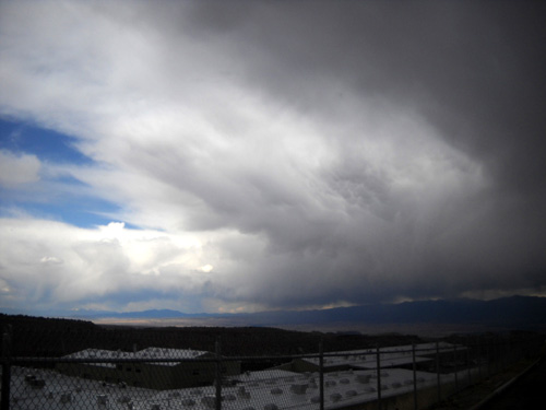
It's been more fascinating than scary to watch the storms pass
through, as long as we
stay inside the camper when lightning is near.

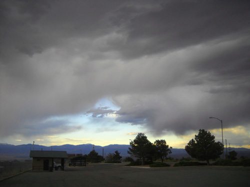
This downpour is just a few hundred feet from our
camper.
I've noticed recently that Cody-pup is becoming fearful of thunder. Maybe we've just been in more storms than
usual this year. The closer the claps of thunder, the closer he gets to
one of us as he seeks reassurance. I'm surprised he hasn't been paranoid of storms since the close
encounter we had with sleet, snow, and lightning on Coney Summit (Colorado Trail Segment 22-23) several years ago.
I don't remember this many storms the last two times we've been in Los
Alamos in May. There have been some very dramatic cloud patterns. The
area desperately needs the rain but not the risk of fires from lightning
strikes.
Despite all the rain it looks like has fallen in these photos, it's
still very, very dry.
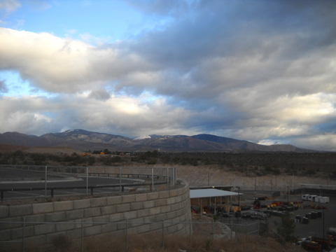
STILL SNOWING IN LATE MAY
Several mornings we've awakened to see snow on the nearby Jemez
Mountains:
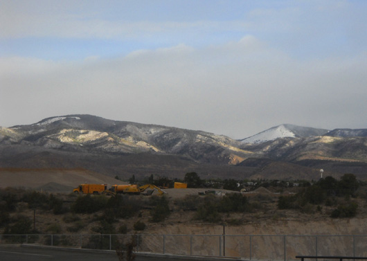
View of snow on 10,480-foot Caballo Mountain (L)
a few days ago;
I forget the name of the peak on the
right.
The peaks in the Jemez Range that we can see from town are about 10,000 to 11,000
feet elevation.
Most of the snow that has fallen there in the past week has melted in a
day or two.
One day we even got some snow in town, but it melted as soon as
it landed. That was a bit of a surprise at 7,500 feet as far south as
New Mexico in late May.
The Sangre de Cristo Range to the east of Los Alamos has several
summits that are 12,000 to
13,000 feet high; snow has remained on those peaks the whole time we've been here:
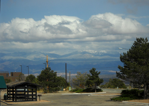
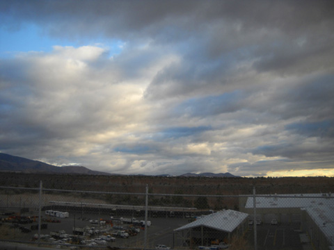
The next picture shows snow on several of the Sangre de Cristo peaks,
although it's a bit hard to distinguish between snow on the mountaintops and
the white clouds hovering over them:
View of Otowi Mesa and the Sangre de Cristo
Range from Kwage Mesa
WAIT A MINUTE & THE WEATHER WILL CHANGE .
. .
Mother Nature was beyond schizophrenic on May 20; that day she
displayed multiple personalities.
I took photos throughout the day -- when I got up, as we
moved from Eastgate-Sunrise Park to the parking area across from
the Posse Shack, and during a hike in Bayo Canyon.
Following is a series of photos (in order) that demonstrates the
wide variety of cloud patterns I noted in every direction that day, starting in the
early morning:
Everything had a blue cast early that
morning -- or maybe I need a new camera!
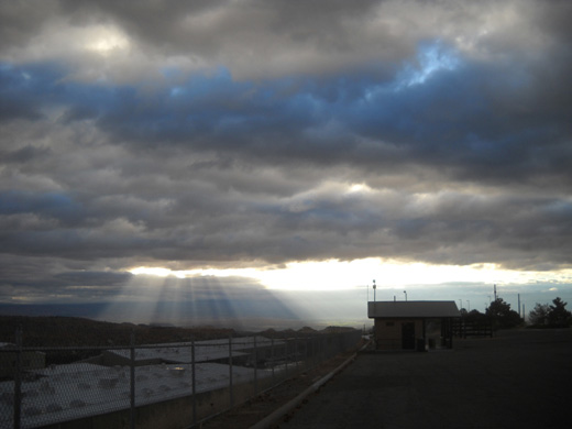
Early morning sunrays pierce the heavy clouds
to the east.
These unusual "sausage" clouds moved in
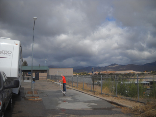
a little while later (it's about 8 AM now).
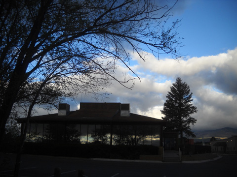
DeColores Restaurant is silhouetted against
the changing sky.
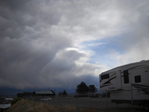
It's still only about 9 AM and a second storm
is coming in from the Jemez;
Jim's getting the camper ready to move a
few miles to
North Mesa for the race.
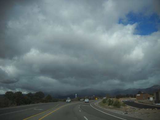
Nearby rain as we drive past the airport on
our way to North Mesa
By 11 AM this is what the sky looked like to the south from our
parking spot near the Posse Shack:
What a difference from a couple hours earlier!
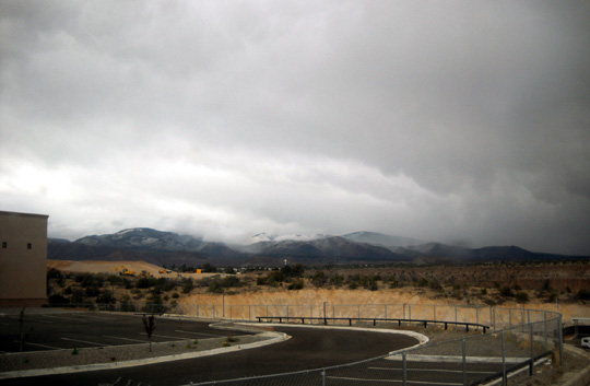
In the early afternoon gray clouds were still alternating with
fluffy white ones when Cody and I walked through the
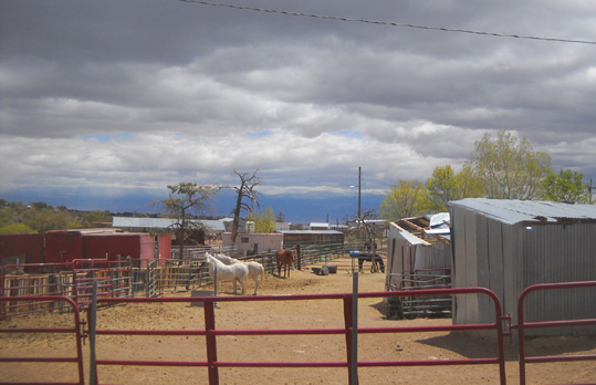
stables to get to the Bayo Canyon trails:
Looking toward the Jemez Mountains
View toward the Sangre de Cristo Range
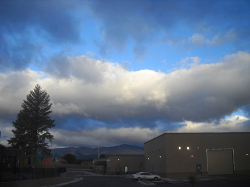
ANOTHER DAY, ANOTHER STORM OR TWO
We really want to hike some trails at Bandelier National
Monument before we leave the area on Thursday. It's already
Tuesday, and today's weather forecast wasn't conducive to that
so we didn't drive down to Bandelier:
More snow in the Jemez Range today
Another storm over the Sangre de Cristo
Mountains, too
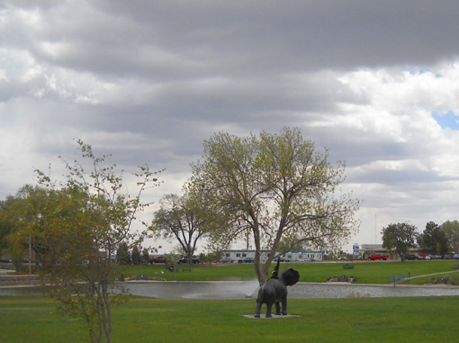
Continued threat of rain in the city
(that's the rear end of an elephant sculpture
at Ashley Pond, not the critter's
most flattering side)
So . . . I wonder what Mother Nature has in store for us
tomorrow??
Next entry: the forecast looks better, so we're headed to
Bandelier National Monument on our last full day in the Los
Alamos area
Happy trails,
Sue
"Runtrails & Company" - Sue Norwood, Jim O'Neil,
and Cody the Ultra Lab
Previous
Next
© 2011 Sue Norwood and Jim O'Neil
