To me, the best thing about turning 62 this spring is being eligible
for one of those inexpensive $10-for-my-lifetime National Park Service Senior
Passes (link above).
Forget about also being eligible for Social Security; that only makes me feel old.
Besides, I want to hold out as long as
possible before I start collecting it.
But an NPS Senior Pass? That's my ticket to fun times at little cost!
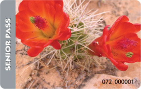
Let me count the ways: free entry the rest of my life
to all national parks and monuments that charge a fee (and to everyone
in my vehicle); half-price camping fees at national park
campgrounds and many National Forest Service campgrounds; and
other discounts. Check the website for details.
Compare that to the $80 annual fee for passes if you're under
age 62. It's a steal. That's why I've been so anxious to get a senior
pass before the deal vanishes or becomes less attractive. I almost
learned the hard way last fall that both Jim and I need our own passes;
when I went outside Rocky Mountain NP by myself to browse the
visitor center, even with Jim's pass and driver's license I had trouble
getting back in for free.
Why the heck the visitor center was outside the east entrance
gate is another issue . . .
Hopefully, if the Senior Pass rules change in the future because of
government funding
problems, all the Olde Pharts like Jim and me who already have one of
these passes will be grandfathered and protected from any tinkering with
the program.
Worst case, I'll soon have recouped that $10 fee.
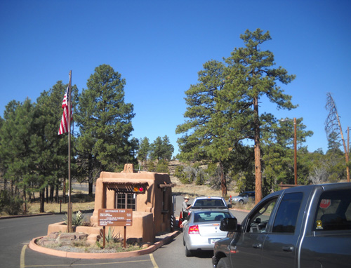
Today was the first good opportunity since my landmark birth date for me to buy one of the passes.
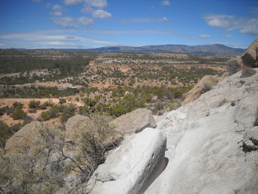
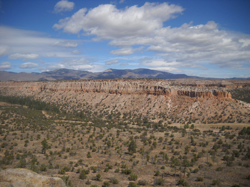
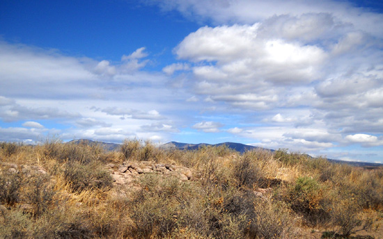
We are camped only about 15 miles from the entrance to Bandelier
National Monument, shown above. Since not all national monuments sell the passes
(only ones that charge an entry fee) I called first to be sure Bandelier
does.
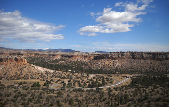
We drove the scenic NM 501-4-502 loop south of Los Alamos
that surrounds all or most of the LANL property, passes the entrances to
Bandelier and its sister unit, Tsankawi, and touches the western side of
the upscale little town of White Rock. An alternate route that
bisects the loop, East Jemez Road, is also scenic.
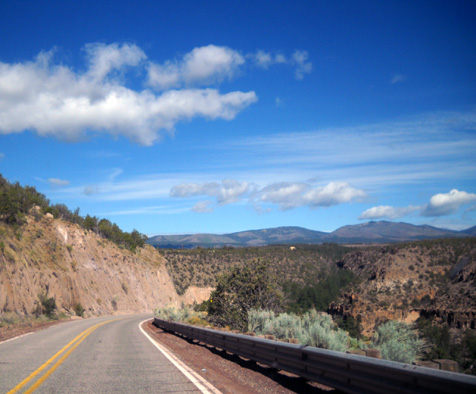
NM 4 between Bandelier and
Tsankawi
We began on the eastern side of Los Alamos at our campground on NM
502 and drove west through town. On the southwestern side of town 502
morphs briefly into NM 501. Where 501 dead-ends a few miles later at NM
4, we turned left (east) to reach Bandelier National Monument (a right
turn takes you past the Valles Caldera National Preserve and the town of
Jemez Springs, another very scenic route).
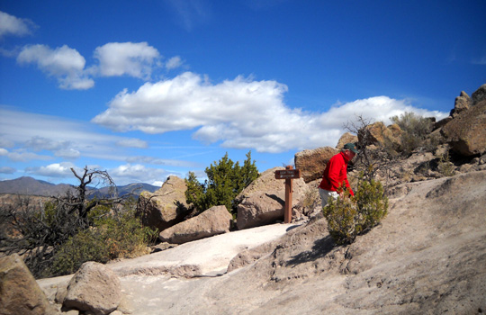
Our recreational goal today was not to hike in
Bandelier because there was a good chance of thunderstorms in
the afternoon. We need a day with no or less chance of rain to explore as
much as we want of Bandelier. We only stopped long enough at the
entrance station to get my new pass, then headed around the eastern side
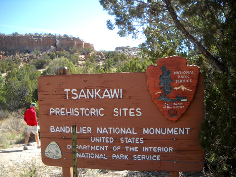
of the driving loop another twelve miles to Tsankawi,
where we did a shorter hike.TSANKAWI PUEBLO
This is my third or fourth time walking the 1˝-mile
loop around the
Tsankawi (sank-ah-WEE) cultural site and Jim's second or
third time (I hiked it alone once). I love this place as much for its beauty
as its archeological and cultural significance. It's magical to me.
I'm just sorry the
trail loop is so short. Maybe that's why I like to go slowly here and
savor everything I see. That makes it last longer!
In the 1400s, Tsankawi was home to the
Ancestral Tewa Pueblo people. They built their dwellings in the
relatively soft volcanic "tuff" rocks and with adobe "mud." Today their descendents live in nearby San Ildefonso Pueblo.
I've included photos and lots of historical
information about
the site
previously in this journal, so this time I'll mostly showcase
photos I took during our hike today. Because of the number of photos
I'll divide this entry into three pages for faster downloading.
You may wonder why Cody isn't in any of
the pictures. Dogs aren't allowed on the trail here, or in most national
parks and monuments. That's OK. He would have had trouble getting up and
down the ladders! Despite our geriatric knees, Jim and I did just fine
on them; they're fun.
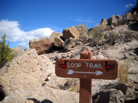
These photos are in order as we hiked
the short-stemmed, elongated lollipop-shaped loop in the
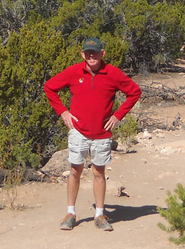
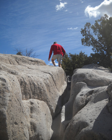
clockwise direction. Jim's easy to spot in his bright red ATY jacket:
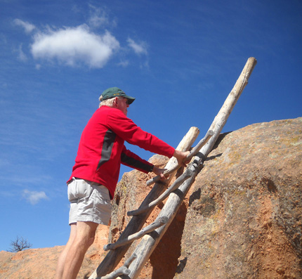
The first of three ladders goes
up to a rock platform near the beginning
of the loop; there are trail alternatives for two
of the ladders.
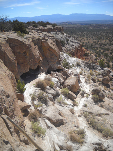
This site features lots of deep, narrow chutes (below)
that have been worn down through the centuries by people walking over
the soft volcanic tuff. There are numerous steps that have been created
the same way. You'll see them in some of the photos on the three pages
in this series.
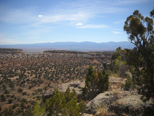
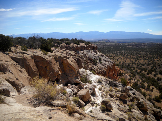
This view to the west shows LANL
property and the Jemez Mountain Range.
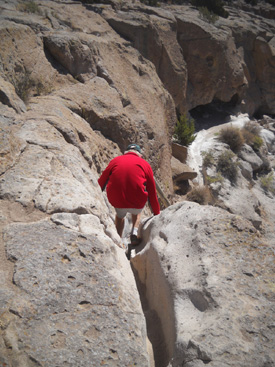
This photo with Jim gives more perspective to the depth
and width of the chutes along the path we followed:
Folks who don't want to climb up through that narrow
chute can choose to climb a nearby ladder instead. Either way is fun.
The trail follows the top of a mesa for about half a mile:
There are excellent views of the surrounding countryside in all
directions, which is one of the reasons the Tewa people settled here in
the first place (for surveillance, not the scenery!):
Looking east toward the junction of NM 4 and NM 502
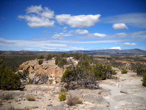
At the end of the mesa are the ruins of a village built high above
the surrounding canyons:
The mesa-top village used to contain about 275 ground floor rooms and
had additional rooms on a second floor. Very little excavation has been
done here. Most of the rooms are buried under layers of soil, roots, and
rocks.
DESCENDING TO THE NEXT LEVEL
The next part is fun -- climbing down through one of those
narrow rock chutes to reach the top of a 15-foot ladder to the lower
level of trail.
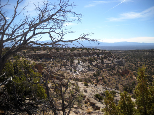
Here's a view to the east right before that descent from the mesa.
The Rio Grande River and the Sangre de Cristo Mountain Range are in that
direction:
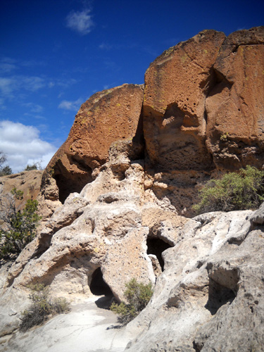
Once down the ladder visitors can go that direction for only a couple
hundred feet to explore some
of the cliff dwellings (AKA caves or "cavates") before the well-worn paths dead-end:
Let's watch Jim descend the chute and ladder:
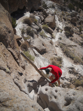
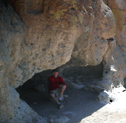
When he got down, he waited for me in the cool shade of one
of the nearby caves:
We continued along the dead-end path for a little while, peeking into
other caves we found:
Then we turned around and hiked west on the cliff-side path back
to our starting point. My favorite part of the site is coming
up!
Continued on
next page . . .
Happy trails,
Sue
"Runtrails & Company" - Sue Norwood, Jim O'Neil,
and Cody the Ultra Lab
Previous
Next
© 2011 Sue Norwood and Jim O'Neil
