The trail through this canyon is probably spectacular any time of the
year that you can navigate it on foot. We've only run or hiked it in
late spring, when the river is running higher and faster than it is in
late summer or fall. Even in low-snow years the water thunders through
the canyon as it drops from its headwaters at 8,000+ feet to about 4,300
feet at the trailhead.
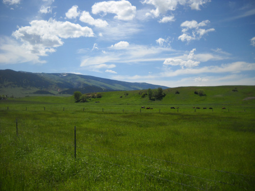
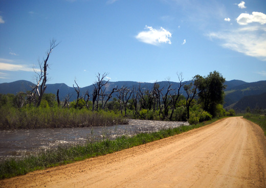
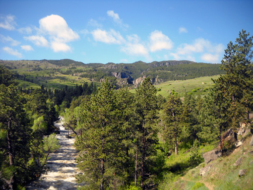
This morning we drove about five miles from the Foothills CG on
Tongue River Road to the trailhead at the mouth of the canyon. This is
a very pretty road through ranch lands that are bright green right now
from all the rain:
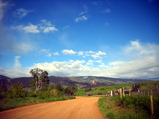
The last mile and a half of the road is in a wilderness
area. It is more rough and gains a bit more elevation.
I hope high water doesn't cause a problem on race day when 900+
runners come through here!
We've never seen the water this high along the road -- or
upstream through the canyon. Although the trail quickly climbs fifty feet
and more above the river in the canyon and shouldn't be a problem, the last five miles of the Bighorn race course follow that road
to the finish in Dayton. Of course we're concerned that it may be
flooded Saturday.
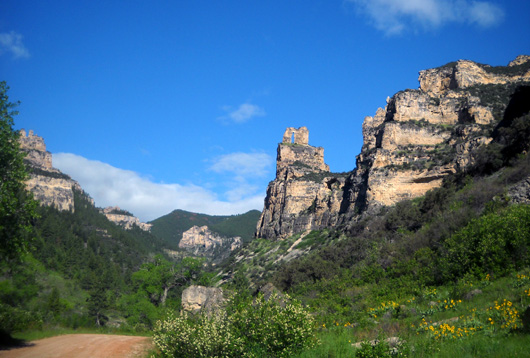
View of the Eye of the Needle
formation from the Tongue River Road
Hundred milers use the road outbound on Friday, too. Instead of beginning
their usual out-and-back race 1Ľ miles from
the trailhead, close to the Needle's Eye formation, this year's
super-snow course will start in Dayton and traverse all of the Tongue
River Road for that race both outbound and inbound.
That's just one of many changes to their
route this year because of all the snow at the higher elevations.
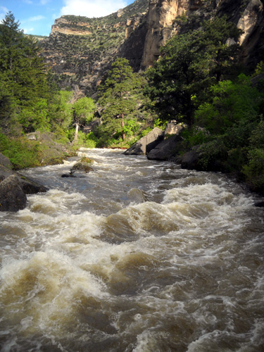
MORE SPECTACULAR THAN EVER
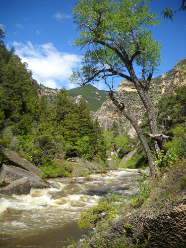
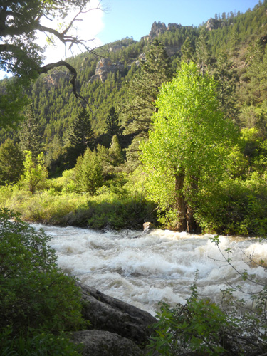
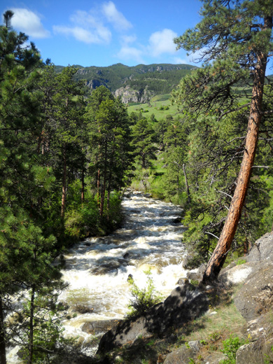
Jim, Cody, and I hiked only about 2˝
miles each direction through the canyon this morning but the experience was memorable. We have never seen so much water running through that canyon! It was
awesome, and very noisy echoing off the steep rock walls when they are
close together.
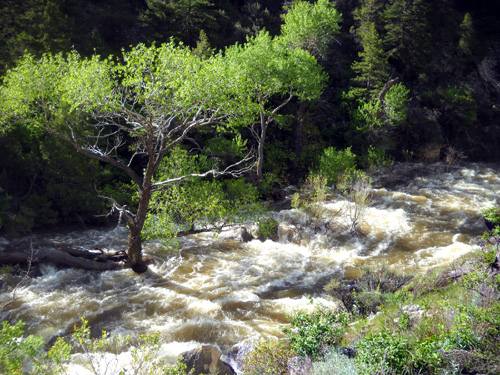
Our GPS read 4,352 feet at the trailhead. We quickly gained about 30
feet in elevation on the trail and were soon looking down on the
frothing water from above. You can see how trees and shrubs that
normally grow on the bank are now in the river:
The rocky single-track trail undulates above the river between steep
rock canyon walls for about a mile. You can barely see it below the
arrow in the picture below, which I took about 1/3 mile from the
trailhead:
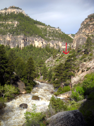
At that point the trail is probably about 50 feet above the river.
This sturdy bridge is about a quarter mile from the trailhead
in a spot where the trail is not as high above the water:

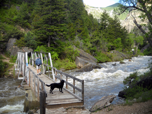
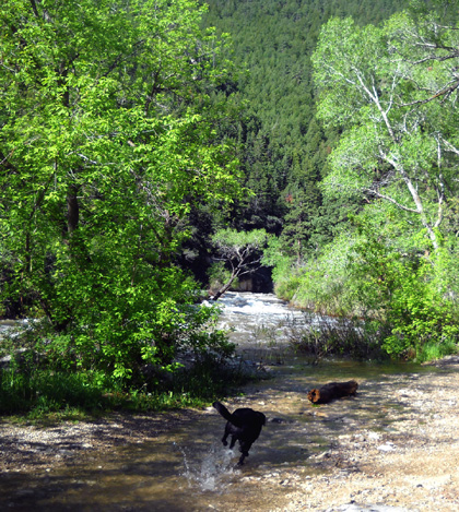
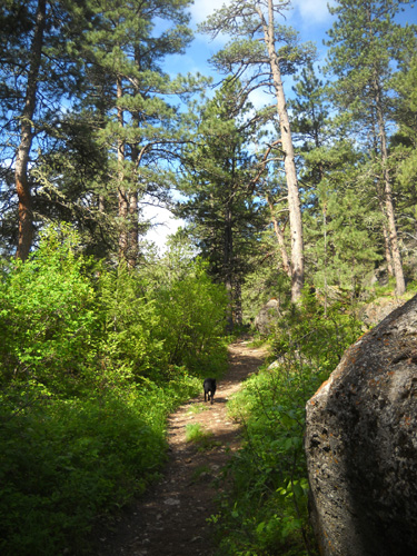
Jim hiked ahead of me; Cody went back and forth
between us as I stopped frequently to peer down at the river, examine a
flower, or take pictures.
This is the landslide area Karen told us about yesterday. She, her crew of
trail workers, and the Forest Service worked hard to dig out the trail
and stabilize the hillside:
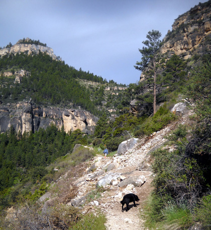

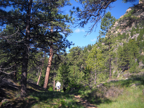
In the second mile the canyon widens and the trail
passes through a more forested area a little farther from the creek:
You can still see high rock walls on either side of the
river, and there are interesting boulders in the woods and meadows:
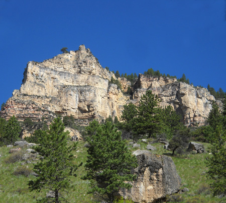
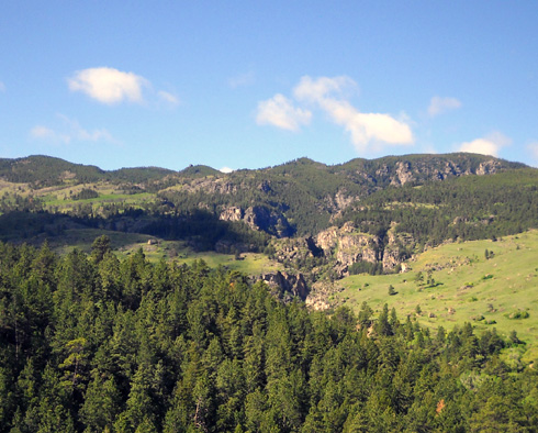
As we climbed to our high point for the day (5,000+ feet)
we could see the mountains where the headwaters of the river originate:
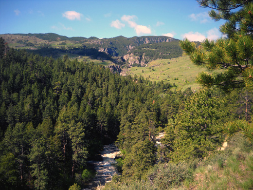
There is an upper canyon in the distance that I'd love
to see close-up but the trail doesn't lead to it. Someday I need to
wander over there!
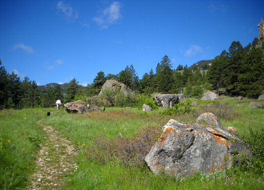
I took the next two pictures just before the trail
descended to Lower Sheep Creek:
Hike photos continued on
next page.
Happy trails,
Sue
"Runtrails & Company" - Sue Norwood, Jim O'Neil,
and Cody the Ultra Lab
Previous
Next
© 2011 Sue Norwood and Jim O'Neil