(Continued from the previous page.)
LAKE VIEWS
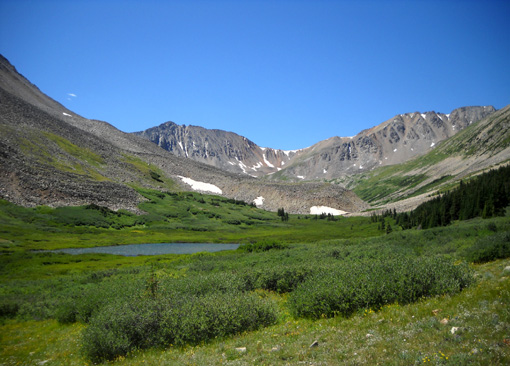
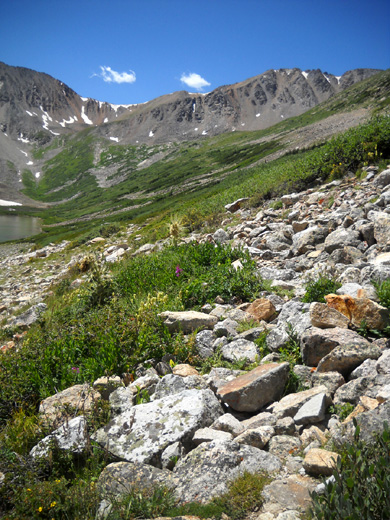
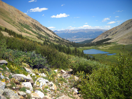
When I got up to about 12,000 feet I could see a pretty little pond
in the lower part of the basin:
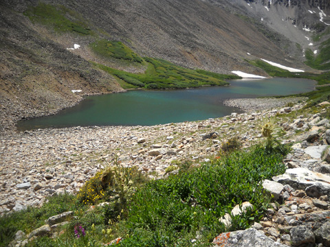
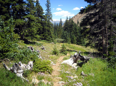
I continued further on the trail as it ascended higher because I wanted
to see what the entire basin looks like. My maps showed only one lake; the first one was so small
and shallow that I figured there must be another one higher up.
Yup, there was:
Willis Lake isn't as spectacular as I expected
but it's a scenic little lake and worth the hike at least one time.
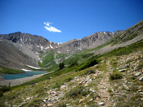
Cody and I spent about 45 minutes eating lunch and wandering around
above the lake, down to it, and back up to the trail:
It was warm and not nearly as windy as on Hope Pass
Sunday. I was in no hurry and wanted to enjoy the scenery while I was
there because I doubt I’ll ever go back up Big Willis Trail – too many
rocks and not a big enough pay-off compared to other trails in the
Leadville-Twin Lakes area.
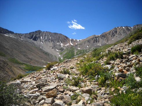
I could have gone a
little farther back into the gulch but I didn't see a trail past the
point where I stopped. Further hiking would have been over more rocks than I
wanted to negotiate. I didn't see any trails going up to the passes
between LaPlata and Rinker or LaPlata and Mount Hope but it looks
possible to go either way without climbing equipment if you're
determined to do that.
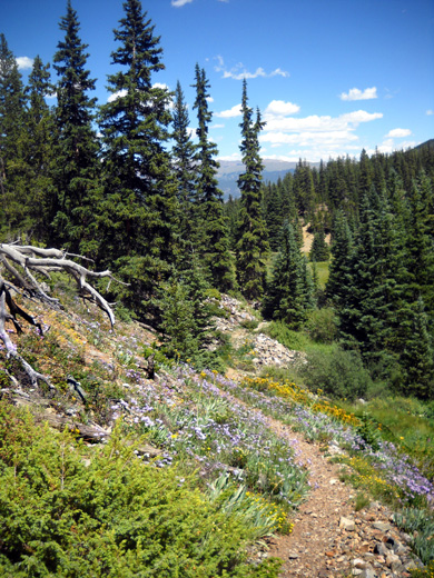
THE DESCENT
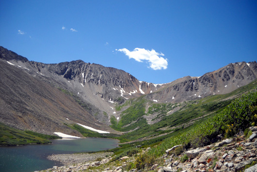
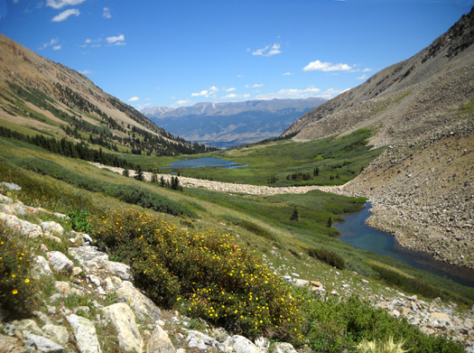
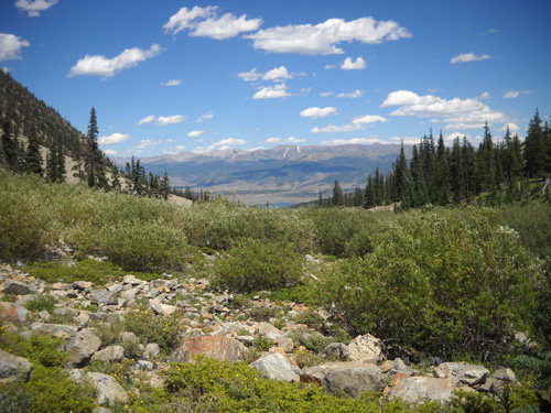
I enjoyed the views
of Willis Lake, the pond, and the valleys in the distance when I turned
around and started my descent through the basin. The water in the lakes
and stream looked even prettier from this angle than going up:
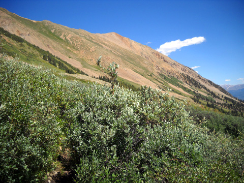
Dense willows on the
flank of Rinker Peak
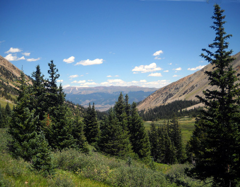
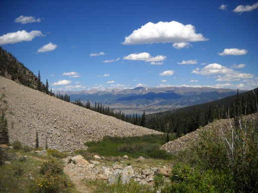
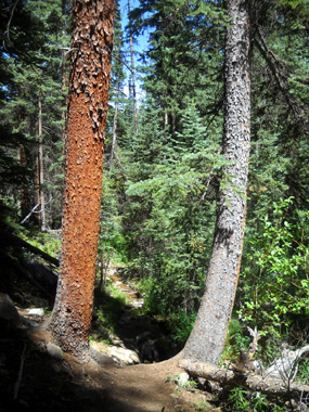
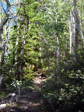
Then we got to the treeline and descended through a mix of trees and
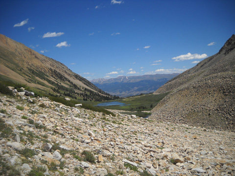
meadows until we reached the rock slide again:
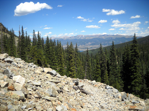
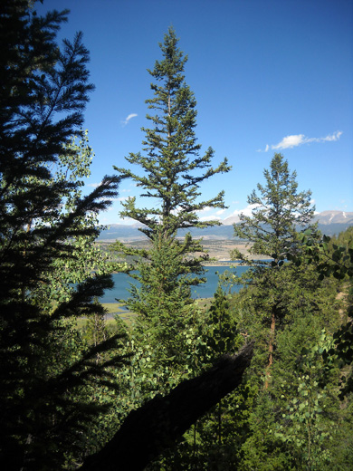
Just before the rock slide I could just barely see the
Twin Lakes down in the valley. That's the blue water in the center of
the next photo and the one above:

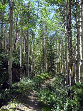
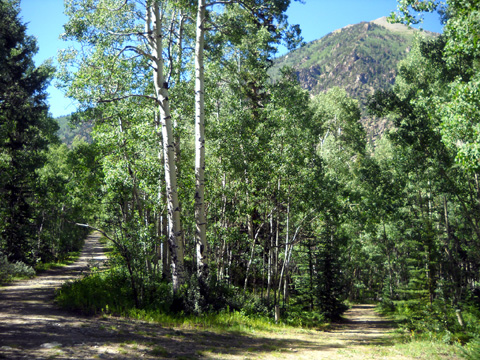
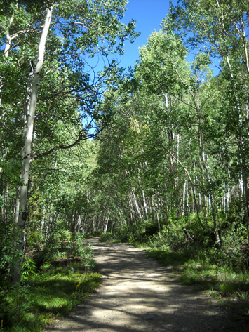
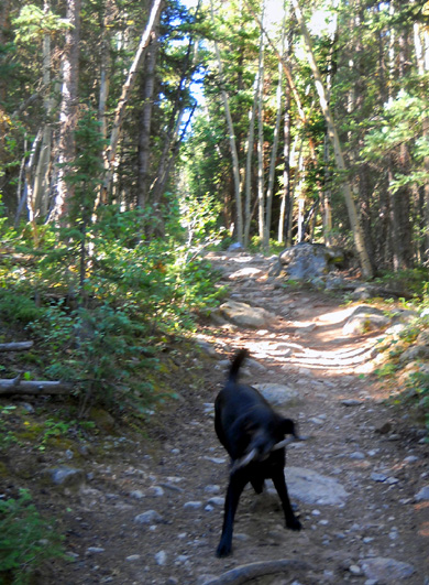
We're heading back into the woods now, still in Big
Willis Gulch:
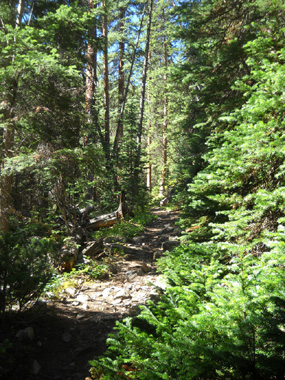
These photos are from the trail that goes down to the Lake Creek
gorge and gauging station where I parked:
View of Twin Lakes from the trail
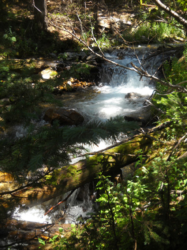
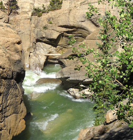
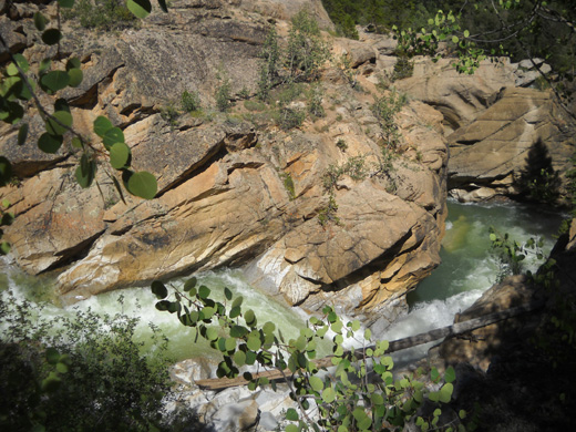
GORGEOUS GORGE
This was my fourth time in two days going past the
beautiful gorge below the gauging station and I had to take some more
photos on the way back:
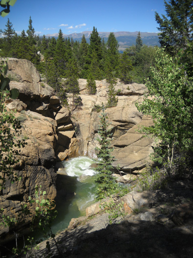
Above and below: two views of
what I call "The Vortex"
The next picture shows the trail intersection near the
gauging station.
The trail on the left goes about half a mile to Parry
Peaks CG, where I started and ended my hike to Hope Pass on Sunday. The
trail on the right goes about a third of a mile to the gauging station
bridge and parking area. That's the trail I used today:
I'm no mind reader but I do believe Cody is hesitating
(next photo) because he remembers those painful metal steps he must take to get back
up to the truck in the parking area on the other side of the bridge:
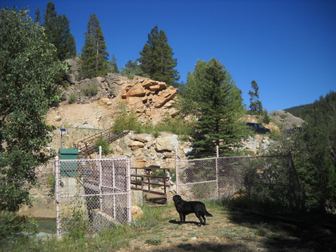
Gauging station bridge over Lake
Creek
POST-HIKE THOUGHTS
To my surprise I saw exactly ONE person on the trail today – he was
cutting the only downed tree I saw Sunday on the LT100 course going up
the north side of Hope. It was just above the intersection with the Big
Willis Trail. I just saw him from a distance and didn't talk with him.
Where is
everybody?? It was a beautiful summer day for a hike or run. This might
be a good place for you to go if you're looking for solitude and don't
mind rocks and thick shrubs . . .
Tonight I’m tired and get stiff if I sit too long in one position but
I'm not sore. I feel like I'm getting better trained and better
acclimated to go higher on subsequent hikes. I've got Elbert and Massive
in my sights -- both are 14ers.
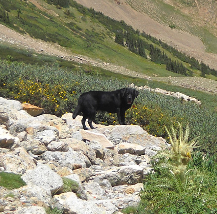
Cody's got a stick . . .
Cody seems fine after his big day in the mountains.
He found a stick on the LT100 course on the way up this morning and
brought the same one to me on the way down – cute! He's got lots of
energy for an eight-year-old Lab. It helped that he had plenty of water from the creeks
and lakes we passed today.
Next entry: cycling on the Mineral Belt Trail and parts
of the LT100 bike course
Happy trails,
Sue
"Runtrails & Company" - Sue Norwood, Jim O'Neil,
and Cody the Ultra Lab
Previous
Next
© 2011 Sue Norwood and Jim O'Neil
