(Continued from the previous page.)
TERRAIN CHANGES
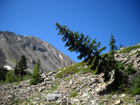
So far, the trail has been very shady.
After it climbs above the
creek at about 11,000 feet elevation it goes in and out of groves of pine trees and aspens, separated by
sunny meadows. Now I had views of the west side of Mount Hope to my left
(I've never seen that side) and Twin Peaks and Rinker Peak to my right:
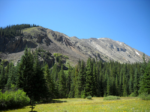
Part of
the western flank of Mount Hope
The
eastern side of Rinker Peak is colorful.
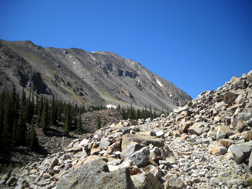
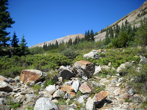
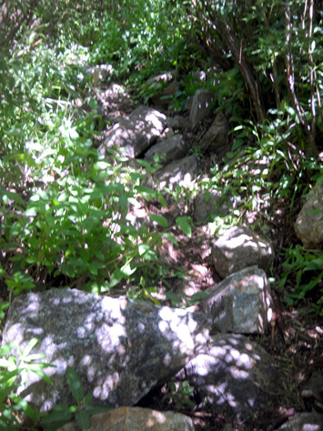
A couple miles from Willis Lake I came to a large rock fall on the side
of Twin Peaks:
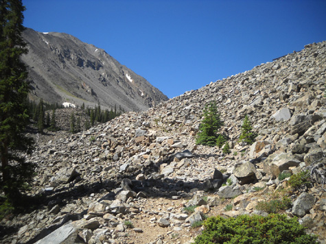
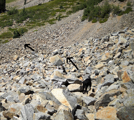
It took me about ten minutes in each direction to cross those rocks. Sometimes I
could walk fairly easily on large, flat rocks but other times I had to
pick my way carefully over jagged edges.
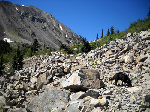
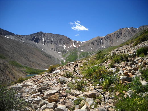
If I’d had a clue re: the number of rocks on this trail I would
have worn my ankle supports. That was the only rock slide I encountered
today but the trail remained mostly rocky from there to the lake:
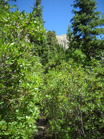
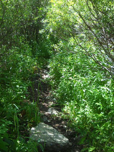
However, even more than the rocks, a bigger obstacle after the rock slide was all the over-growth along
the trail in the last two miles.
I didn’t have my convertible pants legs zipped on going up, but I put
them back on for the descent because my legs (and arms) were getting so
scratched up.
I had trouble pushing through and/or getting around some pine trees but
the main problem was the willows – numerous large patches of
shrubs that were so high, dense, and/or wide that I often couldn’t see
where the trail went:
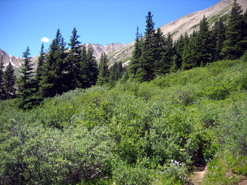
Sometimes leaves near the ground obscured my vision and I tripped over
roots or rocks I couldn't even see:
I just had to forge on through some of the patches because I had no clue
where the trail had been before the foliage got so overgrown.
I even had trouble finding the trail on the other side a couple times.
What a mess! This trail obviously isn’t maintained like the Colorado
Trail and Continental Divide Trail, which are both located in this
general area.
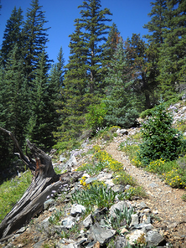
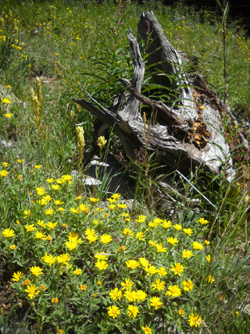
SUMMER FLOWERS
There were more and more flowers the higher I got and the less dense the
shade became -- same as going up to Hope Pass, one gulch to the
east. I took these photos in roughly ascending order:
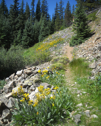
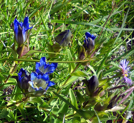
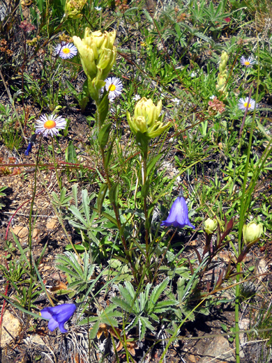
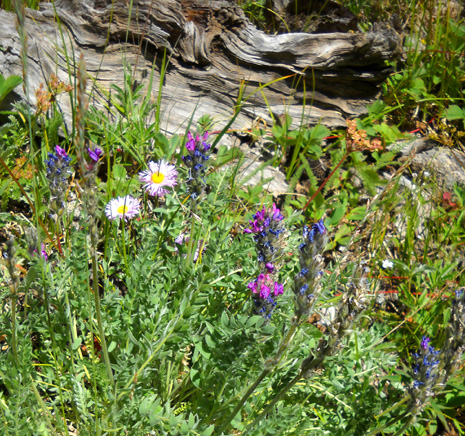
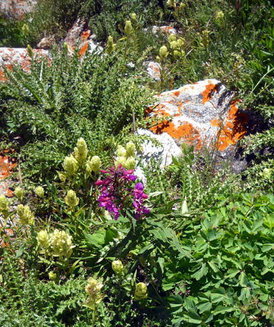
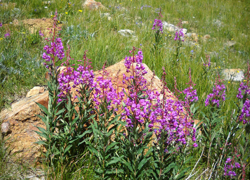
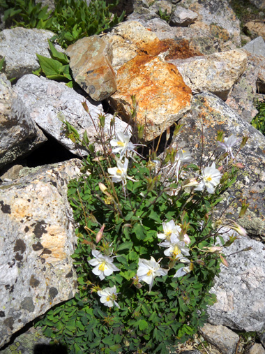
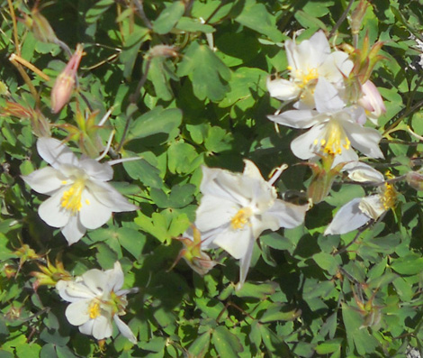
There weren't any masses of flowers in meadows as thick and colorful as
those below Hope Pass.
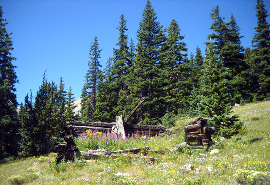
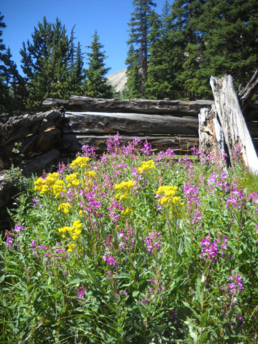
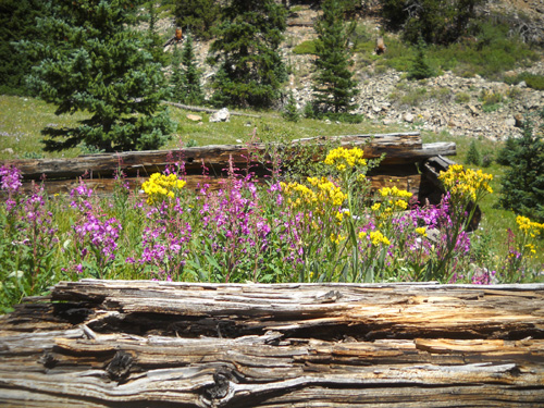
One of the most interesting scenes I passed
was this old cabin and another beyond it at about 11,500 feet:
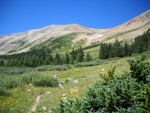
I reached the end of
the pine trees as the trail climbed above the first little lake in the
high basin. You can see the treeline in the next photo, which looks back
down the trail from farther into the basin:
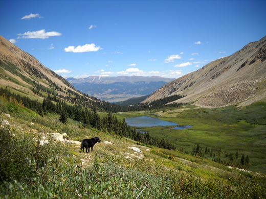
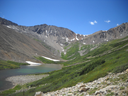
Low-growing willow shrubs
and alpine flowers continue growing to the back of this sunny, enclosed basin at 12,000 feet
and above:
Photos continued on
the next page: more views in the basin and going back down
the trail
Happy trails,
Sue
"Runtrails & Company" - Sue Norwood, Jim O'Neil,
and Cody the Ultra Lab
Previous
Next
© 2011 Sue Norwood and Jim O'Neil
