Continued from the previous page.
BACK ON VERY FAMILIAR TRAIL
I usually remember more about the good parts of a trail than the bad
parts, unless they are really bad.
So it's not
surprising to me that
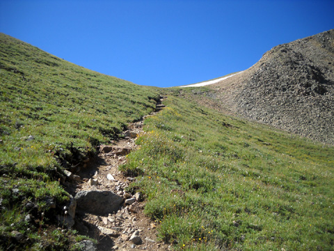
I’d sorta forgotten how rocky the Willis Trail is for the next half mile or more. And
it doesn’t switchback much, either, until getting up closer to treeline.
But I enjoyed being on it again. It brings back many pleasant memories.
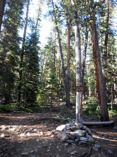
Hikers and runners going to Hope Pass follow the Little Willis Trail
when the Big Willis Trail goes to the right (next photo). I've never gone up the Big
Willis Trail but I plan to in a few days.
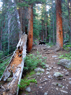
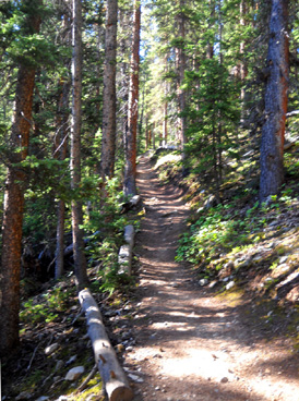
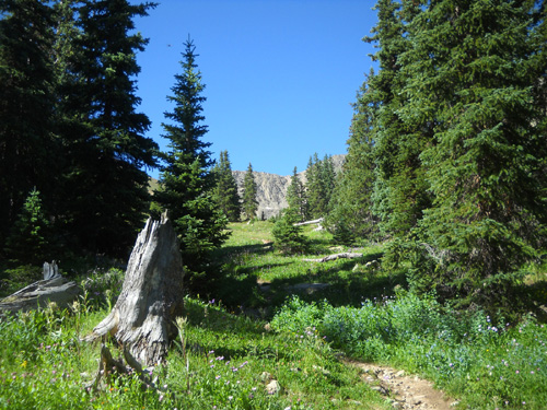
The Little Willis Trail passes through some beautiful pine forest and meadows on its
relentless climb to the pass. It is rocky in some places, smooth
in others:
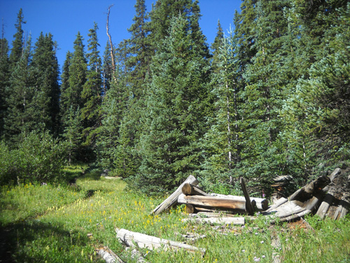
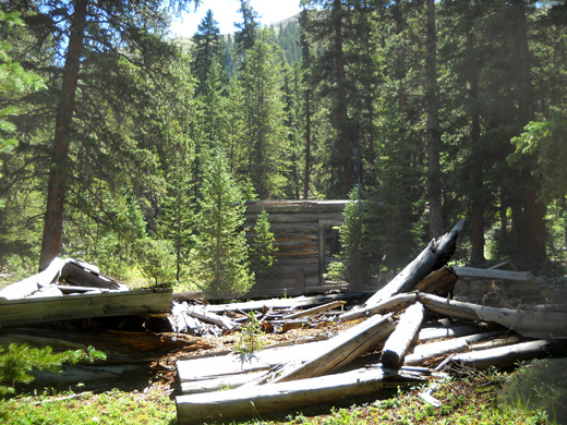
The trail passes two old mining cabins about a quarter mile apart:
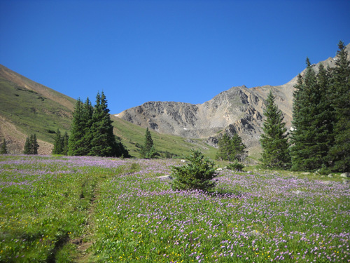
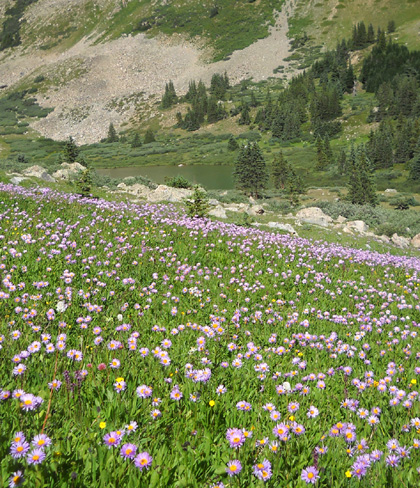
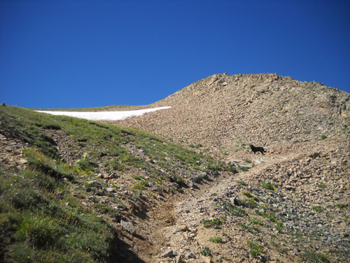
About half a mile from the treeline on Little Willis Trail I noticed
more and more flowers. They were especially dense and beautiful in the
fields near the location of the “Hopeless” aid station. I took numerous
photos of them.
The alpine flowers higher up were prolific, too. It’s about the best
I’ve ever seen the flowers on this course in August. I'll include a
separate page with flower photos I took today.
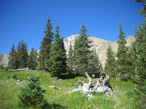
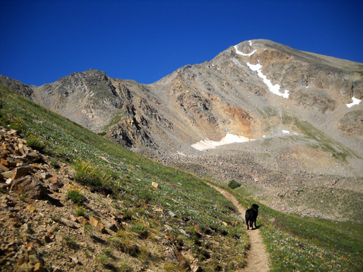
Once above most of the trees I could see Quail Mtn.(elev. 13,461 feet) to the
left/east of the trail . . .
. . . and Mount Hope (elev. 13,642 feet) to the
right/west of the trail:
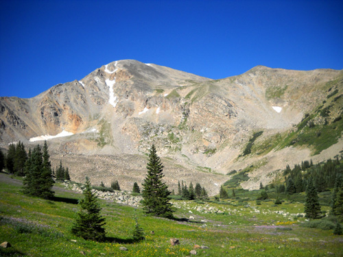
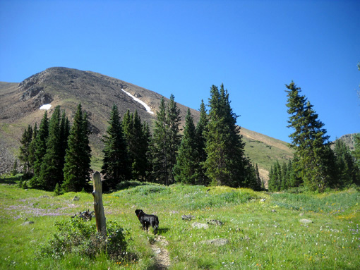
All these years we've been coming here, neither of us has ever climbed
to the high point of either Quail or Hope Mountain. As rocky as they
are we probably won't in the future! Hope is photogenic, though,
especially when it still has some snow on it.
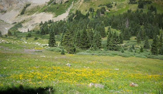
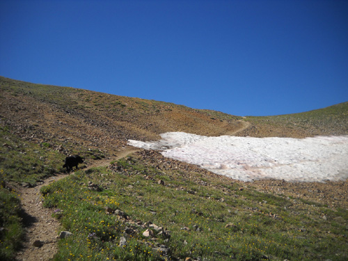
Now we're at the location of the "Hopeless" aid station during the LT100
foot race. The purple asters and yellow daisy-type flowers are
absolutely gorgeous through the meadows on either side of the trail and
down to the pond where the llamas drink water during the race.
Llamas??
Yep, they're used to haul up the aid station supplies for the race. It's
very cool to see them grazing in the distance during the race.
It's hard to see the pond in this photo because
its green color blends in with the nearby shrubs.
The pond collects water for Little Willis Creek. I'll show several
more photos of it from higher up the trail.
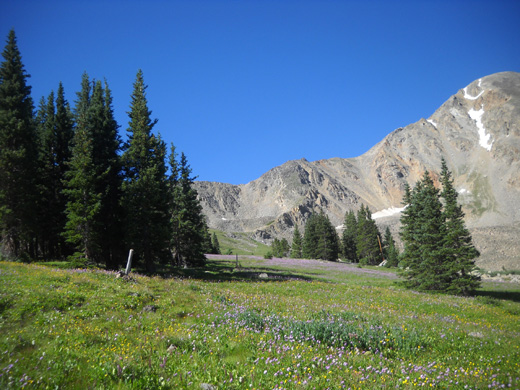
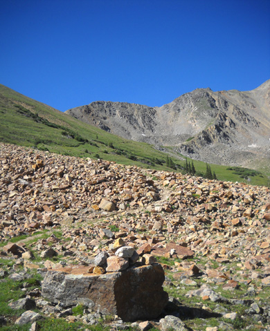
Now we're about half a mile from the pass. The trail goes through a stretch of
colorful rocks
. . .
. . . then several switchbacks to the pass:
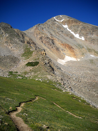
The grade on this side of the pass used to be much steeper before some of the
switchbacks were added to reduce erosion. The downside is that runners
have to go farther on this out-and-back course during the race, but the
footing is much improved compared to what it was several years ago.
Ah, there's the pass:
Cody patiently waits for me at the last switchback.
I was happy to reach my destination but since I'd gone fewer than six miles I wasn't as relieved to see
the pass as runners are during the race after running/walking for 45 miles.
The only patch of snow I encountered on the trail today was near the pass.
It will be melted by race day. The trail cut
through 25-30 feet of snow. Cody ran ahead and started rolling around in
it before I got there. I had to laugh and encourage him further when I
saw what
he was doing! He's like a little kid when he sees snow.
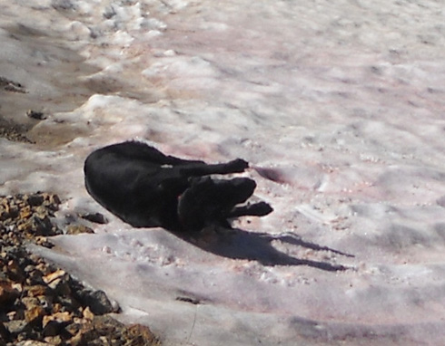
Silly boy. That took my mind off the relentless climb to the pass.
Continued on the
next page: views from the
pass and on the way back down, plus what Jim did to stay
busy while I was hiking
Happy trails,
Sue
"Runtrails & Company" - Sue Norwood, Jim O'Neil,
and Cody the Ultra Lab
Previous
Next
© 2011 Sue Norwood and Jim O'Neil
