It was more than a little ironic that the day we chose to drive the
scenic route on the western side of huge Lake Mead it was raining so
hard at one point that we had to pull over for several minutes to wait
out the deluge.
Why was that ironic?
For one thing, this area gets fewer than four inches of rain
annually. In just two days this week, some areas east and north of
Las Vegas got about half of that amount and had some flooding.
Since it was cloudy today, then overcast and raining hard before we
left the rec. area, we didn't get to see the water reflected in what's
usually a clear blue sky and the photos I took of colorful rock walls along the scenic road
are dark and muted.
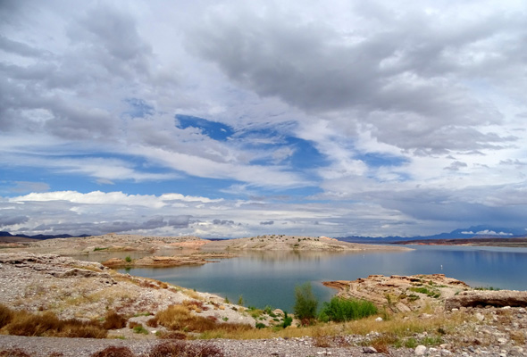
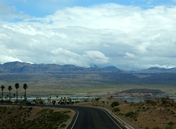
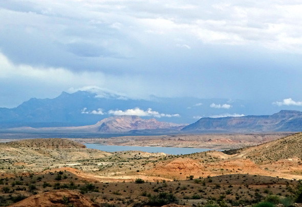
This is the best picture of the
lake I got, before dark clouds and rain moved in. (Echo Bay)
The real irony, however, is that the water level on Lake Mead was at
a record low in June, 2016, just two months after we visited. That's
according to
another page on the National Park
Service's website for this recreation area that was updated in 2018.
Yep, I'm that far behind on these journal entries! And, sadly, I
doubt the rain we experienced in April, 2016 made much of a difference.
We knew the area was in a lengthy and significant drought --
at least 13 years -- so we didn't complain about the rain during
our day trip to the recreation area. The
whole Colorado River Basin sorely needs more rain or many millions of
folks downstream who depend on this source of water are going to be in
serious trouble pretty soon.
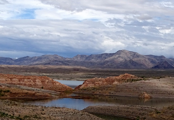
The most noticeable evidence of the drought for visitors like us is
the tall white ring of rock around the lake above the water level:
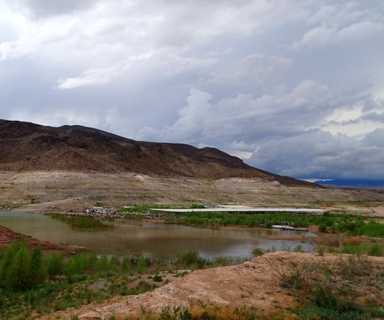
That boat business has had to
relocate down to the much lower lake level!!
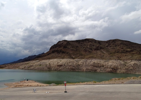
The white ring is composed of minerals deposited on the rock walls
when the lake level was much higher.
When we got close to the water at the Echo Bay marina it appeared
that the top of the ring was at least 30 feet above the water:
Maybe I guessed wrong!
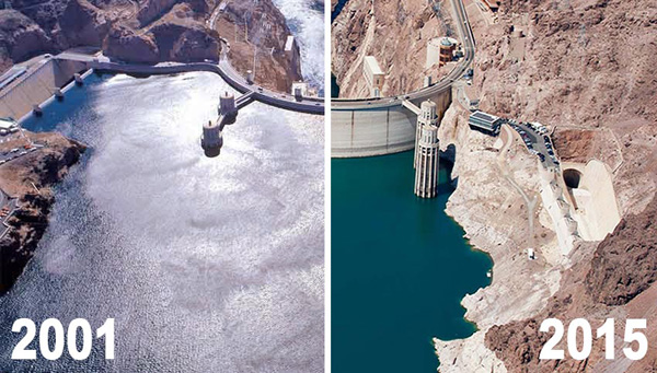
As I'm writing this in June, 2018, the
link re: drought at Lake Mead
states that "since 2000, Lake Mead water surface elevation
has dropped over 143 feet, going from full to only 38% of the total
storage capacity."
Yikes! When I click on that web page and scroll down, I see graphic photos of
the water depth behind Hoover Dam in 2001 and 2015. The difference is
stunning.
I copied these photos from that page:
Lack of water in Lake Mead doesn't just affect the
people downstream who depend on it for drinking water and other purposes.
It also affects millions of acres of farmland where much of our
country's produce, citrus fruits, and other crops are grown --
which means it affects everyone, not just people in that area. The lack of water
also affects many other local businesses, like those that depend on the tourist
trade. The economic impact is huge.
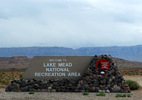
TODAY'S QUICK DRIVE-THROUGH
You can read all about the sight-seeing, recreational, and other
things to see and do in this huge recreational area from the
official website. Since all we did was a
relatively quick drive-by on the northwestern side of the rec. area, I'm just
showing pictures I took on April 9, 2016.
We do plan to go back to this area sometime in the future --
hopefully on a sunny day when I can get better photos! Maybe we'll go to
Hoover Dam then, too. I've never been there and it's been a long time since
Jim saw it.
Here's part of a
map from the NPS website that shows the close proximity of Lake Mead to Las Vegas.
I marked our loop route on this day trip north from Nellis AFB to Valley of Fire State Park
and down along the northwestern side of Lake Mead:
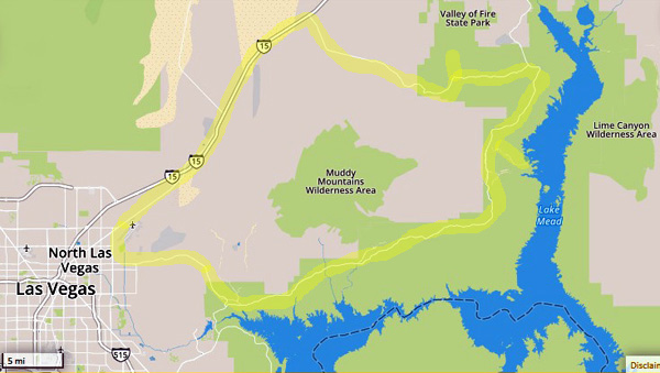
This map section shows only part of the 1.5 million acres
of the rec. area and its nine wilderness areas.
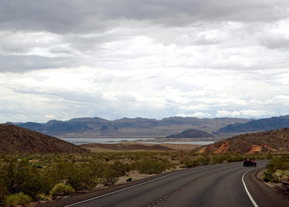
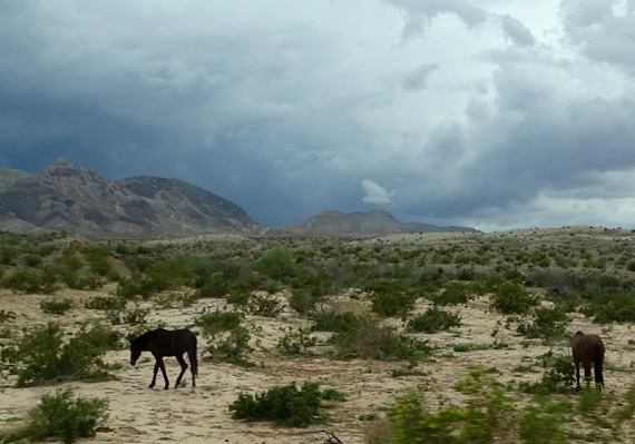
After we left Valley of Fire State Park in the early afternoon we followed NV 169
south and west above Lake Mead. This scenic two-lane road is hilly and curvy but
wide, smooth, and suitable for even large RVs.
There is an entrance station at the north end of the recreation area. Although
some national recreational areas are free for visitors, this one has fees similar
to national parks. We got in free with our NPS senior pass.
In the first few miles we were disappointed to catch only slight glimpses of the
lake, which was formed when the Colorado River was backed up by the Hoover Dam
about 80 years ago. We drove down to a boat launch at Echo Bay so we
could see the water better:
That's when we could see how low the lake level was.
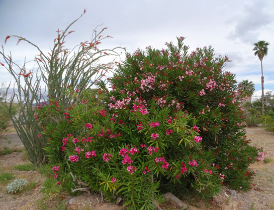
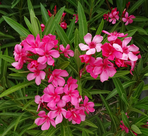
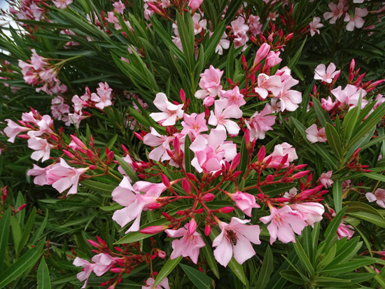
I like to find beauty wherever I can, so although I was disappointed
in what remains of this lake right now, I was happy to see these
brightly colored shrubs growing at Echo Bay:

We went back out to the main road and continued south, hoping for more
views of the water but we could see it only one more time on our loop route.
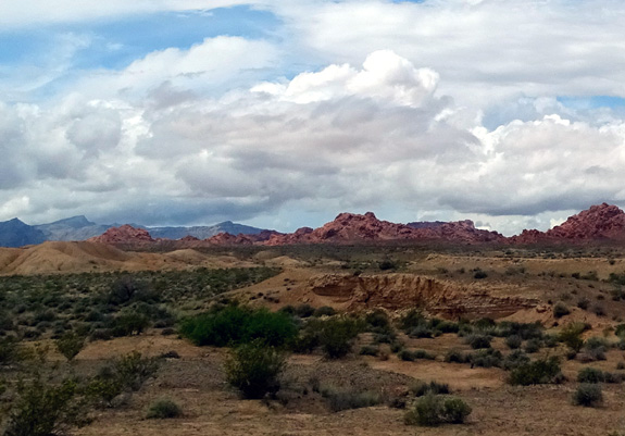
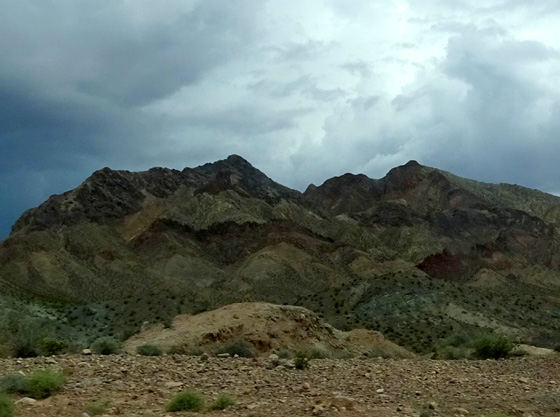
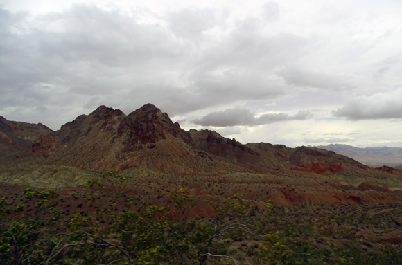
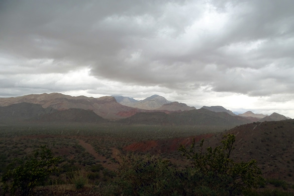
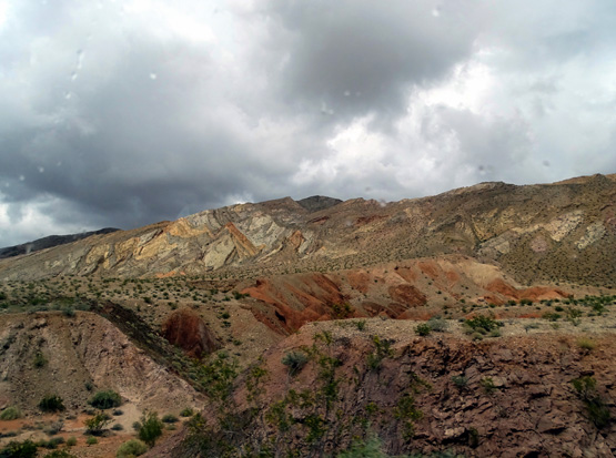
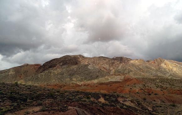
I took photos of interesting desert terrain and rock colors before and
after the hard rain that forced us to take a time out for several minutes:


Our GPS directed us back to Vegas and Nellis AFB via Lake Mead Blvd. through
Sunrise Mountain Conservation Area, which we didn't know was there. I later
learned there is a trail up the mountain so we might check that out next time
we're here, too.
Next several entries: lots of sunny photos
from uber-popular Zion National Park
Happy trails,
Sue
"Runtrails & Company" - Sue Norwood, Jim O'Neil,
Cody the ultra Lab, and Casey-pup
Previous
Next
© 2016 Sue Norwood and Jim O'Neil
