Some of the most scenic views on our two-day drive from
Haines, AK through the Yukon and down to Valdez, AK were on the
Richardson Highway portion of the route.Here is a AAA map
section I copied (AAA maps are the best!) that shows the Big Picture of our
route northwest on the Haines and Alaska
Highways, southwest on the Tok Cut-Off, and south on the Richardson Hwy.:
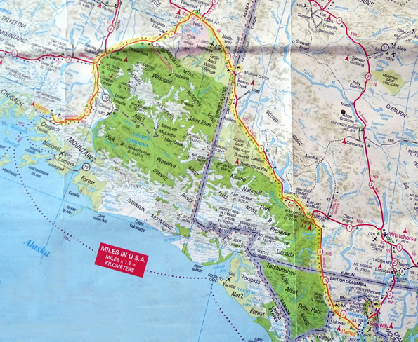
As the crow flies or the boat floats, it's nowhere near as many miles
between Haines and Valdez. Driving over land is a different story.
Our route took us around some huge provincial and national parks,
preserves, mountain ranges, and ice fields -- all that green on
the map above -- offering great views of some of North America's
highest and most beautiful peaks.
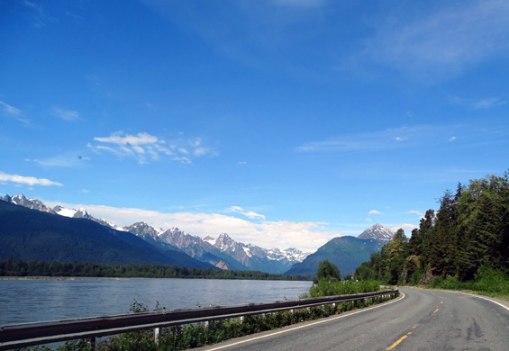
These three photos are along the
Alaska portion of the Haines Hwy.
between the Takhinsha and Boundary
Mountain ranges.
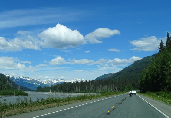
Glacier Bay National Park is just
west (left) of here.
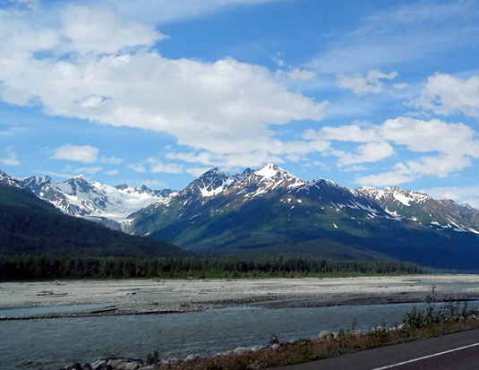
I love all the glaciers in this
section of the Haines Hwy.
We were happy to have better weather on much of the route from Haines
to Valdez than we did in 2012 so we
could see more of the mountain peaks and glaciers this time.
TUESDAY: HAINES, AK TO ALASKA HWY. MP 1269
EAST OF TOK, AK
Route: North on the Haines Hwy. (AK 7), which becomes CA 3 in
British Columbia and the Yukon to Haines Jct. West on CA 1 (Alaska Hwy.)
across the Alaska border to the paved pull-off where we finally stopped,
about 46 miles east of Tok.
Here are some more
detailed maps of this day's drive from The Milepost
website.
Note that the blue portions are not water, but huge provincial and
national parks.
We started at Haines,
the bottom map, and traveled to the top map:
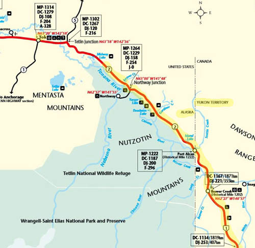
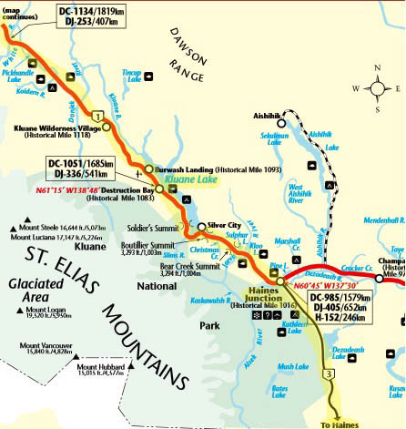
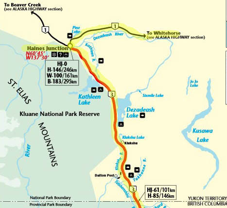
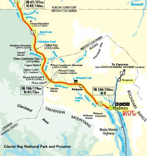
It took us about 10½
hours with ten or more stops.
Our intention was to camp overnight at Lake Creek Provincial Campground
near Destruction Bay in the Yukon (north of Kluane Lake) but we got there too soon.
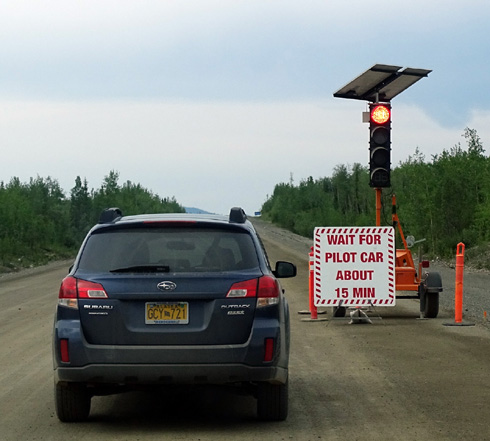
Then it took us longer to get to the Alaska border than we expected
because of road construction and having to wait for pilot cars several
times:
Our revised goal was to reach Tok, Alaska and stay there overnight. Due
to road delays and fatigue we stopped about 45 miles east of there.
We stopped at several rest areas during the day. We got fuel in Haines Jct.,
YT ($1.289/liter CA) and Beaver Creek, YT ($1.599/liter CA, which was
more than we paid at the same station three years ago when fuel prices
were much higher!). We should have waited until we were in Alaska to get
more diesel but we didn't want to risk running out.
Terrain: The scenery was absolutely gorgeous along the
Haines Hwy., especially the Alaska and British Columbia sections where the
mountains had more snow on them. I already showed some pictures from the
Alaska section. The next three photos are in British Columbia:
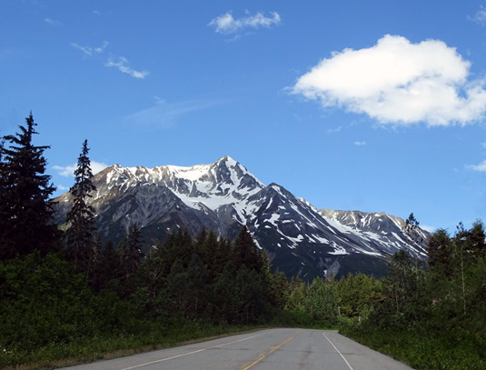
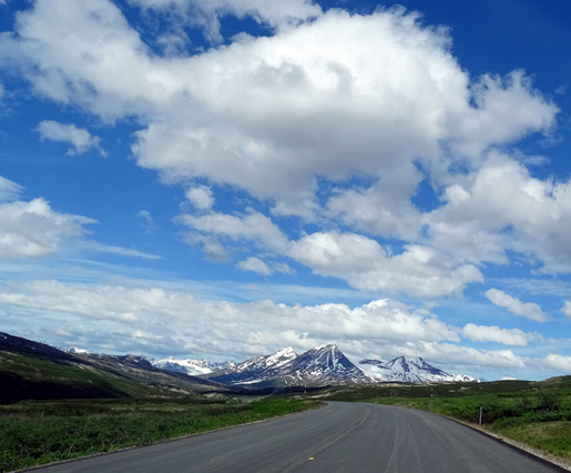
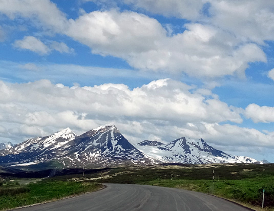
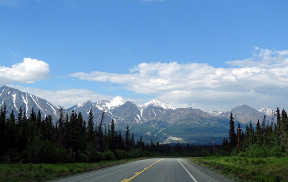
St. Elias Range from the Haines Hwy. near Haines Junction, Yukon
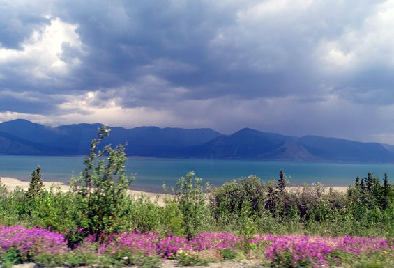
Everything is so green right now and
there are numerous wildflowers blooming -- lots of fireweed and
lupines along the Haines Hwy. and fireweed and other flowers on the
Alaska Hwy.:
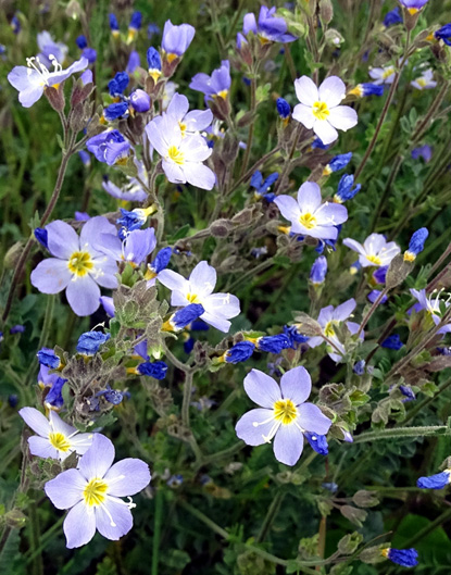
I spotted these pretty flowers at one of the rest
areas.
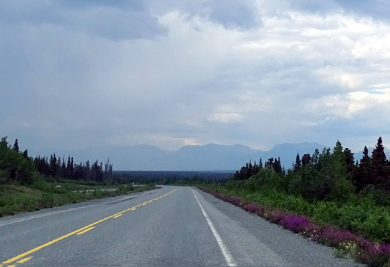
Above and below: Fireweeds on the Alaska Hwy.
near Kluane Lake
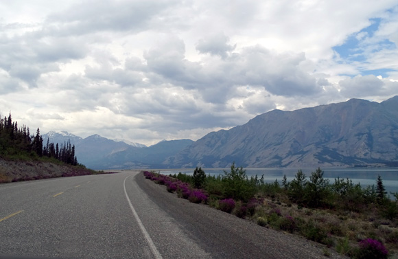
We saw lots of streams, lakes, and wet areas, including these:
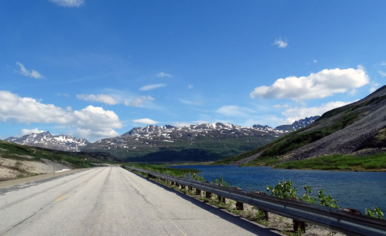
Pretty glacial lake along the Haines Hwy. in
British Columbia
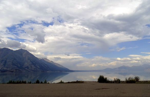
South end of large Kluane Lake
The Alaska Hwy. along Kluane Lake is beautiful but we noted that the water
was much lower than it was three years ago:
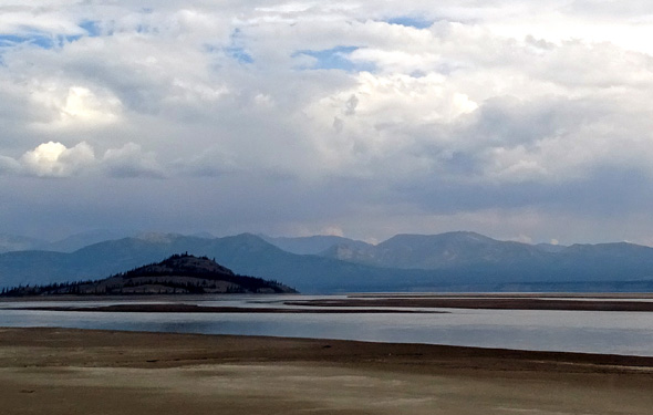
Nisling Range silhouetted across Kluane Lake, which
is very low now
The scenery was less interesting from Burwash Landing, YT to our rest area,
which is above the Tanana River. Unfortunately, trees prevented us from seeing
the river there but we could see it from other places along the Alaska
Hwy.
Traffic and road conditions: Traffic was light the whole way.
There was more road construction, of course, so some gravel breaks again
today. They were OK going a slower speed.
Weather: Mid-60s F. and sunny when we left Haines. We
enjoyed gorgeous weather
until it began raining west of Haines Jct., YT. We had rain off and on
the rest of the day but the clouds were high enough to see most of the Kluane and other mountain ranges surrounding us. Temps remained in the
mid-60s F. all day as we drove north and west.
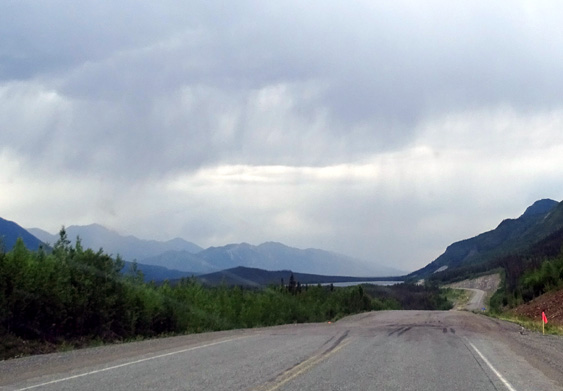
Rain and road construction: just deal with
it!
BORDER CROSSINGS:
This is the second time we've gone through both Canadian and U.S.
customs on the same day (the first was the day we drove down to Skagway,
AK from Whitehorse, YT). We hit the Canadian border in BC 39 miles north
of Haines in the morning, then the U.S. border past Beaver Creek in
western Yukon late in the afternoon.
Neither crossing was a problem. Casey charmed the female customs agents
at each border. (Yes, really!)
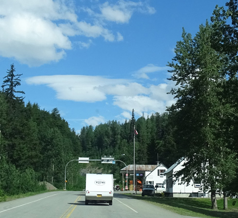
BC border northbound on the Haines Hwy.
We didn't have to wait at either crossing, which was nice.
At the Canadian border north of Haines the agent took our passports
inside the building to scan them, asked us where we're from, where we're
going, how long we'll be in Canada, if we have more than $10,000 on us,
and if we had any alcohol, tobacco, or firearms. She spent about as much
time playing with Casey as asking us questions!
At the U.S. crossing the older woman came outside her window to see the
dogs and asked us if we had any treats she could give them (she didn't
have treats). Another woman came to the window and gushed over the dogs,
too. They ran the passports, asked us about the same questions plus
whether we had any food from Canada, and off we went.
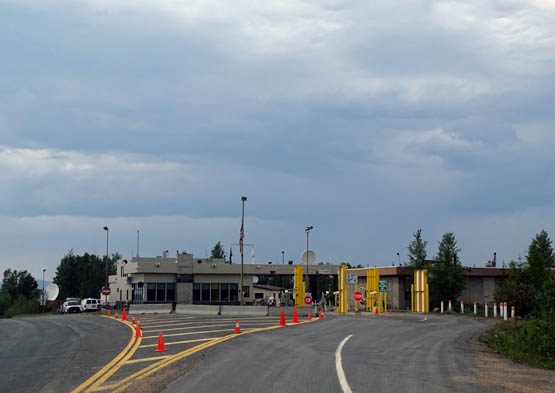
U.S. border crossing westbound on the Alaska Hwy.
Both crossings were very easy, thankfully, similar to our experience in
2012 both outbound and going home from Alaska. (Going into New Brunswick
in June, 2014, was a very different story.)
Critter count: two rabbits and two black bears, one colored
brown. The bears were along the roadside west of the Lake Creek
Provincial CG. Jim stopped and I got out to take photos from about 100
feet away:
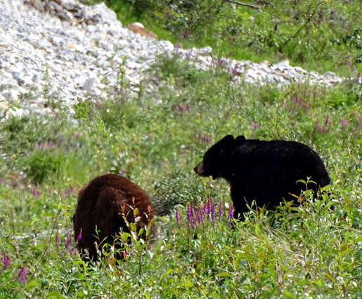
Two young
black bears; one is brown.
We finally got to go inside the visitor center at Sheep Mtn. at the
southwest corner of Kluane Lake in the Yukon. It was closed the two
times we passed by in 2012.
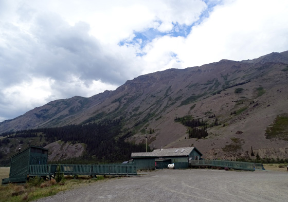
We didn't see any bighorn sheep on the mountainside but it made a nice
break for us and the dogs. Jim and I went inside the visitor center for
a couple minutes to see the displays.
The water on both sides of the road at the southern end of the lake was much
lower than when we passed through there in June and September, 2012,
testament to the low snowfall this past winter.
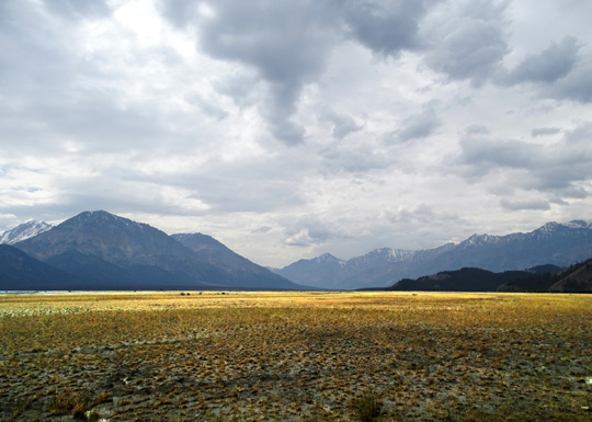
Dry lake bed along the driveway to the Sheep Mountain visitor center; it
was under water in 2012.
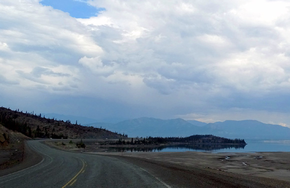
Continuing northwest on the Alaska Hwy. along
Kluane Lake
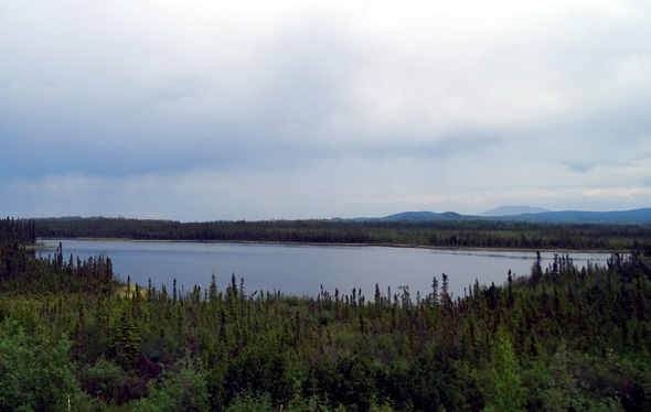
Pretty little lake closer to the Alaska border
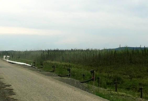
Vents used to prevent or reduce permafrost damage
to the road
It turned into a long day of travel but we pushed on so we could get
to Valdez in two days and not have to spend a second night along the
road or in a campground.
The dogs did great and we had the large overlook
to ourselves all night:
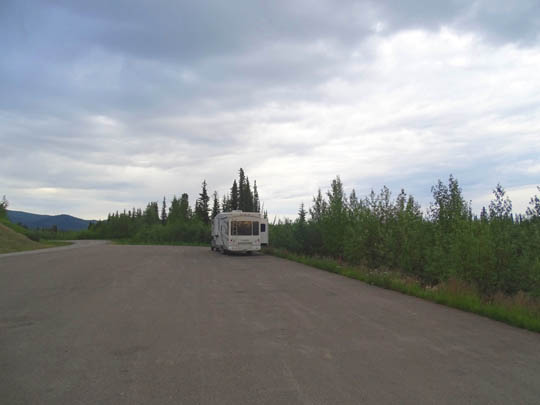
Jim rode his bike a couple miles with Casey on the little-traveled
highway after we ate a late supper, then began a ride by himself.
Continued on the next page: the
second leg of the gorgeous drive to Haines
Happy trails,
Sue
"Runtrails & Company" - Sue Norwood, Jim O'Neil,
Cody the ultra Lab, and Casey-pup
Previous
Next
© 2015 Sue Norwood and Jim O'Neil


