Continued from the previous page.
REMAINDER OF THE HARNEY PEAK LOOP
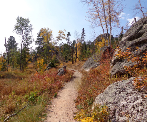
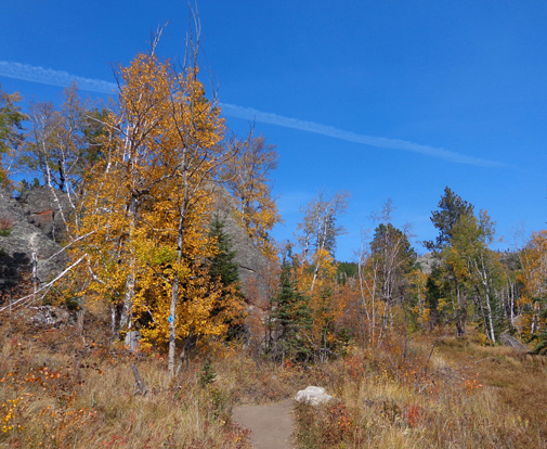
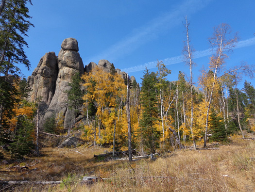
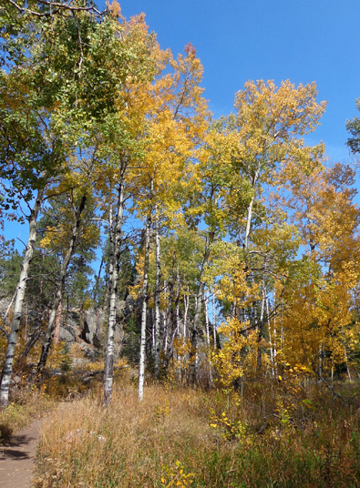
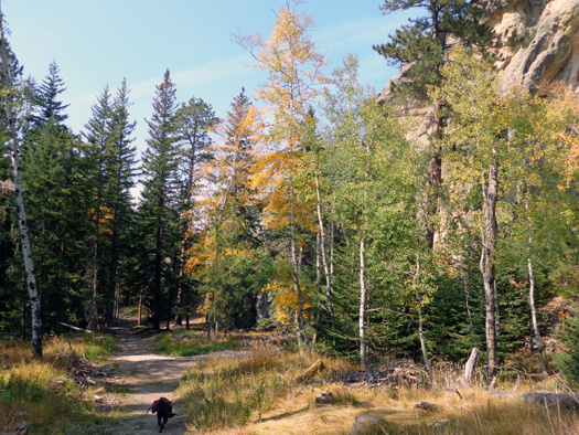
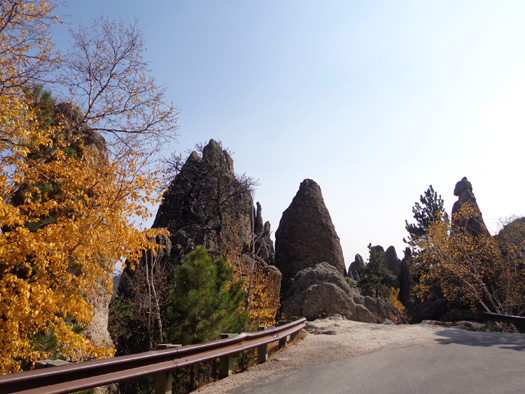
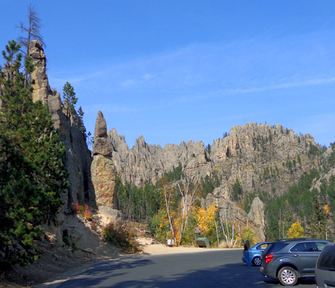
The last mile of Trail #9 back to the trailhead at Sylvan Lake is
more smooth as it undulates through attractive autumn-hued meadows and
trees and continues to pass more rock formations:
Cody still leads the way as we
get close to the trailhead at Sylvan Lake.
That's a good sign; when he's tired, he lags behind
me.
Cody did great with the distance, difficulty, and hauling his own water.
He hasn’t worn his pack for a long while.
If you hike with your four-legged buddy to Harney Peak be sure to take
plenty of water for both you and your dog. At this time of year there is
only one little stream along this loop.
I didn’t see any other dogs on the trail so sweet Cody got lots of
attention. Last fall I remember that we met a German shepherd near the
fire tower and its owner warned me about the grated metal stairs.
Fortunately Cody didn't have any trouble negotiating them either time
we've been up to the tower.
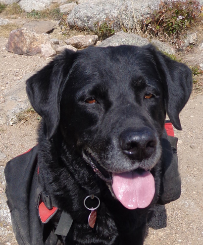
Happy hiker, still going strong at 9˝
years of age
Weekdays are great for hiking these trails.
There were other people on the trail today but it wasn’t crowded at any time
-- even around popular Sylvan Lake or the picturesque fire tower
on the peak.
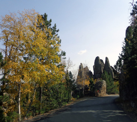
NEEDLES HIGHWAY
Meanwhile, Jim was patiently waiting for me in another section of the
park about 25 miles away after his long bike ride.
After my hike I went back out to the Needles Highway (SD 87) from the
Sylvan Lake Road and drove the remaining part of the super-scenic
Needles Highway through the northwestern part of Custer State Park to
the intersection with US 16A.
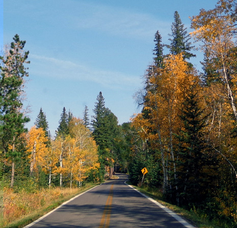
The Needles Highway is 14 miles long. "Highway" is a misnomer. Although it is a
two-way road it's very narrow. It's a great drive, especially in the fall,
on a bike or in a vehicle
small enough to get through the even more narrow tunnels.
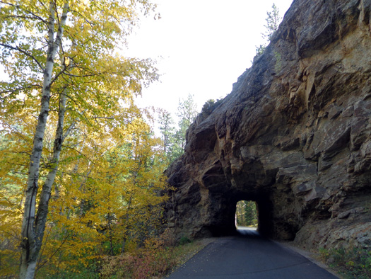
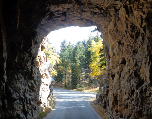
This is the approach to one of the tunnels:
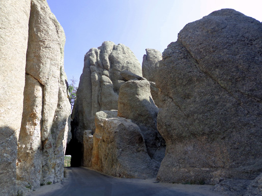
I have to put the side mirrors of the pickup truck in when I go that
tunnel to be sure I don't scrape the rock walls -- that's how
narrow these tunnels are! Do not ever drive this road or Iron Mountain
Road in a motorhome (even a little one) or hauling a trailer (even a little one).
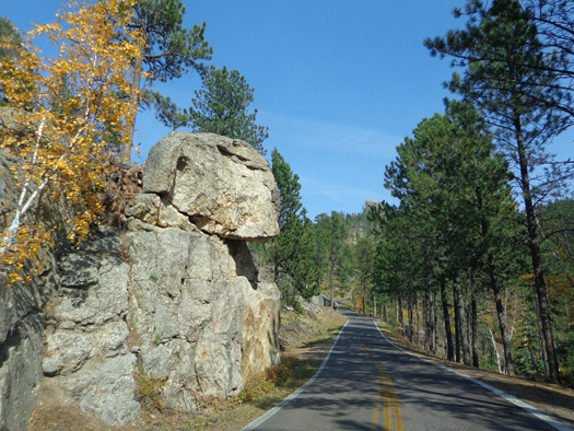
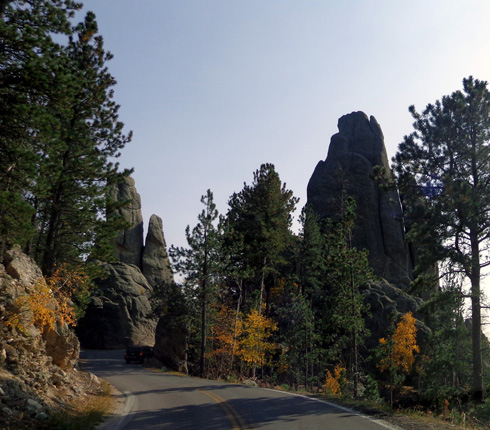
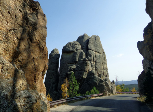
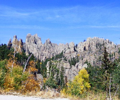
The road is named "Needles" because of the rock spires it passes:
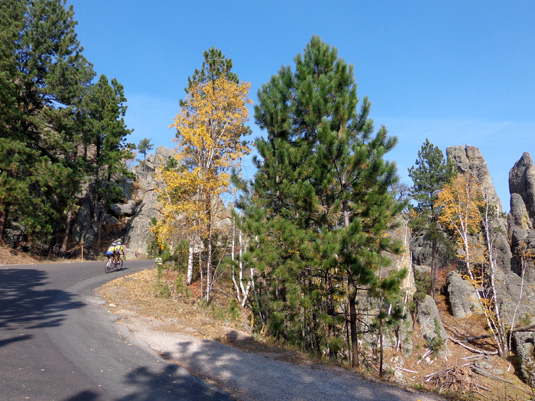
Despite being narrow, it's a fascinating road to cycle
when there isn't a lot of traffic:
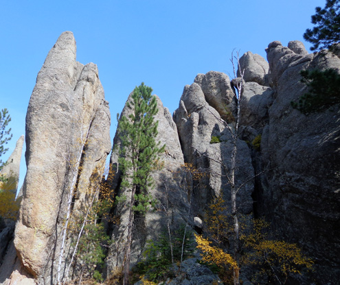
About three miles from Sylvan Lake is the trailhead for
Trail #4A to Cathedral Spires:
This strenuous trail is 1.5 miles long and is
usually hiked out and back. It's a very popular trail. I've been on only
the top part of it where it connects to Trail #4.
Here's a view of the south side of the spires from the
road near the trailhead:
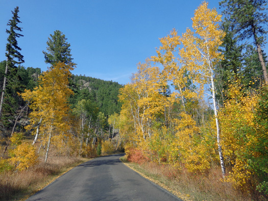
Along the Needles Highway the aspens and birches are at
their peak right now. It's a good thing there was minimal traffic on the
road today because I kept stopping to take pictures through the
windshield or out my window:
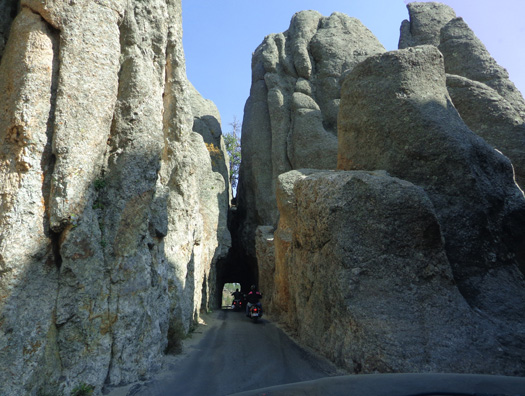
I had the pleasure of driving through two more tunnels before I got
off the Needles Highway:
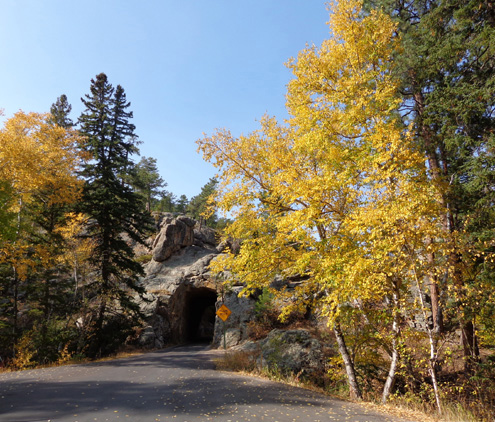
Those tunnels are narrow but not as skinny as the one where I put in the
truck mirrors to pass through without scraping.
I turned east on US 16A and drove about eight more miles to meet Jim at
the cabin area in the park.
After waiting over an hour for me to come get him, he was understandably
in a hurry to get home. He drove out of the park and up US 79 to our
campground at Ellsworth AFB just east of Rapid City.
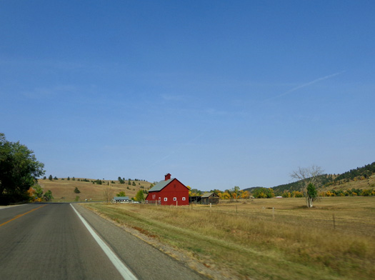
Colorful barn on US 16A east of Custer State Park
A more scenic option would be to drive north on Iron Mountain Road from
Custer State Park to the town of Keystone and back on US 16 but that would have taken
twice as long.
We both had a great day down in the Black Hills today.
We plan to go back a couple more times while we're in the area so stay
tuned for more adventures in the Hills . . .
Next entry: more cycling on the Mickelson Trail, photos
from the stockade at Stockade Lake, plus a visit to Prairie Berry Winery (yum!)
Happy trails,
Sue
"Runtrails & Company" - Sue Norwood, Jim O'Neil,
and Cody the ultra Lab
Previous
Next
© 2012 Sue Norwood and Jim O'Neil
