Continued from the previous page . . .
MORE DETAILS ABOUT THE ASCENT
Every trail at Exit Glacier begins at the nature center, located in the far right
bottom corner of the aerial photo below:
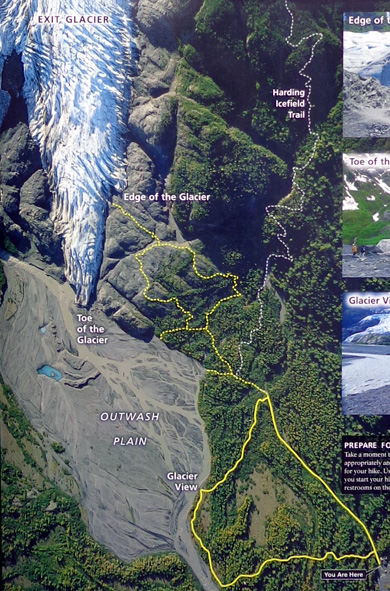
I followed the paved and crushed rock Glacier View and Edge trails
(yellow solid and dotted lines above) for 4/10ths mile to the intersection with the Icefield
Trail (white dotted line). That 4/10 mile is fairly flat and smooth.
Jim and I hiked on most of those yellow trails
yesterday.
That was the last flat, smooth trail I'd see until I got back down to it
again this afternoon.
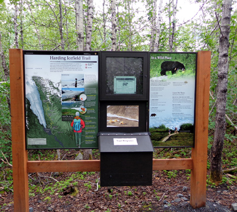
Soon after I turned onto the Harding Icefield Trail I signed a trail register
(in box, above) and noted several people had already signed it this morning.
Having some people
ahead of me was good
because they might scare off any bears and their presence offered a bit of a
safety net for me since I was hiking alone.
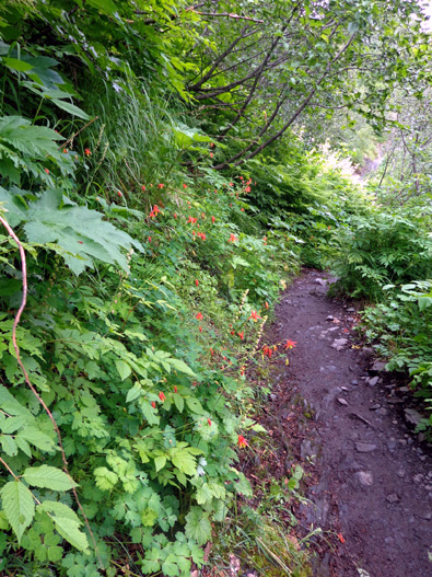
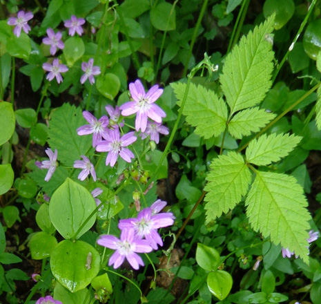
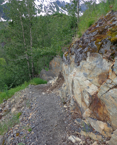
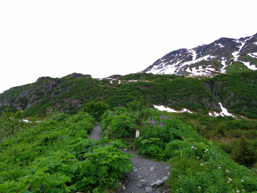
The first mile on the Icefield Trail is through very lush rainforest
with lots of leafy alder brush, ferns, and flowers – lupines,
columbines, cow parsnip, and many others. A couple flowers were new to me,
including the blue ones below:
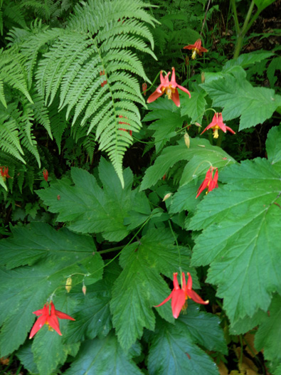
Above and below: red columbines
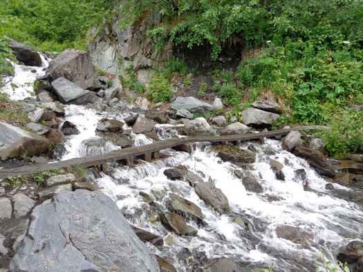
The trail soon began a steady climb over rocks and crossed two creeks on
rustic wooden bridges, one about 25 feet across:
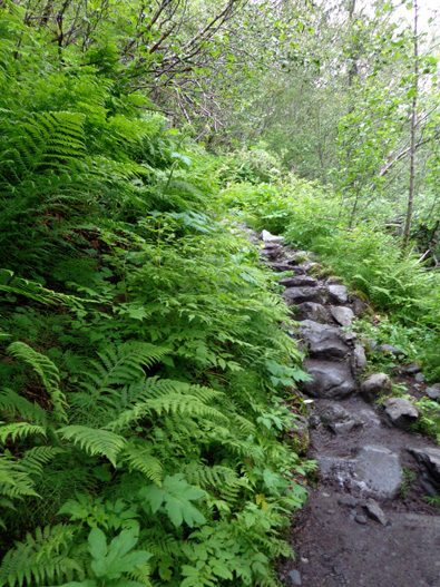
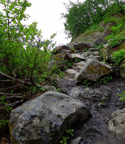
The first mile had the most rock steps and rock
scrambling that I encountered today:
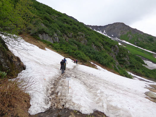
Since the last 2+ miles of trail were under snow I don't
know how rocky they are.
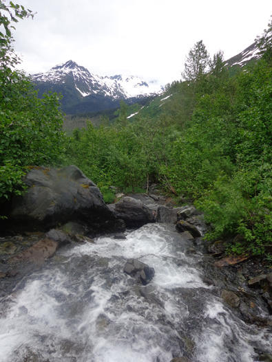
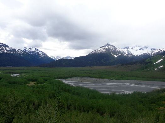
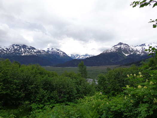
In the second mile I got high enough for
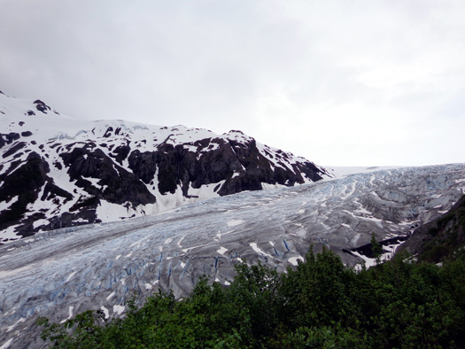
the first views of Exit Glacier to the south, the outwash plain and valley below
the glacier, and a long ridge of mountains to the east:
In the
second mile I was above some of the snow in shadier spots.
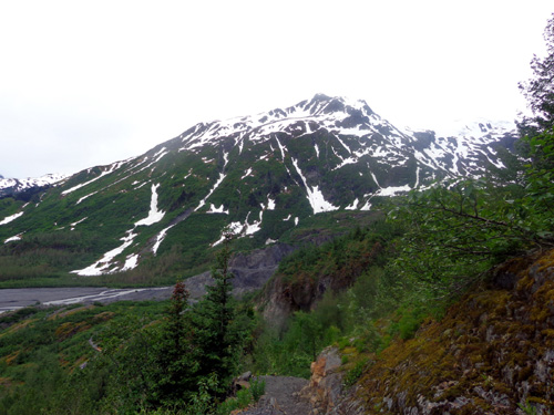
I loved this ridge full of lupines and good
views:
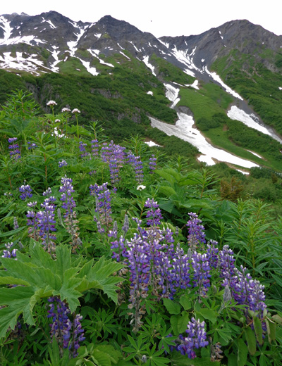
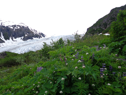
View of Exit Glacier
Today there were very few flowers above this ridge.
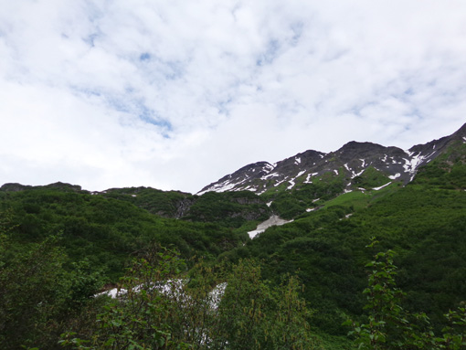
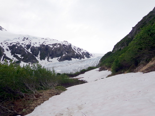
Soon after that I started running into an increasing amount of snow on the trail
and had my first views of the ice field above Exit Glacier:
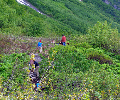
I came to an exposed rock outcropping where
several trail work volunteers and a couple hikers who'd been ahead of me were
stopped above Exit Glacier, taking a break.
I could see more of the ice field from there:
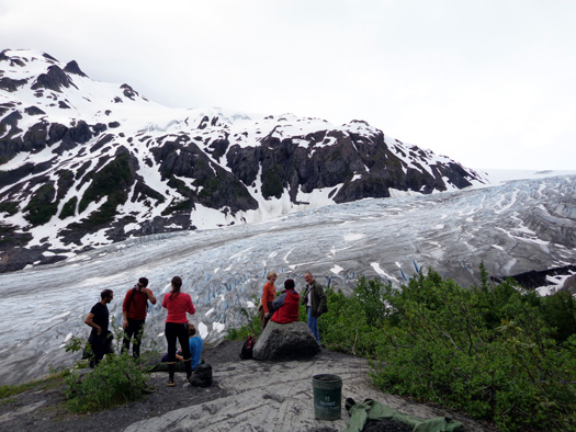
That
point felt the closest to the glacier until I was near the end of the
trail at the ice field.
Just beyond that overlook I saw more volunteers working on the trail:
Soon four young hikers passed me:
By that point I'd already passed six of the seven hikers who'd signed
the trail register before I did.
I liked having these four ahead of me because
they helped to break trail through the new snow that fell last night. I could
also see them most of the way to the top, which was a helpful reference
point.
After several minutes and climbing about 300 feet higher, people below
me at the overlook appeared quite small. I highlighted the folks on the
rocks -- there were more now -- and the volunteers working along the trail:
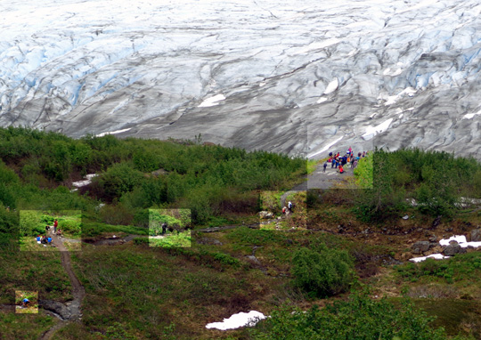
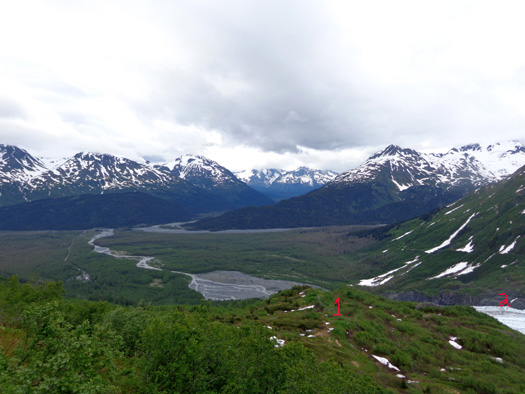
As I got above the trees I could see more and more of the valley.
In the photo below, #1 is the ridge with the lupines and other flowers.
Number 2 is the lower part of Exit Glacier:
It should be obvious from the photos that you don't have to climb all
the way up to the ice field to get great views along this trail.
Continued on the
next page . . . now we're
really having some fun!
Happy trails,
Sue
"Runtrails & Company" - Sue Norwood, Jim O'Neil,
and Cody the ultra Lab
Previous
Next
© 2012 Sue Norwood and Jim O'Neil
