Continued from the previous page.
After my bus reached the Eielson Visitor Center I went inside to see if there
was anything I needed to know before hiking up the alpine trail to Thorofare Ridge.
Nope, nothing new -- just head on up!
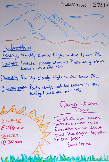
I also checked the weather board, which is updated each morning:
I could have signed up for the ranger-led hike at
noon but preferred to go at my own (faster) pace and have the luxury of
wandering around the tundra for as long as I wanted. Each day eleven
people can sign up for this free hike.
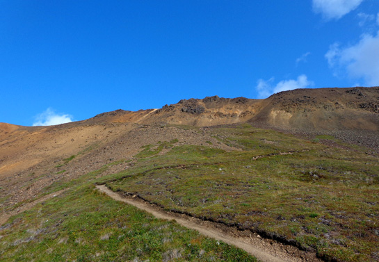
I left the visitor
center
at 10:40 AM, crossed the road, and started up a narrow side trail that
merged with the main trail after about a hundred yards:
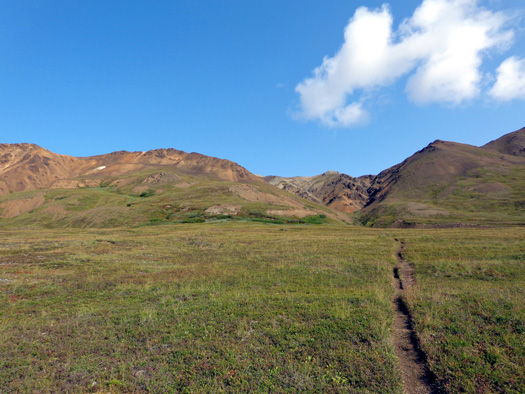
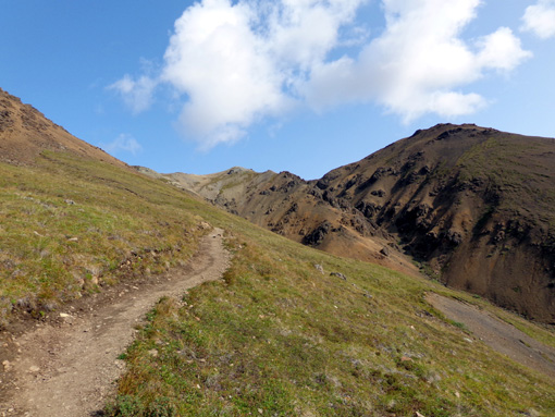
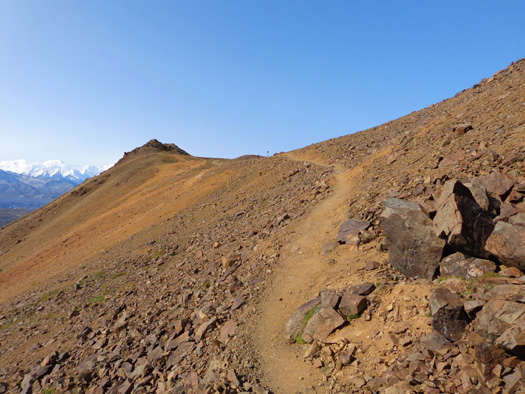
Thorofare Ridge is in the distance in that photo.
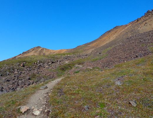
It took me 35 minutes to reach the saddle where there is a sign that says
“End of Maintained Trail.”
From there you can explore in three directions as long as your little
heart desires. I walked around on top for 1˝ miles. The ranger said it
takes about an hour to reach the top. If I hadn’t taken 40 pictures
(maybe more) on the way up I would have gotten there in half that time.
Here are some of the
photos I took on the way up, in chronological order and including shots
of Denali when I was facing southwest:
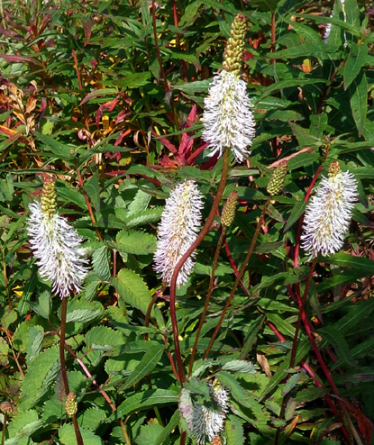
Alpine meadow bistort
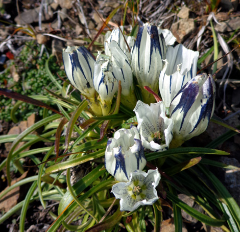
Arctic gentian
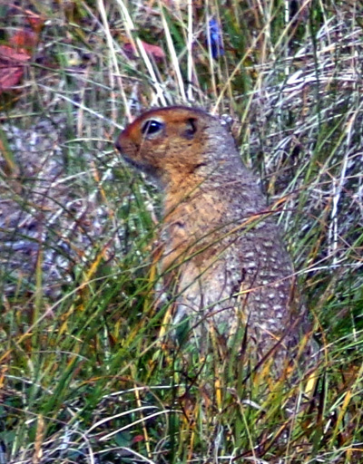
Cute, furry, and very hardy type of ground
squirrel or gopher
Thanks to several switchbacks, the grade up the mountain wasn’t as steep as I
expected – just over 1,000 feet in a mile from the trailhead at the park road
to the sign, farther to reach some higher points on the ridge.
My elevation ranged from 3,766 feet at the trailhead to 4,806 feet at
the saddle and 4,883 feet at the highest point I reached on the ridge.
My GPS may be wrong, however. Maps indicate Thorofare Ridge is about
5,000 feet high.
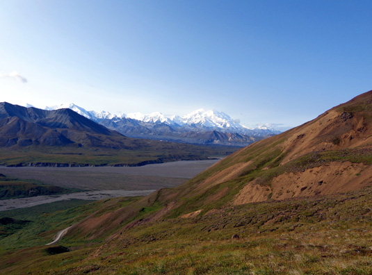
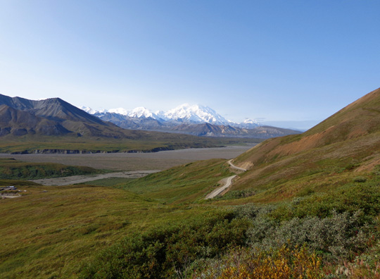
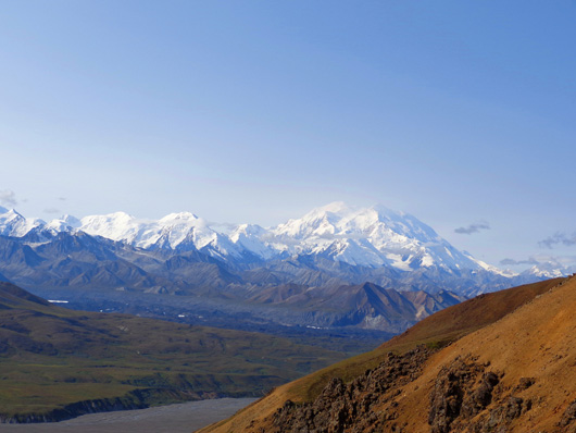
Above and below: Denali was still pretty
visible several minutes up the trail.
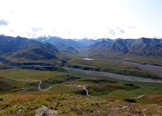
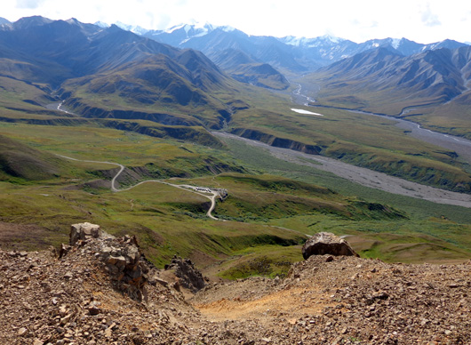
Looking down at the park road, visitor center,
Gorge Creek, and Thorofare River
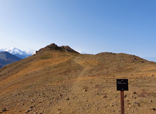
"End of Maintained Trail" sign at the saddle;
to me, that's just an invitation to explore further!
I reached the saddle at 11:15 AM and was apparently the first person up
there this morning. No one came down as I went up and no one was up
there; I would have seen them.
I had the whole place to myself – and a curious raven that circled right
over me – for 65 minutes.
Here are some views from or near the saddle as I turned in every
direction:
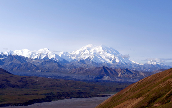
Southeast to visitor center
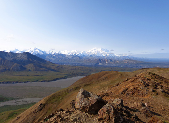
Southwest to Denali
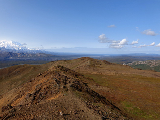
West to more of the ridge tundra
I'd explore
North to Mt. Galen (elev. 5,022
feet, just a little higher than I got on Thorofare Ridge)
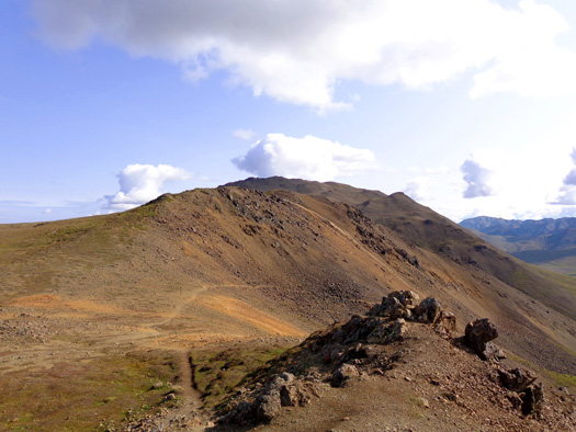
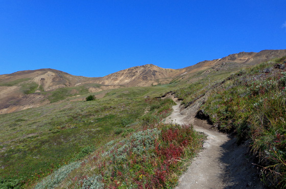
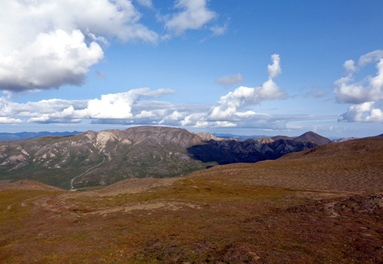
East to another part of the ridge
I'd explore; you can see the path going back down.
Continued on the
next
page: scenes from 1˝ hours on
the ridge
Happy trails,
Sue
"Runtrails & Company" - Sue Norwood, Jim O'Neil,
and Cody the ultra Lab
Previous
Next
© 2012 Sue Norwood and Jim O'Neil
