We spent the night after the Jemez race in our camper near the Posse
Shack, as did several of the other runners and volunteers who were
involved with the event all day on Saturday.
I slept well but Jim didn't; that's typical because of the
fatigue, adrenaline, and other bodily stresses from a long race like this (even 50K when
you're not optimally trained for the distance or difficulty).
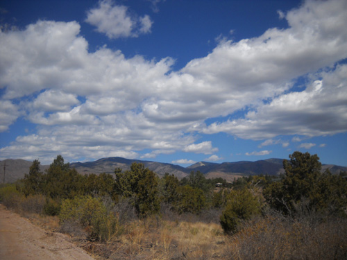
We awoke to bright sunshine and an almost cloudless sky this morning.
More clouds rolled in during the afternoon but it was still sunny most
of the day and less windy than during the race yesterday. Temperatures
were a little warmer today, from the 50s F. to the low 70s.
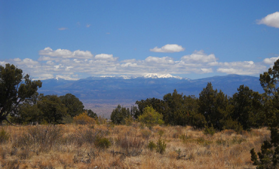
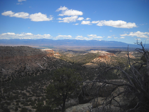
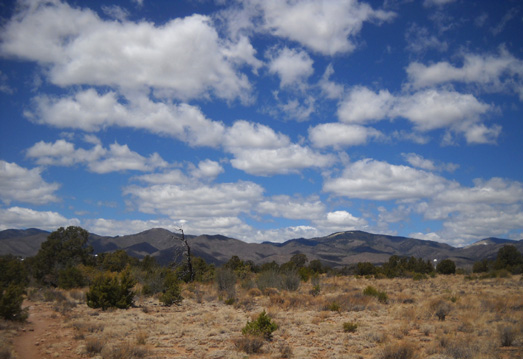
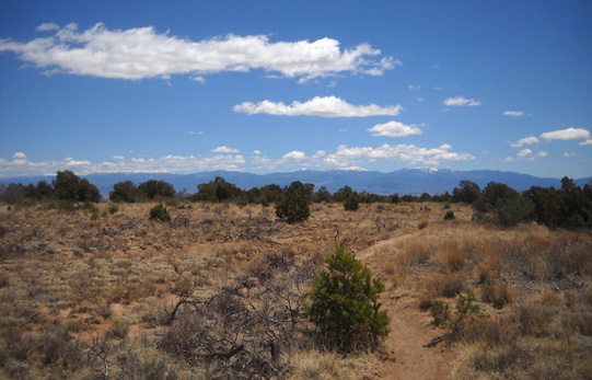
A view of the Sangre de Cristo Range from Kwage
Mesa; note the snow on the peaks in late May.
This morning Jim went for a short trail walk in Bayo Canyon with Cody while I rode
my bike out on Kwage Mesa. His hips are sore but his legs, including his previously
injured knee, and the rest of his body feel pretty good, considering how
rough the Jemez course is.
MAP LOCATIONS
This entry features pictures I took during my 6-mile hike yesterday
and 7˝ mile bike ride this morning on Kwage
Mesa, a long finger of land which extends east from North Mesa.
All the mesas on which Los Alamos is
built separate into two or more "fingers" with different names. Here's a
mini version of my favorite Los Alamos map that illustrates these long,
thin spits of land. You can find a larger .pdf
map at this
link. The brown areas are canyons; the
green ones are mesas (or mountains to the left):
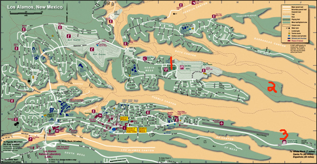
The red #1 was our location this weekend on North Mesa near the Posse Shack. Number 2
indicates Kwage Mesa; it extends beyond the map on the right,
between Bayo and Pueblo Canyons. The horse stables are in the light
green area between #1 and #2.
Dotted lines on the mesas and in the canyons indicate trails. Los
Alamos has an extensive trail system, as does the Santa Fe National
Forest west of the city.
Number 3 is our usual camping location at the Eastgate-Sunrise Park
and RV Station on Los Alamos Mesa (the plateau on
which downtown Los Alamos is built). We moved the camper back there this
afternoon.
PHOTOS FROM THE TRAILS ON KWAGE MESA
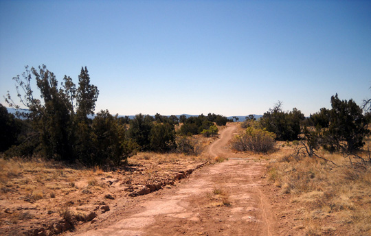
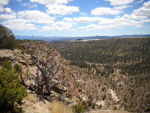
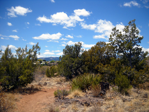
Yesterday during the race Cody and I
walked through the stables and past the fair and rodeo
grounds to reach the loop trail around the chunky part of Kwage Mesa. This photo looks back where we just hiked:
The trail is wide and fairly smooth on
the northern side of the loop above Bayo Canyon:
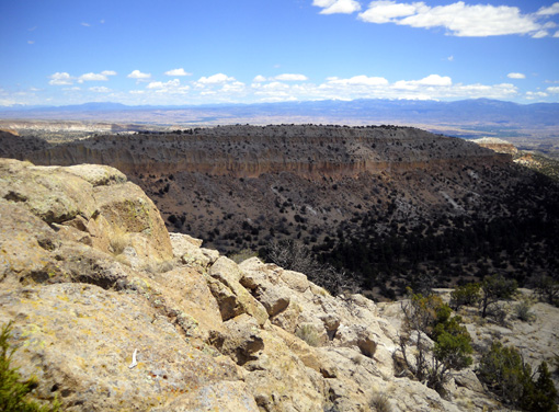
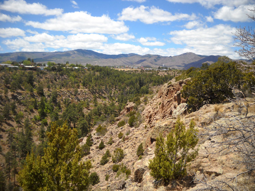
There are scenic views to the north, east, and west over Bayo Canyon
if you get off the trail a couple hundred feet and go over to the north rim of Kwage Mesa:
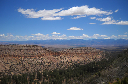
Looking east toward the Sangre de
Cristo Range
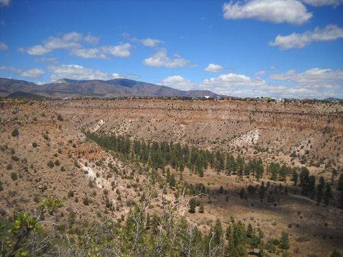
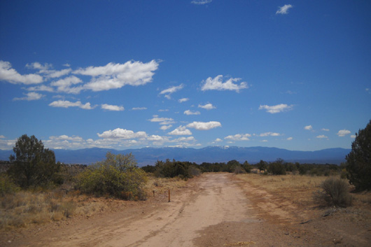
View west toward the Jemez
Mountain Range
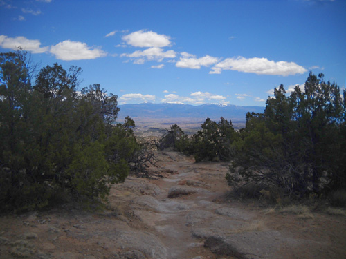
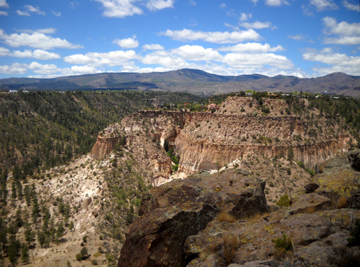
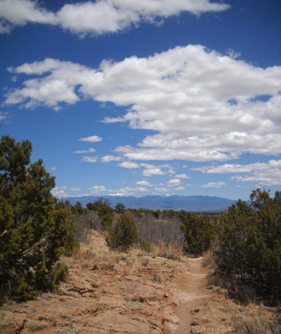
At the far end of the loop a single track
trail follows
the skinny part of the mesa to its point at the eastern end, with scenic
views overlooking vast canyons and the Sangre de Cristo Mountain Range:
There isn't a trail that goes into the
canyon from the point, although I suppose hikers and runners could do some
cross-country bouldering to get down to the trails in Bayo and Pueblo
Canyons.
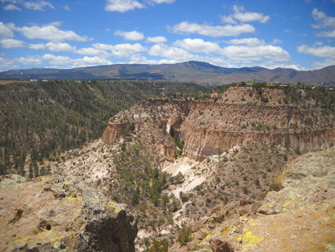
On the way back to the loop I got off-trail on the south side of
Kwage Mesa to take these pictures of Pueblo Canyon from the rim:
The trail on the south side of the loop is single-track,
curvy, and a little more rocky than the wide trail on the north side
of the mesa:
Nearing the stables:
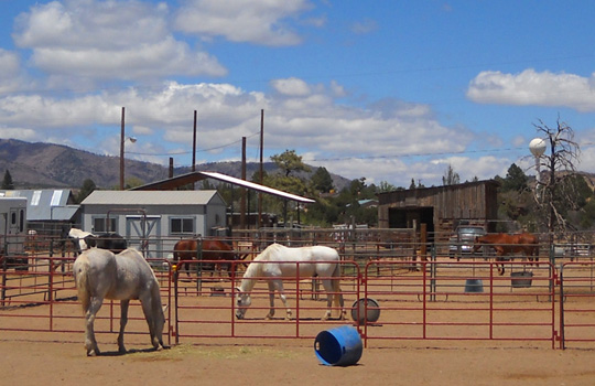
After meandering through the stables and
North Mesa Park, Cody and I had gone a total of about six miles.
This morning I rode my Specialized
TriCross bike on the same trails, plus part of the bike path along
North Mesa Road, for 7˝ miles.
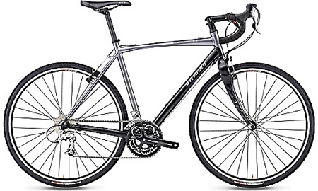
The TriCross, shown above, is a lightweight cyclo-cross
bike that is built to ride on just about any surface. I love it but
its rather smooth original tires, Borough 700 x 32Cs, have their
limitations in deep sand and rocky areas. The Kwage Mesa trails would be easier to ride with Jim's
old Trek mountain
bike and its wider, knobbier tires. I don't like riding
that heavy bike, so I'm considering getting some sturdier tires for the TriCross to increase its versatility on more gnarly trails. The tradeoff
will be decreased efficiency on pavement.
ANOTHER SHORT MOVE
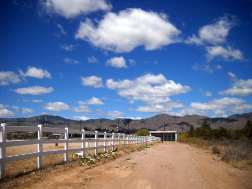
After lunch we moved the Cameo back over to the Eastgate-Sunrise Park
and RV Station where we camped last week. We were sorry to leave our
shady, now-deserted spot near the Posse Shack but the city/county frowns
on folks camping there at other times.
No one was using the dump station when we arrived at Eastgate-Sunrise. Jim dumped the
gray and black tanks and got fresh water. He backed into "our" spot near
De Colores Restaurant and we spent the rest of the afternoon and evening relaxing in
the camper. We were both pretty tired today.
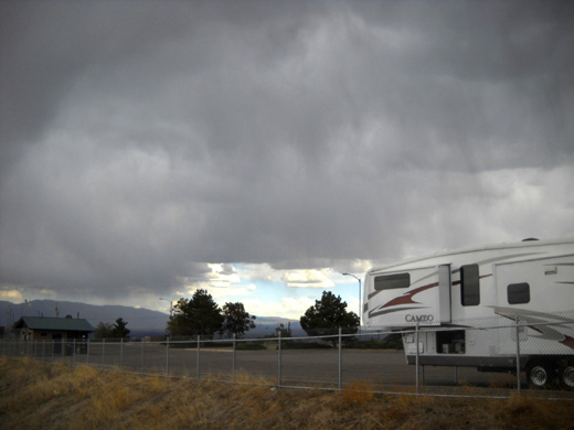
Yet another storm after we moved
back to Eastgate-Sunrise this afternoon
That storm helped motivate us to stay inside, too, although I got out
to take a bunch of pictures of the dramatic clouds. The weather report for Los Alamos
predicts more storms this week but the temperatures will probably be
warmer and more seasonable.
Our plan is to remain in the Los Alamos area until Thursday morning.
That gives us several more days to explore on foot and bike if the
weather cooperates.
Next entry: hiking the Mesa Trail on the other side of
Pueblo Canyon (a new trail to us)
Happy trails,
Sue
"Runtrails & Company" - Sue Norwood, Jim O'Neil,
and Cody the Ultra Lab
Previous
Next
© 2011 Sue Norwood and Jim O'Neil
