(Continued from page 3.)
On this page I'll continue showing photos from the Clear Lake outlet
down to South Mineral Creek Road . . .
THE ORIGIN OF CLEAR LAKE CREEK
Clear Lake Creek begins at the lower (eastern) end of the lake and flows
down into the lower part of the basin to the marsh-pond that was covered
in ice and snow just eight days ago. After spending time wandering
around the upper basin I followed the edge of the creek for a few
hundred feet to that pond instead of taking the roadway.
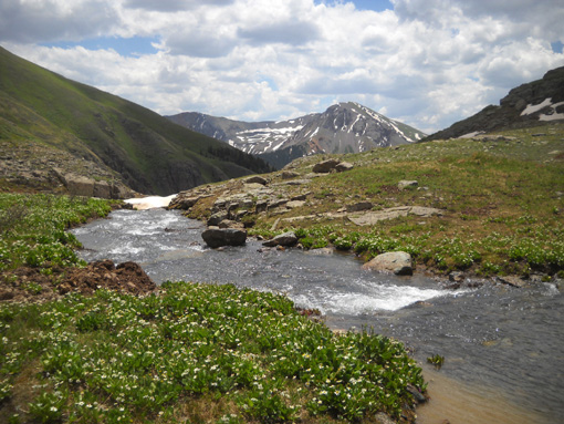
This photo shows the end of the lake and the beginning of the creek:
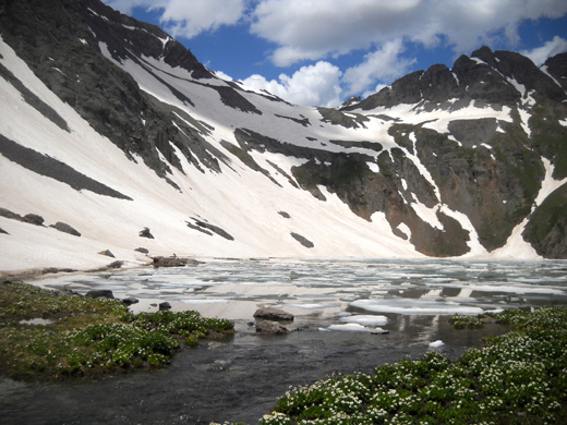
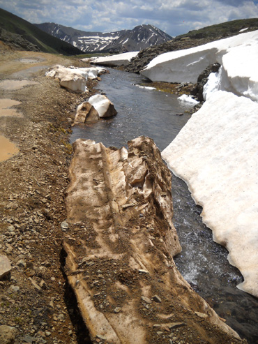
Part of the creek is open . . .
. . . and part of it is still under some snow.
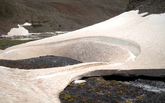
I showed part of this snow-swirl from downstream on the first page of
this series when I approached Clear Lake on the road. I think it's even
more artistic from this angle upstream:
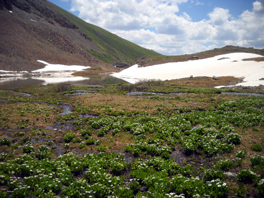
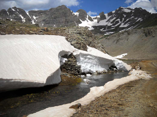
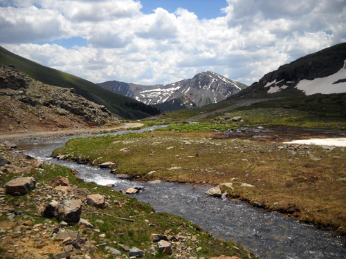
Now the creek is flowing into and through the marsh-pond in the lower
part of the basin:
I made an arc around the edge of the pond on the road. Last week I was
walking over several feet of snow right here:
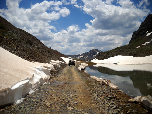
It's amazing not only how much snow remains on July 4 this year, but
also how much has melted in the last eight days.
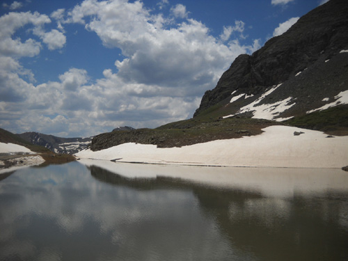
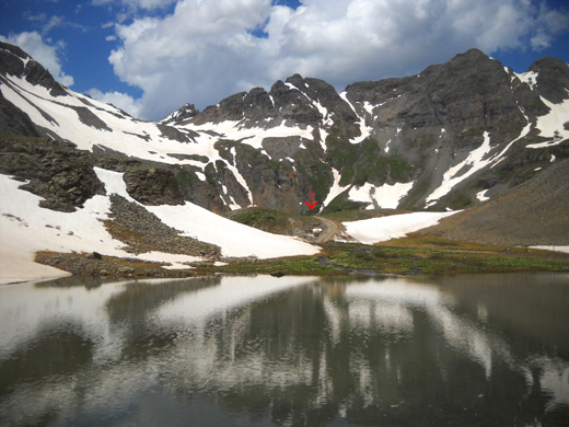
Here's one last look back at the upper lake basin. Clear Lake is
contained in the basin marked by the arrow:
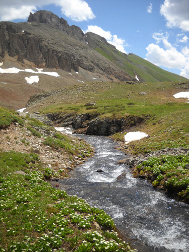
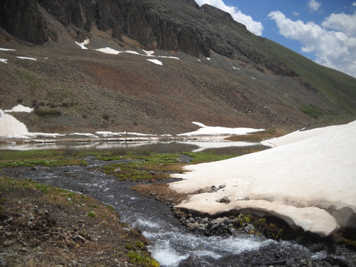
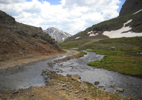
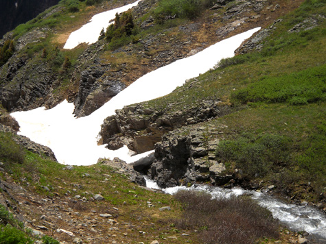
Clear Lake Creek exits the marsh-pond and continues flowing downhill
gradually for a few hundred feet before rapidly losing elevation:
Contrast between clean and dirty snow
Looking back at the interesting snow sculpture
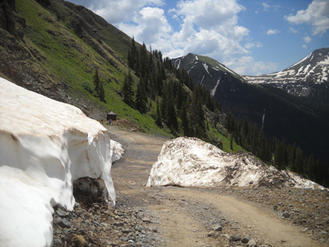
Part of the road is under water here.
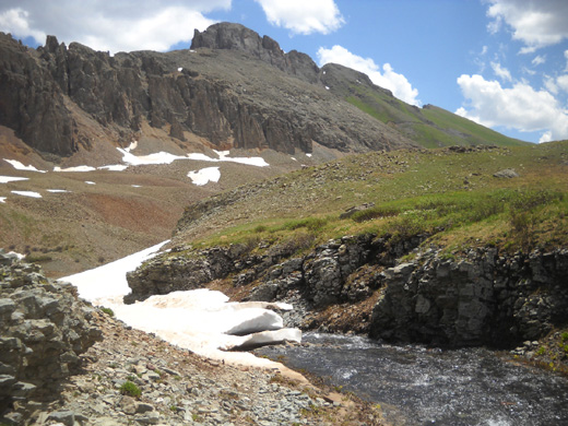
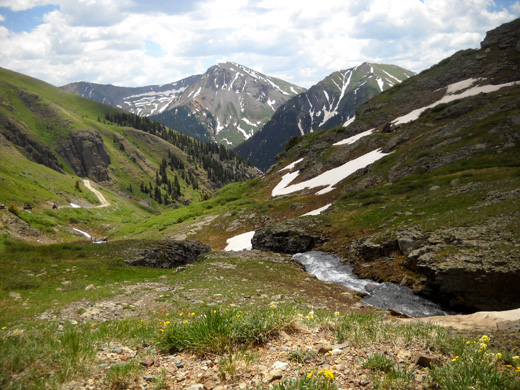
Now the creek begins a major descent down the mountainside to South
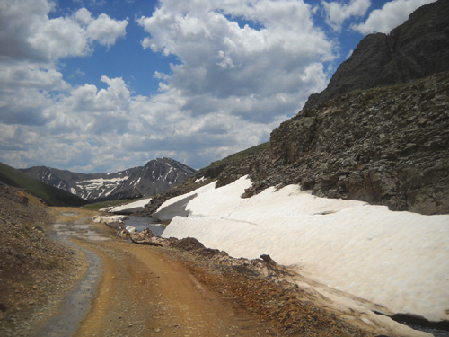
Mineral Creek about 3,000 feet below. It continues in and out of snow:
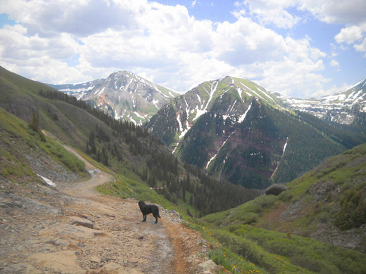
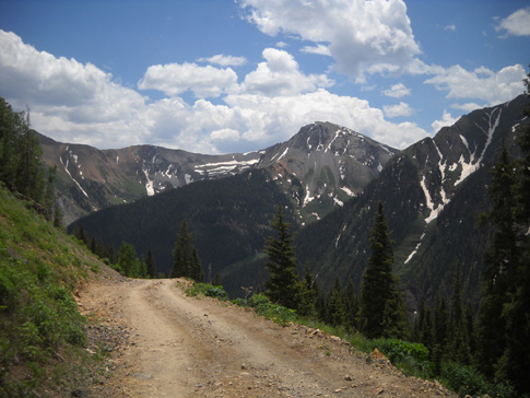
Cody and I continued down the road. Switchbacks helped make our descent
less precipitous than the the creek's drop. The views were just as
magnificent going downhill as they were climbing up the mountain:
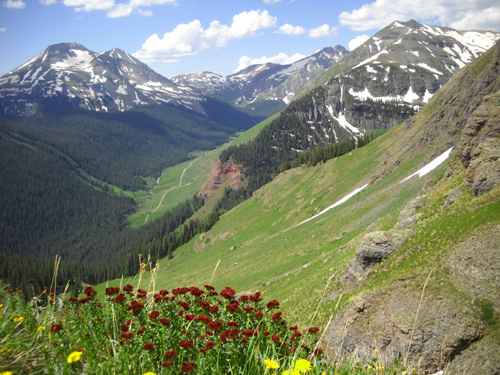
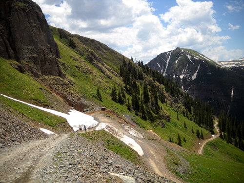
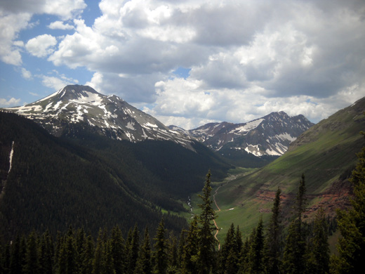
Above and below: remaining snow at the mine
Typical afternoon clouds over the South Mineral
Creek valley
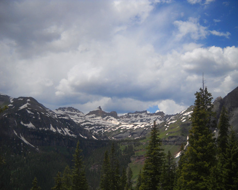
A last look at the Upper Ice Lake Basin
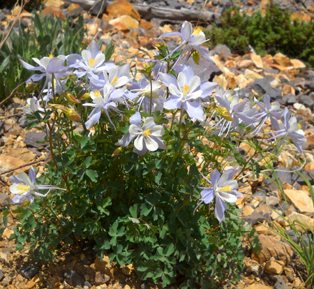
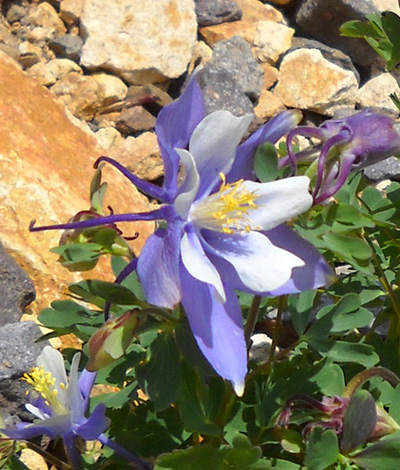
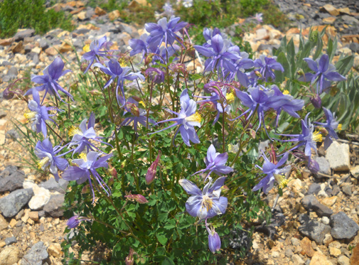
There was only one sunny spot along the road at about 11,000 feet where
several clumps of columbines were blooming:
What a great hike! It was interesting to see so many changes from only
eight days ago.
As you can tell from the photos on the last four pages there was plenty
of water for Cody up in the basins but not so much for 3+ miles on the
way up and down.
I took extra water for him in my Camelbak bladder so he didn’t have to
carry his pack. He enjoyed that freedom. He could drink from a couple
places along the road well before we got to the mine (I don’t want him
drinking that stuff) plus the creek and lake at the top.
He also swam a little bit in the water where there weren’t ice flows.
It’s cold! So is S. Mineral Creek, where I washed him off (and my shoes)
when we got back to the campground. We were both muddy.
Jim picked us up at the bottom of FSR 815 about 2 PM and we spent the rest of the afternoon in
the campground.
BRIEF UPDATES
-
In the afternoon Marcy Beard and two friends who will crew for her in
the race stopped by to chat with us. John Beard is in Leadville dealing with a
truck repair; he'll come down to Silverton as soon as it's fixed.
It was good to see Marcy again! Her training for the race has gone well
and she's optimistic about a finish.
-
A few folks have already left the CG. The majority will probably be
gone tomorrow.
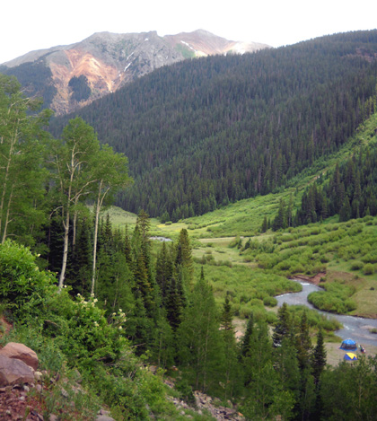
View of S. Mineral Creek from the road up to Clear
Lake
-
David Horton is almost through with his
3,000+ mile Continental Divide bike race. He
should be finishing at the Mexican border tomorrow. What an
accomplishment!
-
The Las Conchas Fire has grown to 192,000+ acres, per a radio report we
heard today. Folks in Los Alamos are able to return to their homes now
and the National Lab will be back in business on Wednesday. Bandelier
National Monument, Valles Caldera National Preserve, and a bunch of national forest areas and
some state parks are still closed, as are some residential areas in
canyons. Deb and Steve Pero’s house in Jemez Springs area
is OK. The cause of the fire has been determined – a fallen tree on a
power line (glad it wasn’t someone’s carelessness). A/O yesterday, 2,164
personnel were involved in fighting the fire and it was only 19%
contained.
-
After supper Jim went to town to watch a movie with free WiFi and work with
his ham radio. The radio is complicated and he hasn’t used it since last August
at Leadville. He may not need to use it at the Cunningham aid station
during the Hardrock race but he wants to be
able to, if needed.
Next entry: Hardrock pre-race and other activities
