Jim and I have been out on the 13-mile Falcon Trail loop several times
because it is so convenient to our campground and it's just a great
course for hiking, running, and cycling. From our current campsite we
can reach the trail in about half a mile.I showed some photos of this
loop in the last entry to illustrate the diversity of trail surfaces.
I'll include more of the views you can see from the trail on this page.
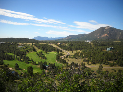
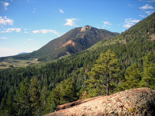
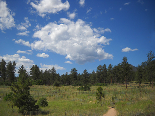
Overview of part of the campus
from one of the ridges
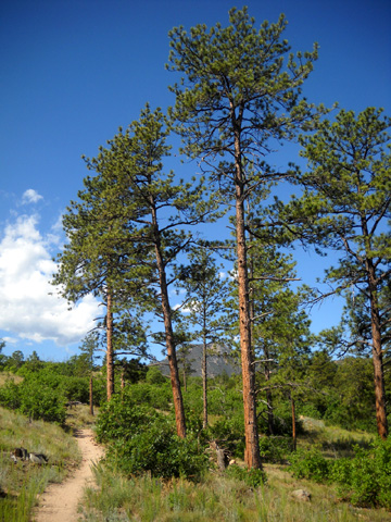
The trail winds through
mostly scenic sections of the USAF Academy property (note that almost
every square inch of the campus is gorgeous!).
It passes a golf course, the stadium, the cadet area, and other
buildings on campus but mostly runs through quiet forests and fields.
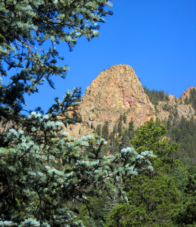
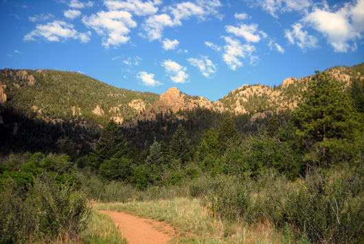
From the ridges there are great views of Pike's Peak, the Rampart Range,
and the city of Colorado Springs.
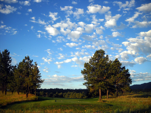
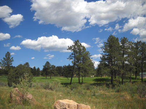
Above and below: two views
of the golf course from the Falcon Trail
Elevations around the loop range from 6,670 to about 7,500 feet per our
GPS.
There are a few fairly flat spots through meadows but most of the
trail goes either up or down. A few spots are steep; most grades
are gentle, however.
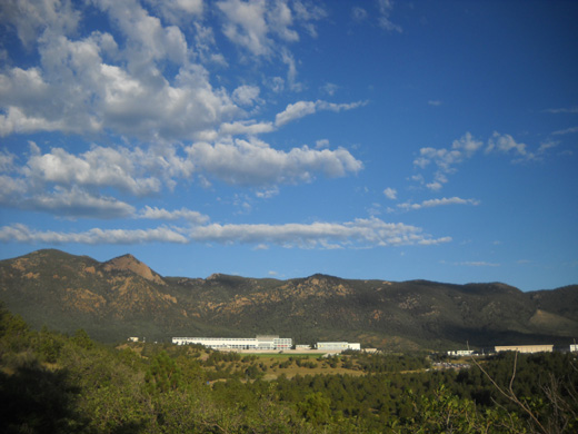
Looking down at the cadet area;
the Rampart Range is in the background.
Some sections of the loop are too rugged for us to ride. This is a
popular mountain biking course for locals who have more skill and
bravado than we do. We've both had our share of nasty bike wrecks so
we're not going to tempt fate during this visit by attempting to ride
the entire loop, just parts of it.
I'm a little paranoid of kamikaze cyclists when I'm hiking on this
trail.
Both Jim and I have learned to avoid it on weekends when the young,
local cyclists come out in droves. The cadets who ride the trail on
weekdays tend to be much more alert and courteous of fellow trail users.
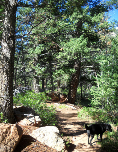
I have to keep Cody on the leash most of the time on this trail so he
doesn't get run over or cause an accident.
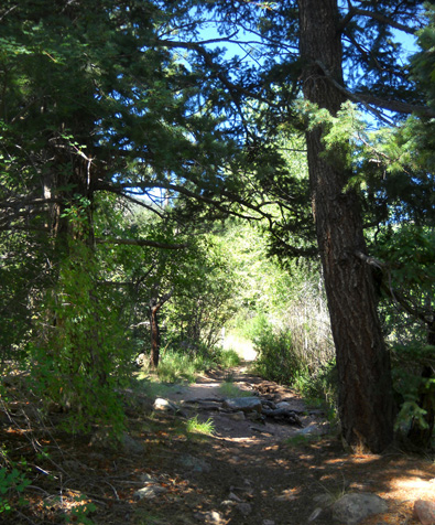
The trail is often narrow. It
twists and turns and goes up and down. In many places it isn't easy for
cyclists to see runners and hikers ahead of them, and too often they
don't give adequate warning if they do see someone on foot.
I hate it when cyclists come screaming up from behind and don't say
anything until they're almost on top of me. I'd be even more concerned about the cyclists if I was riding a horse:
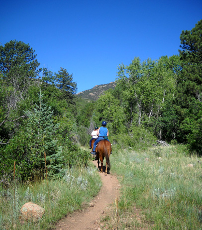
I've been out on this trail more than Jim since we've been here this
time. I like to take Cody out for a walk after breakfast on weekdays
before it gets too hot. Jim isn't able to hike but he has ridden
sections of the loop on his old and new mountain bikes.
Photos in this entry and the last one are from several different
hikes and rides the past ten days.
The day I hiked the entire loop, last Friday, I went alone. There
isn't much water in the creeks this time of year for Cody to drink, the
temperature was predicted to reach 90 F. , and I didn't want to deal
with him on the least for several hours.
That day I started from the camper at 6:25 AM and finished 13.7 miles
later at 11:25 AM. It was already 85 F. when I got back.
I missed Cody's company that day but enjoyed the solitude on most of
the trail. I went CCW because most of the cyclists I've seen on the
trail go CW. In five hours I saw only one runner, four hikers, four cyclists,
and four equestrians (most or all of the trail is open to horse riders,
too). I could see all the bikes coming toward me, which was good.
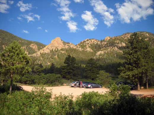
A couple days ago Jim and I parked on the far side of the loop so I could
access my favorite part of the trail (which includes the views in
the last
three photos above):
Jim rode his new bike from the parking area to the campground, a
distance of about ten miles. Part of his route was on the Falcon Trail,
part on campus roads.
Cody and I did an out-and-back hike on the trail that included the high point in
the foothills of the Rampart Range and a scenic area with rock walls and
boulders:
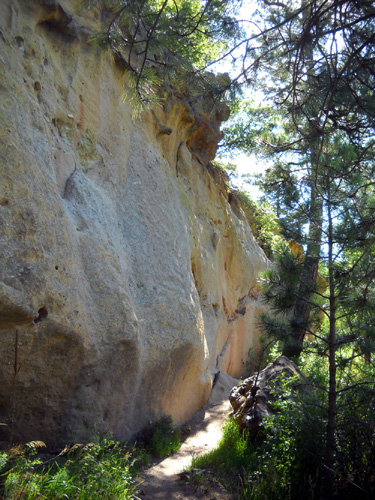
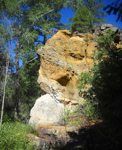
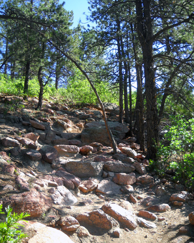
The main trail has a steep, very rocky section up and down through
those boulders for about a quarter of a mile:
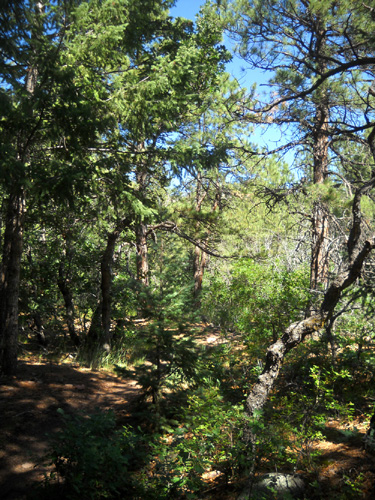
On the way back to the truck I took an alternate horse/bike route I
haven't hiked before. It stays low to avoid that difficult section. The
trail is narrow and mostly shaded:
I was happy to find water for Cody in two little creeks on that
bypass trail:
After several rain storms in recent days there was also some water for
Cody that day in two other little creeks we crossed; they were dry the
day I hiked the whole loop alone.
The only creeks on the entire loop are on the NW side. Keep that in mind
if you ever take a dog or horse on this trail, or if you need to treat
some drinking water for yourself.
Above and below: this area
on the southeast side of the loop is very dry.
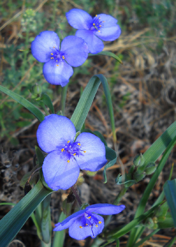
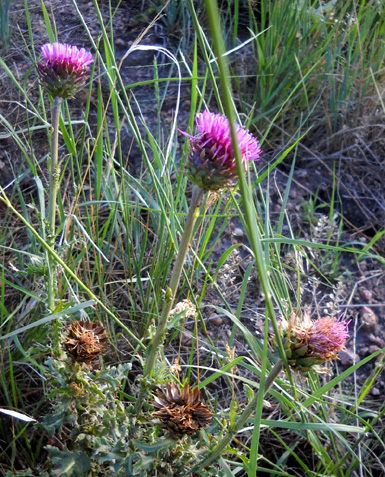
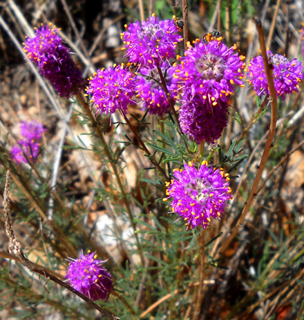
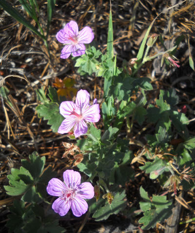
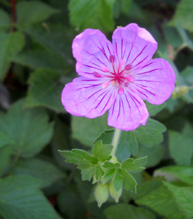
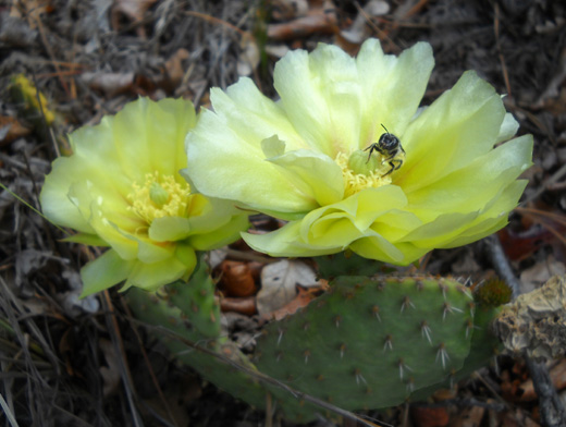
Despite the heat and drought conditions over much of Colorado this
summer there are quite a few different kinds of flowers in bloom along
the Falcon Trail.
Trees, shrubs, grasses, and flowers look better now than they did
when we were here in May. Here are a few of them:
We've had several brief but heavy thunderstorms at the Academy since
we arrived on the 18th -- typical Colorado summertime "monsoons."
Flooding isn't good but the vegetation and critters appreciate the
moisture.
You can see additional photos of the Falcon Loop in the
May
30, 2010 entry.
Next entry: colorful photos from Red Rock Canyon trails
Happy trails,
Sue
"Runtrails & Company" - Sue Norwood, Jim O'Neil,
and Cody the Ultra Lab
Previous
Next
© 2011 Sue Norwood and Jim O'Neil
